Sgeir Leomadail
Coastal Feature, Headland, Point in Inverness-shire
Scotland
Sgeir Leomadail

Sgeir Leomadail is a prominent coastal feature located in Inverness-shire, Scotland. It is classified as a headland or point due to its distinct shape and elevated position along the coastline. The name "Sgeir Leomadail" is derived from Scottish Gaelic, with "Sgeir" meaning rocky outcrop and "Leomadail" referring to a specific person or clan associated with the area.
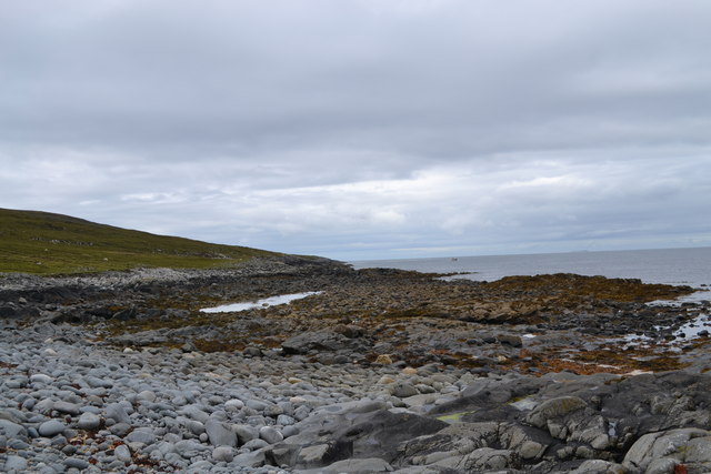
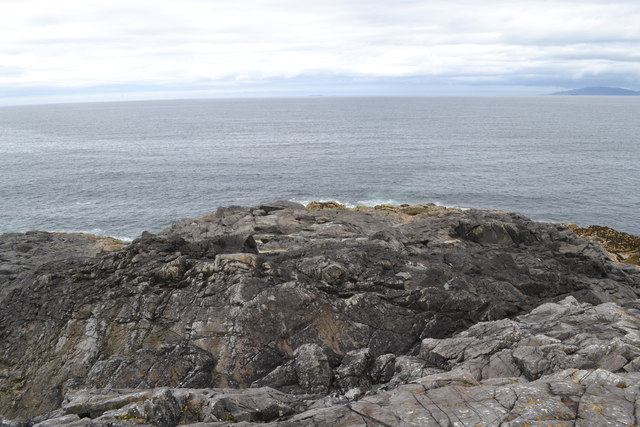
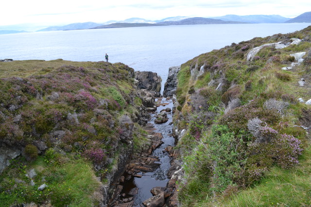
This coastal feature is characterized by its rugged and rocky terrain, consisting of steep cliffs and jagged boulders. Sgeir Leomadail juts out into the sea, providing breathtaking panoramic views of the surrounding landscape and the vast expanse of the Atlantic Ocean. The headland is often exposed to strong winds and crashing waves, making it a popular spot for nature enthusiasts and photographers.
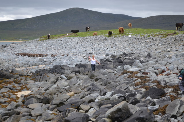
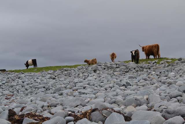
The area surrounding Sgeir Leomadail is rich in biodiversity, with various species of seabirds, including gulls and puffins, nesting along the cliffs. It is also not uncommon to spot seals and dolphins in the waters around the headland. The rugged coastal environment offers opportunities for coastal walks, birdwatching, and exploring the unique geological formations.
Access to Sgeir Leomadail is typically via coastal paths or by boat, with nearby parking and amenities available for visitors. Due to its remote location, it is advisable to come prepared with appropriate outdoor clothing and footwear. The headland is a popular attraction for both locals and tourists, offering a glimpse into the beauty and wildness of the Scottish coastline.
If you have any feedback on the listing, please let us know in the comments section below.
Sgeir Leomadail Images
Images are sourced within 2km of 57.832676/-7.0816621 or Grid Reference NF9893. Thanks to Geograph Open Source API. All images are credited.
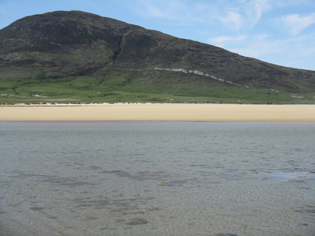
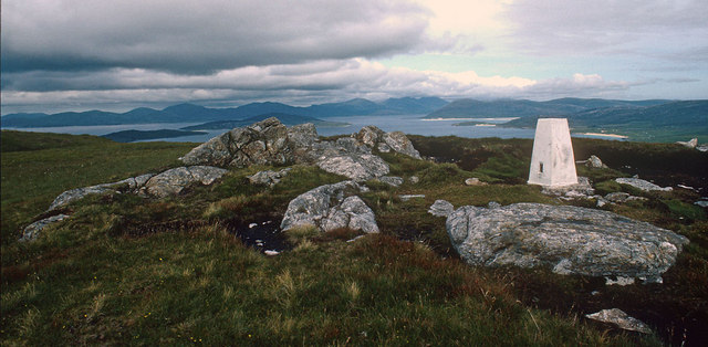
![Ceapabhal seen across Trà igh an Taoibh Thuath A prominent hill at the southwestern extremity of Harris. The clear vein across the lower part of the hill is Chaipaval [Ceapabhal] pegmatite, a Precambrian intrusion into these archaic rocks, that has been worked for feldspar.](https://s3.geograph.org.uk/geophotos/04/99/35/4993563_dc2ee857.jpg)

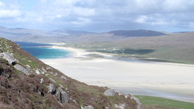
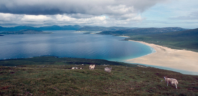
![Traigh Scarista from Toe Head From an embryonic geohda on the eastern shore of Ceapabhal [Toe Head], the vast expanse of Scarista beach is exposed by the retreating tide.](https://s3.geograph.org.uk/geophotos/03/22/63/3226387_792dfc60.jpg)

Sgeir Leomadail is located at Grid Ref: NF9893 (Lat: 57.832676, Lng: -7.0816621)
Unitary Authority: Na h-Eileanan an Iar
Police Authority: Highlands and Islands
What 3 Words
///crispier.other.graphic. Near Leverburgh, Na h-Eileanan Siar
Nearby Locations
Related Wikis

1990 Scotland RAF Shackleton crash
On 30 April 1990, a Royal Air Force Avro Shackleton AEW Mk II aircraft, of No. 8 Squadron RAF, based at RAF Lossiemouth, crashed into a hill on the Isle...

Borve, Harris
Borve (Scottish Gaelic: Na Buirgh) is a village in Harris in the Outer Hebrides, Scotland. Borve is also within the parish of Harris, and is on the A859...

Ensay (Outer Hebrides)
Ensay (Gaelic Easaigh) is a currently unpopulated and privately owned island in the Outer Hebrides of Scotland. The island lies in the Sound of Harris...

Leverburgh
Leverburgh (Scottish Gaelic: An t-Òb [ən̪ˠ ˈt̪ɔːp]) is the second largest village, after Tarbert, in Harris in the Outer Hebrides of Scotland. Leverburgh...
Nearby Amenities
Located within 500m of 57.832676,-7.0816621Have you been to Sgeir Leomadail?
Leave your review of Sgeir Leomadail below (or comments, questions and feedback).