Bogha Ghilleasbuig

Coastal Feature, Headland, Point in Argyllshire

Scotland

Bogha Ghilleasbuig

A seat with a view The coast near to Hynish.
A seat with a view Credit: Peter Mackenzie

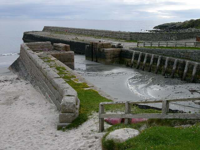
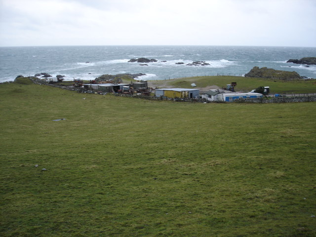
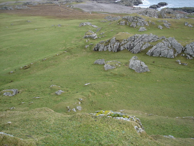
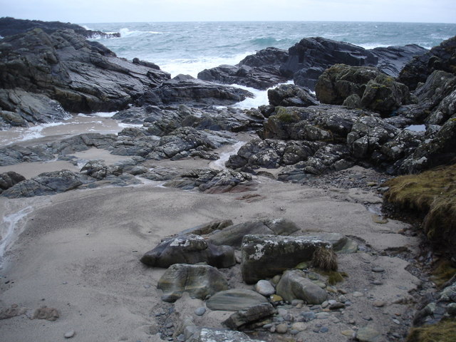
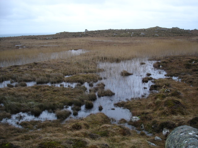
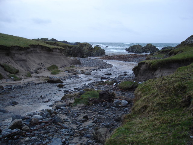
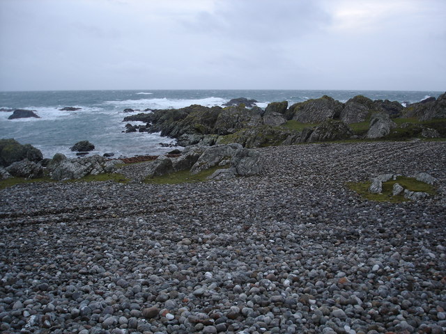
Bogha Ghilleasbuig, also known as Gillies Point, is a prominent headland located in Argyllshire, Scotland. Situated on the western coast of the region, it stands as a significant coastal feature with its rugged cliffs and stunning panoramic views of the surrounding area.

The headland is named after Saint Giles, who is believed to have traveled to this area in the 7th century to spread Christianity. The name "Bogha Ghilleasbuig" translates to "Gillies' Bow," referring to the shape of the headland, resembling a bow or arch.

Covered in lush vegetation, Bogha Ghilleasbuig is a haven for wildlife, attracting numerous bird species, including seabirds such as puffins, guillemots, and gannets. The area is also home to various marine creatures, such as seals and dolphins, which can often be spotted swimming in the waters surrounding the headland.

The headland offers visitors a chance to explore its diverse landscape, with walking trails meandering through its cliffs and coastal grasslands. These trails provide breathtaking views of the Atlantic Ocean and the nearby islands of Mull and Jura.

Bogha Ghilleasbuig is a popular destination for outdoor enthusiasts, offering opportunities for hiking, birdwatching, and photography. Its dramatic cliffs and rugged coastline make it an ideal spot for capturing stunning natural landscapes.

Overall, Bogha Ghilleasbuig in Argyllshire stands as a picturesque coastal feature, with its rich history, diverse wildlife, and stunning vistas, making it a must-visit destination for nature lovers and those seeking a tranquil escape.

If you have any feedback on the listing, please let us know in the comments section below.

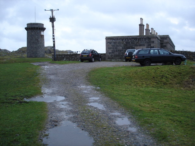
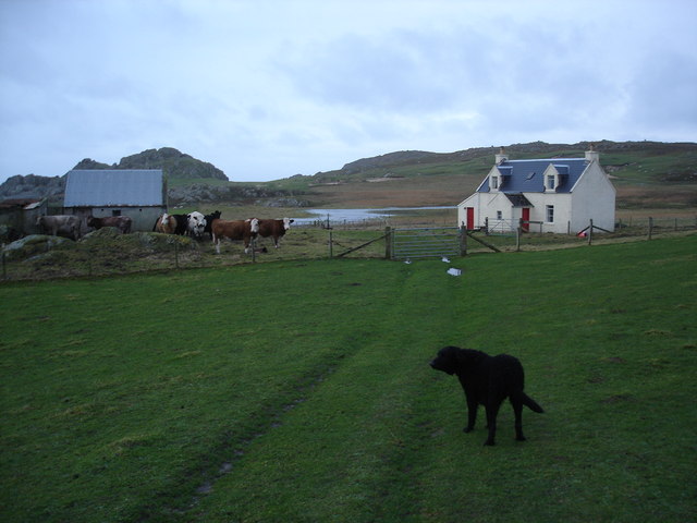
Bogha Ghilleasbuig Images

Images are sourced within 2km of 56.443309/-6.8961042 or Grid Reference NL9838. Thanks to Geograph Open Source API. All images are credited.

A seat with a view The coast near to Hynish.
A seat with a view
The coast near to Hynish.
A walk to Hynish, Tiree
Rock south coast of Tiree
B8066 approaching Hynish The Skerryvore shore station on the skyline.
B8066 approaching Hynish
The Skerryvore shore station on the skyline.
Hynish On a rocky shoreline without a fertile machair there is a small settlement, it was the shore station for the Skerryvore lighthouse.
Hynish
On a rocky shoreline without a fertile machair there is a small settlement, it was the shore station for the Skerryvore lighthouse.
End of the B8066, Hynish Roads end on the southern tip of Tiree.
End of the B8066, Hynish
Roads end on the southern tip of Tiree.
Semaphore tower, Hynish The signalling tower for communicating with the builders of the Skerryvore lighthouse, 20km out to sea from here.
Semaphore tower, Hynish
The signalling tower for communicating with the builders of the Skerryvore lighthouse, 20km out to sea from here.
Dockside at Hynish An old photo from the early 1990s showing the pier and village which was constructed in association with the Skerryvore Lighthouse.
The same view as in <a href="https://www.geograph.org.uk/photo/4508020">NL9839 : Hynish from the end of the pier</a> taken some twenty years later, which shows the place has been repaired and smartened up a bit.
Dockside at Hynish
An old photo from the early 1990s showing the pier and village which was constructed in association with the Skerryvore Lighthouse. The same view as in NL9839 : Hynish from the end of the pier taken some twenty years later, which shows the place has been repaired and smartened up a bit.
Rocky Ground at Hynish Showing the signal tower which was used for communicating with the Skerryvore lighthouse.
The original lighthouse keepers' cottages are adjacent.
From a print, date not exact.
Rocky Ground at Hynish
Showing the signal tower which was used for communicating with the Skerryvore lighthouse. The original lighthouse keepers' cottages are adjacent. From a print, date not exact.
Hynish, Isle of Tiree - Pier The disused dock of the former shore station for the Skerryvore Lighthouse
Hynish, Isle of Tiree - Pier
The disused dock of the former shore station for the Skerryvore Lighthouse
Farm buildings near Hynish A collection of tin buildings and mobile homes complete with sheepdogs.  It did have the feeling that the whole lot would blow away when a serious wind blew.
Farm buildings near Hynish
A collection of tin buildings and mobile homes complete with sheepdogs. It did have the feeling that the whole lot would blow away when a serious wind blew.
Near the fort When I was here I was convinced that this was the location of the fort on the map.  The high ground on either sided and the parallel ridges remains of ditch systems.      Although it could be that the hill I'm standing on was the site.
Near the fort
When I was here I was convinced that this was the location of the fort on the map. The high ground on either sided and the parallel ridges remains of ditch systems. Although it could be that the hill I'm standing on was the site.
Port Snoig This is typical of this section of coastline.  Small sandy beaches and lots of rocks.
Port Snoig
This is typical of this section of coastline. Small sandy beaches and lots of rocks.
Linne Thorramhuill A very heavily reeded lochan, or maybe just very wet bog.  The whole area is rather damp as it seems to be the source of several rivers.
Linne Thorramhuill
A very heavily reeded lochan, or maybe just very wet bog. The whole area is rather damp as it seems to be the source of several rivers.
Signal tower and lighthouse keeper's houses Now the Signal Tower Museum.
Signal tower and lighthouse keeper's houses
Now the Signal Tower Museum.
Millport house and barn
Allt Ban as it reaches the sea
Pebble beach on the south coast of Tiree
Show me another place!

Bogha Ghilleasbuig is located at Grid Ref: NL9838 (Lat: 56.443309, Lng: -6.8961042)

Unitary Authority: Argyll and Bute

Police Authority: Argyll and West Dunbartonshire

What 3 Words

///downs.putts.subway. Near Scarinish, Argyll & Bute

Related Wikis

Mannal

Mannal is a coastal hamlet on the west side of Hynish Bay, on the island of Tiree, Scotland. The township of Mannal lies on the southwest corner of Tiree...

Tiree Music Festival

Tiree Music Festival is a Scottish folk music festival held annually on the Island of Tiree in the Inner Hebrides. The festival was founded in 2010 by...

Tiree Airport

Tiree Airport (Scottish Gaelic: Port-adhair Thiriodh) (IATA: TRE, ICAO: EGPU) is located 2.5 nautical miles (4.6 km; 2.9 mi) north northeast of Balemartine...

Scarinish

Scarinish (Scottish Gaelic: Sgairinis [ˈs̪kaɾʲɪnɪʃ]) is the main village on the island of Tiree, in the Inner Hebrides of Scotland. It is located on the...

Tiree

Tiree (; Scottish Gaelic: Tiriodh, pronounced [ˈtʲʰiɾʲəɣ]) is the most westerly island in the Inner Hebrides of Scotland. The low-lying island, southwest...

Nearby Amenities

Located within 500m of 56.443309,-6.8961042
Source: PGS
Lat/Long: 56.4458505/-6.8919911
Source: PGS
Lat/Long: 56.445041/-6.896358
Created By: dmgroom_coastlines
Source: PGS
Lat/Long: 56.44471/-6.89657
Source: PGS
Lat/Long: 56.4438292/-6.9018161
Source: PGS
Lat/Long: 56.4437981/-6.9020321
Man Made: water_well
Lat/Long: 56.4475216/-6.897303
Hynish
Is In: Tiree, Inner Hebrides, Scotland, UK
Name Gd: Haoidhinis
Place: hamlet
Source: OS_OpenData_StreetView
Lat/Long: 56.4477279/-6.8960219
Generator Method: wind_turbine
Generator Source: wind
Generator Type: horizontal_axis
Power: generator
Lat/Long: 56.4467201/-6.8960345
Power: pole
Lat/Long: 56.4453266/-6.9019285
Power: pole
Lat/Long: 56.4458308/-6.901031
Power: pole
Lat/Long: 56.4462242/-6.9003215
Power: pole
Lat/Long: 56.4466455/-6.8995381
Power: pole
Lat/Long: 56.4469828/-6.8989215
Power: pole
Lat/Long: 56.4476189/-6.8980831
Power: pole
Lat/Long: 56.4457258/-6.8994747
Power: pole
Lat/Long: 56.4455857/-6.8992446
The data included in this document is from www.openstreetmap.org. The data is made available under ODbL.

Have you been to Bogha Ghilleasbuig?

Leave your review of Bogha Ghilleasbuig below (or comments, questions and feedback).