Bodha Breac

Coastal Feature, Headland, Point in Inverness-shire

Scotland

Bodha Breac

L1 Starboard Lateral Buoy This green buoy marks the first of the buoys leading to Leverburgh and is located in the area where the buoyage changes.  Now the green buoys are to starboard when previously, on leaving Berneray, the red buoys were to starboard.  The buoy emits two green flashes every five seconds at night.
L1 Starboard Lateral Buoy Credit: Ian Paterson

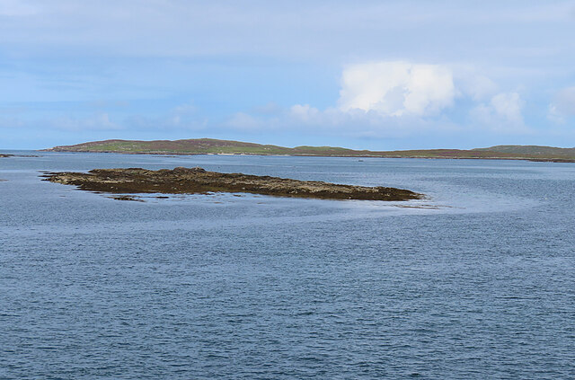
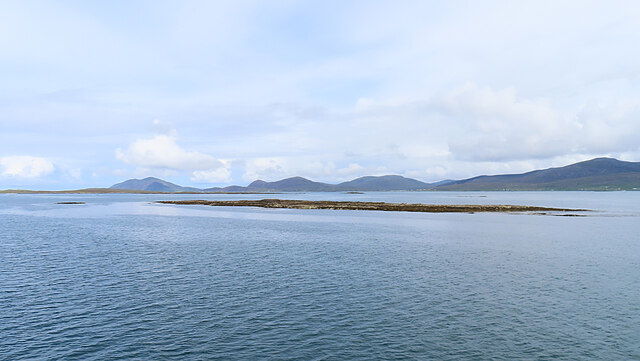
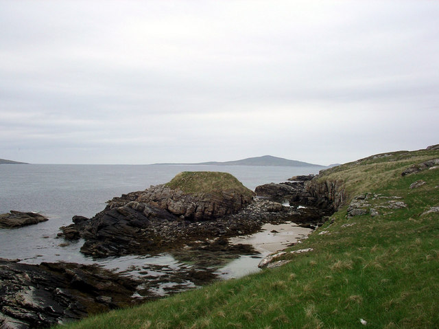
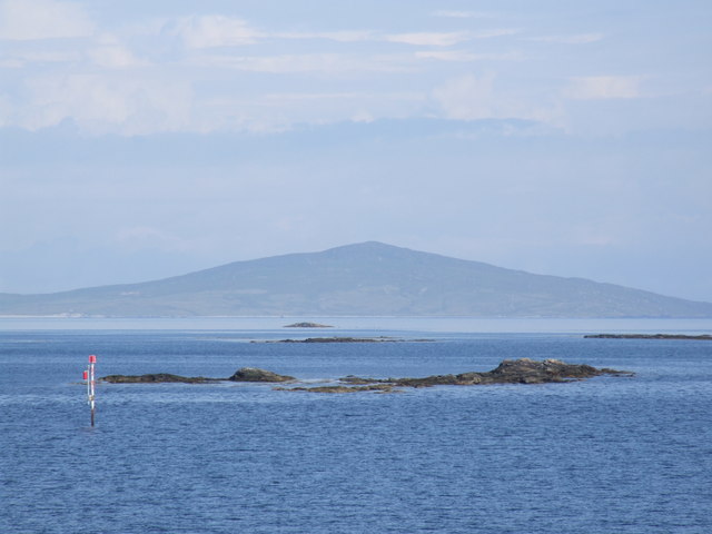
Bodha Breac is a prominent headland located in Inverness-shire, Scotland. Situated on the stunning coastline, it offers breathtaking panoramic views of the surrounding area. The headland juts out into the North Sea, providing a picturesque location for visitors and locals alike.

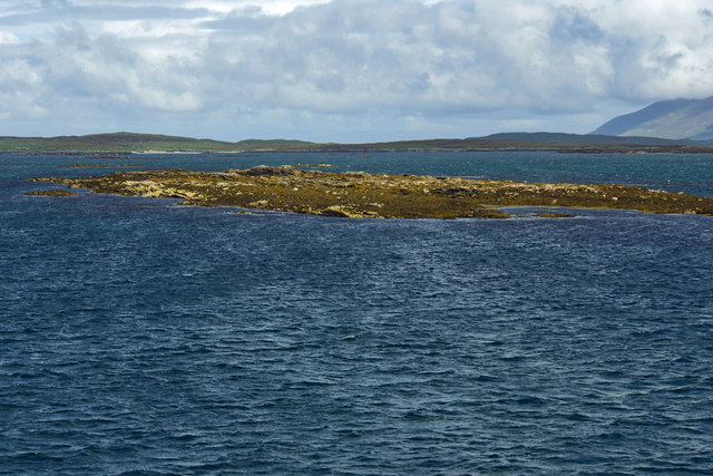
Characterized by its rugged cliffs and rocky terrain, Bodha Breac is an excellent example of a natural coastal feature. The headland is composed of various types of rock formations, including sandstone and granite, which have been shaped over time by the erosive forces of the sea. These geological features make it a popular spot for geologists and nature enthusiasts to explore.

The headland is also home to a diverse array of flora and fauna. The coastal vegetation includes hardy plants and grasses that are adapted to the harsh conditions and salt spray. Seabirds such as seagulls and cormorants can often be seen nesting on the sheer cliffs, while seals and dolphins can sometimes be spotted swimming in the waters below.

For outdoor enthusiasts, Bodha Breac offers a range of activities. The headland is a popular destination for hiking, with several trails leading to its summit, where visitors can enjoy breathtaking views of the surrounding coastline. Fishing opportunities are also abundant, with the headland providing access to a variety of fish species.

Overall, Bodha Breac is a stunning coastal feature in Inverness-shire, offering visitors a chance to experience the beauty of Scotland's rugged coastline, explore its geological wonders, and enjoy various outdoor activities.

If you have any feedback on the listing, please let us know in the comments section below.
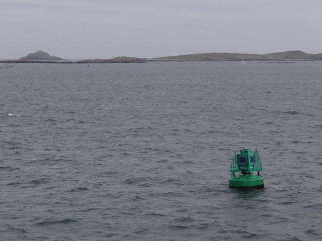
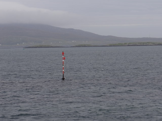
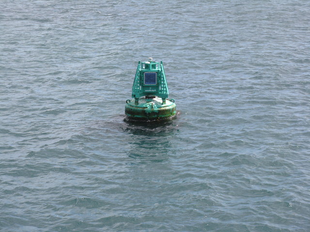
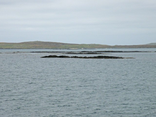
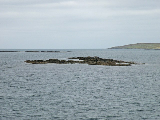
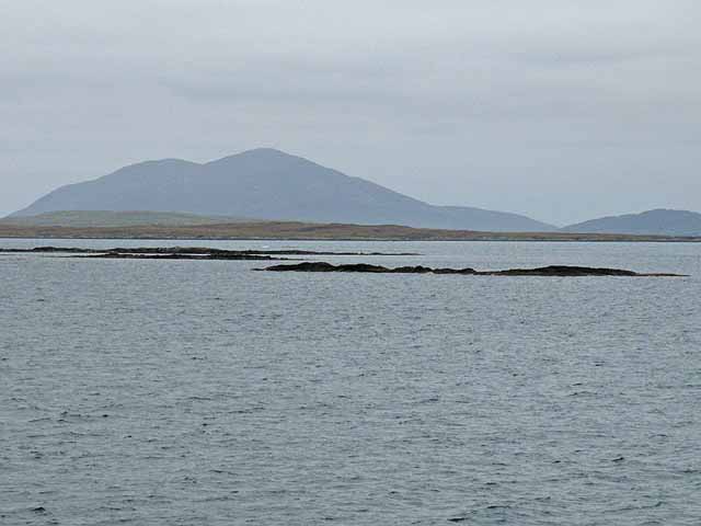
Bodha Breac Images

Images are sourced within 2km of 57.721349/-7.0745344 or Grid Reference NF9781. Thanks to Geograph Open Source API. All images are credited.

L1 Starboard Lateral Buoy This green buoy marks the first of the buoys leading to Leverburgh and is located in the area where the buoyage changes.  Now the green buoys are to starboard when previously, on leaving Berneray, the red buoys were to starboard.  The buoy emits two green flashes every five seconds at night.
L1 Starboard Lateral Buoy
This green buoy marks the first of the buoys leading to Leverburgh and is located in the area where the buoyage changes. Now the green buoys are to starboard when previously, on leaving Berneray, the red buoys were to starboard. The buoy emits two green flashes every five seconds at night.
Sgeir Chruaidh Port Channel Marker Red and white pole which emits a flashing red light every five seconds at night.
Sgeir Chruaidh Port Channel Marker
Red and white pole which emits a flashing red light every five seconds at night.
Buoy L1 off Sgeir Chruaidh In the Sound of Harris en route to Berneray.
Buoy L1 off Sgeir Chruaidh
In the Sound of Harris en route to Berneray.
Sgeir Chruaidh
Sgeir Chruaidh
Sgeir Chruaidh Sgeir Chruaidh is the skerry in the foreground. The distant island is Ceileagraigh (Killegray).
Sgeir Chruaidh
Sgeir Chruaidh is the skerry in the foreground. The distant island is Ceileagraigh (Killegray).
Sgeir Chruaidh Sgeir Chruaidh is a tidal skerry. In the background are the hills of South Harris.
Sgeir Chruaidh
Sgeir Chruaidh is a tidal skerry. In the background are the hills of South Harris.
Dunan Ruadh Dunan Ruadh on the isle of Killegray.
Dunan Ruadh
Dunan Ruadh on the isle of Killegray.
Marker post in Sound of Harris One of a number of marker posts in very treacherous and shallow waters.  The ferry route bears no relationship to the line drawn on the OS map, but is entirely dependent on the state of the tide and weather.
Marker post in Sound of Harris
One of a number of marker posts in very treacherous and shallow waters. The ferry route bears no relationship to the line drawn on the OS map, but is entirely dependent on the state of the tide and weather.
Tidal reefs in the Sound of Harris The nearest reef appears to be un-named. Beyond that lies Hachdla_sgeir and the long reef beyond that again is Langa Skeir <a href="https://www.geograph.org.uk/gridref/NF9881">NF9881</a>. The sizeable island in the background is Killegray <a href="https://www.geograph.org.uk/gridref/NF9783">NF9783</a>.
Tidal reefs in the Sound of Harris
The nearest reef appears to be un-named. Beyond that lies Hachdla_sgeir and the long reef beyond that again is Langa Skeir NF9881. The sizeable island in the background is Killegray NF9783.
Sgeir Chruaidh Tidal reef in the Sound of Harris. The ferry from Berneray to Leverburgh passes alarmingly close. Beyond is the reef of Langa Sgeir <a href="https://www.geograph.org.uk/gridref/NF9881">NF9881</a> with the island of Killegray <a href="https://www.geograph.org.uk/gridref/NF9783">NF9783</a> to the right.
Sgeir Chruaidh
Tidal reef in the Sound of Harris. The ferry from Berneray to Leverburgh passes alarmingly close. Beyond is the reef of Langa Sgeir NF9881 with the island of Killegray NF9783 to the right.
Skerries in the Sound of Harris The nearest reef appears to be un-named. Beyond that lies Hachdla-sgeir and the long reef beyond that again is Langa Skeir <a href="https://www.geograph.org.uk/gridref/NF9881">NF9881</a>. The sizeable island in the background is Killegray <a href="https://www.geograph.org.uk/gridref/NF9783">NF9783</a>. In the distance is the mountain of Ceapabhal <a href="https://www.geograph.org.uk/gridref/NF9792">NF9792</a> on the Isle of Harris.
Skerries in the Sound of Harris
The nearest reef appears to be un-named. Beyond that lies Hachdla-sgeir and the long reef beyond that again is Langa Skeir NF9881. The sizeable island in the background is Killegray NF9783. In the distance is the mountain of Ceapabhal NF9792 on the Isle of Harris.
Sgeir Chruaidh One of the innumerable skerries in the Sound of Harris. The ferry from Berneray to  Leverburgh goes through 27 courses changes in the course of the one-hour crossing to negotiate all the hazards of the passage. The island of Killegray <a href="https://www.geograph.org.uk/gridref/NF9783">NF9783</a> lies beyond with Ceapabhal <a href="https://www.geograph.org.uk/gridref/NF9792">NF9792</a> in the distance.
Sgeir Chruaidh
One of the innumerable skerries in the Sound of Harris. The ferry from Berneray to Leverburgh goes through 27 courses changes in the course of the one-hour crossing to negotiate all the hazards of the passage. The island of Killegray NF9783 lies beyond with Ceapabhal NF9792 in the distance.
Buoy L1, Sound of Harris According to the Northern Lighthouse Board, Buoy L1 is positioned at 57° 42.604' N 7° 3.205' W which equates to NF99148015 
It is an Inter-GLA Type 3 buoy which flashes twice green every 5 seconds (Fl (2) G 5s)
Buoy L1, Sound of Harris
According to the Northern Lighthouse Board, Buoy L1 is positioned at 57° 42.604' N 7° 3.205' W which equates to NF99148015 It is an Inter-GLA Type 3 buoy which flashes twice green every 5 seconds (Fl (2) G 5s)
Sgeir Chruaidh Cloud capped Harris hills lie beyond
Sgeir Chruaidh
Cloud capped Harris hills lie beyond
Sgeir Chruaidh Viewed from the Berneray to Leverburgh ferry.
Sgeir Chruaidh
Viewed from the Berneray to Leverburgh ferry.
Show me another place!

Bodha Breac is located at Grid Ref: NF9781 (Lat: 57.721349, Lng: -7.0745344)

Unitary Authority: Na h-Eileanan an Iar

Police Authority: Highlands and Islands

What 3 Words

///scavenger.skips.overheard. Near Leverburgh, Na h-Eileanan Siar

Nearby Locations

Caolaigh Bodha Breac

Related Wikis

Killegray

Killegray is an island in the Sound of Harris in the Outer Hebrides of Scotland. == Geography == Situated in the Sound of Harris, a channel of water between...

Sound of Harris

The Sound of Harris (Scottish Gaelic: Caolas na Hearadh) is a channel between the islands of Harris and North Uist in the Outer Hebrides of Scotland....

Sgarabhaigh

Sgarabhaigh (formerly anglicised Scaravay) is a small uninhabited island in the eastern end of the Sound of Harris, Outer Hebrides, Scotland. It is approximately...

Ensay (Outer Hebrides)

Ensay (Gaelic Easaigh) is a currently unpopulated and privately owned island in the Outer Hebrides of Scotland. The island lies in the Sound of Harris...

Have you been to Bodha Breac?

Leave your review of Bodha Breac below (or comments, questions and feedback).