Bayhead

Settlement in Inverness-shire

Scotland

Bayhead

Landscape of Harris
Landscape of Harris Credit: Ralph Greig

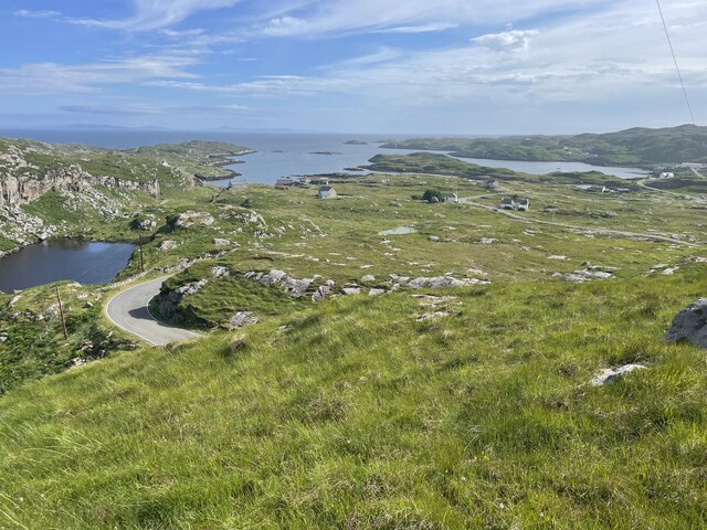
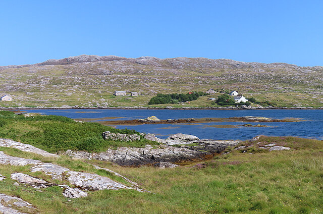
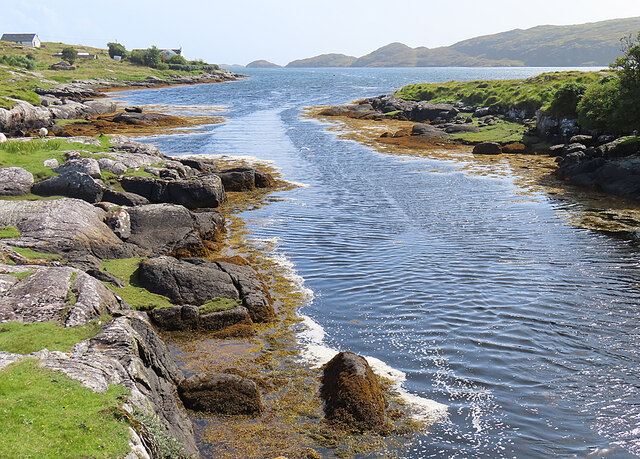
Bayhead is a small coastal village located in the picturesque Inverness-shire region of Scotland. Situated on the eastern shore of the Inner Moray Firth, it offers stunning views of the water and the surrounding countryside. With a population of around 500 residents, Bayhead exudes a charming and tranquil atmosphere.

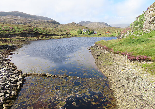
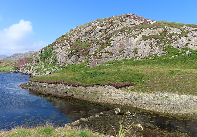
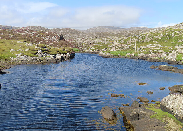
The village is known for its natural beauty, with pristine sandy beaches stretching along the coastline. These beaches are popular among both locals and tourists, offering opportunities for sunbathing, swimming, and beachcombing. The clear waters also attract avid anglers who come to try their luck at catching salmon or sea trout.

Bayhead is a haven for wildlife enthusiasts, with various species of birds, seals, and dolphins frequently spotted in the area. The nearby Moray Firth is home to a resident population of bottlenose dolphins, and visitors can often witness their playful antics from the shoreline.

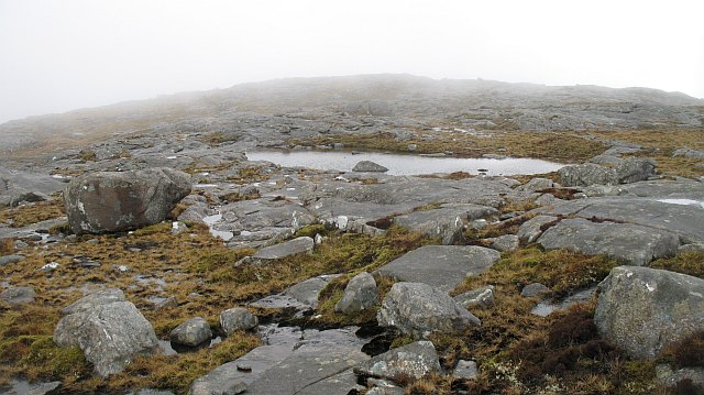
For those seeking outdoor adventures, the surrounding region provides ample opportunities. The village is nestled within the Cairngorms National Park, offering access to breathtaking hiking trails, cycling routes, and even skiing during the winter months. The nearby Loch Ness, famous for its legendary monster, is also easily accessible from Bayhead.

Despite its small size, Bayhead boasts a strong sense of community. The village has a primary school, a local pub, and a few small shops catering to residents' everyday needs. For more extensive amenities, the larger town of Inverness is just a short drive away.

Overall, Bayhead is a hidden gem in Inverness-shire, offering a perfect blend of natural beauty, outdoor activities, and a close-knit community.

If you have any feedback on the listing, please let us know in the comments section below.
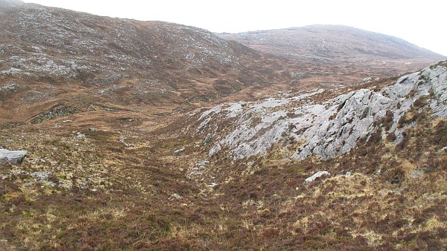
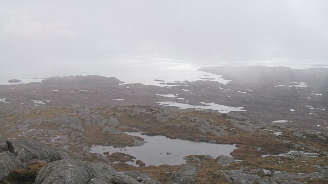
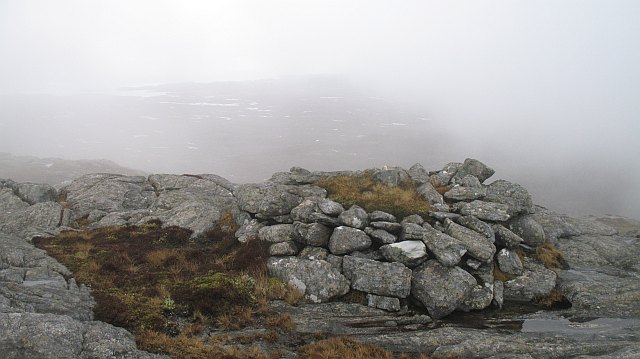
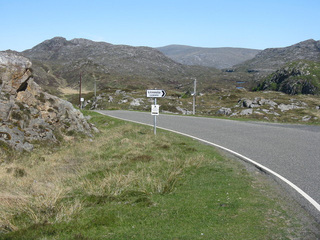
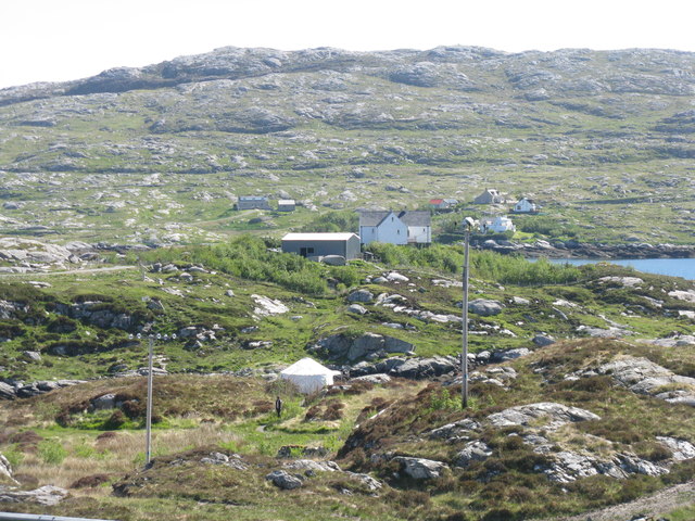
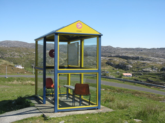
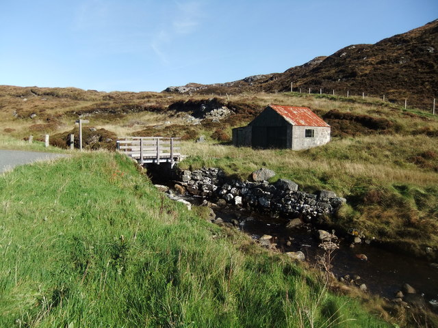
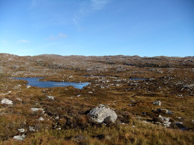
Bayhead Images

Images are sourced within 2km of 57.832838/-6.8706674 or Grid Reference NG1193. Thanks to Geograph Open Source API. All images are credited.

Landscape of Harris
Landscape of Harris
Bus Shelter The bus shelter is above the turning to Liceasto. I was pleasantly surprised to find a timetable suggesting that there are six buses a day from Roghadal via here to Tarbert.
Bus Shelter
The bus shelter is above the turning to Liceasto. I was pleasantly surprised to find a timetable suggesting that there are six buses a day from Roghadal via here to Tarbert.
Ceann a' Bhàigh Mhòr The name means 'head of the big bay'; the 'big bay' seems to be Loch Stockinish.
Ceann a' Bhàigh Mhòr
The name means 'head of the big bay'; the 'big bay' seems to be Loch Stockinish.
Ceann a' Bhàigh Mhòr The sea-loch in the foreground is the 'head of the big bay' but the rock face appears not to have a name of its own.
Ceann a' Bhàigh Mhòr
The sea-loch in the foreground is the 'head of the big bay' but the rock face appears not to have a name of its own.
Leac a' Li across Ob Liath Leac a' Li or Lackalee is on the shore of Loch Stockinish, and the head of the loch is Ob Liath, the 'grey bay'.
Leac a' Li across Ob Liath
Leac a' Li or Lackalee is on the shore of Loch Stockinish, and the head of the loch is Ob Liath, the 'grey bay'.
Unnamed Inlet The map suggests that this inlet dries at low tide. It opens into Ob Liath, and then into Loch Stocanais.
Unnamed Inlet
The map suggests that this inlet dries at low tide. It opens into Ob Liath, and then into Loch Stocanais.
Landlocked Inlet This inlet of the sea near Àird Mhìghe is almost completely landlocked.
Landlocked Inlet
This inlet of the sea near Àird Mhìghe is almost completely landlocked.
Ceann Reamhar na Sròine The summit area with pools trapped in the slabby rocks.
Ceann Reamhar na Sròine
The summit area with pools trapped in the slabby rocks.
West side of Ceann Reamhar na Sròine Looking down into Glen Dubhlinn from near the col between Ceann Reamhar na Sròine and Maoladh Mhicearraig.
West side of Ceann Reamhar na Sròine
Looking down into Glen Dubhlinn from near the col between Ceann Reamhar na Sròine and Maoladh Mhicearraig.
South ridge, Ceann Reamhar na Sròine Looking southwards from near the summit of Ceann Reamhar na Sròine. View over the Bays, the rugged, Labrador like east coast of Harris. Utterly barren; an area of peat, rock and many lochans.
South ridge, Ceann Reamhar na Sròine
Looking southwards from near the summit of Ceann Reamhar na Sròine. View over the Bays, the rugged, Labrador like east coast of Harris. Utterly barren; an area of peat, rock and many lochans.
Cairn, Ceann Reamhar na Sròine An old looking cairn, just south of the summit of Ceann Reamhar na Sròine. The mist is lifting revealing a barren rocky landscape which will be familiar to anyone who has flown over northern Canada.
Cairn, Ceann Reamhar na Sròine
An old looking cairn, just south of the summit of Ceann Reamhar na Sròine. The mist is lifting revealing a barren rocky landscape which will be familiar to anyone who has flown over northern Canada.
Ceann Reamhar na Sroine, Harris Dropped off by Jim Bloomer at new bridge to east to bag four HuMPs as I walked back to my B&B at Horgabost. Teashirt and sunshine, kept low until ridge was attained.

Name: Ceann Reamhar na Sroine
Hill number: 4959
Height: 355m / 1165ft
Area: 24B: Harris and Nearby Islands
Class: Hu
Grid ref: NG 09322 93051
Summit feature: rock
Drop: 104m
Col: 251m  NG089931
Ceann Reamhar na Sroine, Harris
Dropped off by Jim Bloomer at new bridge to east to bag four HuMPs as I walked back to my B&B at Horgabost. Teashirt and sunshine, kept low until ridge was attained. Name: Ceann Reamhar na Sroine Hill number: 4959 Height: 355m / 1165ft Area: 24B: Harris and Nearby Islands Class: Hu Grid ref: NG 09322 93051 Summit feature: rock Drop: 104m Col: 251m NG089931
The road to Liceasto/Lickisto One of several turnings off into the rocky landscape of the Golden Road area of Harris.
The road to Liceasto/Lickisto
One of several turnings off into the rocky landscape of the Golden Road area of Harris.
Lickisto and Ãird Mhìghe With a tent of Lickisto Blackhouse Camping in the dip in the foreground.
Lickisto and Ãird Mhìghe
With a tent of Lickisto Blackhouse Camping in the dip in the foreground.
Bus stop at Liceasto/Lickisto With facilities.
Bus stop at Liceasto/Lickisto
With facilities.
Lochan on Stoicleit an Iar
At Ceann a' Bhaigh
At Ceann a' Bhaigh
Loch Glumradh Mor
Loch Glumradh Mor
Show me another place!

Bayhead is located at Grid Ref: NG1193 (Lat: 57.832838, Lng: -6.8706674)

Unitary Authority: Na h-Eileanan an Iar

Police Authority: Highlands and Islands

Also known as: Ceann a Bhaigh

What 3 Words

///magazines.mandates.amplifier. Near Tarbert, Na h-Eileanan Siar

Related Wikis

Stockinish Island

Stockinish Island (Scottish Gaelic: Eilean Stocainis) is an uninhabited island off Harris, in the Outer Hebrides. == Geography and geology == Stockinish...

Luskentyre

Luskentyre (Scottish Gaelic: Losgaintir) is a sparse settlement on the west coast of Harris, in the Outer Hebrides, Scotland. Luskentyre is situated within...

Borsham

Borsham (Scottish Gaelic: Boirseam) is a village in the 'Bays' area of Harris in the Outer Hebrides, Scotland. Borsham is within the parish of Harris....

Borve, Harris

Borve (Scottish Gaelic: Na Buirgh) is a village in Harris in the Outer Hebrides, Scotland. Borve is also within the parish of Harris, and is on the A859...

Have you been to Bayhead?

Leave your review of Bayhead below (or comments, questions and feedback).