Lionar Sgeire

Coastal Feature, Headland, Point in Argyllshire

Scotland

Lionar Sgeire

Road junction, Balevullin
Road junction, Balevullin Credit: Richard Webb

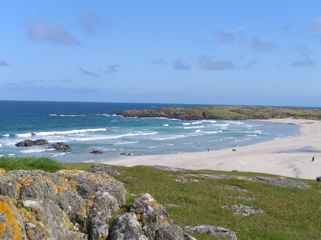
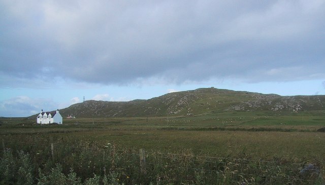
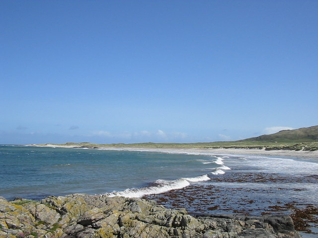
Lionar Sgeire is a prominent coastal feature located in Argyllshire, Scotland. This headland, also known as a point, is nestled along the rugged and picturesque coastline of the region. Lionar Sgeire is a captivating natural formation that offers stunning panoramic views of the surrounding landscape.

The headland is characterized by its towering cliffs that rise dramatically from the sea, creating a striking and imposing sight. These cliffs are composed of ancient rocks, which have been shaped by centuries of erosion from the relentless waves. The jagged and rugged nature of Lionar Sgeire gives it a unique and awe-inspiring appearance.

At the tip of the headland, visitors can often observe a diverse range of seabirds nesting and soaring above the crashing waves. The area is home to various species, including gulls, puffins, and guillemots, making it a popular spot for birdwatchers and nature enthusiasts.

Lionar Sgeire is also known for its rich marine life. The surrounding waters are teeming with a variety of fish, seals, and occasionally, dolphins. The headland provides an ideal vantage point for observing these creatures in their natural habitat.

For those seeking outdoor adventures, Lionar Sgeire offers excellent opportunities for hiking and exploration. There are well-maintained trails that wind through the headland, allowing visitors to appreciate its natural beauty up close. It is important to note that caution should be exercised when exploring Lionar Sgeire due to the steep cliffs and unpredictable coastal conditions.

Overall, Lionar Sgeire is a captivating coastal feature that showcases the raw power of nature. Its towering cliffs, diverse wildlife, and breathtaking views make it a must-visit destination for anyone exploring the enchanting landscape of Argyllshire.

If you have any feedback on the listing, please let us know in the comments section below.

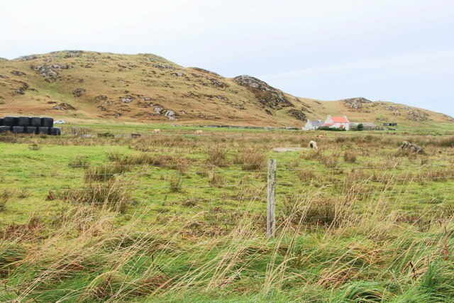
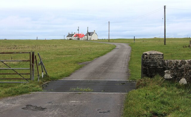
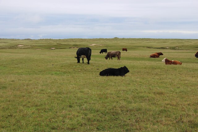
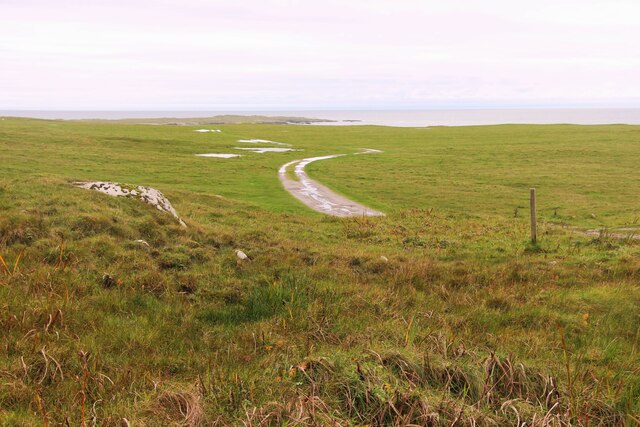
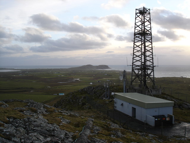
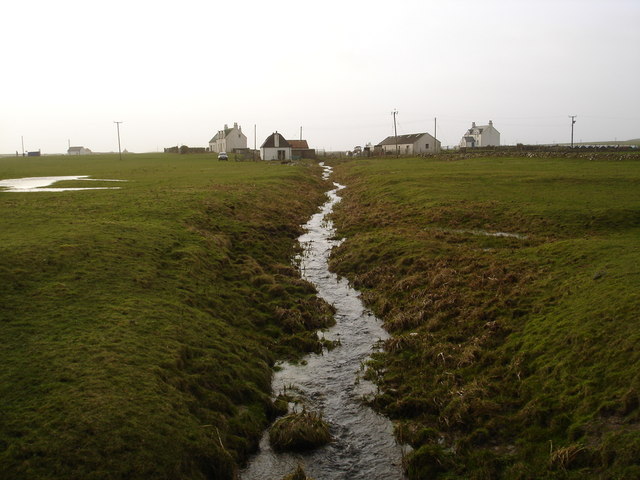
Lionar Sgeire Images

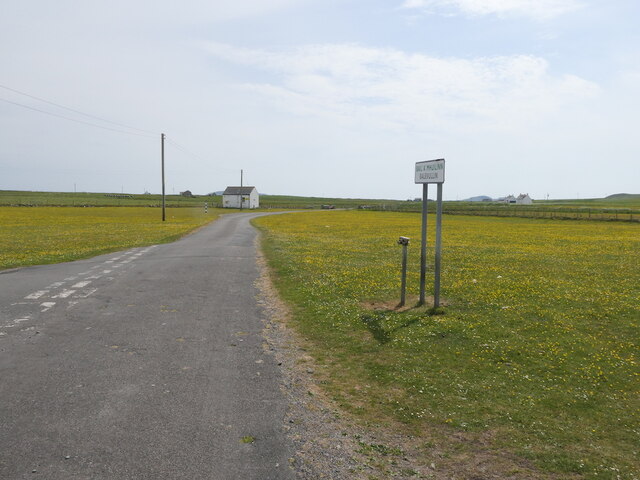
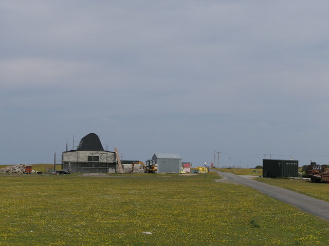
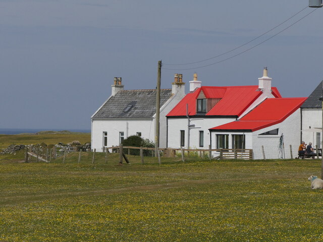
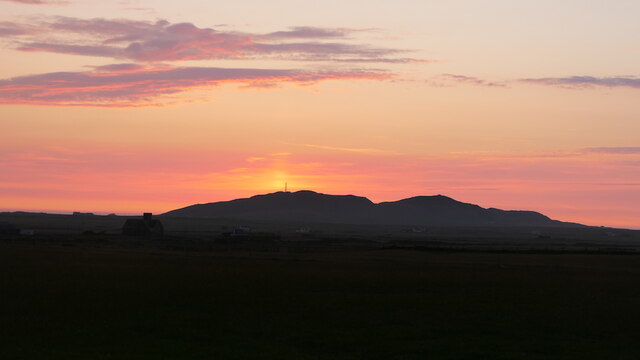
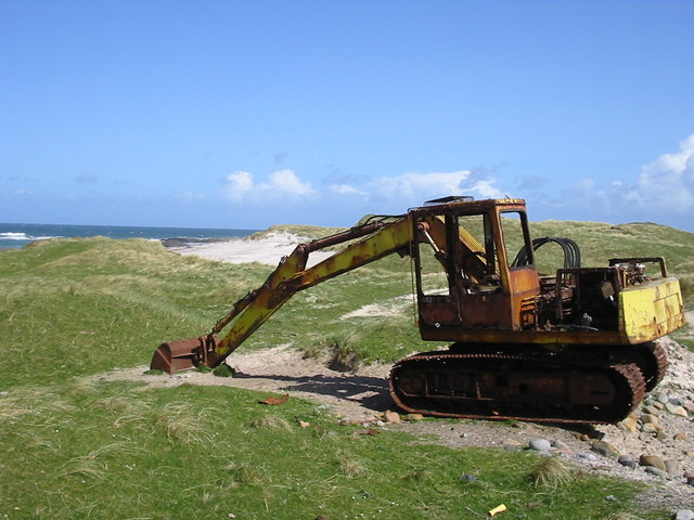
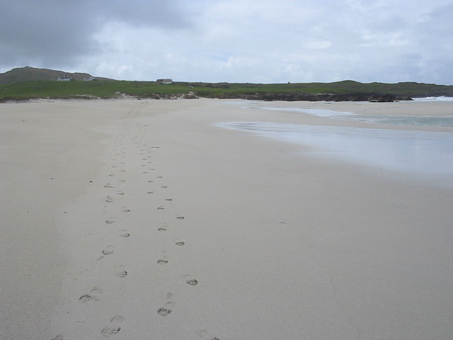
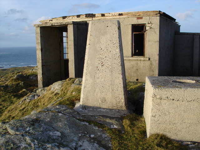
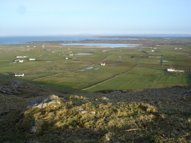
Images are sourced within 2km of 56.519705/-6.9710622 or Grid Reference NL9447. Thanks to Geograph Open Source API. All images are credited.

Road junction, Balevullin
Construction, Balevulin Renovation and extension of a cottage with a traditional Tiree roof.
Construction, Balevulin
Renovation and extension of a cottage with a traditional Tiree roof.
Balevullin
Balevullin
Sun pillar, Beinn Hough Taken after 11pm looking not far off north.
Sun pillar, Beinn Hough
Taken after 11pm looking not far off north.
Hough, a farm below Beinn Hough
Cattle grid at Sràid Ruadh
Cattle grazing at Sràid Ruadh
Track across the machair to Traigh Hough
Traigh Bail, Tiree
Traigh Bail, Tiree
Ben Hough WWII Chain Home Low radar station on right hand peak and CAA radio station on left hand peak
Ben Hough
WWII Chain Home Low radar station on right hand peak and CAA radio station on left hand peak
Hough Bay and Traigh Hough, Tiree (with late 20th. cent. artefact) And the locals complain about the impact of tourism! Presumably, this is one that got away, from The Turner Art Gallery!
Hough Bay and Traigh Hough, Tiree (with late 20th. cent. artefact)
And the locals complain about the impact of tourism! Presumably, this is one that got away, from The Turner Art Gallery!
Hough Bay
Hough Bay
Digger on the dunes
Digger on the dunes
Footsteps on Traigh Bail' a Mhuilinn
Triangulation Pillar on Beinn Hough Behind the triangularion pillar is the remains of a WWII radar station.  A series of steps to the top of the hill were made for access to the station.
Triangulation Pillar on Beinn Hough
Behind the triangularion pillar is the remains of a WWII radar station. A series of steps to the top of the hill were made for access to the station.
View over Loch Bhasapoll from Beinn Hough You can see the whole island from the excellent viewpoint.
View over Loch Bhasapoll from Beinn Hough
You can see the whole island from the excellent viewpoint.
Mast on Cnoc an Fhithich View in the distance of Ceann a' Mhara
Mast on Cnoc an Fhithich
View in the distance of Ceann a' Mhara
Abhainn Bhain Looking towards Balevullin.
Abhainn Bhain
Looking towards Balevullin.
Show me another place!

Lionar Sgeire is located at Grid Ref: NL9447 (Lat: 56.519705, Lng: -6.9710622)

Unitary Authority: Argyll and Bute

Police Authority: Argyll and West Dunbartonshire

What 3 Words

///hers.apprehend.pinging. Near Scarinish, Argyll & Bute

Related Wikis

Tiree Airport

Tiree Airport (Scottish Gaelic: Port-adhair Thiriodh) (IATA: TRE, ICAO: EGPU) is located 2.5 nautical miles (4.6 km; 2.9 mi) north northeast of Balemartine...

Tiree Music Festival

Tiree Music Festival is a Scottish folk music festival held annually on the Island of Tiree in the Inner Hebrides. The festival was founded in 2010 by...

Mannal

Mannal is a coastal hamlet on the west side of Hynish Bay, on the island of Tiree, Scotland. The township of Mannal lies on the southwest corner of Tiree...

Tiree

Tiree (; Scottish Gaelic: Tiriodh, pronounced [ˈtʲʰiɾʲəɣ]) is the most westerly island in the Inner Hebrides of Scotland. The low-lying island, southwest...

Nearby Amenities

Located within 500m of 56.519705,-6.9710622
Created By: dmgroom_coastlines
Source: PGS
Lat/Long: 56.51686/-6.97689
Created By: dmgroom_coastlines
Source: PGS
Lat/Long: 56.5171/-6.97595
Created By: dmgroom_coastlines
Source: PGS
Lat/Long: 56.51734/-6.97502
Created By: dmgroom_coastlines
Source: PGS
Lat/Long: 56.51733/-6.97408
Created By: dmgroom_coastlines
Source: PGS
Lat/Long: 56.51731/-6.97316
Created By: dmgroom_coastlines
Source: PGS
Lat/Long: 56.51741/-6.9713
Created By: dmgroom_coastlines
Source: PGS
Lat/Long: 56.51766/-6.97106
Created By: dmgroom_coastlines
Source: PGS
Lat/Long: 56.51816/-6.97057
Created By: dmgroom_coastlines
Source: PGS
Lat/Long: 56.51944/-6.97049
Created By: dmgroom_coastlines
Source: PGS
Lat/Long: 56.5197/-6.97071
Created By: dmgroom_coastlines
Source: PGS
Lat/Long: 56.51982/-6.97024
Created By: dmgroom_coastlines
Source: PGS
Lat/Long: 56.52006/-6.9693
Created By: dmgroom_coastlines
Source: PGS
Lat/Long: 56.52031/-6.96883
Created By: dmgroom_coastlines
Source: PGS
Lat/Long: 56.52042/-6.9679
Created By: dmgroom_coastlines
Source: PGS
Lat/Long: 56.52094/-6.96787
Created By: dmgroom_coastlines
Source: PGS
Lat/Long: 56.5208/-6.96741
Created By: dmgroom_coastlines
Source: PGS
Lat/Long: 56.52066/-6.96696
Created By: dmgroom_coastlines
Source: PGS
Lat/Long: 56.52143/-6.96691
Created By: dmgroom_coastlines
Source: PGS
Lat/Long: 56.52153/-6.96506
Created By: dmgroom_coastlines
Source: PGS
Lat/Long: 56.52165/-6.96459
Created By: dmgroom_coastlines
Source: PGS
Lat/Long: 56.52114/-6.96461
Created By: dmgroom_coastlines
Source: PGS
Lat/Long: 56.52126/-6.96368
Carrastaoin
Place: locality
Lat/Long: 56.5170741/-6.9683035
The data included in this document is from www.openstreetmap.org. The data is made available under ODbL.

Have you been to Lionar Sgeire?

Leave your review of Lionar Sgeire below (or comments, questions and feedback).