An Atha Mhòr
Coastal Feature, Headland, Point in Argyllshire
Scotland
An Atha Mhòr
Located in Argyllshire, Scotland, An Atha Mhòr is a prominent headland and coastal feature that juts out into the Atlantic Ocean. Also known as the Point of Ardnamurchan, it is situated at the westernmost tip of the Ardnamurchan Peninsula, marking the dividing line between the Sound of Mull and the Sound of Ardnamurchan.
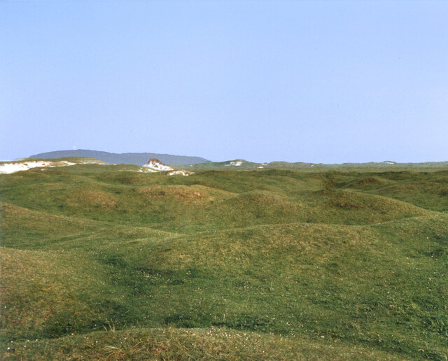
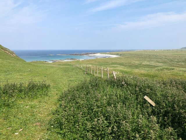
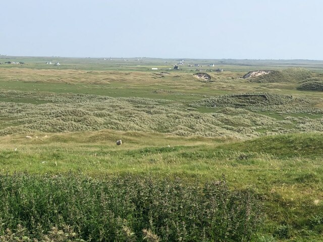
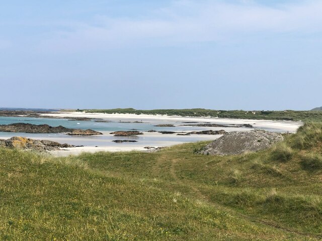
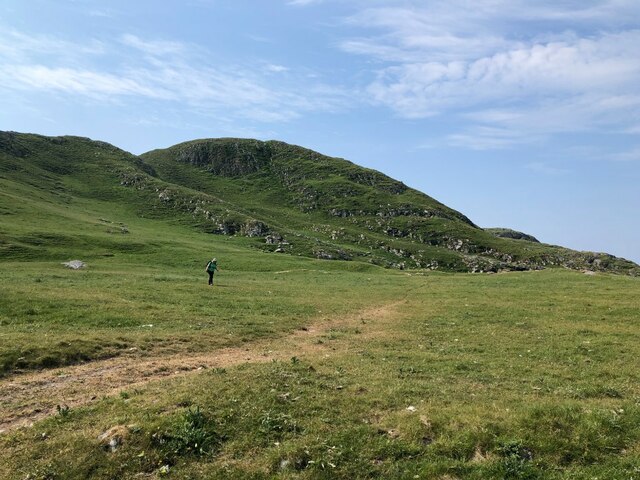
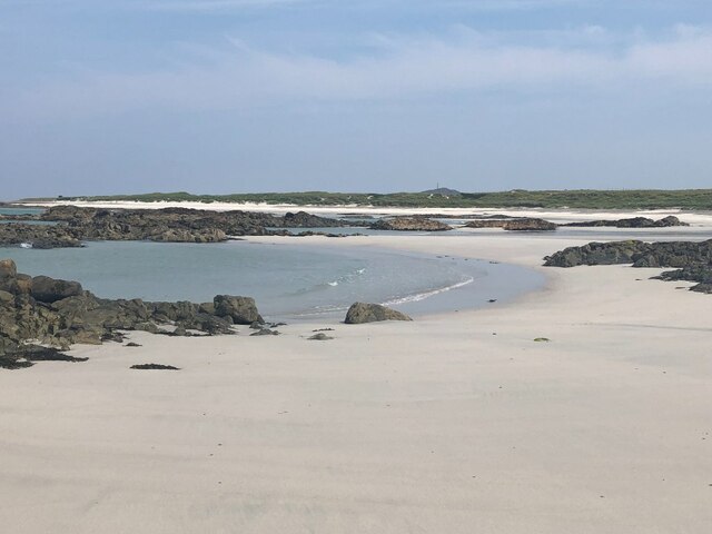
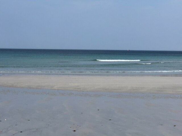
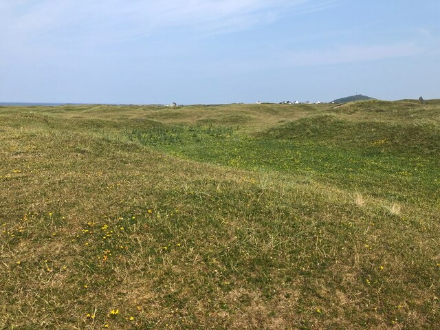
An Atha Mhòr is characterized by its rugged and rocky terrain, with steep cliffs rising up from the water below. The headland offers stunning panoramic views of the surrounding seascape, including the neighboring islands of Mull, Coll, and Tiree. Its remote and untouched beauty attracts nature enthusiasts and photographers alike.
The area surrounding An Atha Mhòr is rich in biodiversity, with numerous species of seabirds, marine mammals, and coastal flora. Visitors may spot puffins, seals, dolphins, and even the occasional whale from the vantage points along the headland.
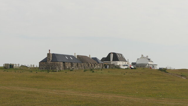
Access to An Atha Mhòr is primarily by road, with a single-track route leading to the headland. The journey itself offers picturesque views of the Scottish Highlands and the chance to spot wildlife along the way. Once at the headland, visitors can explore the rugged coastline, hike along the cliff paths, or simply relax and take in the breathtaking scenery.
An Atha Mhòr is not only a natural wonder but also holds historical significance. The area is home to several ancient archaeological sites, including a Viking burial ground and a medieval castle ruin. These remnants of the past add an extra layer of intrigue to the already captivating landscape.
Overall, An Atha Mhòr is a must-visit destination for those seeking unspoiled natural beauty, wildlife encounters, and a glimpse into Scotland's rich history.
If you have any feedback on the listing, please let us know in the comments section below.
An Atha Mhòr Images
Images are sourced within 2km of 56.477455/-6.9844652 or Grid Reference NL9342. Thanks to Geograph Open Source API. All images are credited.


An Atha Mhòr is located at Grid Ref: NL9342 (Lat: 56.477455, Lng: -6.9844652)
Unitary Authority: Argyll and Bute
Police Authority: Argyll and West Dunbartonshire
What 3 Words
///trickled.slate.powder. Near Scarinish, Argyll & Bute
Nearby Locations
Related Wikis

Mannal
Mannal is a coastal hamlet on the west side of Hynish Bay, on the island of Tiree, Scotland. The township of Mannal lies on the southwest corner of Tiree...

Tiree Music Festival
Tiree Music Festival is a Scottish folk music festival held annually on the Island of Tiree in the Inner Hebrides. The festival was founded in 2010 by...

Tiree Airport
Tiree Airport (Scottish Gaelic: Port-adhair Thiriodh) (IATA: TRE, ICAO: EGPU) is located 2.5 nautical miles (4.6 km; 2.9 mi) north northeast of Balemartine...
Have you been to An Atha Mhòr?
Leave your review of An Atha Mhòr below (or comments, questions and feedback).