Àird a' Bhaile
Coastal Feature, Headland, Point in Inverness-shire
Scotland
Àird a' Bhaile

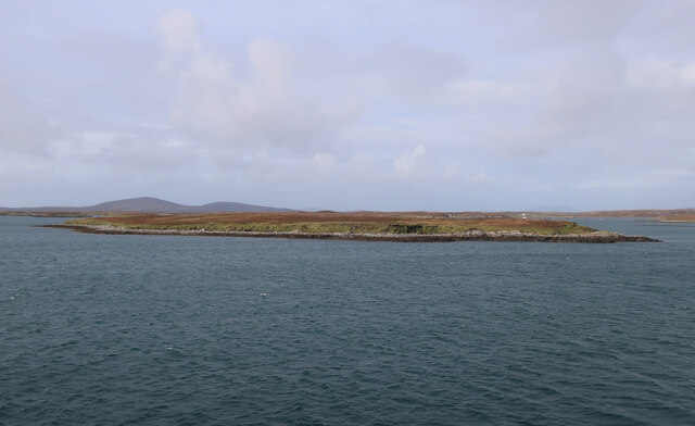
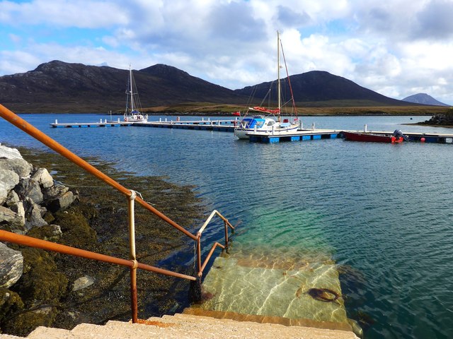
Àird a' Bhaile is a prominent coastal feature located in Inverness-shire, Scotland. It is a headland that juts out into the sea, forming a point that offers breathtaking views of the surrounding area. The name Àird a' Bhaile translates to "the headland of the village" in English.
Situated on the northern coast of Inverness-shire, Àird a' Bhaile is known for its rugged and dramatic landscape. The headland is characterized by towering cliffs that overlook the tumultuous waters of the North Sea. The cliffs are composed of various rock formations, including sandstone and shale, which have been shaped over centuries by the relentless waves and winds.
The point of Àird a' Bhaile is a popular destination for nature enthusiasts and photographers due to its stunning vistas. Visitors can witness the power and beauty of the sea as it crashes against the cliffs, creating a spectacle of spray and foam. The headland also provides an excellent vantage point for observing marine life, such as seals and seabirds, which frequent the area.
In addition to its natural beauty, Àird a' Bhaile holds historical significance. The headland is believed to have been inhabited since ancient times, with archaeological evidence suggesting human presence dating back thousands of years. Ruins of ancient settlements and structures can still be found in the vicinity, adding an element of mystery and intrigue to the site.
Overall, Àird a' Bhaile is a captivating and picturesque headland that showcases the raw power and beauty of Scotland's coastal landscape. Its combination of dramatic cliffs, panoramic views, and historical significance make it a must-visit destination for those exploring Inverness-shire.
If you have any feedback on the listing, please let us know in the comments section below.
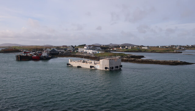
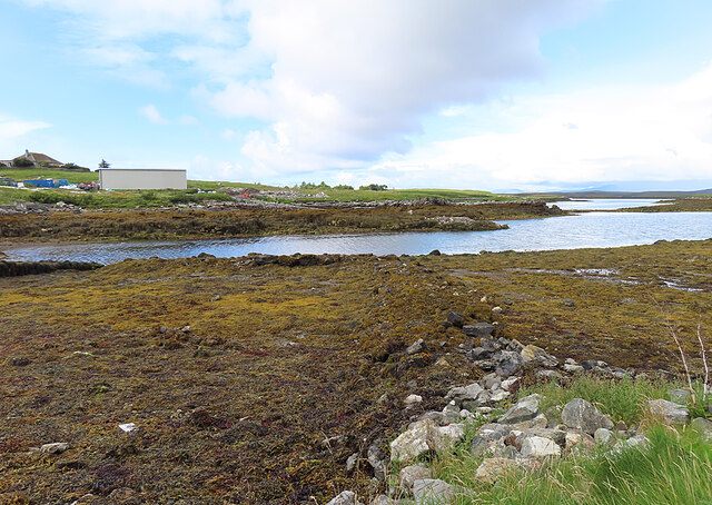
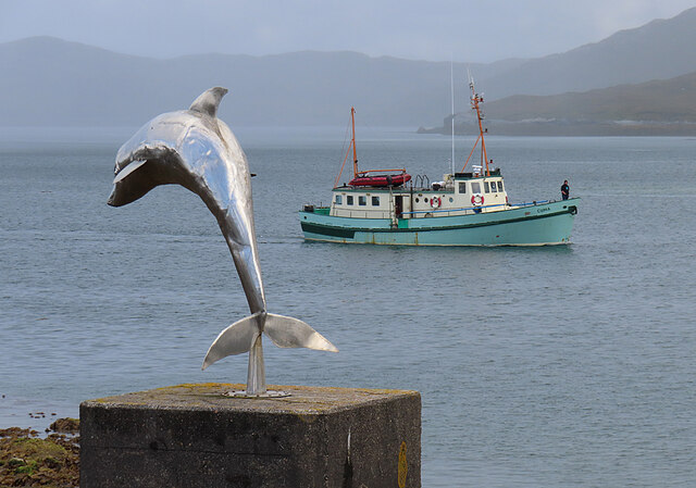
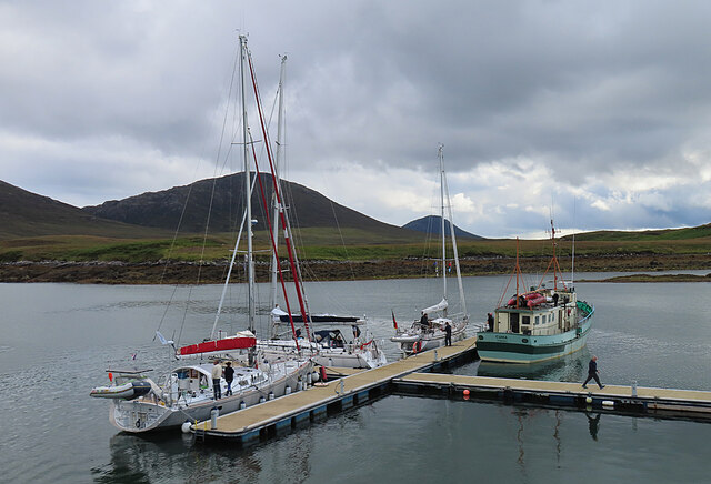
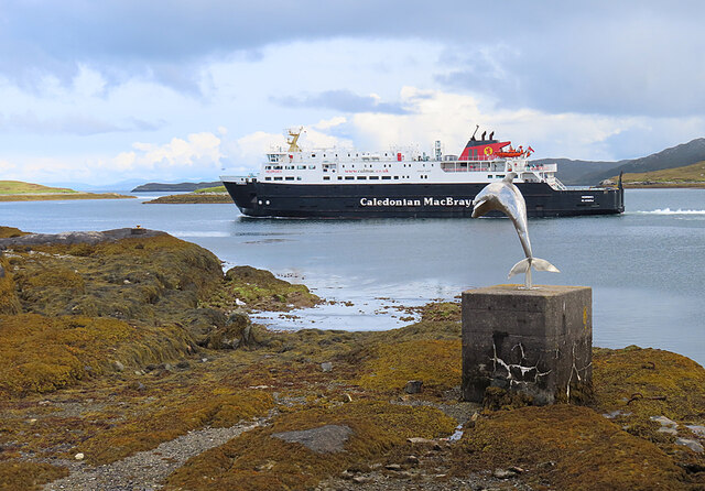
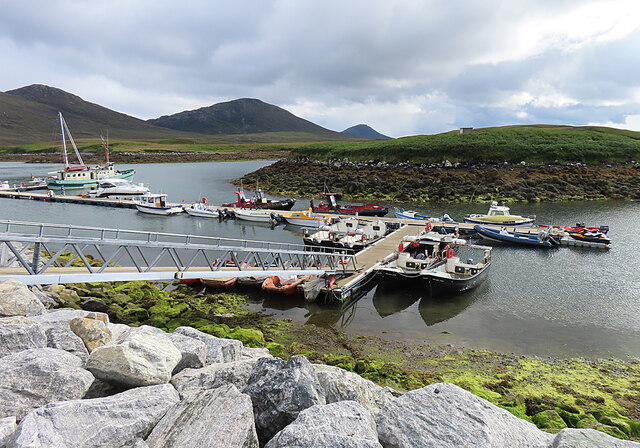
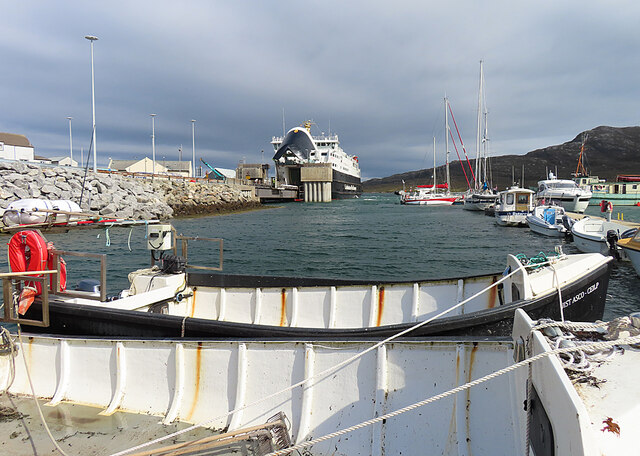
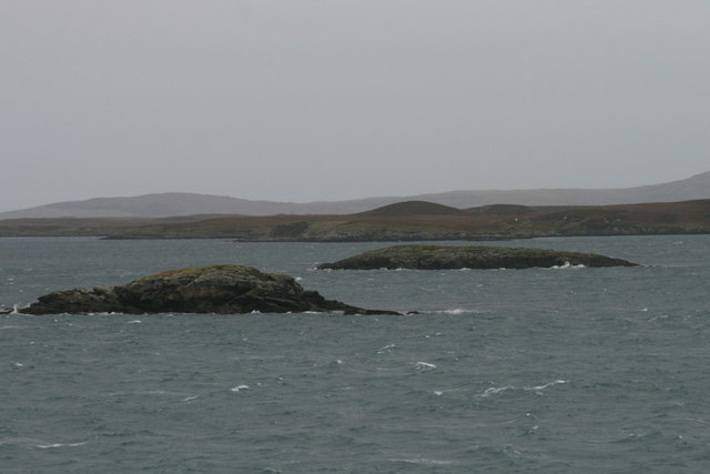
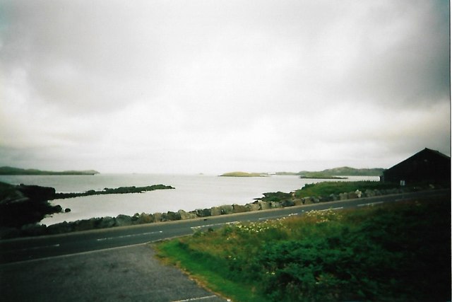
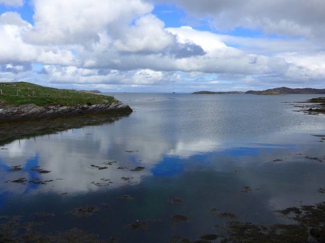
Àird a' Bhaile Images
Images are sourced within 2km of 57.597015/-7.1543405 or Grid Reference NF9268. Thanks to Geograph Open Source API. All images are credited.


Àird a' Bhaile is located at Grid Ref: NF9268 (Lat: 57.597015, Lng: -7.1543405)
Unitary Authority: Na h-Eileanan an Iar
Police Authority: Highlands and Islands
What 3 Words
///tungsten.dabbing.sunshine. Near Lochmaddy, Na h-Eileanan Siar
Nearby Locations
Related Wikis

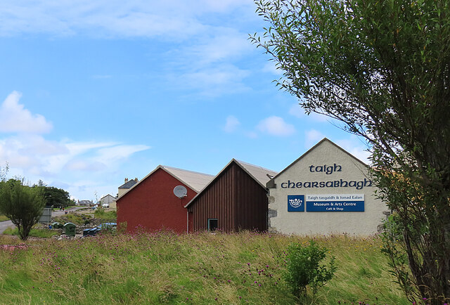
Taigh Chearsabhagh
Taigh Chearsabhagh is an arts centre and museum in Lochmaddy on the island of North Uist, Scotland.Taigh Chearsabhagh was built in 1741 and originally...

Lochmaddy
Lochmaddy (Scottish Gaelic: Loch nam Madadh [l̪ˠɔx nə ˈmat̪əɣ], "Loch of the Hounds") is the administrative centre of North Uist in the Outer Hebrides...

Ceallasaigh Beag
Ceallasaigh Beag (or Keallasay Beg) is a low-lying island in Loch Maddy off North Uist in the Outer Hebrides of Scotland. This an area of shallow lagoons...

Weavers Point
Weavers Point (Scottish Gaelic: Rubha an Fhigheadair) is a headland to the north of the entrance to Loch Maddy, on the north eastern coastline of North...
Nearby Amenities
Located within 500m of 57.597015,-7.1543405Have you been to Àird a' Bhaile?
Leave your review of Àird a' Bhaile below (or comments, questions and feedback).