Aileodair

Coastal Feature, Headland, Point in Inverness-shire

Scotland

Aileodair

Loch na Leacaich Shoreline A view along the shoreline of Loch na Leacaich, with the peaked hill of Crogearraidh Mor is the far distance.
Loch na Leacaich Shoreline Credit: G Kilpatrick

Aileodair is a prominent coastal feature located in Inverness-shire, Scotland. It is a headland or point that juts out into the North Sea, offering stunning views of the surrounding landscape and ocean. It is situated on the eastern coast of Scotland, approximately 20 miles northeast of Inverness.

Aileodair is known for its rugged and dramatic cliffs that rise up from the rocky shoreline. These cliffs provide a nesting site for various seabird species, including puffins, gannets, and guillemots. The area is a designated nature reserve, attracting nature enthusiasts and birdwatchers from around the world.

The headland is rich in geological diversity, with layers of sedimentary rocks that date back millions of years. Fossils can often be found embedded in the rocks, offering a glimpse into the ancient history of the area.

Visitors to Aileodair can enjoy scenic walks along the coastal path that runs along the edge of the headland. The path offers panoramic views of the sea, with opportunities to spot marine wildlife such as seals and dolphins. On a clear day, the distant mountains of the Scottish Highlands can be seen in the background, creating a picturesque backdrop.

Aileodair is easily accessible by car, with a small parking area available nearby. The headland is a popular spot for photography, as the changing light and weather conditions offer unique opportunities for capturing stunning images. Overall, Aileodair is a must-visit destination for those seeking natural beauty and tranquility along the Scottish coastline.

If you have any feedback on the listing, please let us know in the comments section below.

Aileodair Images

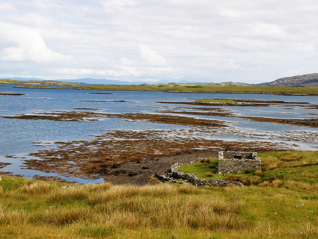
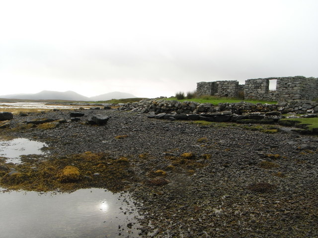
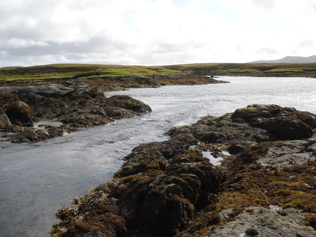
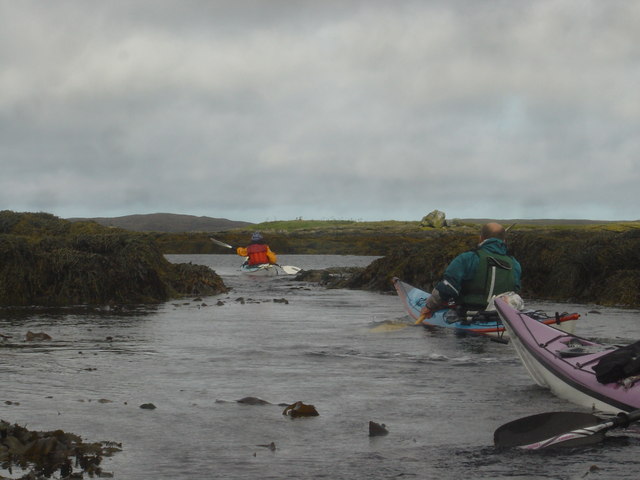
Images are sourced within 2km of 57.63719/-7.2130479 or Grid Reference NF8972. Thanks to Geograph Open Source API. All images are credited.
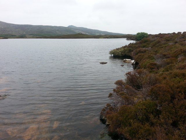
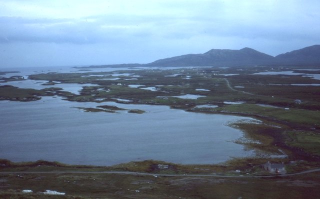
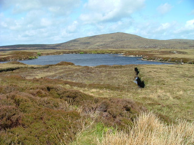
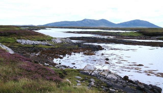
Loch na Leacaich Shoreline A view along the shoreline of Loch na Leacaich, with the peaked hill of Crogearraidh Mor is the far distance.
Loch na Leacaich Shoreline
A view along the shoreline of Loch na Leacaich, with the peaked hill of Crogearraidh Mor is the far distance.
Blathaisbhal stone row A stone row composed of three stones. Like most rows it is far from straight (Scale 1m).
<span class="nowrap"><a title="https://stonerows.wordpress.com/gazetteer/region/western-isles/blashaval/" rel="nofollow ugc noopener" href="https://stonerows.wordpress.com/gazetteer/region/western-isles/blashaval/">Link</a><img style="margin-left:2px;" alt="External link" title="External link - shift click to open in new window" src="https://s1.geograph.org.uk/img/external.png" width="10" height="10"/></span>
Blathaisbhal stone row
A stone row composed of three stones. Like most rows it is far from straight (Scale 1m). LinkExternal link
View towards Loch an Duin The distant water translates as the Loch of the Dun, with the remains of Dun Torcuill in the middle distance [centre of photo]. The convoluted outline of the loch includes two other dun sites, both well out of sight from this point by the road.
View towards Loch an Duin
The distant water translates as the Loch of the Dun, with the remains of Dun Torcuill in the middle distance [centre of photo]. The convoluted outline of the loch includes two other dun sites, both well out of sight from this point by the road.
Loch Dheoir Loch Dheoir is the name given to this area of salt water where a maze of channels eventually connect with the open sea close to Lochmaddy.
Loch Dheoir
Loch Dheoir is the name given to this area of salt water where a maze of channels eventually connect with the open sea close to Lochmaddy.
Dun Torcuill A view from an adjoining square towards this iron age broch in Loch an Duin. The walls are said to be up to 4m thick and 3m high, but approach on land is very difficult.
Dun Torcuill
A view from an adjoining square towards this iron age broch in Loch an Duin. The walls are said to be up to 4m thick and 3m high, but approach on land is very difficult.
Loch Blathaisbhal View from Blathaisbhal towards Lochmaddy.
Loch Blathaisbhal
View from Blathaisbhal towards Lochmaddy.
On Blathaisbhal A fine appreciation of the mix of land and water that is North Uist.   I always think of North Uist as a reverse of the Stockholm Archipelago - more land than water, just rather than the other way around.
On Blathaisbhal
A fine appreciation of the mix of land and water that is North Uist. I always think of North Uist as a reverse of the Stockholm Archipelago - more land than water, just rather than the other way around.
A865 below Blathaisbhal
Airigh Nan Luchag shieling A ruined shieling (Scale 1m). <span class="nowrap"><a title="https://canmore.org.uk/site/123341/north-uist-airigh-nan-luchag" rel="nofollow ugc noopener" href="https://canmore.org.uk/site/123341/north-uist-airigh-nan-luchag">Link</a><img style="margin-left:2px;" alt="External link" title="External link - shift click to open in new window" src="https://s1.geograph.org.uk/img/external.png" width="10" height="10"/></span>
Airigh Nan Luchag shieling
A ruined shieling (Scale 1m). LinkExternal link
Airigh Nan Luchag shieling Shielings are often difficult to spot but this one comes with its own signpost. <span class="nowrap"><a title="https://canmore.org.uk/site/123341/north-uist-airigh-nan-luchag" rel="nofollow ugc noopener" href="https://canmore.org.uk/site/123341/north-uist-airigh-nan-luchag">Link</a><img style="margin-left:2px;" alt="External link" title="External link - shift click to open in new window" src="https://s1.geograph.org.uk/img/external.png" width="10" height="10"/></span>
Airigh Nan Luchag shieling
Shielings are often difficult to spot but this one comes with its own signpost. LinkExternal link
Sea loch at Aileodair View from the loch side picnic area.
Sea loch at Aileodair
View from the loch side picnic area.
Cama Lochan Beinn Mhor in the background.
Cama Lochan
Beinn Mhor in the background.
Loch Blathaisbhal In the distance on the left can be seen Crogearraidh na Thabha rising to 154m
Loch Blathaisbhal
In the distance on the left can be seen Crogearraidh na Thabha rising to 154m
Loch Blathaisbhal A ruined house stands on the shore and in the distance can be seen the hills of Skye
Loch Blathaisbhal
A ruined house stands on the shore and in the distance can be seen the hills of Skye
Ruins of a croft house on the shore of Loch Blathaisbhal
Tidal rapid draining Loch Dheoir Behind Lochmaddy is an area of shallow lagoons filled and drained by the tides each day. Where the tide runs between the rocks, tidal rapids are formed like this one in a narrows which drains Loch Dheoir towards Loch Blathaisbhal during the ebb.
Tidal rapid draining Loch Dheoir
Behind Lochmaddy is an area of shallow lagoons filled and drained by the tides each day. Where the tide runs between the rocks, tidal rapids are formed like this one in a narrows which drains Loch Dheoir towards Loch Blathaisbhal during the ebb.
Paddling hard to ascend tidal rapid in Loch Blathaisbhal The Lochs behind Lochmaddy are tidal lagoons, connected by narrow channels. As the ebb tide drains the upper lochs, tidal rapids form, opposing progress by sea kayakers. There are three channels up from Loch Blathaisbhal towards the northwest, of which this was the narrowest, shallowest but least fast-flowing, so with a bit of a struggle we managed to paddle up this one. Had we managed to coincide our trip with the flood, we would have been helped on our way, and could have used to ebb to speed us on the way back.
Paddling hard to ascend tidal rapid in Loch Blathaisbhal
The Lochs behind Lochmaddy are tidal lagoons, connected by narrow channels. As the ebb tide drains the upper lochs, tidal rapids form, opposing progress by sea kayakers. There are three channels up from Loch Blathaisbhal towards the northwest, of which this was the narrowest, shallowest but least fast-flowing, so with a bit of a struggle we managed to paddle up this one. Had we managed to coincide our trip with the flood, we would have been helped on our way, and could have used to ebb to speed us on the way back.
A corner of Loch Dheoir Loch Dheoir has an intricate shoreline with many tiny bays and inlets. Looking towards the hills beyond Lochmaddy.
A corner of Loch Dheoir
Loch Dheoir has an intricate shoreline with many tiny bays and inlets. Looking towards the hills beyond Lochmaddy.
Show me another place!

Aileodair is located at Grid Ref: NF8972 (Lat: 57.63719, Lng: -7.2130479)

Unitary Authority: Na h-Eileanan an Iar

Police Authority: Highlands and Islands

What 3 Words

///flip.talker.trump. Near Lochmaddy, Na h-Eileanan Siar

Nearby Locations

Orasaigh Aileodair

Related Wikis

Nearby Amenities

Located within 500m of 57.63719,-7.2130479
Tourism: picnic_site
Lat/Long: 57.6365159/-7.2176313
Guide Type: intermediary
Hiking: yes
Information: guidepost
Symbol: blue stripe
Tourism: information
Lat/Long: 57.6360507/-7.2182058
Guide Type: intermediary
Hiking: yes
Information: guidepost
Symbol: blue stripe
Tourism: information
Lat/Long: 57.635342/-7.2188503
Guide Type: intermediary
Hiking: yes
Information: guidepost
Symbol: blue stripe
Tourism: information
Lat/Long: 57.6345834/-7.2190953
Bench
Lat/Long: 57.6345686/-7.2189575
Power: pole
Lat/Long: 57.6334849/-7.2103304
Power: pole
Lat/Long: 57.6340542/-7.2113282
Power: pole
Lat/Long: 57.6349085/-7.2137421
Power: pole
Lat/Long: 57.6356838/-7.2156747
Power: pole
Lat/Long: 57.6361634/-7.2164713
Power: pole
Lat/Long: 57.6367183/-7.2173631
Power: pole
Lat/Long: 57.6372668/-7.2179532
Power: pole
Lat/Long: 57.6379667/-7.2187176
Power: pole
Lat/Long: 57.638416/-7.2192125
Power: pole
Lat/Long: 57.6390226/-7.219826
Passing Place
Lat/Long: 57.633883/-7.2105519
Siginish
Natural: cape
Lat/Long: 57.6395599/-7.2097729
Aileodair
Natural: cape
Lat/Long: 57.6368493/-7.213646
The data included in this document is from www.openstreetmap.org. The data is made available under ODbL.

Have you been to Aileodair?

Leave your review of Aileodair below (or comments, questions and feedback).