Southward Well Point

Coastal Feature, Headland, Point in Cornwall

England

Southward Well Point

Carn Near Landing Stage, Tresco Visitors to Tresco disembarking from the ferry "Kingfisher" at the Carn Near landing point.
Carn Near Landing Stage, Tresco Credit: David Dixon

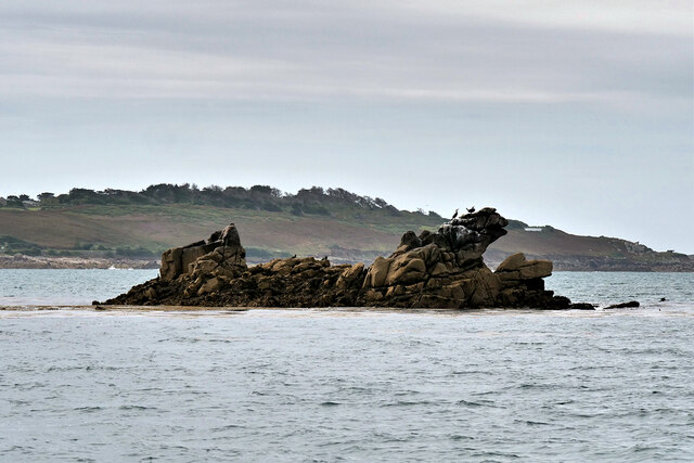
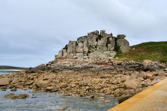
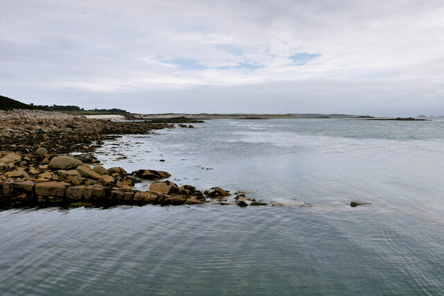
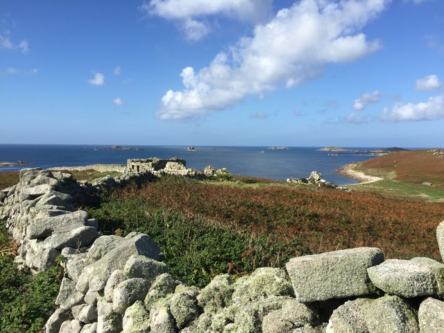
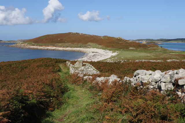
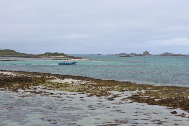
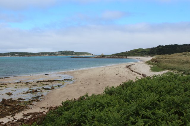
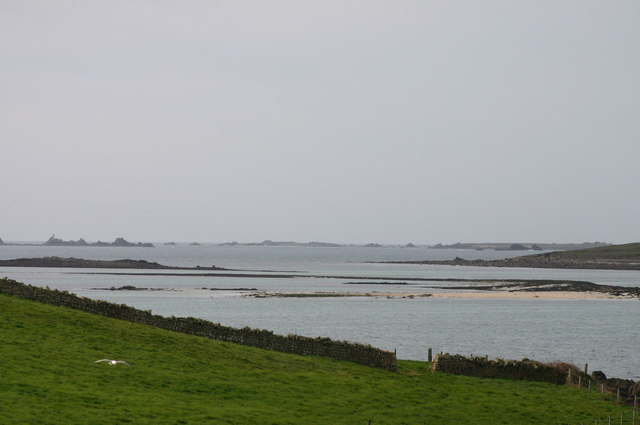
Southward Well Point is a prominent coastal feature located in Cornwall, England. Situated on the southern coast, it is a headland that juts out into the Celtic Sea. This natural point is known for its stunning geological formations, rugged cliffs, and panoramic views of the surrounding area.

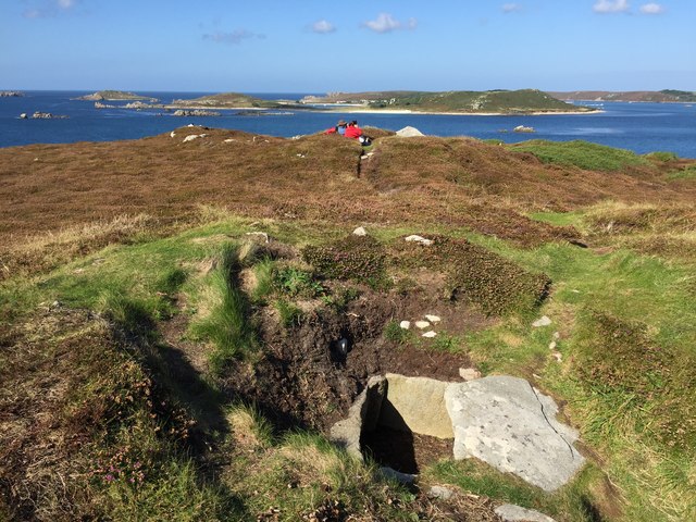
The headland is characterized by its towering cliffs, which are composed of sedimentary rocks such as sandstone and shale. These cliffs provide a habitat for a diverse range of seabirds, including gulls and cormorants, making it a popular spot for birdwatching. The area is also home to various marine species, including seals and dolphins, which can often be spotted from the shore.

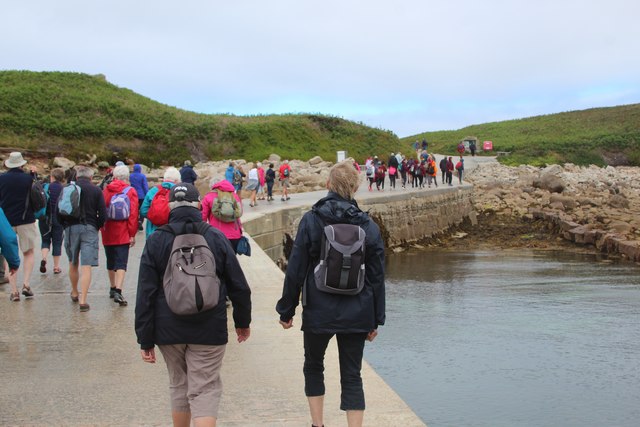
Southward Well Point offers visitors breathtaking views of the coastline, with its elevated position providing unobstructed vistas of the sea and the adjacent beaches. The point is a popular destination for hikers and nature enthusiasts, who can explore the numerous walking trails that wind their way along the cliffs and through the surrounding countryside.

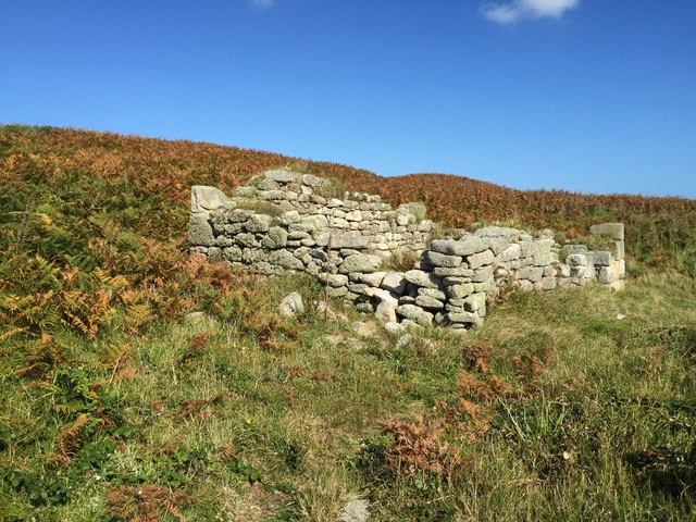
The headland is also significant historically, as it has been a site of human activity for centuries. Archaeological findings suggest that the area was inhabited during the Iron Age, and remnants of ancient settlements can still be found in the vicinity.

Overall, Southward Well Point is a captivating coastal feature in Cornwall, offering a blend of natural beauty, wildlife, and historical significance. Its dramatic cliffs, diverse flora and fauna, and commanding views make it a must-visit destination for those seeking to immerse themselves in Cornwall's rugged coastal charm.

If you have any feedback on the listing, please let us know in the comments section below.

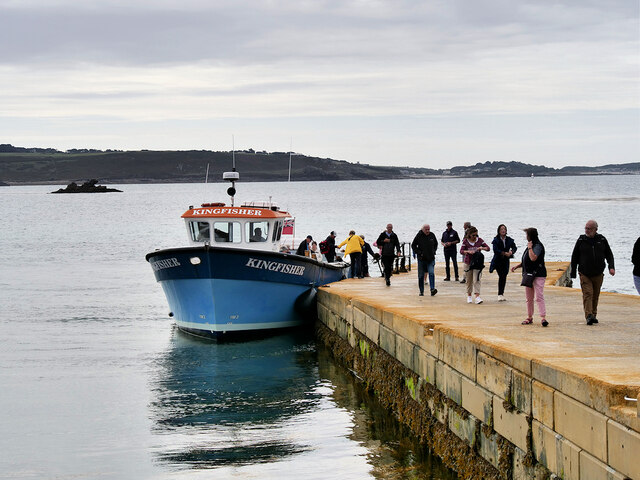
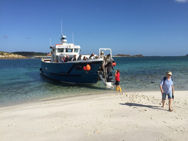
Southward Well Point Images

Images are sourced within 2km of 49.927426/-6.3481792 or Grid Reference SV8812. Thanks to Geograph Open Source API. All images are credited.

Carn Near Landing Stage, Tresco Visitors to Tresco disembarking from the ferry "Kingfisher" at the Carn Near landing point.
Carn Near Landing Stage, Tresco
Visitors to Tresco disembarking from the ferry "Kingfisher" at the Carn Near landing point.
Isles of Scilly, The Mare The Mare is the southernmost of the rocky islets just south of Tresco.
Isles of Scilly, The Mare
The Mare is the southernmost of the rocky islets just south of Tresco.
Tresco, Carn Near The southern tip of the island of Tresco.
Tresco, Carn Near
The southern tip of the island of Tresco.
Tresco shore The southern shore of Tresco, viewed from the quay at Carn Near.
Tresco shore
The southern shore of Tresco, viewed from the quay at Carn Near.
Alighting on Samson Firethorn dropping off visitors to Samson.
Alighting on Samson
Firethorn dropping off visitors to Samson.
Stonewall on Samson At the uninhabited settlement on Samson
Stonewall on Samson
At the uninhabited settlement on Samson
Remnants on Samson Remnants of housing and stone walls on Samson
Remnants on Samson
Remnants of housing and stone walls on Samson
Abandoned dwelling An abandoned dwelling on Samson
Abandoned dwelling
An abandoned dwelling on Samson
Cairns on North Hill Burial chambers on North Hill, Samson
Cairns on North Hill
Burial chambers on North Hill, Samson
Kite Surfing In Appletree Bay, Tresco
Kite Surfing
In Appletree Bay, Tresco
Carn Near Road, South Quay
South Coast of Tresco near South Quay
Appletree  Bay
Appletree Bay
Tresco Flats At the southern  end of Tresco are Tresco Flats. They provide yet another shallow area of water and a sandy beach when the tide is out.
Tresco Flats
At the southern end of Tresco are Tresco Flats. They provide yet another shallow area of water and a sandy beach when the tide is out.
The Mare Just visible at high tide.
The Mare
Just visible at high tide.
Downhill View, Samson Looking from South Hill over one of the old cottages and on to the Norrard Rocks.
From a print, date uncertain.
Downhill View, Samson
Looking from South Hill over one of the old cottages and on to the Norrard Rocks. From a print, date uncertain.
Ruined Homestead, Samson The last inhabitants left Samson in 1855 and the remains of their settlement are still standing.
Wikipedia says "The island was inhabited until 1855, when the Lord Proprietor Augustus Smith removed the remaining population from the island. By this point, the population was found to be suffering from severe deprivation—particularly due to a diet of limpets and potatoes—and consisted of only two families: the Woodcocks and the Webbers." <span class="nowrap"><a title="https://en.wikipedia.org/wiki/Samson,_Isles_of_Scilly" rel="nofollow ugc noopener" href="https://en.wikipedia.org/wiki/Samson,_Isles_of_Scilly">Link</a><img style="margin-left:2px;" alt="External link" title="External link - shift click to open in new window" src="https://s1.geograph.org.uk/img/external.png" width="10" height="10"/></span>
From a print, date not exact.
Ruined Homestead, Samson
The last inhabitants left Samson in 1855 and the remains of their settlement are still standing. Wikipedia says "The island was inhabited until 1855, when the Lord Proprietor Augustus Smith removed the remaining population from the island. By this point, the population was found to be suffering from severe deprivation—particularly due to a diet of limpets and potatoes—and consisted of only two families: the Woodcocks and the Webbers." LinkExternal link From a print, date not exact.
Ruined Building, Samson Samson had a resident population until 1855 when the last two families left. Even by Victorian standards their lives had become so desperate that the authorities moved them off the island.
The remains of houses and field walls are still obvious.
Ruined Building, Samson
Samson had a resident population until 1855 when the last two families left. Even by Victorian standards their lives had become so desperate that the authorities moved them off the island. The remains of houses and field walls are still obvious.
Show me another place!

Southward Well Point is located at Grid Ref: SV8812 (Lat: 49.927426, Lng: -6.3481792)

Division: Isles of Scilly

Unitary Authority: Isles of Scilly

Police Authority: Devon and Cornwall

What 3 Words

///hosts.gone.repayment. Near Bryher, Isles of Scilly

Related Wikis

Nearby Amenities

Located within 500m of 49.927426,-6.3481792
South Hill
Natural: peak
Lat/Long: 49.929203/-6.3505036
Barrier: stile
Lat/Long: 49.9304113/-6.351774
The data included in this document is from www.openstreetmap.org. The data is made available under ODbL.

Have you been to Southward Well Point?

Leave your review of Southward Well Point below (or comments, questions and feedback).