Kettle Bottom
Coastal Feature, Headland, Point in Cornwall
England
Kettle Bottom
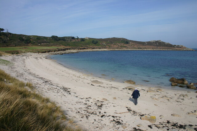
Kettle Bottom is a prominent coastal feature located in the county of Cornwall, England. It is a picturesque headland that juts out into the Atlantic Ocean, offering stunning views and a unique geological formation.
Situated near the town of St. Ives, Kettle Bottom is characterized by its rugged cliffs and rocky shoreline. The headland is formed by the erosion of softer rocks over millions of years, leaving behind a distinctive shape that resembles a kettle. This geological feature gives the headland its name.
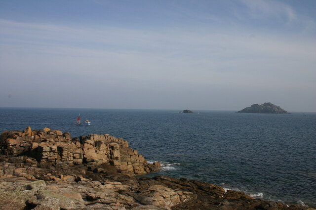
The cliffs of Kettle Bottom are known for their dramatic height, reaching up to 100 meters in some areas. They are composed mainly of granite, which gives the coastline a rugged and weathered appearance. The headland is also home to several small caves and coves, providing shelter for various marine species and offering opportunities for exploration.
The coastal path that winds along Kettle Bottom provides visitors with breathtaking views of the surrounding landscape, including sweeping vistas of the ocean and nearby beaches. The area is a popular spot for hiking and birdwatching, with a variety of seabirds and other wildlife calling the headland home.
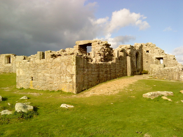
Kettle Bottom is not only a natural wonder but also holds historical significance. It has been a site of human activity for thousands of years, with evidence of ancient settlements and burial mounds found in the vicinity. The headland is also linked to local legends and folklore, adding to its mystique.
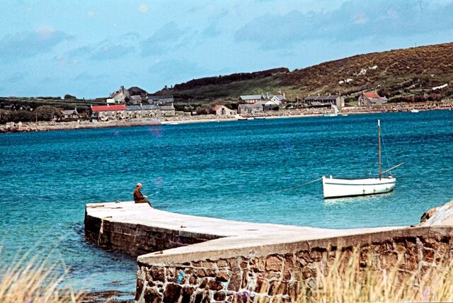
Overall, Kettle Bottom is a captivating coastal feature that draws visitors with its stunning scenery, unique geological formations, and rich history. It remains a must-visit destination for nature enthusiasts and those seeking to immerse themselves in Cornwall's natural beauty.
If you have any feedback on the listing, please let us know in the comments section below.
Kettle Bottom Images
Images are sourced within 2km of 49.969689/-6.3532767 or Grid Reference SV8716. Thanks to Geograph Open Source API. All images are credited.


Kettle Bottom is located at Grid Ref: SV8716 (Lat: 49.969689, Lng: -6.3532767)
Division: Isles of Scilly
Unitary Authority: Isles of Scilly
Police Authority: Devon and Cornwall
What 3 Words
///raven.stored.followers. Near Bryher, Isles of Scilly
Nearby Locations
Related Wikis

Piper's Hole
Piper's Hole is a sea cave located on Tresco, an island of the Isles of Scilly. The name Piper's Hole can also refer to another, more minor, sea cave in...
King Charles's Castle
King Charles's Castle is a ruined artillery fort overlooking New Grimsby harbour on the island of Tresco in the Isles of Scilly. Built between 1548 and...

Cromwell's Castle
Cromwell's Castle is an artillery fort overlooking New Grimsby harbour on the island of Tresco in the Isles of Scilly. It comprises a tall, circular gun...

Castle Down
Castle Down is a windswept plateau of maritime heath in the northern part of the island of Tresco, Isles of Scilly. The area has a number of designations...
Nearby Amenities
Located within 500m of 49.969689,-6.3532767Have you been to Kettle Bottom?
Leave your review of Kettle Bottom below (or comments, questions and feedback).