Badplace Hill

Hill, Mountain in Cornwall

England

Badplace Hill

Plum Island Tresco View Across New Grimsby Harbour to Plum island  with the island of Bryher in the background and King Henry's Castle on the extreme right.
Plum Island Tresco Credit: Nigel Mykura

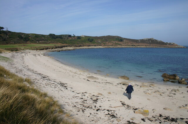
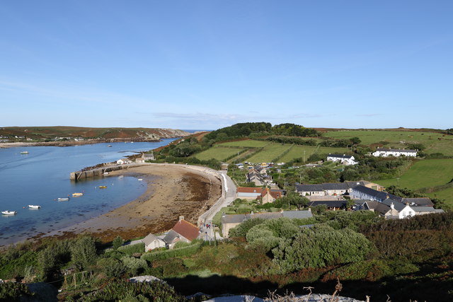
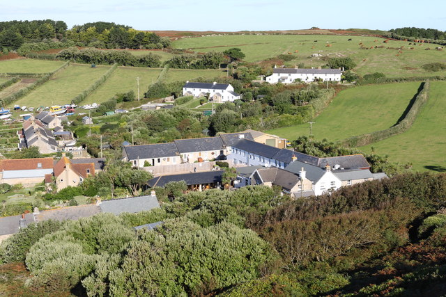
Badplace Hill is a prominent natural landmark located in Cornwall, England. Situated in the southwestern region of the country, it is part of the picturesque Cornish countryside and offers breathtaking views of the surrounding landscape. Despite its somewhat foreboding name, Badplace Hill is a popular destination for hikers, nature enthusiasts, and photographers.

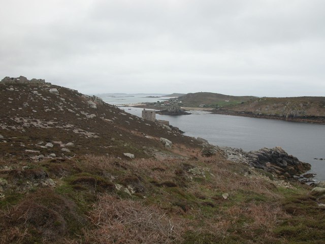
Rising to an elevation of approximately 300 meters, Badplace Hill is classified as a hill rather than a mountain. However, its steep slopes and rugged terrain give it a mountainous feel, adding to its allure. The hill is characterized by its rocky outcrops, which provide a dramatic backdrop and contribute to the sense of adventure for those who venture to its summit.

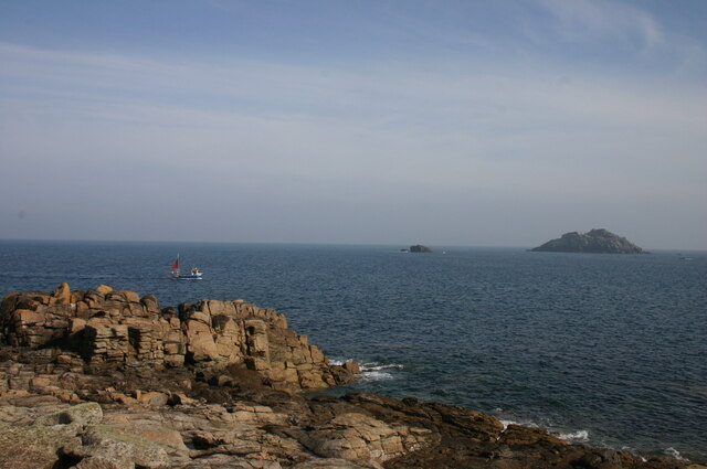
The ascent to the peak of Badplace Hill can be challenging, but the reward is well worth the effort. On a clear day, visitors are treated to panoramic views of the surrounding countryside, including rolling hills, quaint villages, and distant coastal vistas. The hill is also known for its diverse flora and fauna, with wildflowers, heather, and gorse dotting the landscape.

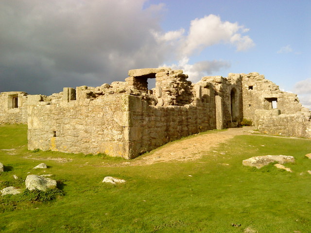
In addition to its natural beauty, Badplace Hill holds historical significance. It is believed to have been used as a lookout point during ancient times, providing strategic views of the surrounding area. Today, remnants of stone structures can still be found atop the hill, serving as a reminder of its past.

Whether it's for a challenging hike, a peaceful walk, or simply to admire the stunning scenery, Badplace Hill offers something for everyone. Its unique combination of natural beauty, historical significance, and captivating views make it a must-visit destination in Cornwall.

If you have any feedback on the listing, please let us know in the comments section below.

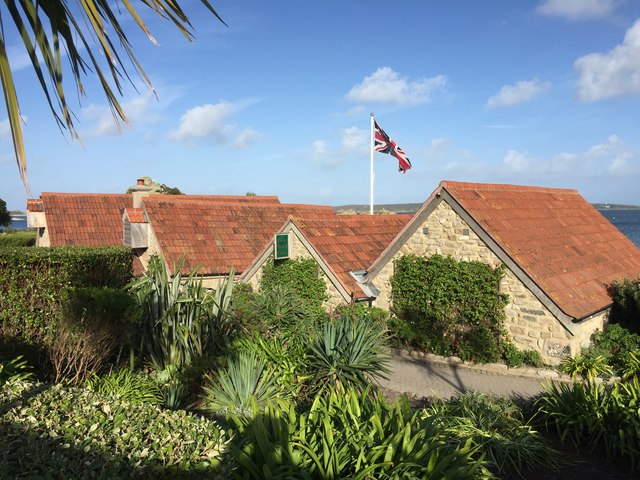
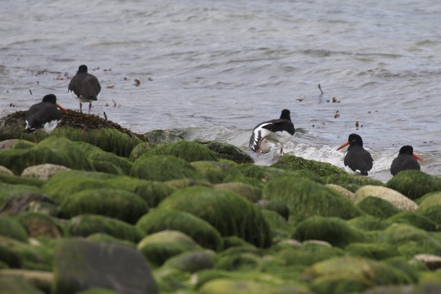
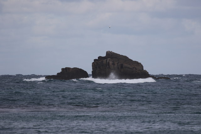
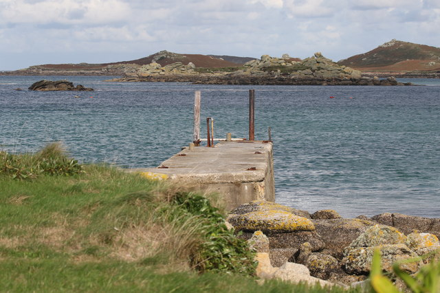
Badplace Hill Images

Images are sourced within 2km of 49.963773/-6.3588799 or Grid Reference SV8716. Thanks to Geograph Open Source API. All images are credited.

Plum Island Tresco View Across New Grimsby Harbour to Plum island  with the island of Bryher in the background and King Henry's Castle on the extreme right.
Plum Island Tresco
View Across New Grimsby Harbour to Plum island with the island of Bryher in the background and King Henry's Castle on the extreme right.
Gimble Porth This is just one of Tresco's many wonderful beaches.
Gimble Porth
This is just one of Tresco's many wonderful beaches.
A boat off the north of Tresco Taken in 2005 but only just being submitted, so I hope I have the view direction correct. Tresco is a wonderful peaceful island at any time of the year, but especially in Spring.
A boat off the north of Tresco
Taken in 2005 but only just being submitted, so I hope I have the view direction correct. Tresco is a wonderful peaceful island at any time of the year, but especially in Spring.
A misty day on Bryher Not such a good day, weather wise as the mist was down over the island most of the day. This dull view is looking towards Hell Bay Hotel.
A misty day on Bryher
Not such a good day, weather wise as the mist was down over the island most of the day. This dull view is looking towards Hell Bay Hotel.
Shore , North Tresco Taken during a walk around northern part of Tresco
Shore , North Tresco
Taken during a walk around northern part of Tresco
Church , Tresco Taken during walk round north of Island
Church , Tresco
Taken during walk round north of Island
The Ruin Inn A cafe and restaurant in Old Grimsby, Tresco
The Ruin Inn
A cafe and restaurant in Old Grimsby, Tresco
Oystercatchers in Gimble Porth On Tresco
Oystercatchers in Gimble Porth
On Tresco
Golden Ball From Tresco
Golden Ball
From Tresco
Old Grimsby Quay Looking towards Foreman's Island
Old Grimsby Quay
Looking towards Foreman's Island
Rainbow between Tresco and Bryher Looking north towards Plumb Island
Rainbow between Tresco and Bryher
Looking north towards Plumb Island
St Nicholas' Church, Tresco From the south
St Nicholas' Church, Tresco
From the south
Looking down on the church Towards St Nicholas' Church, Tresco
Looking down on the church
Towards St Nicholas' Church, Tresco
Bracken above the Flying Boat Club On Tresco
Bracken above the Flying Boat Club
On Tresco
Water tanks Providing most of the fresh water for Tresco
Water tanks
Providing most of the fresh water for Tresco
New Grimsby Harbour From the hill overlooking the harbour
New Grimsby Harbour
From the hill overlooking the harbour
The New Inn and New Grimsby On the west side of Tresco
The New Inn and New Grimsby
On the west side of Tresco
Firethorn of Tresco Boat Services Collecting passengers for a trip to the Northern Rocks and St Agnes
Firethorn of Tresco Boat Services
Collecting passengers for a trip to the Northern Rocks and St Agnes
Show me another place!

Badplace Hill is located at Grid Ref: SV8716 (Lat: 49.963773, Lng: -6.3588799)

Division: Isles of Scilly

Unitary Authority: Isles of Scilly

Police Authority: Devon and Cornwall

What 3 Words

///waiters.mainframe.appendix. Near Bryher, Isles of Scilly

Related Wikis

Cromwell's Castle

Cromwell's Castle is an artillery fort overlooking New Grimsby harbour on the island of Tresco in the Isles of Scilly. It comprises a tall, circular gun...

King Charles's Castle

King Charles's Castle is a ruined artillery fort overlooking New Grimsby harbour on the island of Tresco in the Isles of Scilly. Built between 1548 and...

Castle Down

Castle Down is a windswept plateau of maritime heath in the northern part of the island of Tresco, Isles of Scilly. The area has a number of designations...

Bryher

Bryher (Cornish: Breyer, lit. 'place of hills') is one of the smallest inhabited islands of the Isles of Scilly, with a population of 84 in 2011, spread...

Nearby Amenities

Located within 500m of 49.963773,-6.3588799
Hell Bay
Natural: bay
Lat/Long: 49.9610555/-6.3584981
Ele: 39
Natural: peak
Lat/Long: 49.9616562/-6.3545788
Badplace Hill
Natural: peak
Lat/Long: 49.9636301/-6.3589493
The Gulf
Natural: strait
Lat/Long: 49.9641994/-6.3598725
Anchor Carn
Place: locality
Lat/Long: 49.9606074/-6.3548297
The data included in this document is from www.openstreetmap.org. The data is made available under ODbL.

Have you been to Badplace Hill?

Leave your review of Badplace Hill below (or comments, questions and feedback).