Rubha Liasain
Coastal Feature, Headland, Point in Inverness-shire
Scotland
Rubha Liasain
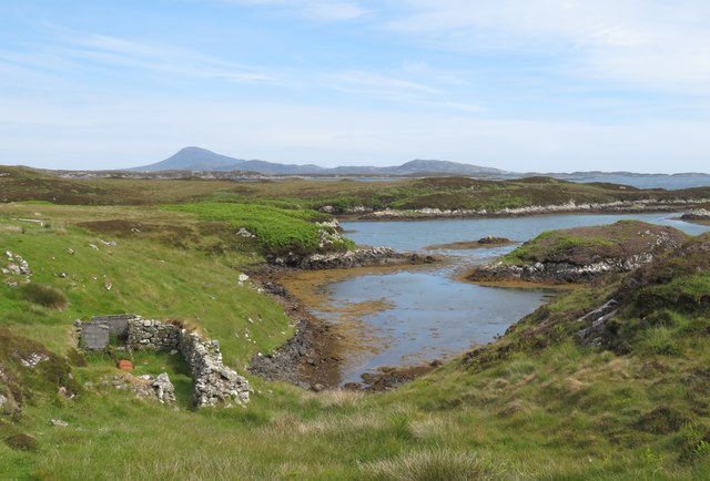
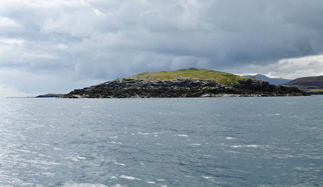
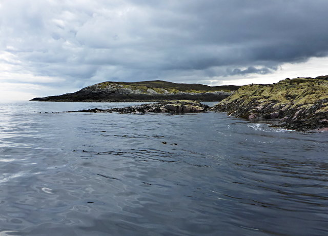
Rubha Liasain is a prominent headland located in Inverness-shire, Scotland. Situated on the west coast of the Scottish Highlands, it extends out into the North Atlantic Ocean. This coastal feature is known for its rugged and dramatic landscape, offering breathtaking views of the surrounding sea and nearby islands.
The headland is characterized by its steep cliffs that rise up from the water, creating a striking contrast between the deep blue ocean and the towering rock formations. These cliffs are a result of the constant erosion caused by the powerful waves crashing against them over time. At the top of the cliffs, the land is covered in lush green vegetation, providing a stark contrast to the sheer drop below.
Rubha Liasain is a popular spot for nature enthusiasts, hikers, and photographers who are drawn to its natural beauty and unique geological formations. The headland provides an excellent vantage point for observing marine wildlife, such as seals, dolphins, and various seabirds that inhabit the area.
Access to Rubha Liasain is relatively easy, with a well-maintained footpath leading visitors to the headland. However, caution is advised when exploring the cliffs due to their steep and potentially dangerous nature. It is also worth noting that the weather in this part of Scotland can be unpredictable, so appropriate clothing and footwear are recommended.
Whether you are seeking a peaceful retreat surrounded by stunning natural scenery or an adventurous hike along the rugged coastline, Rubha Liasain offers a captivating experience for all who visit.
If you have any feedback on the listing, please let us know in the comments section below.
Rubha Liasain Images
Images are sourced within 2km of 57.424656/-7.2014018 or Grid Reference NF8749. Thanks to Geograph Open Source API. All images are credited.


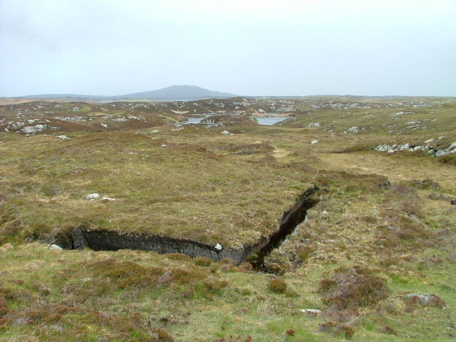
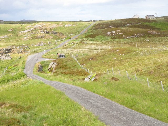
![A popular post box Maybe not so popular when it comes to the amount of mail that passes through it, but certainly popular with [currently] two thirds of geograph contributors who pass this way. The reason is that there is very little else of note in this square except for rough grassland and rather soggy moorland.](https://s1.geograph.org.uk/geophotos/06/20/89/6208981_6d9f61ef.jpg)
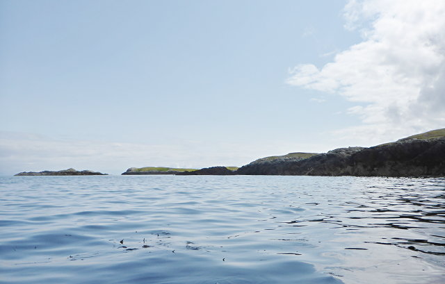
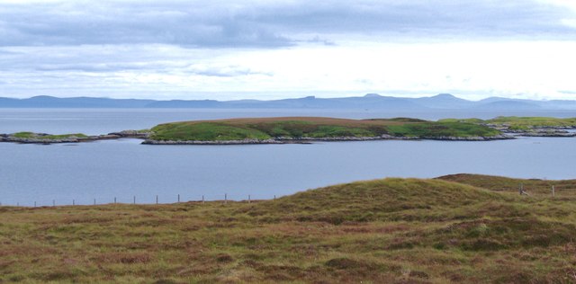
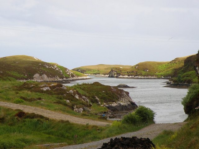
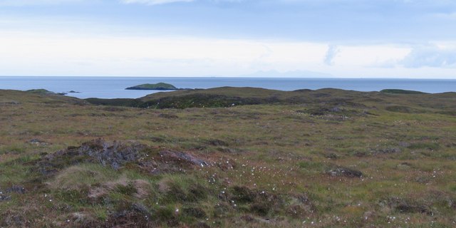
![Offshore skerry near Uiseabhagh The view offshore from a remote stretch of the Benbecula coastline. The skerry is unnamed on the map, whilst the coastline of Skye is visible in the distance [right].](https://s1.geograph.org.uk/geophotos/03/06/16/3061637_f08c3474.jpg)


Rubha Liasain is located at Grid Ref: NF8749 (Lat: 57.424656, Lng: -7.2014018)
Unitary Authority: Na h-Eileanan an Iar
Police Authority: Highlands and Islands
What 3 Words
///replayed.perform.letters. Near Balivanich, Na h-Eileanan Siar
Nearby Locations
Related Wikis

Eileanan Chearabhaigh
Eileanan Chearabhaigh is a collection of small uninhabited tidal islands off the south east coast of Benbecula in the Outer Hebrides of Scotland. The English...

Wiay, Outer Hebrides
Wiay (Scottish Gaelic: Bhuia or Fuidheigh) is an uninhabited island in the Outer Hebrides. It lies south-east of Benbecula and measures approximately...

Grimsay (South East Benbecula)
Grimsay, south east of Benbecula is a tidal island of the Outer Hebrides. It is connected to Benbecula by a causeway which carries the B891. In the 2001...

Eilean na Cille
Eilean na Cille, south east of Benbecula is an island of the Outer Hebrides connected to Grimsay (South) by a causeway which carries the B891. The road...
Have you been to Rubha Liasain?
Leave your review of Rubha Liasain below (or comments, questions and feedback).