Cisinis

Coastal Feature, Headland, Point in Inverness-shire

Scotland

Cisinis

Siolaigh Bheag, north of Pabbay (Pabaigh) Small island south of Sioliagh (Shillay), which is to the right in the photo, as seen from a boat on the way to St Kilda.
Siolaigh Bheag, north of Pabbay (Pabaigh) Credit: Mike Pennington

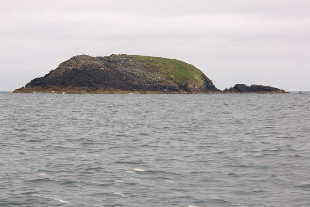
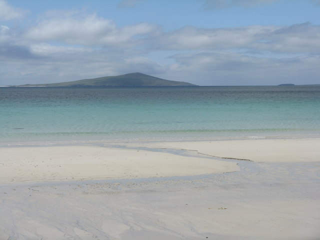
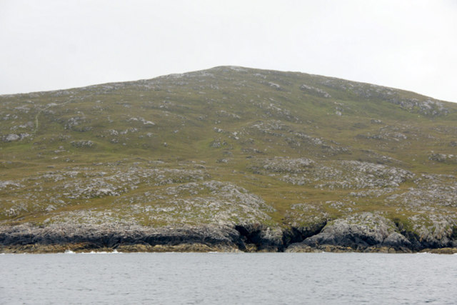
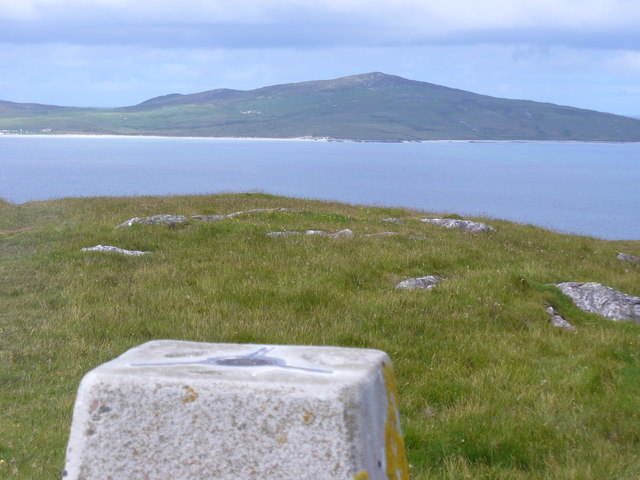
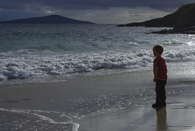
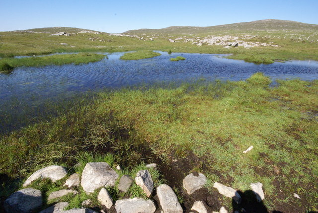
Cisinis is a prominent coastal feature located in Inverness-shire, Scotland. Situated on the western coast of the Scottish Highlands, Cisinis is a headland or point that juts out into the Atlantic Ocean. The location offers stunning views of the surrounding landscape, with rugged cliffs and rocky shores adding to its natural beauty.

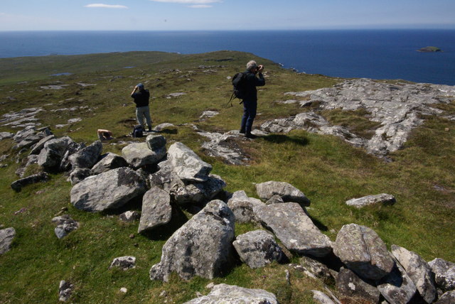
Cisinis is known for its dramatic and wild scenery, making it a popular destination for nature lovers and outdoor enthusiasts. The headland is characterized by its towering cliffs, some of which reach heights of over 100 feet. These cliffs provide a nesting ground for various seabird species, including puffins, guillemots, and razorbills, making it a haven for birdwatchers.

The area surrounding Cisinis is abundant in marine life, attracting fishermen and divers alike. The clear waters teem with a diverse array of fish species, such as cod, haddock, and mackerel, making it a prime location for angling and fishing enthusiasts. Scuba diving enthusiasts can explore the underwater world, discovering vibrant coral reefs, kelp forests, and the occasional seal or dolphin.

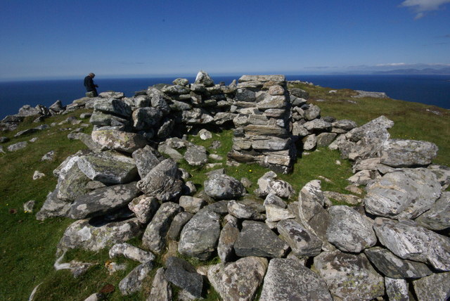
Cisinis is also steeped in history and folklore, with several archaeological sites and ruins nearby. The headland has played a significant role in the local community's history, serving as a strategic point for defense and trade. Visitors can explore ancient ruins and learn about the area's rich cultural heritage.

Overall, Cisinis in Inverness-shire offers a captivating blend of natural beauty, wildlife, and historical significance, making it an ideal destination for those seeking an immersive coastal experience in Scotland.

If you have any feedback on the listing, please let us know in the comments section below.

Cisinis Images

Images are sourced within 2km of 57.780212/-7.2594378 or Grid Reference NF8788. Thanks to Geograph Open Source API. All images are credited.

Siolaigh Bheag, north of Pabbay (Pabaigh) Small island south of Sioliagh (Shillay), which is to the right in the photo, as seen from a boat on the way to St Kilda.
Siolaigh Bheag, north of Pabbay (Pabaigh)
Small island south of Sioliagh (Shillay), which is to the right in the photo, as seen from a boat on the way to St Kilda.
Siolaigh Bheag, north of Pabbay (Pabaigh) Taken from the south-east.
Siolaigh Bheag, north of Pabbay (Pabaigh)
Taken from the south-east.
Pabbay/Pabaigh, a view from Northton Looking west from over Tràigh na h-Uidhe to the island, 9km away. The smaller island to the right is Shillay/Siolaigh.
Pabbay/Pabaigh, a view from Northton
Looking west from over Tràigh na h-Uidhe to the island, 9km away. The smaller island to the right is Shillay/Siolaigh.
North coast of Pabbay (Pabaigh) With the hill of Beinn a' Charnain in the background.
North coast of Pabbay (Pabaigh)
With the hill of Beinn a' Charnain in the background.
Pabbay / Pabaigh Pabbay island seen from the trig point on Ben Leva, Berneray.
<span class="nowrap"><a title="http://www.isleofberneray.com/" rel="nofollow ugc noopener" href="http://www.isleofberneray.com/">Link</a><img style="margin-left:2px;" alt="External link" title="External link - shift click to open in new window" src="https://s1.geograph.org.uk/img/external.png" width="10" height="10"/></span>
Pabbay / Pabaigh
Pabbay island seen from the trig point on Ben Leva, Berneray. LinkExternal link
Young King Canute Young boy looking towards Pabbay from Northton beach.
Young King Canute
Young boy looking towards Pabbay from Northton beach.
Views from Beinn a' Charnain Little Shillay is seen offshore on the right
Views from Beinn a' Charnain
Little Shillay is seen offshore on the right
Beinn a'Charnain, Pabbay This is one of the island summits of the Relative Hills of Britain (Marilyns).
Beinn a'Charnain, Pabbay
This is one of the island summits of the Relative Hills of Britain (Marilyns).
Loch Heddal More Pabbay's largest freshwater loch
Loch Heddal More
Pabbay's largest freshwater loch
Pabbay - unnamed lochan The small hill of Meahall shows top right.
Pabbay - unnamed lochan
The small hill of Meahall shows top right.
Show me another place!

Cisinis is located at Grid Ref: NF8788 (Lat: 57.780212, Lng: -7.2594378)

Unitary Authority: Na h-Eileanan an Iar

Police Authority: Highlands and Islands

What 3 Words

///slugs.resorting.unit. Near Leverburgh, Na h-Eileanan Siar

Related Wikis

Pabbay, Harris

Pabbay (Scottish Gaelic: Pabaigh) is an uninhabited island in the Outer Hebrides of Scotland which lies in the Sound of Harris between Harris and North...

Shillay

Shillay (Scottish Gaelic: Siolaigh) is an uninhabited island which lies 2 km north of Pabbay in the Outer Hebrides of Scotland. The name is derived from...

Boreray, North Uist

Boreray (Scottish Gaelic: Boraraigh) is an island with a single croft, lying 2 kilometres (1.2 mi) north of North Uist in the Outer Hebrides of Scotland...

Berneray (North Uist)

Berneray (Scottish Gaelic: Beàrnaraigh na Hearadh) is an island and community in the Sound of Harris, Scotland. It is one of fifteen inhabited islands...

Nearby Amenities

Located within 500m of 57.780212,-7.2594378
Created By: dmgroom_coastlines
Source: PGS
Lat/Long: 57.77836/-7.26247
Created By: dmgroom_coastlines
Source: PGS
Lat/Long: 57.77862/-7.26246
Created By: dmgroom_coastlines
Source: PGS
Lat/Long: 57.7787/-7.26214
Created By: dmgroom_coastlines
Source: PGS
Lat/Long: 57.77888/-7.26197
Created By: dmgroom_coastlines
Source: PGS
Lat/Long: 57.77886/-7.26149
Created By: dmgroom_coastlines
Source: PGS
Lat/Long: 57.77861/-7.2615
Created By: dmgroom_coastlines
Source: PGS
Lat/Long: 57.77852/-7.26182
Created By: dmgroom_coastlines
Source: PGS
Lat/Long: 57.77836/-7.26199
Source: PGS
Lat/Long: 57.776216/-7.2610195
Source: PGS
Lat/Long: 57.7764587/-7.2605139
Source: PGS
Lat/Long: 57.77748/-7.2595027
Source: PGS
Lat/Long: 57.7777328/-7.2594926
Source: PGS
Lat/Long: 57.7782586/-7.2599476
Source: PGS
Lat/Long: 57.7790373/-7.2601498
Source: PGS
Lat/Long: 57.779017/-7.2582185
Source: PGS
Lat/Long: 57.7792698/-7.2581983
Source: PGS
Lat/Long: 57.7794114/-7.2591589
Source: PGS
Lat/Long: 57.7795429/-7.2594016
Source: PGS
Lat/Long: 57.7800687/-7.2593712
Source: PGS
Lat/Long: 57.7805743/-7.2591083
Source: PGS
Lat/Long: 57.7806956/-7.2586128
Source: PGS
Lat/Long: 57.7809484/-7.2581174
Source: PGS
Lat/Long: 57.7810596/-7.2561759
Source: PGS
Lat/Long: 57.7815753/-7.2561557
Source: PGS
Lat/Long: 57.7814338/-7.2556703
Source: PGS
Lat/Long: 57.7811709/-7.2552051
Source: PGS
Lat/Long: 57.7811506/-7.253749
Source: PGS
Lat/Long: 57.7810091/-7.2527884
Source: PGS
Lat/Long: 57.7817877/-7.252748
Source: PGS
Lat/Long: 57.7817675/-7.2517873
The data included in this document is from www.openstreetmap.org. The data is made available under ODbL.

Have you been to Cisinis?

Leave your review of Cisinis below (or comments, questions and feedback).