Rubha Òs
Coastal Feature, Headland, Point in Inverness-shire
Scotland
Rubha Òs
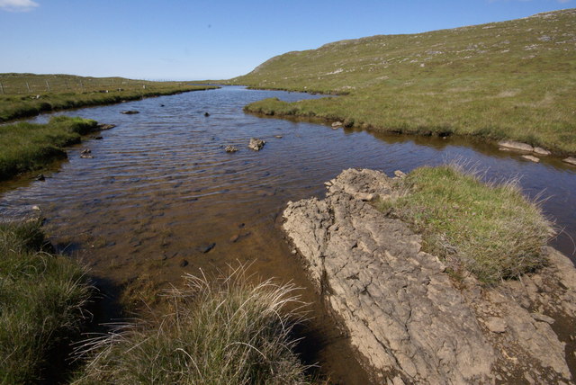
Rubha Òs is a prominent coastal feature located in Inverness-shire, Scotland. Situated on the west coast of the Highlands, this headland juts out into the Atlantic Ocean, offering breathtaking views of the surrounding landscape. The name "Rubha Òs" translates to "cape above" in Gaelic, accurately describing its position overlooking the vast expanse of the sea.
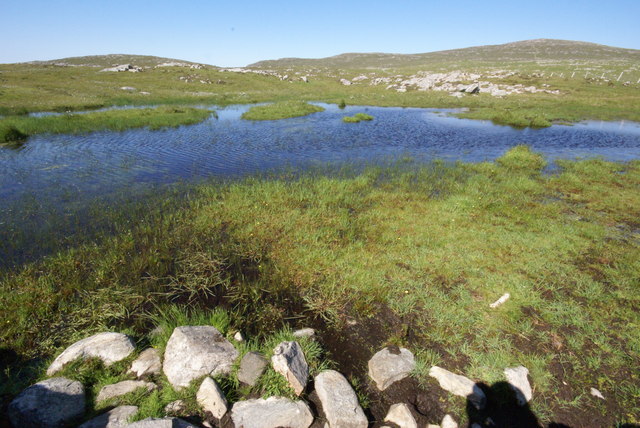
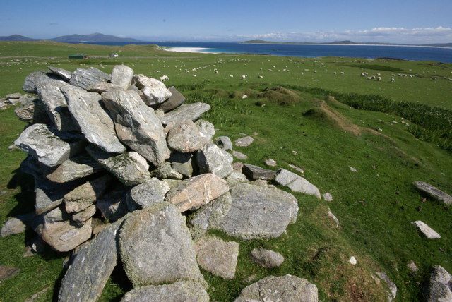
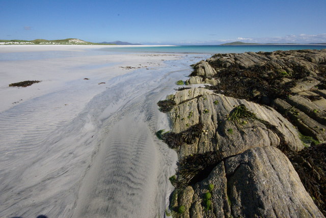
This point is characterized by its rugged and rocky terrain, which is typical of the Scottish coastline. The headland is composed of ancient metamorphic rocks, providing a rich geological history to explore. Lush green vegetation, including grasses and wildflowers, covers the land, adding to the picturesque scenery.
Rubha Òs is a popular destination for outdoor enthusiasts and nature lovers alike. Its dramatic cliffs and panoramic vistas make it an ideal spot for hiking, birdwatching, and photography. The headland is home to a diverse array of bird species, including seabirds such as gannets and fulmars. Visitors may also spot seals and dolphins swimming in the surrounding waters.
Access to Rubha Òs is relatively easy, with a well-maintained footpath leading from a nearby car park. The path meanders along the coast, allowing visitors to appreciate the beauty of the surroundings while enjoying a leisurely stroll. Interpretive signs provide information about the local flora, fauna, and history, enhancing the educational experience.
Rubha Òs is a captivating coastal feature that showcases the raw beauty of the Scottish Highlands. Its breathtaking views, diverse wildlife, and accessible hiking trails make it a must-visit destination for those seeking an authentic and awe-inspiring experience of the Scottish coast.
If you have any feedback on the listing, please let us know in the comments section below.
Rubha Òs Images
Images are sourced within 2km of 57.766336/-7.2646395 or Grid Reference NF8787. Thanks to Geograph Open Source API. All images are credited.
Rubha Òs is located at Grid Ref: NF8787 (Lat: 57.766336, Lng: -7.2646395)
Unitary Authority: Na h-Eileanan an Iar
Police Authority: Highlands and Islands
What 3 Words
///anchovies.sues.strength. Near Leverburgh, Na h-Eileanan Siar
Nearby Locations
Related Wikis

Pabbay, Harris
Pabbay (Scottish Gaelic: Pabaigh) is an uninhabited island in the Outer Hebrides of Scotland which lies in the Sound of Harris between Harris and North...

Shillay
Shillay (Scottish Gaelic: Siolaigh) is an uninhabited island which lies 2 km north of Pabbay in the Outer Hebrides of Scotland. The name is derived from...

Boreray, North Uist
Boreray (Scottish Gaelic: Boraraigh) is an island with a single croft, lying 2 kilometres (1.2 mi) north of North Uist in the Outer Hebrides of Scotland...
Berneray (North Uist)
Berneray (Scottish Gaelic: Beàrnaraigh na Hearadh) is an island and community in the Sound of Harris, Scotland. It is one of fifteen inhabited islands...
Nearby Amenities
Located within 500m of 57.766336,-7.2646395Have you been to Rubha Òs?
Leave your review of Rubha Òs below (or comments, questions and feedback).