Ruddy

Coastal Feature, Headland, Point in Cornwall

England

Ruddy

Two post-medieval quays These quays are believed to have been built to land coal for the St Agnes lighthouse.

For more details see the details on their Historic England listing:
List Entry Number:1016512. <span class="nowrap"><a title="https://historicengland.org.uk/listing/the-list/list-entry/1016512?section=official-list-entry" rel="nofollow ugc noopener" href="https://historicengland.org.uk/listing/the-list/list-entry/1016512?section=official-list-entry">Link</a><img style="margin-left:2px;" alt="External link" title="External link - shift click to open in new window" src="https://s1.geograph.org.uk/img/external.png" width="10" height="10"/></span>

The named quay “Uncle Tom’s Quay” is the more eroded of the two but can still be discerned to the right of the picture surmounted by a herring gull.
Two post-medieval quays Credit: David Lally

The requested URL returned error: 429 Too Many Requests

If you have any feedback on the listing, please let us know in the comments section below.
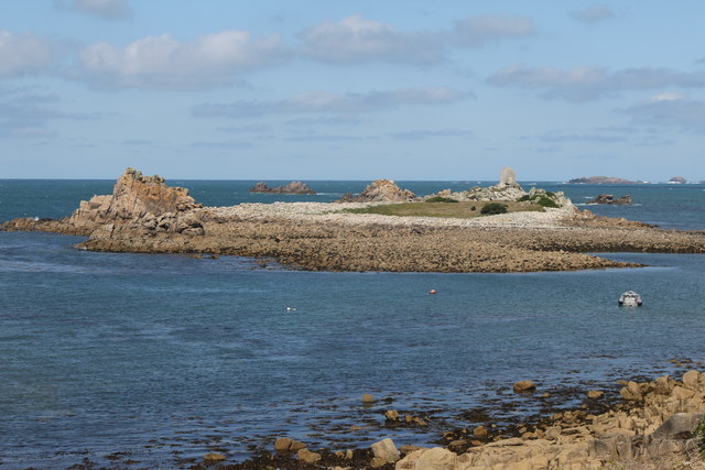
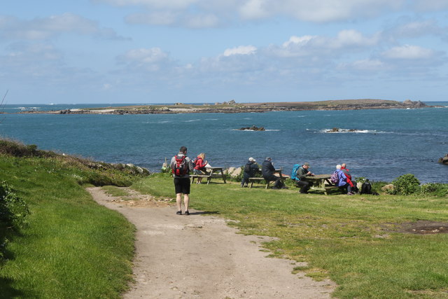
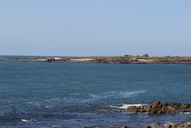
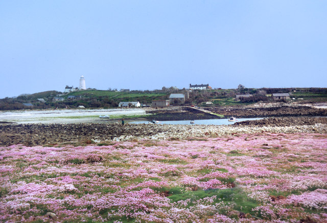
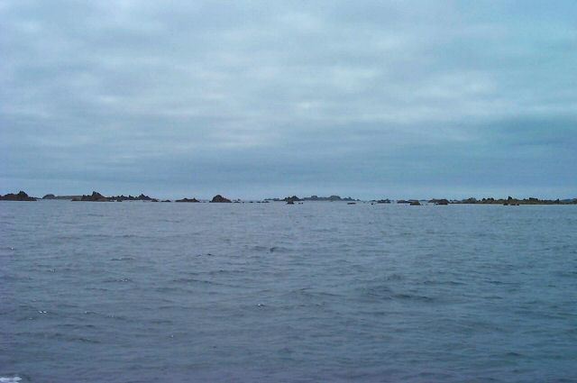
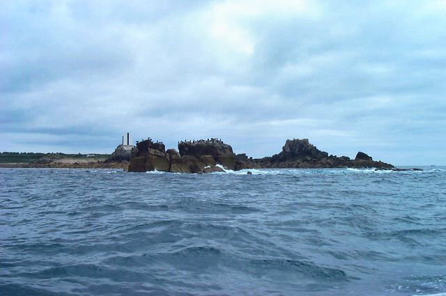
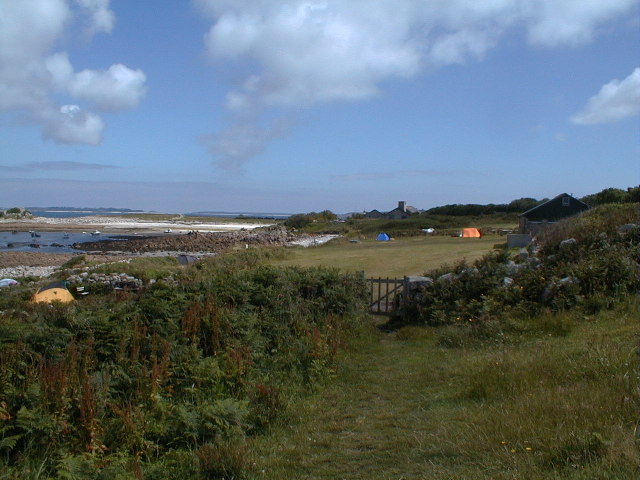
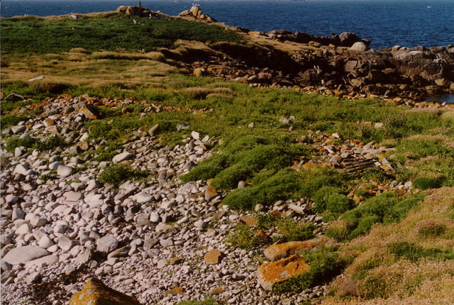
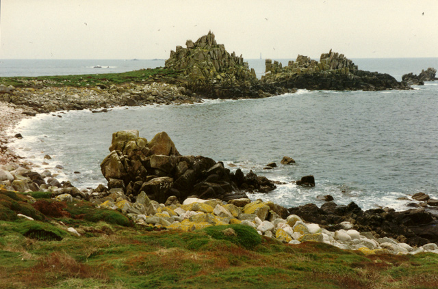
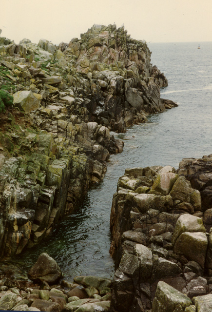
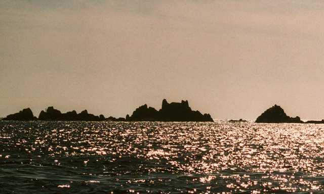
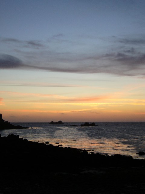
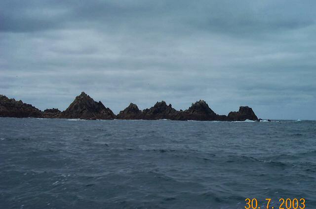
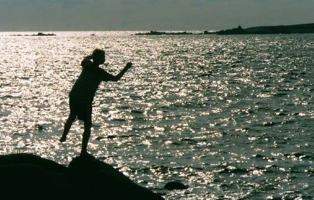
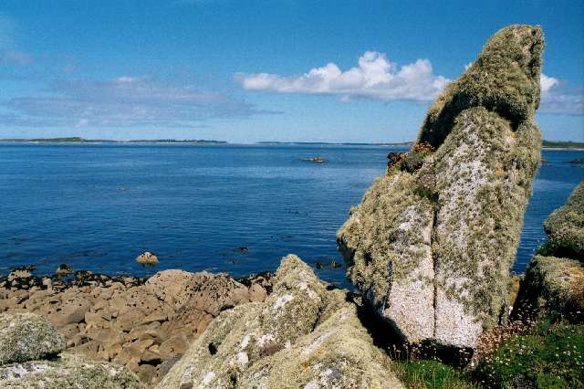
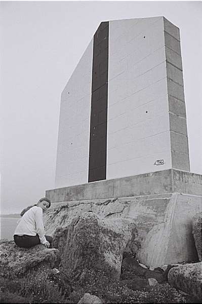
Ruddy Images

Images are sourced within 2km of 49.900161/-6.3782665 or Grid Reference SV8509. Thanks to Geograph Open Source API. All images are credited.

Two post-medieval quays These quays are believed to have been built to land coal for the St Agnes lighthouse.

For more details see the details on their Historic England listing:
List Entry Number:1016512. <span class="nowrap"><a title="https://historicengland.org.uk/listing/the-list/list-entry/1016512?section=official-list-entry" rel="nofollow ugc noopener" href="https://historicengland.org.uk/listing/the-list/list-entry/1016512?section=official-list-entry">Link</a><img style="margin-left:2px;" alt="External link" title="External link - shift click to open in new window" src="https://s1.geograph.org.uk/img/external.png" width="10" height="10"/></span>

The named quay “Uncle Tom’s Quay” is the more eroded of the two but can still be discerned to the right of the picture surmounted by a herring gull.
Two post-medieval quays
These quays are believed to have been built to land coal for the St Agnes lighthouse. For more details see the details on their Historic England listing: List Entry Number:1016512. LinkExternal link The named quay “Uncle Tom’s Quay” is the more eroded of the two but can still be discerned to the right of the picture surmounted by a herring gull.
Daymark on Burnt Island From St Agnes
Daymark on Burnt Island
From St Agnes
Burnt Island From St Agnes Church.
Burnt Island
From St Agnes Church.
Middle Penny and Inner Penny Ledge From Troytown Farm.
Middle Penny and Inner Penny Ledge
From Troytown Farm.
The south end of Annet From St Agnes.
The south end of Annet
From St Agnes.
Flowers on Burnt Island The small area of Burnt Island that is above the tide line is covered in flowers. Sea thrift, I think.
From a print, date not exact.
Flowers on Burnt Island
The small area of Burnt Island that is above the tide line is covered in flowers. Sea thrift, I think. From a print, date not exact.
Islands south of Annet - Scilly Lots of sharp, low lying points of granite. One group is aptly called Hellweathers.
Islands south of Annet - Scilly
Lots of sharp, low lying points of granite. One group is aptly called Hellweathers.
North St Agnes - Scilly Seabirds on Little Smith in front of the daymark on Tinswalbert, with Burnt Island and St Agnes in the background.
North St Agnes - Scilly
Seabirds on Little Smith in front of the daymark on Tinswalbert, with Burnt Island and St Agnes in the background.
Looking towards Periglis from Troy Town Heaven on Earth.
Looking towards Periglis from Troy Town
Heaven on Earth.
Looking NNE across the narrowest part of Annet, Isles of Scilly
Irishman's Carn, North West Par of Annet, Isles of Scilly Looking SW across the North West Par (or Porth) of Annet, Bishop Rock lighthouse is just visible on the horizon (photo by Nat Legg).
Irishman's Carn, North West Par of Annet, Isles of Scilly
Looking SW across the North West Par (or Porth) of Annet, Bishop Rock lighthouse is just visible on the horizon (photo by Nat Legg).
Annet Head, Annet, Isles of Scilly Looking North to Annet Head, Old Wreck navigation buoy is visible in the distance.

Please give photo credit to Nat Legg.
Annet Head, Annet, Isles of Scilly
Looking North to Annet Head, Old Wreck navigation buoy is visible in the distance. Please give photo credit to Nat Legg.
Old Woman's House, Isles of Scilly Looking WSW across Smith Sound to Old Woman's House and Annet Neck (the gap between the rocks), Bishop Rock lighthouse is just visible behind the rocks to the left of the picture.
Old Woman's House, Isles of Scilly
Looking WSW across Smith Sound to Old Woman's House and Annet Neck (the gap between the rocks), Bishop Rock lighthouse is just visible behind the rocks to the left of the picture.
Sunset on the Smiths The rock in the right of this picture is little Smith, you can also see the brow around it and the Bristolman and half-tide ledges behind and to the right, these are the only features in this grid square.
Sunset on the Smiths
The rock in the right of this picture is little Smith, you can also see the brow around it and the Bristolman and half-tide ledges behind and to the right, these are the only features in this grid square.
Haycocks, Annet - Scilly These jags of granite look ideal for trapping and dispatching ships in bad weather.
Haycocks, Annet - Scilly
These jags of granite look ideal for trapping and dispatching ships in bad weather.
Boy on rocks My son Ben, "dancing with the waves" near Troy Town campsite
Boy on rocks
My son Ben, "dancing with the waves" near Troy Town campsite
Scillonian Granite The following winter this rock was subject to the attentions of Trinity House and this <a href="https://www.geograph.org.uk/photo/591035">SV8708 : Navigational Marker on Burnt Island</a> was built on top of it.
Scillonian Granite
The following winter this rock was subject to the attentions of Trinity House and this SV8708 : Navigational Marker on Burnt Island was built on top of it.
Navigational Marker on Burnt Island This marker was built by Trinity House in the spring of 2002 to mark the North-West passage following an incident a few years before when a German cruise liner ran aground entering the Islands. Lining up the marker with the St Agnes lighthouse guides ships safely into the archipelago.

The construction is considered by many to be an unnecessary eyesore.
Navigational Marker on Burnt Island
This marker was built by Trinity House in the spring of 2002 to mark the North-West passage following an incident a few years before when a German cruise liner ran aground entering the Islands. Lining up the marker with the St Agnes lighthouse guides ships safely into the archipelago. The construction is considered by many to be an unnecessary eyesore.
Show me another place!

Ruddy is located at Grid Ref: SV8509 (Lat: 49.900161, Lng: -6.3782665)

Division: Isles of Scilly

Unitary Authority: Isles of Scilly

Police Authority: Devon and Cornwall

What 3 Words

///serenade.trials.agreement. Near St Agnes, Isles of Scilly

Related Wikis

Annet, Isles of Scilly

Annet (Cornish: Anet, lit. 'kittiwake') is the second largest of the fifty or so uninhabited Isles of Scilly, 1 kilometre (0.62 mi) west of St Agnes with...

Thomas W. Lawson (ship)

Thomas W. Lawson was a seven-masted, steel-hulled schooner built for the Pacific trade, but used primarily to haul coal and oil along the East Coast of...

Burnt Island, Isles of Scilly

Burnt Island is a small, uninhabited island in the Isles of Scilly, Cornwall, United Kingdom. It is covered in thrift and long grasses. and is linked to...

St Agnes Lifeboat Station, Isles of Scilly

St Agnes' Lifeboat Station was situated in St Agnes, Isles of Scilly and provided a service for the Royal National Lifeboat Institution from 1891 to 1920...

Nearby Amenities

Located within 500m of 49.900161,-6.3782665
North West Porth
Natural: bay
Lat/Long: 49.8972168/-6.3760181
Carn Irish
Place: locality
Lat/Long: 49.8961801/-6.3773055
North East Porth
Natural: bay
Source: OS Open Names
Lat/Long: 49.8991155/-6.3717877
Seamark Buoy Cardinal Category: north
Seamark Buoy Cardinal Colour: black;yellow
Seamark Buoy Cardinal Colour Pattern: horizontal
Seamark Buoy Cardinal Shape: pillar
Seamark Light Character: VQ
Seamark Light Colour: white
Seamark Name: Old Wreck
Seamark Topmark Colour: black
Seamark Topmark Shape: 2 cones up
Seamark Type: buoy_cardinal
Lat/Long: 49.9040123/-6.3791943
The data included in this document is from www.openstreetmap.org. The data is made available under ODbL.

Have you been to Ruddy?

Leave your review of Ruddy below (or comments, questions and feedback).