Eilean Dubh Mòr

Coastal Feature, Headland, Point in Inverness-shire

Scotland

Eilean Dubh Mòr

On the straight and narrow Approaching Botarua, N Uist.  The extensive sands of Traigh Bhalaigh to the right.
On the straight and narrow Credit: Gordon Brown

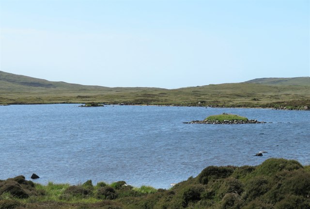
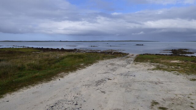
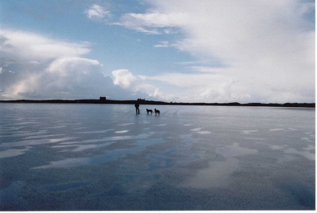
Eilean Dubh Mòr is a prominent coastal feature located in the county of Inverness-shire, Scotland. Situated near the village of Arisaig, it is a headland that juts out into the Atlantic Ocean, forming a distinct point along the coastline.

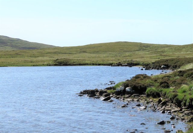
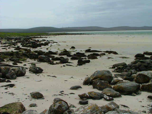
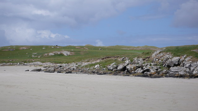
The name "Eilean Dubh Mòr" translates to "the big black island" in Gaelic, which accurately captures its physical characteristics. The headland is composed of rugged cliffs and rocky outcrops, giving it a dark and imposing appearance. It stands as a natural barrier between the open sea and the surrounding land.

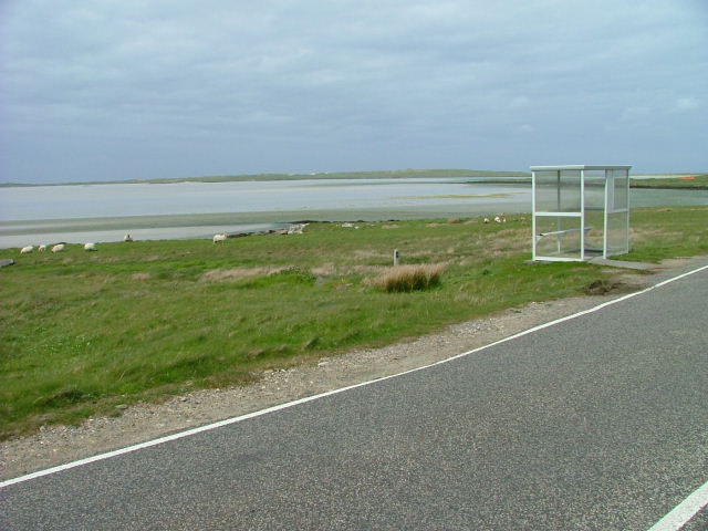
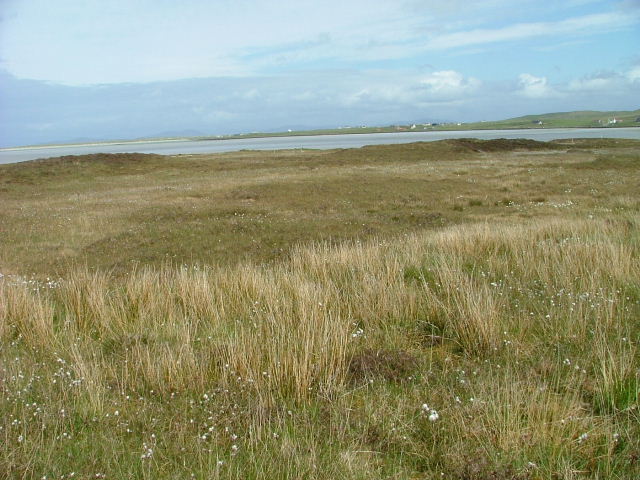
Eilean Dubh Mòr offers breathtaking views of the ocean and the surrounding coastline. Its elevated position provides a vantage point for observing the diverse marine life that thrives in these waters, such as seals, dolphins, and various seabird species. The headland also serves as a nesting site for seabirds, contributing to the area's ecological significance.

The coastal feature is accessible via a well-maintained footpath that winds along the cliffs, allowing visitors to explore its unique landscape. Its remote location and unspoiled nature make it a popular destination for nature enthusiasts, hikers, and photographers.

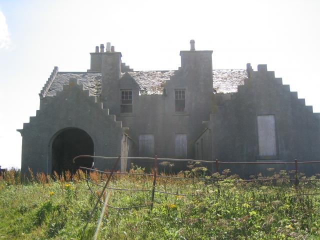
Eilean Dubh Mòr holds historical and cultural importance as well. It is believed to have been a site of ancient settlements and has remnants of archaeological interest. The headland's proximity to the sea made it a strategic location for fishermen and sailors throughout history.

Overall, Eilean Dubh Mòr stands as a captivating coastal feature, offering a combination of natural beauty, wildlife, and historical significance.

If you have any feedback on the listing, please let us know in the comments section below.

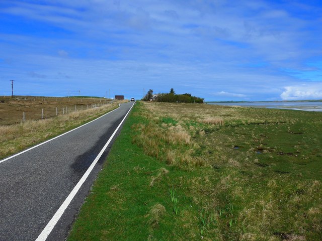
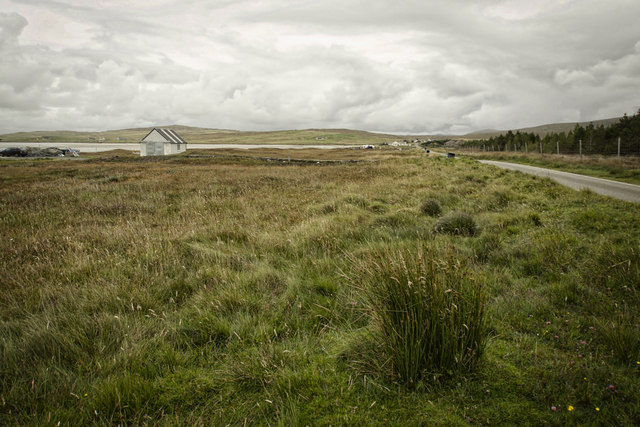
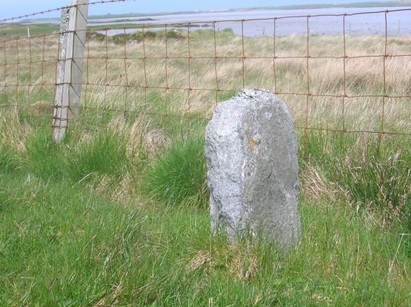
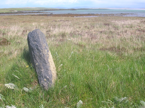
Eilean Dubh Mòr Images

Images are sourced within 2km of 57.645669/-7.4083295 or Grid Reference NF7774. Thanks to Geograph Open Source API. All images are credited.

On the straight and narrow Approaching Botarua, N Uist.  The extensive sands of Traigh Bhalaigh to the right.
On the straight and narrow
Approaching Botarua, N Uist. The extensive sands of Traigh Bhalaigh to the right.
Àird Glas
Àird Glas
Old Milestone by the A865, Claddach Vallay, North Uist Parish Granite slab by the A865, in parish of North Uist (North Uist District), Claddach Vallay, near houses at Botarua.

Surveyed

Milestone Society National ID: WI_NUCW13
Old Milestone by the A865, Claddach Vallay, North Uist Parish
Granite slab by the A865, in parish of North Uist (North Uist District), Claddach Vallay, near houses at Botarua. Surveyed Milestone Society National ID: WI_NUCW13
Old Milestone by the A865, Claddach-vallay, North Uist Granite slab by the A865, in parish of North Uist (North Uist District), Claddach-vallay, 100m Southeast of village sign.

Inscription not recorded.

Surveyed

Milestone Society National ID: WI_NUCW12
Old Milestone by the A865, Claddach-vallay, North Uist
Granite slab by the A865, in parish of North Uist (North Uist District), Claddach-vallay, 100m Southeast of village sign. Inscription not recorded. Surveyed Milestone Society National ID: WI_NUCW12
Loch na Gearrachun The tiny island is the site of a dun, whilst the stone causeway leading to it can just be seen to the right.
Loch na Gearrachun
The tiny island is the site of a dun, whilst the stone causeway leading to it can just be seen to the right.
Loch Fada na Gearrachun Small thin loch linked to its larger neighbour by a small channel.
Loch Fada na Gearrachun
Small thin loch linked to its larger neighbour by a small channel.
Road to Vallay This must be one of the longest fords in Britain.
Road to Vallay
This must be one of the longest fords in Britain.
Erskine Beveridge's house on Bhalaigh The abandoned house of the historian Erskine Beveridge.
Erskine Beveridge's house on Bhalaigh
The abandoned house of the historian Erskine Beveridge.
Traigh Bhalaigh The island of Vallay (Bhalaigh), is only accessible by foot at low tide. It is situated on the North of North Uist. The island itself has standing stones and remnants of ancient settlements and the crumbling ruins of Vallay House. This, once grand, building and several outhouses was owned by Erskine Beveridge, who contributed greatly to the archaeology of North Uist and wrote a weighty book on the subject.
Traigh Bhalaigh
The island of Vallay (Bhalaigh), is only accessible by foot at low tide. It is situated on the North of North Uist. The island itself has standing stones and remnants of ancient settlements and the crumbling ruins of Vallay House. This, once grand, building and several outhouses was owned by Erskine Beveridge, who contributed greatly to the archaeology of North Uist and wrote a weighty book on the subject.
Plantation entrance North Uist
Burn running through plantation, North Uist
Cairn on site of Aisled house
Tràigh Bhalaigh Known also as Vallay Strand
Tràigh Bhalaigh
Known also as Vallay Strand
Ceann a' Bháigh Looking northeast towards Machair Leathann.
Ceann a' Bháigh
Looking northeast towards Machair Leathann.
Bus Shelter by the Beach Overlooking Ceann a'Báigh.
Bus Shelter by the Beach
Overlooking Ceann a'Báigh.
Machair Looking towards Tràigh Bhàlaigh.
Machair
Looking towards Tràigh Bhàlaigh.
Struan Cottage and Traigh Bhalaigh Looking north-west across the bay from the A865. The ropes and stones on the roof help protect the thatch from high winds, which are very common around these parts.
Struan Cottage and Traigh Bhalaigh
Looking north-west across the bay from the A865. The ropes and stones on the roof help protect the thatch from high winds, which are very common around these parts.
Aird Mhic Caoilt Peninsula extending into the incredible vastness of Vallay Strand.
Aird Mhic Caoilt
Peninsula extending into the incredible vastness of Vallay Strand.
Show me another place!

Eilean Dubh Mòr is located at Grid Ref: NF7774 (Lat: 57.645669, Lng: -7.4083295)

Unitary Authority: Na h-Eileanan an Iar

Police Authority: Highlands and Islands

What 3 Words

///scrapped.loved.asleep. Near Lochmaddy, Na h-Eileanan Siar

Related Wikis

Vallay

Vallay (Scottish Gaelic: Bhàlaigh) is an uninhabited tidal island in the Scottish Outer Hebrides. It can be reached from North Uist by a long beach at...

Eilean Dòmhnuill

Ian Armit identifies the islet of Eilean Dòmhnuill (Scottish Gaelic: Eilean Dòmhnaill, Scottish Gaelic pronunciation: [elan ˈt̪õː.ɪʎ], "The Isle of Donald...

Sollas

Sollas (Scottish Gaelic: Solas) is a small crofting township on the northern coast of the island of North Uist, Scotland. == History == === The Battle... ===

RRH Benbecula

Remote Radar Head Benbecula or RRH Benbecula, is an air defence radar station operated by the Royal Air Force. It is located at Cleitreabhal a'Deas, 17...

Scolpaig Tower

Scolpaig Tower (also known as Dùn Scolpaig or MacLeod’s Folly) is a Georgian folly located near the village of Scolpaig on the island of North Uist in...

Scolpaig

Scolpaig (Scottish Gaelic: Sgolpaig) is a district on the north-west coast of the island of North Uist in the Outer Hebrides of Scotland. In 2018 it was...

Tigharry

Tigharry (Scottish Gaelic: Taigh a' Ghearraidh) is a small village on the west of North Uist. It is mostly a farming community. There are a few rocky beaches...

North Uist

North Uist (Scottish Gaelic: Uibhist a Tuath; Scots: North Uise) is an island and community in the Outer Hebrides of Scotland. == Etymology == In Donald...

Have you been to Eilean Dubh Mòr?

Leave your review of Eilean Dubh Mòr below (or comments, questions and feedback).