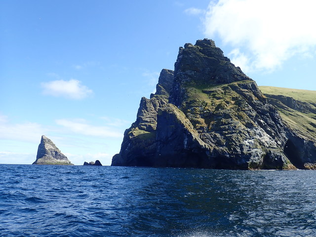
Rubha Langa
Coastal Feature, Headland, Point in Inverness-shire
Scotland
Rubha Langa
Rubha Langa is a prominent coastal feature located in Inverness-shire, Scotland. Situated on the western coast of the Scottish Highlands, it is a headland that juts out into the vast expanse of the North Atlantic Ocean. Its geographical coordinates are approximately 57.341°N latitude and 5.637°W longitude.
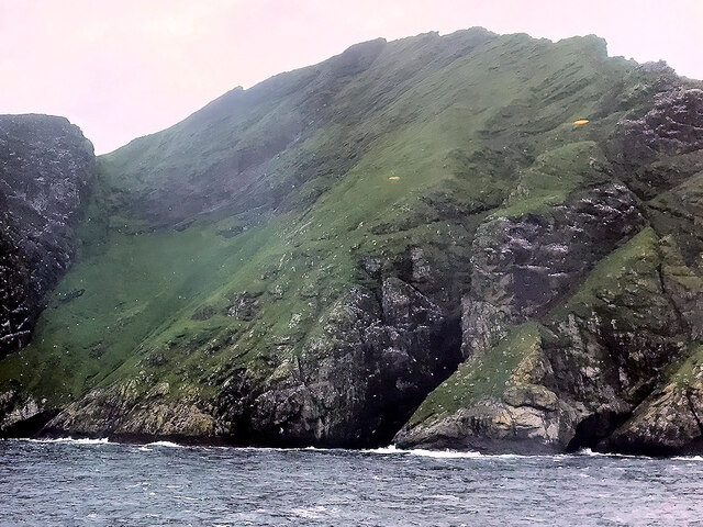
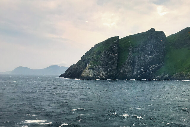
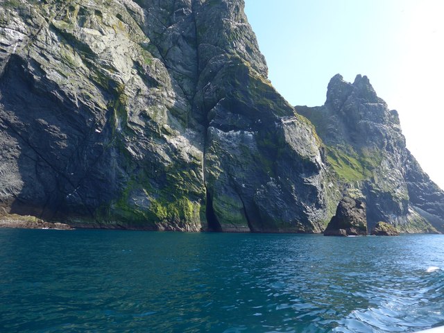
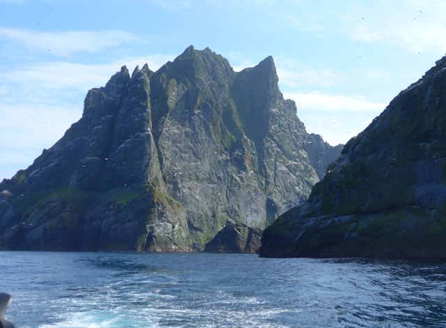
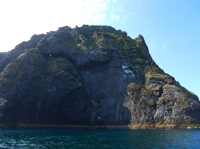
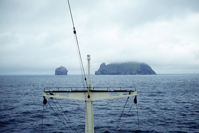
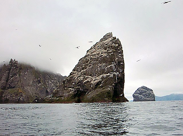
The headland offers breathtaking views of the surrounding landscape, with rugged cliffs that drop dramatically into the sea below. This dramatic topography is a result of millions of years of erosion by the powerful waves and winds of the Atlantic Ocean. The cliffs are composed of various types of rock formations, including sandstone and basalt, providing a diverse and visually striking landscape.
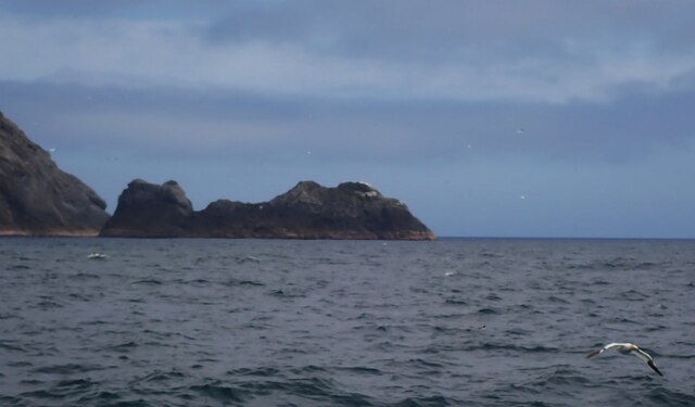
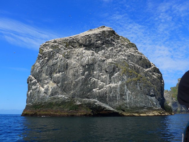
Rubha Langa is also home to a diverse array of wildlife. The coastal waters teem with marine life, including seals, dolphins, and various species of seabirds. Birdwatchers often visit the headland to catch a glimpse of puffins, gannets, and other seabirds that nest in the rocky cliffs.
The headland is accessible via a narrow road that winds its way along the coast, offering stunning panoramic views along the way. Visitors can explore the rugged coastline on foot, following paths that lead to secluded coves and hidden beaches. It is a popular spot for outdoor enthusiasts, offering opportunities for hiking, photography, and wildlife observation.
Overall, Rubha Langa is a picturesque and captivating headland in Inverness-shire. Its dramatic cliffs, diverse wildlife, and breathtaking views make it a must-visit destination for nature lovers and those seeking to experience the raw beauty of the Scottish coastline.
If you have any feedback on the listing, please let us know in the comments section below.
Rubha Langa Images
Images are sourced within 2km of 57.866373/-8.5115254 or Grid Reference NA1404. Thanks to Geograph Open Source API. All images are credited.

Rubha Langa is located at Grid Ref: NA1404 (Lat: 57.866373, Lng: -8.5115254)
Unitary Authority: Na h-Eileanan an Iar
Police Authority: Highlands and Islands
What 3 Words
///conspired.prestige.geek. Near Balivanich, Na h-Eileanan Siar
Nearby Locations
Related Wikis

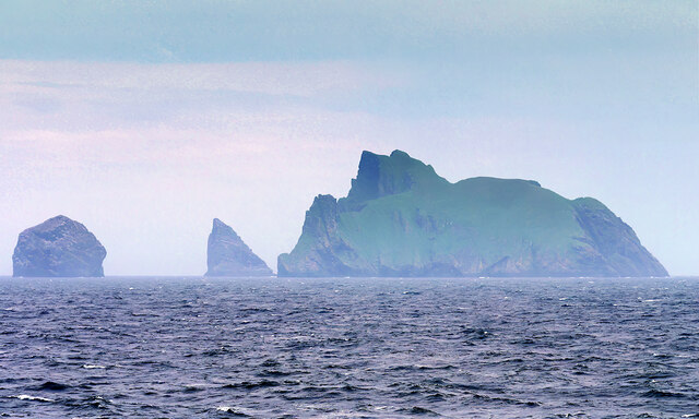
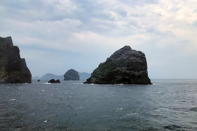
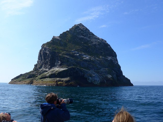
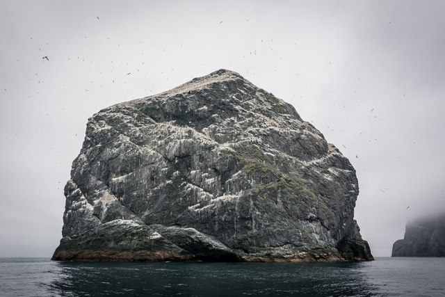
Stac Lee
Stac Lee (Scottish Gaelic: Stac Lì) is a sea stack in the St Kilda group off the west coast of Scotland. An island Marilyn (a point with topographic prominence...

Boreray, St Kilda
Boreray (Scottish Gaelic: Boraraigh; Scots: Boreray) is an uninhabited island in the St Kilda archipelago in the North Atlantic. == Geography == Boreray...
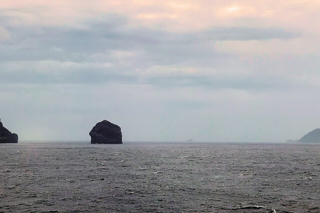
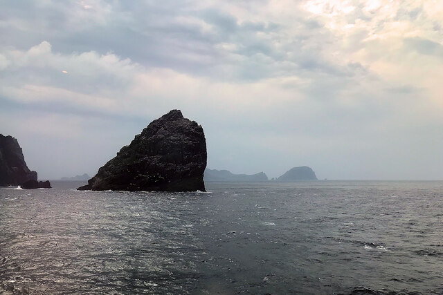
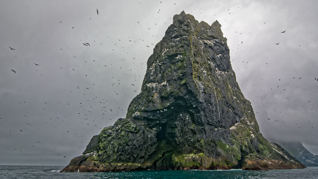
Stac an Armin
Stac an Armin (Scottish Gaelic: Stac an Àrmainn), based on the proper Scottish Gaelic spelling (formerly àrmuinn), is a sea stack in the St Kilda archipelago...

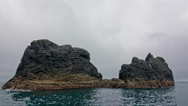
St Kilda, Scotland
St Kilda (Scottish Gaelic: Hiort) is an isolated archipelago situated 64 kilometres (40 mi) west-northwest of North Uist in the North Atlantic Ocean. It...
Nearby Amenities
Located within 500m of 57.866373,-8.5115254Have you been to Rubha Langa?
Leave your review of Rubha Langa below (or comments, questions and feedback).