Surlingham Fleet
Sea, Estuary, Creek in Norfolk South Norfolk
England
Surlingham Fleet

Surlingham Fleet is a tidal tributary located in the county of Norfolk, England. It is situated approximately 10 miles southeast of the city of Norwich. The Fleet is formed by the confluence of two smaller watercourses, the River Chet and the River Yare, and flows in a south-easterly direction before eventually joining the larger River Yare.
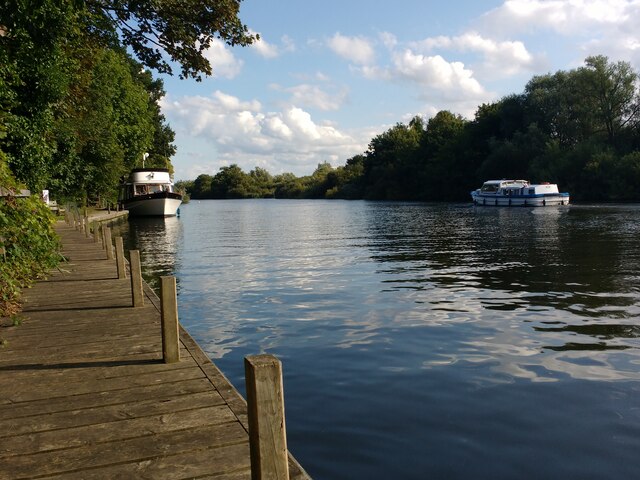
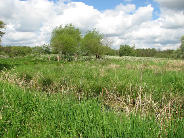
Surlingham Fleet is an important part of the Norfolk Broads, a network of rivers, lakes, and marshes that make up one of the UK's most significant wetland areas. The fleet itself is characterized by its tidal nature, with water levels rising and falling in response to the ebb and flow of the nearby North Sea.
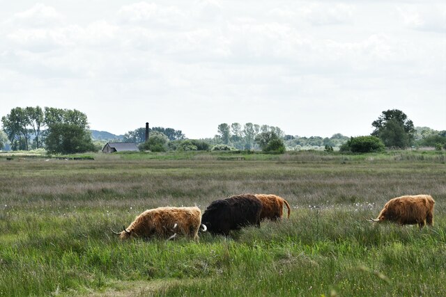
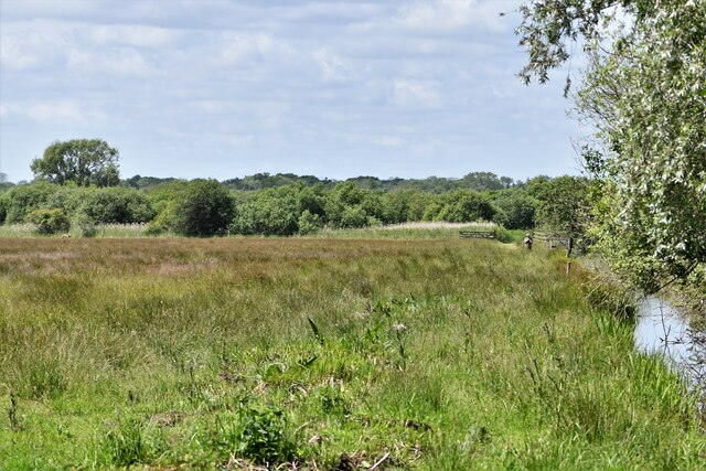
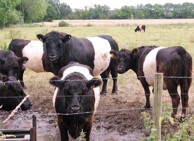
The surrounding landscape is predominantly marshland and fen, providing a habitat for a diverse range of plant and animal species. The fleet is particularly noted for its birdlife, with species such as marsh harriers, bitterns, and kingfishers commonly spotted in the area.
The fleet is also a popular destination for boating and fishing enthusiasts. Its calm waters and picturesque surroundings make it an ideal place to explore by boat, either through self-guided trips or organized tours. Anglers are often drawn to the fleet to try their luck at catching a variety of freshwater fish, including perch, pike, and roach.
Overall, Surlingham Fleet offers visitors a unique opportunity to experience the beauty of Norfolk's wetlands, with its diverse wildlife, tranquil waters, and stunning natural surroundings.
If you have any feedback on the listing, please let us know in the comments section below.
Surlingham Fleet Images
Images are sourced within 2km of 52.614428/1.4312335 or Grid Reference TG3207. Thanks to Geograph Open Source API. All images are credited.


Surlingham Fleet is located at Grid Ref: TG3207 (Lat: 52.614428, Lng: 1.4312335)
Administrative County: Norfolk
District: South Norfolk
Police Authority: Norfolk
What 3 Words
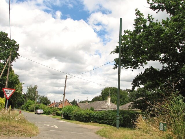
///staple.readers.ambushed. Near Brundall, Norfolk
Nearby Locations
Related Wikis
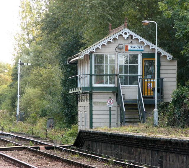
Brundall signal box
Brundall signal box is a Grade II listed former Great Eastern Railway signal box on Brundall railway station in Norfolk, England. Located on the Wherry...
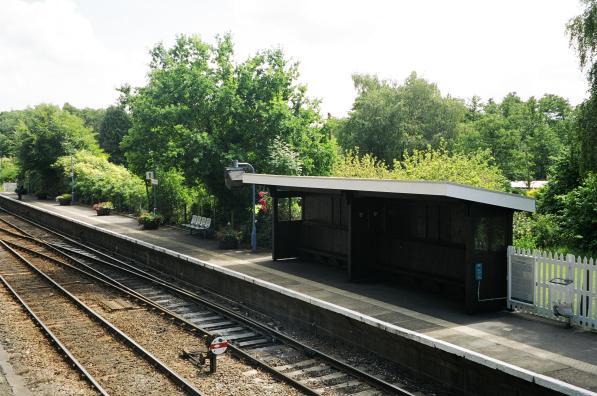
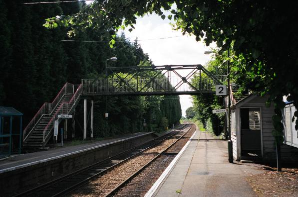
Brundall railway station
Brundall railway station is on the Wherry Lines in the east of England, serving the village of Brundall, Norfolk. It is 5 miles 60 chains (9.3 km) down...

Lesingham House
Lesingham House is a country house in Surlingham, Norfolk, England, part of which was supposedly built in 1655. == History == Lesingham House was supposedly...

Brundall
Brundall is a village and civil parish in the English county of Norfolk. It is located on the north bank of the River Yare opposite Surlingham Broad and...
Brundall Gardens railway station
Brundall Gardens railway station is on the Wherry Lines in the East of England, serving the western side of the village of Brundall, Norfolk. It is 4 miles...

Surlingham
Surlingham is a village and civil parish in the South Norfolk district of Norfolk situated on the Broads in eastern United Kingdom. It lies approximately...
Surlingham Church Marsh RSPB reserve
Surlingham Church Marsh is a small RSPB nature reserve in the Norfolk Broads, England. It is part of Yare Broads and Marshes Site of Special Scientific...

Yare Broads and Marshes
Yare Broads and Marshes is a 744.5-hectare (1,840-acre) biological Site of Special Scientific Interest east of Norwich in Norfolk, England. Part of the...
Nearby Amenities
Located within 500m of 52.614428,1.4312335Have you been to Surlingham Fleet?
Leave your review of Surlingham Fleet below (or comments, questions and feedback).