Gallister Creek
Sea, Estuary, Creek in Suffolk Babergh
England
Gallister Creek
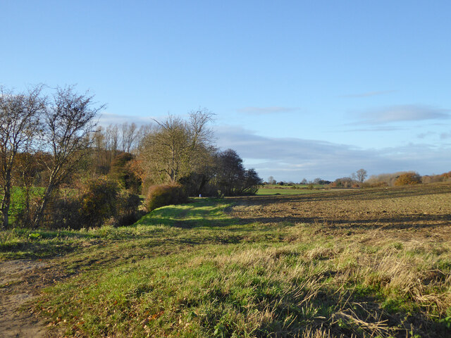
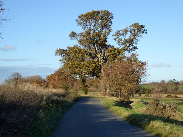
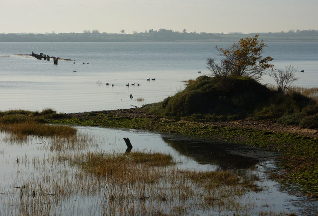
Gallister Creek is a small tidal creek located in Suffolk, England. It is a tributary of the River Orwell and flows into the North Sea. The creek is approximately 3 miles long and meanders through marshland and mudflats before reaching the sea.
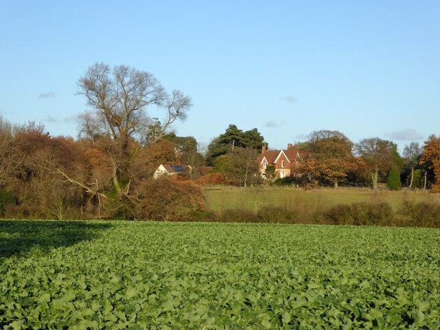
Gallister Creek is a popular spot for birdwatching and wildlife enthusiasts, as the surrounding wetlands provide a habitat for a variety of bird species, including wading birds, waterfowl, and shorebirds. The creek is also home to a diverse range of marine life, such as crabs, fish, and shellfish.
The tidal nature of Gallister Creek means that the water levels fluctuate throughout the day, creating a dynamic and ever-changing landscape. At high tide, the creek is filled with water, while at low tide, the mudflats are exposed, providing feeding grounds for various species of birds and marine life.
Overall, Gallister Creek is a peaceful and picturesque location, offering visitors the chance to experience the beauty of a natural estuarine environment and observe a wide range of wildlife in its natural habitat.
If you have any feedback on the listing, please let us know in the comments section below.
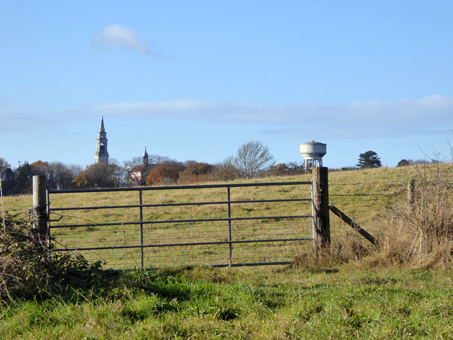
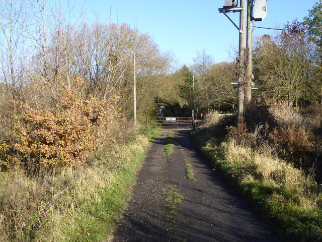
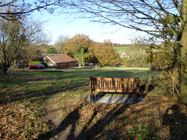
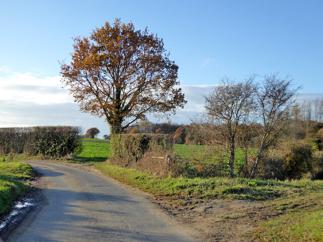
Gallister Creek Images
Images are sourced within 2km of 51.958165/1.1770228 or Grid Reference TM1833. Thanks to Geograph Open Source API. All images are credited.


Gallister Creek is located at Grid Ref: TM1833 (Lat: 51.958165, Lng: 1.1770228)
Administrative County: Suffolk
District: Babergh
Police Authority: Suffolk
What 3 Words
///unspoiled.foggy.compiled. Near Holbrook, Suffolk
Nearby Locations
Related Wikis
Stour Estuary
Stour Estuary is a 2,523 hectare biological and geological Site of Special Scientific Interest which stretches from Manningtree to Harwich in Essex and...

Harkstead
Harkstead is a village and civil parish in the county of Suffolk, England. The village is located on the northern bank of the River Stour estuary at Holbrook...

Wrabness railway station
Wrabness railway station is on the Mayflower Line, a branch of the Great Eastern Main Line in the East of England, serving the village of Wrabness, Essex...

Wrabness
Wrabness is a small village and civil parish near Manningtree, Essex, England. The village is located six miles (10 km) west of Harwich. Wrabness railway...
Related Videos
Wild Camping - Back to Basics, Introduction into Budget Wild Camping, Part 2
Due to the current UK travel restrictions the interest in camping & especially wild camping has increased dramatically this year.

Wild Camping - Back to Basics, Introduction into Budget Wild Camping, Part 3
Due to the current UK travel restrictions the interest in camping & especially wild camping has increased dramatically this year.

Wild Camping - Back to Basics, Introduction into Budget Wild Camping, Part 1
Due to the current UK travel restrictions the interest in camping & especially wild camping has increased dramatically this year.

A House for Essex?
The Essex version of the Taj Mahal? A memorial for a Essex Lady.... or is it? Join me as I visit Greyson Perry's House for Essex.
Have you been to Gallister Creek?
Leave your review of Gallister Creek below (or comments, questions and feedback).