Foxhall Fleet

Sea, Estuary, Creek in Suffolk Babergh

England

Foxhall Fleet

Churchfield Road, Stutton From Stutton Green to Lower Street.
Churchfield Road, Stutton Credit: Robin Webster

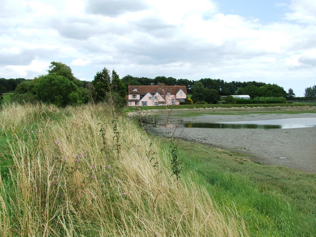
Foxhall Fleet is a small water body located in the county of Suffolk, England. Situated on the eastern coast of the country, it consists of a sea, estuary, and creek, making it a diverse and scenic location.

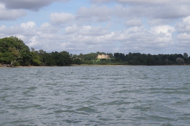
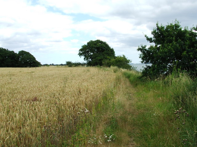
The sea part of Foxhall Fleet offers stunning views of the North Sea, with its vast expanse of blue waters stretching out into the horizon. The crashing waves and cool sea breeze make it a popular spot for beachgoers and water sports enthusiasts. The sandy shores provide an ideal setting for sunbathing and picnicking, attracting visitors throughout the year.

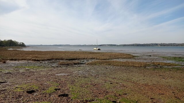
The estuary of Foxhall Fleet is a picturesque area where the freshwater meets the sea. It is characterized by its calm waters and beautiful wetlands, which serve as a habitat for various bird species. The estuary is a haven for birdwatchers, who flock to the area to catch a glimpse of rare and migratory birds. The tranquil atmosphere and scenic beauty make it a peaceful escape from the hustle and bustle of city life.

The creek of Foxhall Fleet is a narrow waterway that winds through the surrounding countryside, offering a peaceful and idyllic setting. It is lined with lush greenery and is a haven for wildlife, including ducks, swans, and other water-dwelling creatures. The creek is popular among kayakers and boating enthusiasts, who can explore its calm waters and enjoy the serene surroundings.

In conclusion, Foxhall Fleet in Suffolk is a diverse and captivating water body that encompasses a sea, estuary, and creek. Its stunning natural beauty, abundant wildlife, and recreational activities make it a popular destination for nature lovers and outdoor enthusiasts.

If you have any feedback on the listing, please let us know in the comments section below.

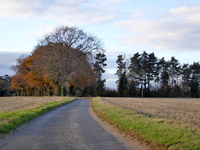
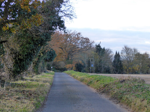
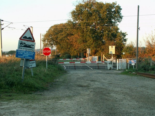
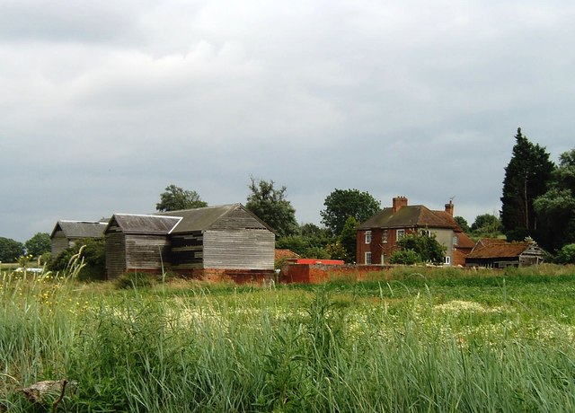
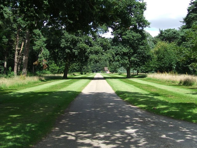
Foxhall Fleet Images

Images are sourced within 2km of 51.952201/1.12468 or Grid Reference TM1432. Thanks to Geograph Open Source API. All images are credited.

Churchfield Road, Stutton From Stutton Green to Lower Street.
Churchfield Road, Stutton
From Stutton Green to Lower Street.
Churchfield Road, Stutton From Stutton Green to Lower Street.
Churchfield Road, Stutton
From Stutton Green to Lower Street.
Boat on the River Stour A sailboat on the River Stour at low tide.
Boat on the River Stour
A sailboat on the River Stour at low tide.
Maritime woodland at Stutton in Suffolk On the north side of the Stour estuary ancient trees overhang salt water
Maritime woodland at Stutton in Suffolk
On the north side of the Stour estuary ancient trees overhang salt water
Stutton ness The ancient oaks of Stutton ness dip their boughs in the salty waters of the Stour estuary.
Stutton ness
The ancient oaks of Stutton ness dip their boughs in the salty waters of the Stour estuary.
Railway Crossing Nether Hall is the only place on the other side of this crossing, which is the northern side.
Railway Crossing
Nether Hall is the only place on the other side of this crossing, which is the northern side.
The B.1352 at Bradfield This section of the road is known as Ship Hill.
The B.1352 at Bradfield
This section of the road is known as Ship Hill.
Ragmarsh Farm, Bradfield Taken from the Essex Way footpath.
Ragmarsh Farm, Bradfield
Taken from the Essex Way footpath.
Jacques Bay, Bradfield The gridsquare extends roughly as far as the post that can be seen rising out of the water. Taken from the Essex Way footpath looking across the Stour towards Suffolk.
Jacques Bay, Bradfield
The gridsquare extends roughly as far as the post that can be seen rising out of the water. Taken from the Essex Way footpath looking across the Stour towards Suffolk.
Essex Way footpath between Bradfield - Wrabness
Railway bridge between Mistley - Wrabness The railway is the line from Manningtree to Harwich. The River Stour can be seen in the distance. Taken from the Essex Way footpath.
Railway bridge between Mistley - Wrabness
The railway is the line from Manningtree to Harwich. The River Stour can be seen in the distance. Taken from the Essex Way footpath.
Well Kept Drive A well kept drive from Stutton Park near to Stutton Suffolk.
Well Kept Drive
A well kept drive from Stutton Park near to Stutton Suffolk.
Not on the 1:50:000 This small spit of shore is not marked on the 1:50:000 for this square but is on the 1:25:000 and on the ground.
Not on the 1:50:000
This small spit of shore is not marked on the 1:50:000 for this square but is on the 1:25:000 and on the ground.
Suffolk Coastal & Heaths Path Looking east along the Suffolk Coastal & Heaths path near to Cattawade Suffolk.
Suffolk Coastal & Heaths Path
Looking east along the Suffolk Coastal & Heaths path near to Cattawade Suffolk.
Stutton Mill Stutton Mill on the Suffolk Coastal & Heaths Path near to Stutton Suffolk.
Stutton Mill
Stutton Mill on the Suffolk Coastal & Heaths Path near to Stutton Suffolk.
Stilt houses at Wrabness Point A long line of houses like these stand snugly side by side beside the Stour at Wrabness Point.  Presumably floor level is above the highest tides.
Stilt houses at Wrabness Point
A long line of houses like these stand snugly side by side beside the Stour at Wrabness Point. Presumably floor level is above the highest tides.
Fawltily towering on stilts Perhaps a John Cleese fan named this riverside home at Wrabness Point.
Fawltily towering on stilts
Perhaps a John Cleese fan named this riverside home at Wrabness Point.
Panorama of stilt houses at Wrabness Point The mud and sand in the foreground stretch for miles along the Stour estuary, which is more of an inlet of the sea than a river outlet since the river itself is dammed at Cattawade <a href="https://www.geograph.org.uk/photo/229062">TM0932 : White Bridge</a>, downstream from Flatford <a href="https://www.geograph.org.uk/photo/450781">TM0733 : Flatford - Lock and "Automatic Gate"</a>'  As a result,  the seaward flow is small as a proportion of the water is extracted at Cattawade for domestic use as drinking water.  Only here, though, is there a stilt village - a rare phenomenon in Britain where planning laws severely restrict such developments.
Panorama of stilt houses at Wrabness Point
The mud and sand in the foreground stretch for miles along the Stour estuary, which is more of an inlet of the sea than a river outlet since the river itself is dammed at Cattawade TM0932 : White Bridge, downstream from Flatford TM0733 : Flatford - Lock and "Automatic Gate"' As a result, the seaward flow is small as a proportion of the water is extracted at Cattawade for domestic use as drinking water. Only here, though, is there a stilt village - a rare phenomenon in Britain where planning laws severely restrict such developments.
Show me another place!

Foxhall Fleet is located at Grid Ref: TM1432 (Lat: 51.952201, Lng: 1.12468)

Administrative County: Suffolk

District: Babergh

Police Authority: Suffolk

What 3 Words

///grasp.hedge.guard. Near Mistley, Essex

Related Wikis

Bradfield railway station

Bradfield railway station served the village of Bradfield in Essex. It was on the Manningtree to Harwich branch line, which is today known as The Mayflower...

Wrabness Nature Reserve

Wrabness Nature Reserve is a 27 hectare Local Nature Reserve on the south bank of the River Stour, west of Wrabness in Essex. It is managed by the Essex...

Bradfield, Essex

Bradfield is a village and civil parish in Essex, England. It is located about 3 miles (5 km) east of Manningtree and is 31 miles (50 km) northeast from...

Stutton, Suffolk

Stutton is a small village and a civil parish approximately seven miles south of Ipswich in Suffolk, United Kingdom, on the Shotley peninsula. The village...

Nearby Amenities

Located within 500m of 51.952201,1.12468
Seamark Buoy Lateral Category: starboard
Seamark Buoy Lateral Colour: green
Seamark Buoy Lateral Shape: conical
Seamark Buoy Lateral System: iala-a
Seamark Light Character: Q
Seamark Light Colour: green
Seamark Name: No. 7
Seamark Type: buoy_lateral
Lat/Long: 51.9493802/1.1216839
The data included in this document is from www.openstreetmap.org. The data is made available under ODbL.

Have you been to Foxhall Fleet?

Leave your review of Foxhall Fleet below (or comments, questions and feedback).