Bull Bar's Creek
Sea, Estuary, Creek in Essex Maldon
England
Bull Bar's Creek

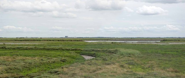
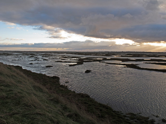
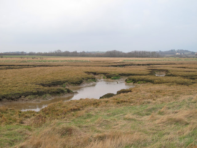
Bull Bar's Creek is a picturesque waterway located in the county of Essex, England. Situated in the eastern part of the county, Bull Bar's Creek is an estuary comprised of a small sea inlet and a winding creek, making it a unique and diverse natural feature.
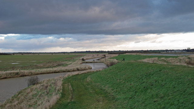
The creek itself is narrow and meandering, with gentle currents that ebb and flow with the tides. Lined with lush vegetation and reeds, Bull Bar's Creek is home to a variety of wildlife, including fish, crustaceans, and birds. The creek provides an ideal habitat for wading birds, such as herons and egrets, as well as smaller species like kingfishers and warblers. With its calm waters and peaceful surroundings, the creek is a popular spot for birdwatchers and nature enthusiasts.
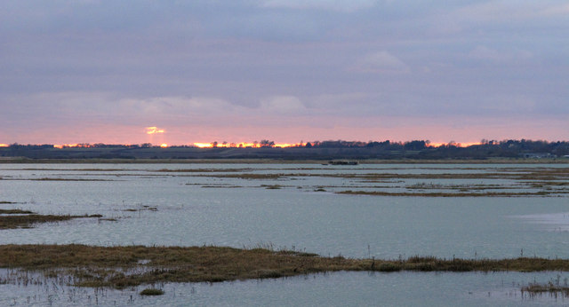
The estuary, which connects the creek to the sea, is wider and more open, providing a stunning view of the expansive waters. The estuary is influenced by the tides and experiences a constant ebb and flow, creating a dynamic environment. It is not uncommon to see sailing boats and small fishing vessels navigating the estuary, taking advantage of the favorable conditions.
Bull Bar's Creek is also a favored destination for leisure activities such as kayaking and paddleboarding. Its calm waters and scenic surroundings make it an ideal location for people to enjoy recreational water sports.
Overall, Bull Bar's Creek in Essex is a beautiful and diverse natural feature, offering a unique blend of sea, estuary, and creek environments. Whether it is for birdwatching, boating, or simply enjoying the peaceful ambiance, this picturesque location is a hidden gem within the Essex countryside.
If you have any feedback on the listing, please let us know in the comments section below.
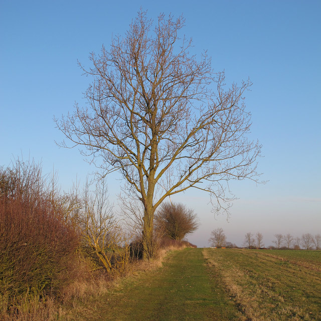
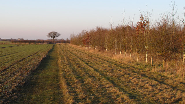
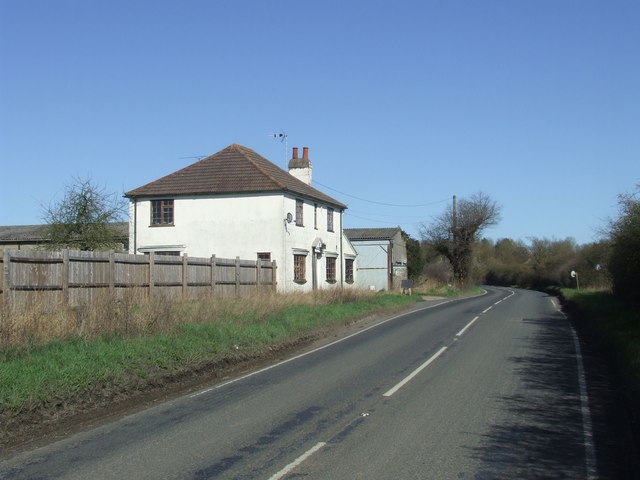
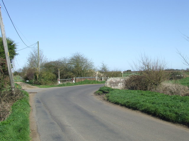
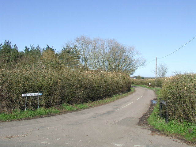
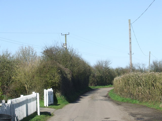
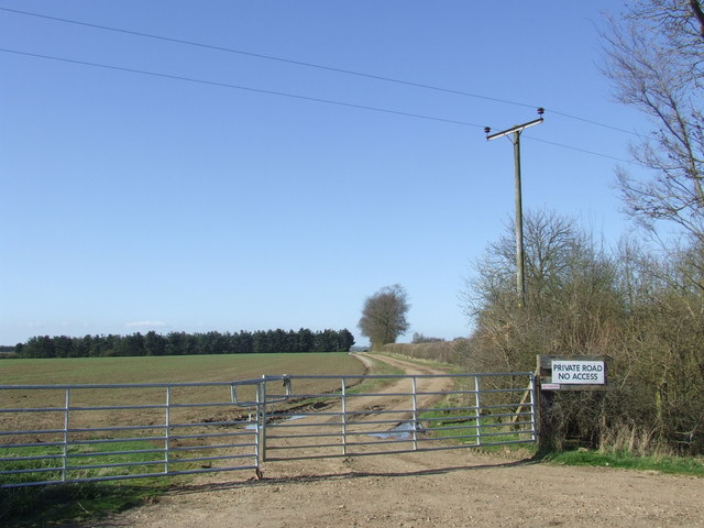
Bull Bar's Creek Images
Images are sourced within 2km of 51.781381/0.84484857 or Grid Reference TL9613. Thanks to Geograph Open Source API. All images are credited.

Bull Bar's Creek is located at Grid Ref: TL9613 (Lat: 51.781381, Lng: 0.84484857)
Administrative County: Essex
District: Maldon
Police Authority: Essex
What 3 Words
///toothpick.craters.bike. Near Tollesbury, Essex
Nearby Locations
Related Wikis

Salcott
Salcott or Salcott cum Virley is a village and civil parish in the Colchester borough of Essex, England, and forms part of the Winstred Hundred grouped...

Virley
Virley is a village and civil parish in the Colchester borough of Essex, England and forms part of the Winstred Hundred grouped parish council. According...

Abbotts Hall Farm
Abbotts Hall Farm is a 282 hectare nature reserve in Great Wigborough in Essex. It is the head office of the Essex Wildlife Trust, which manages the site...

Great Wigborough
Great Wigborough is a village and former civil parish, now in the parish of Great and Little Wigborough in the Colchester borough of Essex, England. The...
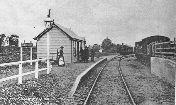
Tollesbury railway station
Tollesbury railway station was on the Kelvedon and Tollesbury Light Railway, serving the village of Tollesbury, Essex. The station was 8 miles 42 chains...

Tollesbury
Tollesbury is a village in England, located on the Essex coast at the mouth of the River Blackwater. It is situated nine miles east of the historic port...
Great and Little Wigborough
Great and Little Wigborough is a civil parish in the City of Colchester district of Essex, England, about 6 miles (10 km) from Colchester. The parish includes...

Woodup Pool
Woodup Pool in Tollesbury, Essex (also known as Woodrolfe Pool) is a salt-water pond or lake used as an open-air swimming pool or amenity pool. == History... ==
Nearby Amenities
Located within 500m of 51.781381,0.84484857Have you been to Bull Bar's Creek?
Leave your review of Bull Bar's Creek below (or comments, questions and feedback).