Bill Meroy Creek
Sea, Estuary, Creek in Essex
England
Bill Meroy Creek
Bill Meroy Creek is a picturesque waterway located in Essex, England. It is a tributary of the River Blackwater and is nestled between the towns of Maldon and Heybridge.
This creek is primarily known for its stunning natural beauty and diverse wildlife. It is an estuary, where the river meets the sea, creating a unique and dynamic ecosystem. The creek is characterized by its meandering channels, mudflats, and salt marshes, providing a haven for various bird species, including waders, ducks, and geese. Birdwatchers flock to the area to observe these fascinating creatures in their natural habitat.
The creek is also a popular spot for boating enthusiasts, with many small boats and yachts sailing along its calm waters. The sheltered nature of the creek makes it an ideal location for water sports such as kayaking, paddleboarding, and fishing.
The surrounding landscape of Bill Meroy Creek is a combination of open fields, woodlands, and marshes, offering visitors a chance to explore and appreciate the diverse flora and fauna. The area is home to a wide range of plant species, including sea lavender, sea aster, and samphire.
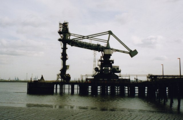
In addition to its natural beauty, Bill Meroy Creek has a rich history. The creek was once a hub of industrial activity, with several mills and factories lining its banks. Today, remnants of these industrial structures can still be seen, adding an interesting historical element to the area.
Overall, Bill Meroy Creek is a stunning and diverse waterway that offers visitors a chance to immerse themselves in nature, explore its rich history, and engage in a variety of recreational activities.
If you have any feedback on the listing, please let us know in the comments section below.
Bill Meroy Creek Images
Images are sourced within 2km of 51.45427/0.37905742 or Grid Reference TQ6575. Thanks to Geograph Open Source API. All images are credited.


Bill Meroy Creek is located at Grid Ref: TQ6575 (Lat: 51.45427, Lng: 0.37905742)
Unitary Authority: Thurrock
Police Authority: Essex
What 3 Words
///admire.shell.short. Near Gravesend, Kent
Nearby Locations
Related Wikis

Bill Meroy Creek
Bill Meroy Creek is a small waterway flowing into the Thames to the east of Tilbury Fort in West Tilbury which from 1851 marked the eastern boundary of...
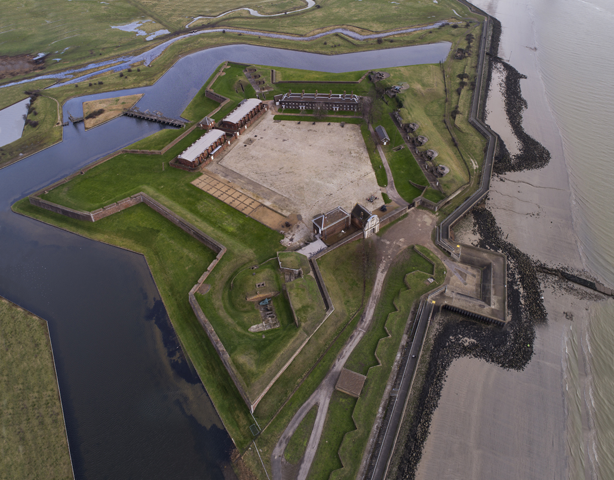
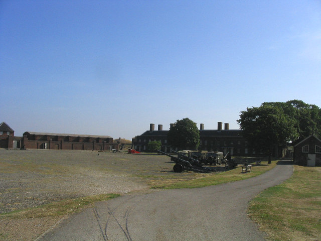
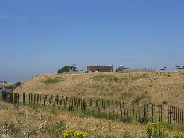
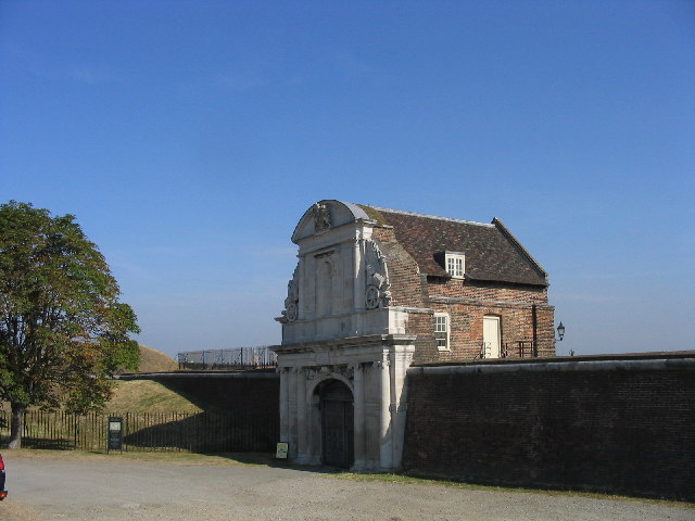
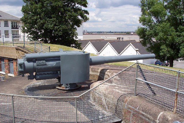
Tilbury Fort
Tilbury Fort, also known historically as the Thermitage Bulwark and the West Tilbury Blockhouse, is an artillery fort on the north bank of the River Thames...
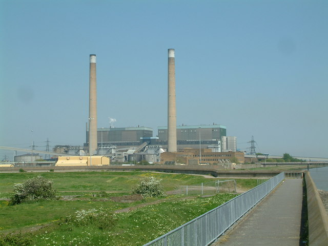
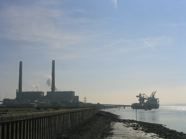
Tilbury power stations
The Tilbury power stations were two thermal power stations on the north bank of the River Thames at Tilbury in Essex. The 360 MW dual coal- and oil-fired...
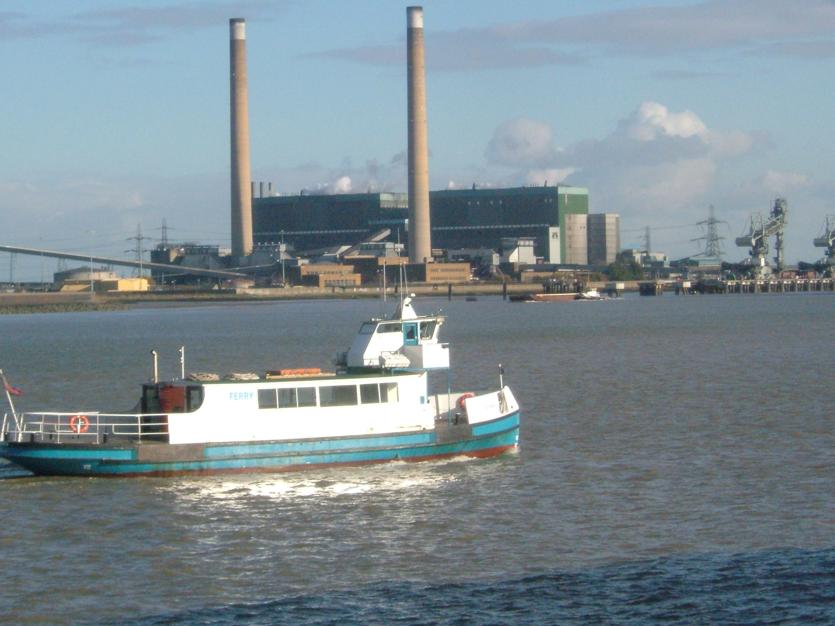
Gravesend–Tilbury Ferry
The Gravesend–Tilbury Ferry is a passenger ferry across the River Thames east of London. It is the last public crossing point before the Thames reaches...
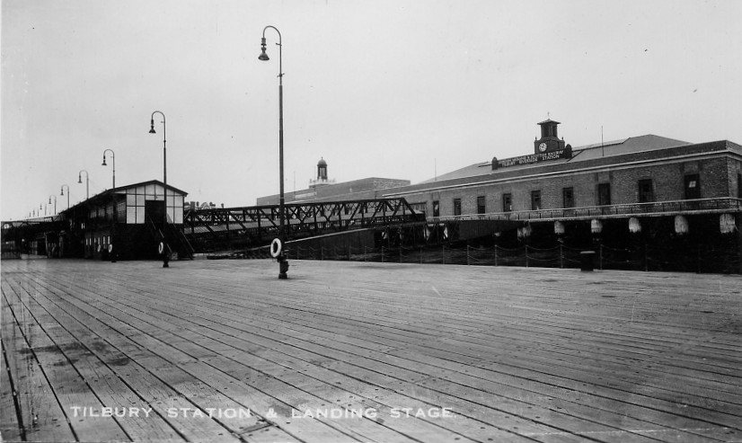
Tilbury Riverside railway station
Tilbury Riverside railway station is a closed railway station located in the town of Tilbury in the borough and unitary authority of Thurrock in Essex...

Royal Terrace Pier
Royal Terrace Pier is owned and managed by the Port of London Authority (PLA) and is located adjacent to their headquarters at London River House in Gravesend...
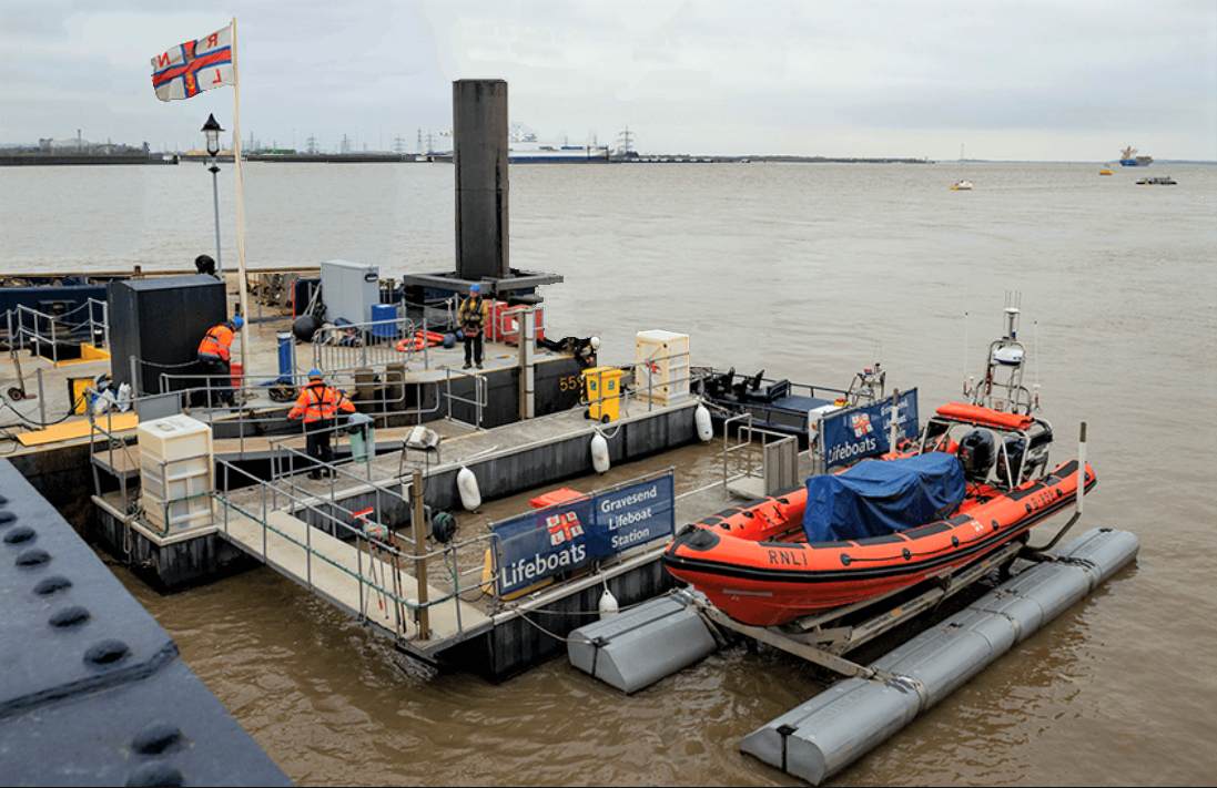
Gravesend Lifeboat Station
Gravesend Lifeboat Station is situated on the Royal Terrace Pier in Gravesend, Kent, on the lower reaches of the River Thames. It is one of the newest...

Port of London Authority
The Port of London Authority (PLA) is a self-funding public trust established on 31 March 1909 in accordance with the Port of London Act 1908 to govern...
Nearby Amenities
Located within 500m of 51.45427,0.37905742Have you been to Bill Meroy Creek?
Leave your review of Bill Meroy Creek below (or comments, questions and feedback).