Barking Creek
Sea, Estuary, Creek in Essex
England
Barking Creek

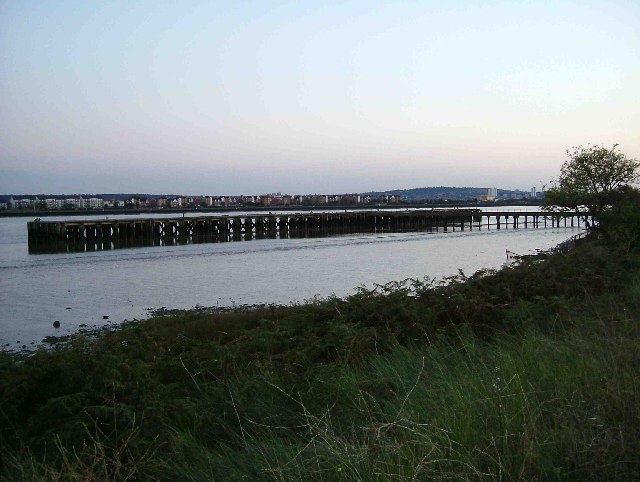
Barking Creek is a tidal creek located in the county of Essex, England. It is situated in the eastern part of the county, near the town of Barking. The creek is formed by the confluence of two rivers - the River Roding and the River Thames.
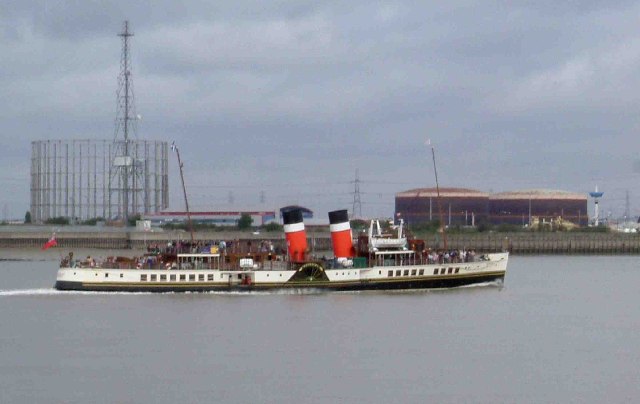
As a tidal creek, Barking Creek experiences significant variations in water levels throughout the day due to the ebb and flow of the tides. This makes it an estuary, where freshwater from the rivers mixes with seawater from the North Sea. The creek stretches approximately 6 kilometers inland, providing a navigable channel for ships and boats.
Barking Creek is an important natural feature in the area, supporting a diverse ecosystem of plants and animals. Its mudflats and salt marshes provide habitats for various bird species, including wading birds and waterfowl. The creek also supports a variety of fish species, such as flounder, bass, and eel, making it a popular spot for fishing enthusiasts.
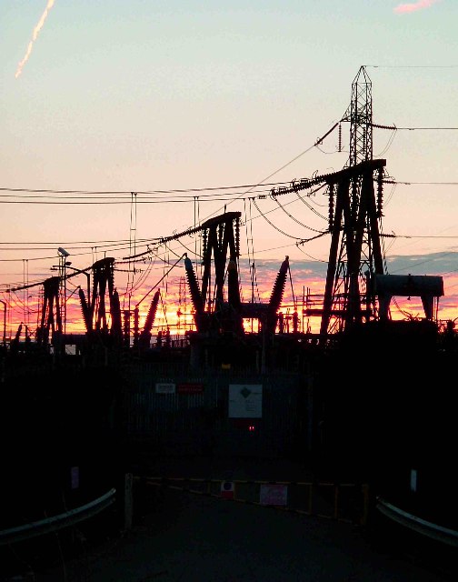
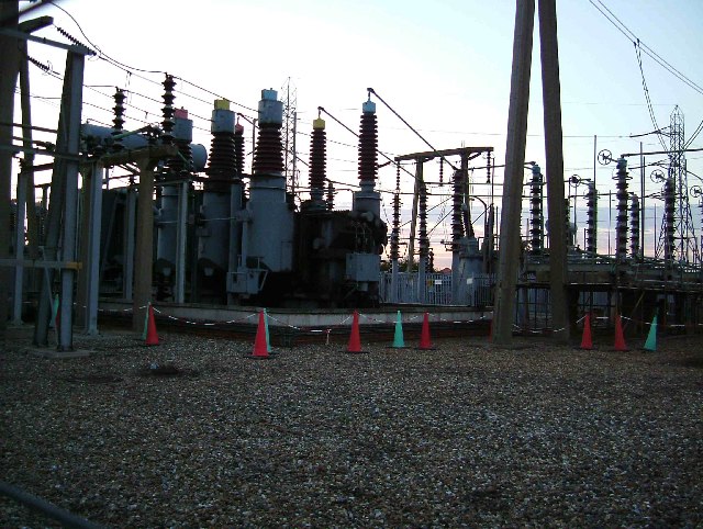
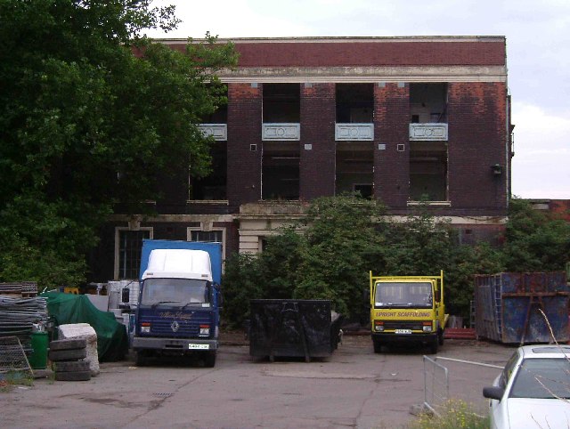
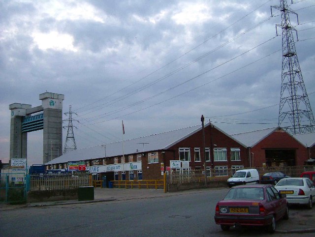
The creek has historically played a significant role in the region's economy, serving as a transportation route for goods and providing a location for industrial activities. Over the years, several docks and wharves have been established along its banks, facilitating trade and commerce.
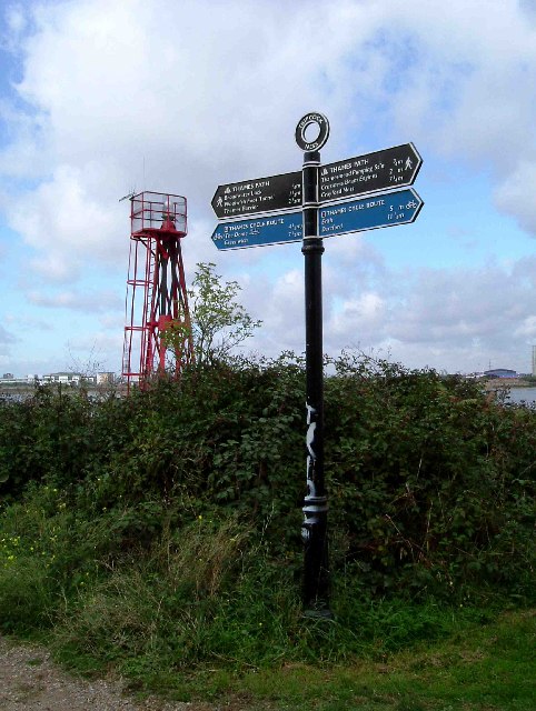
Today, Barking Creek continues to be a vital part of the local community, offering recreational opportunities for residents and visitors alike. Its scenic beauty, combined with its ecological importance, makes it a popular destination for boating, birdwatching, and leisurely walks along its banks.
If you have any feedback on the listing, please let us know in the comments section below.
Barking Creek Images
Images are sourced within 2km of 51.52359/0.092257672 or Grid Reference TQ4582. Thanks to Geograph Open Source API. All images are credited.


Barking Creek is located at Grid Ref: TQ4582 (Lat: 51.52359, Lng: 0.092257672)
Unitary Authority: Newham
Police Authority: Metropolitan
What 3 Words
///gazed.never.quench. Near Barking, London
Nearby Locations
Related Wikis
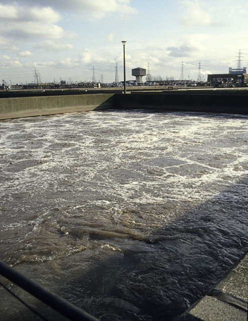
Beckton Sewage Treatment Works
Beckton Sewage Treatment Works, formerly known as Barking Sewage Works, is a large sewage treatment plant in Beckton in the east London Borough of Newham...
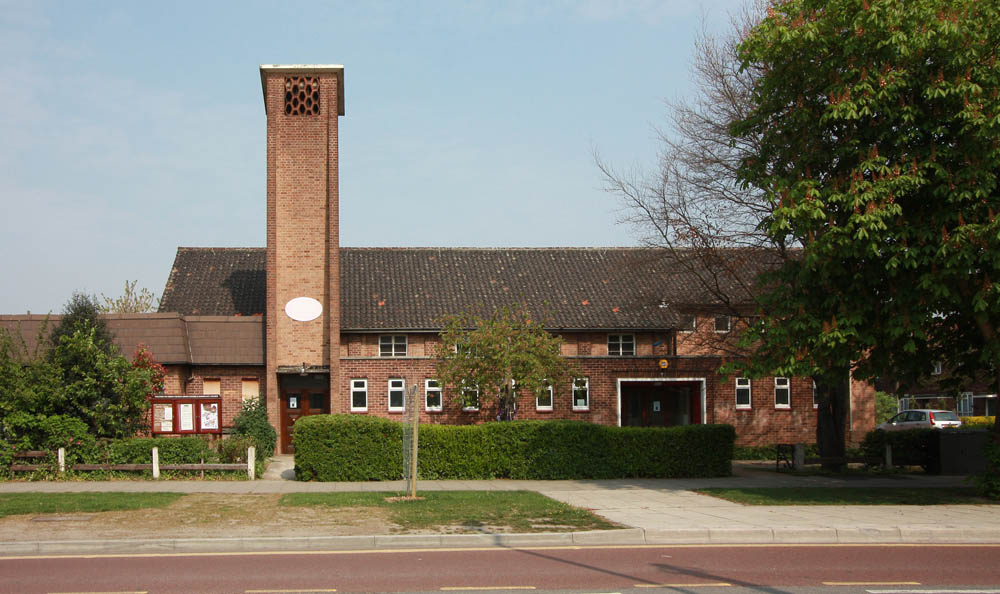
Christ Church, Barking
Christ Church, Barking or Christ Church, Thames View is a Church of England church on the Thames View estate in Barking, Greater London. It was built between...
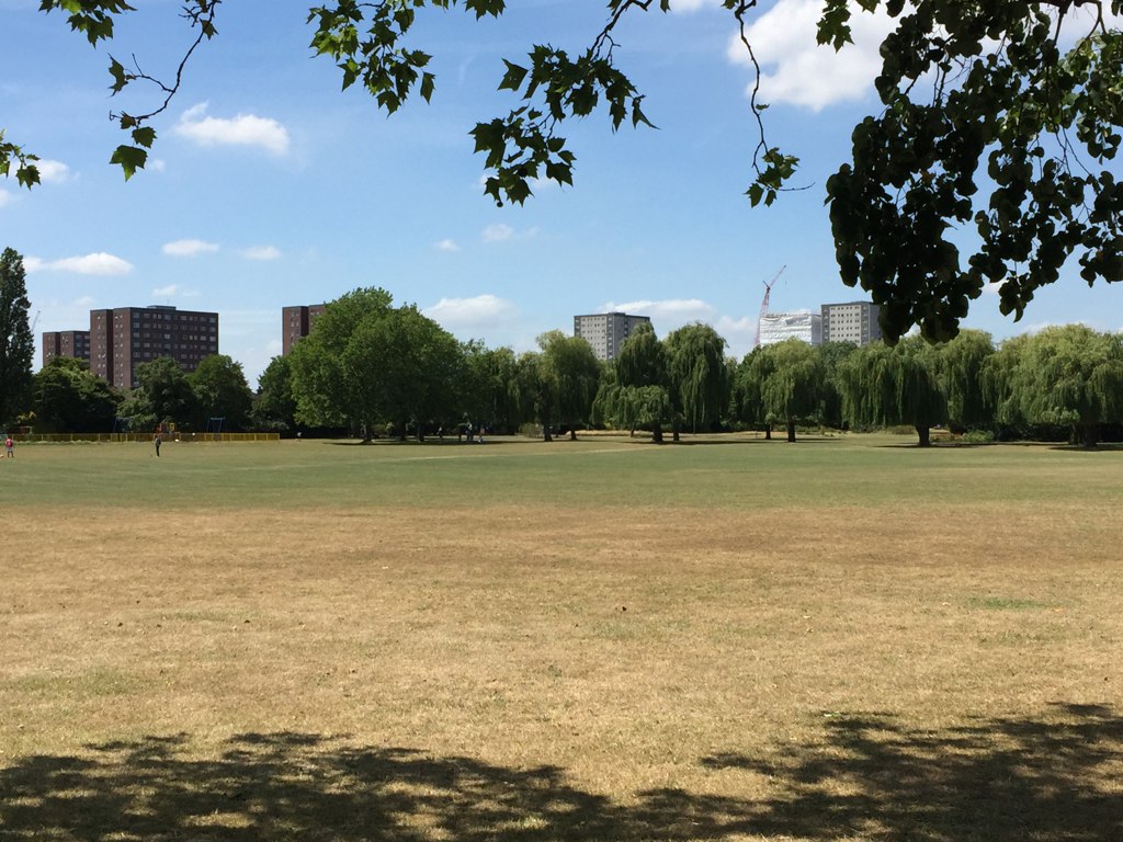
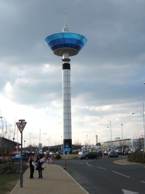
Greatfields Park
Greatfields Park, in the London Borough of Barking and Dagenham, east London, is a public park of just under 6 hectares. It lies just north of the A13...
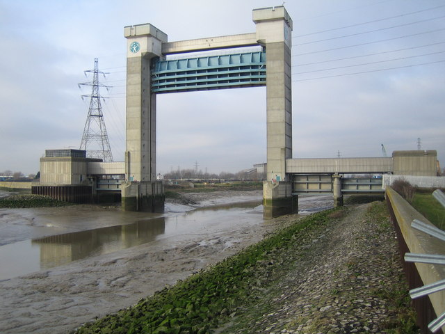
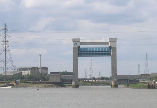
Barking Creek
Barking Creek joins the River Roding to the River Thames. It is fully tidal up to the Barking Barrage (a weir), which impounds a minimum water level through...

Barking fire
The Barking fire was a structure fire that occurred on 9 June 2019 at a newly built six storey block of flats named Samuel Garside House, located in De...

Creekmouth
Creekmouth is an area of Barking in east London, England. It is best known for its large industrial estate. The industrial area around River Road and Thames...
Thames Gateway Water Treatment Works
The Thames Gateway Water Treatment Works or Beckton Desalination Plant is a desalination plant in Beckton, London, adjacent to Beckton Sewage Treatment...

Battle of Barking Creek
The Battle of Barking Creek was a friendly fire incident over England on 6 September 1939 that caused the first death of a British fighter pilot in the...
Nearby Amenities
Located within 500m of 51.52359,0.092257672Have you been to Barking Creek?
Leave your review of Barking Creek below (or comments, questions and feedback).