Bell Lane Creek
Sea, Estuary, Creek in Surrey
England
Bell Lane Creek
Bell Lane Creek is a picturesque waterway located in Surrey, England. As its name suggests, it is a creek that flows through the area, eventually merging with the River Thames. The creek serves as an important link between the sea and the land, creating a vibrant ecosystem that is home to a variety of flora and fauna.
The creek starts its journey at the Bell Weir Lock, where it receives water from the River Thames. From there, it winds its way through the surrounding countryside, passing through peaceful meadows and dense woodlands. The creek's gentle flow and calm waters make it an ideal habitat for numerous aquatic species, including fish, waterfowl, and invertebrates.
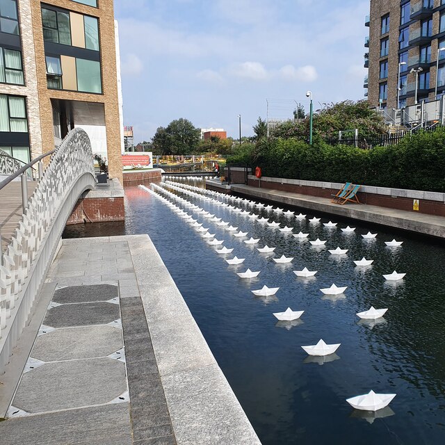
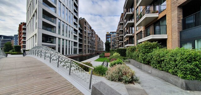
The surrounding area of Bell Lane Creek is known for its natural beauty and tranquility. The estuary provides a haven for birdwatchers, who can spot a wide range of species, including herons, swans, and ducks. The creek is also a popular spot for recreational activities such as boating, fishing, and kayaking. Its serene atmosphere and stunning scenery make it a perfect destination for nature enthusiasts and those seeking a peaceful retreat.
The creek is easily accessible, with several footpaths and trails that follow its course. These paths offer visitors the opportunity to explore the surrounding countryside and enjoy the diverse wildlife that inhabits the area. Along the creek's banks, one can find an abundance of plant life, including reeds, rushes, and water lilies, which further enhance its natural charm.
Overall, Bell Lane Creek is a hidden gem in Surrey, offering a unique blend of natural beauty, biodiversity, and recreational opportunities. Whether you are a nature lover or simply looking for a peaceful escape, this idyllic creek is well worth a visit.
If you have any feedback on the listing, please let us know in the comments section below.
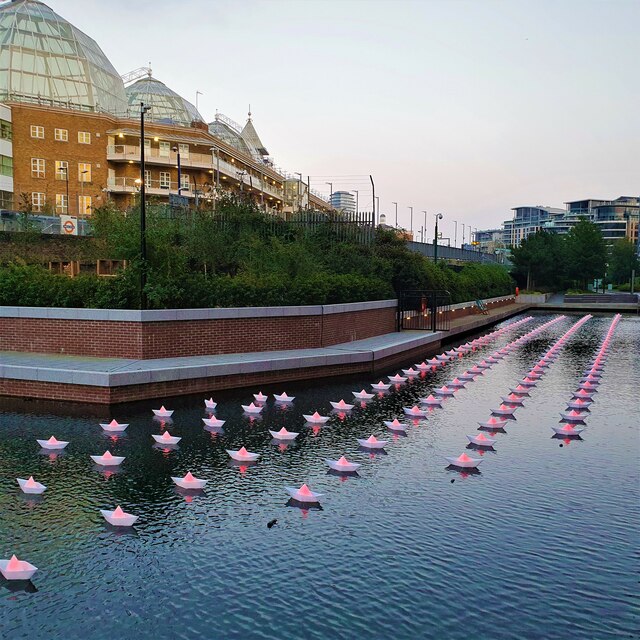
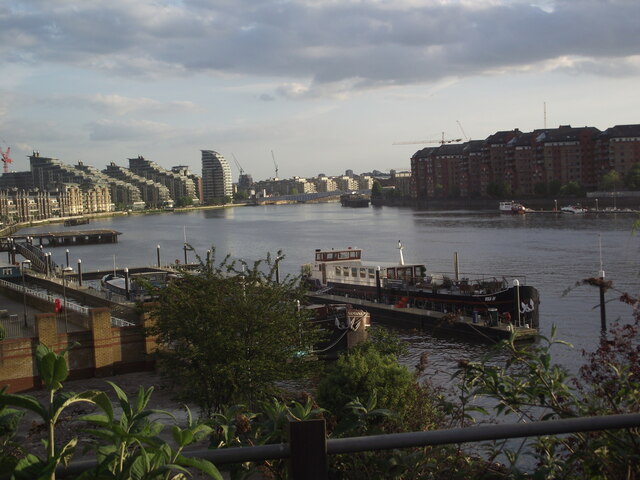
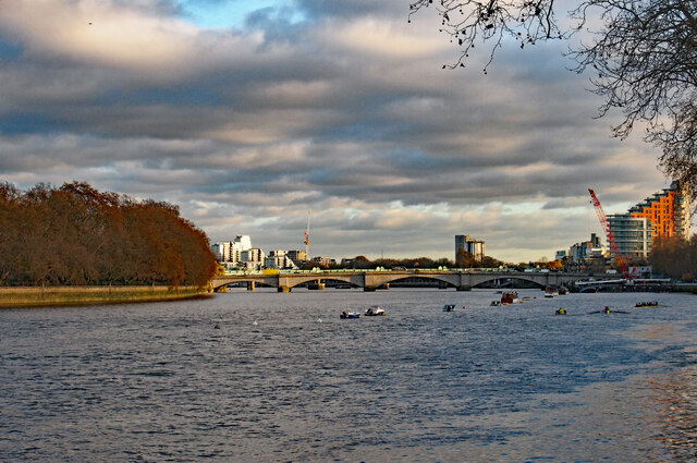
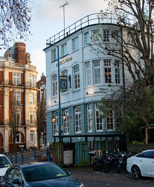
Bell Lane Creek Images
Images are sourced within 2km of 51.462136/-0.1946612 or Grid Reference TQ2575. Thanks to Geograph Open Source API. All images are credited.


Bell Lane Creek is located at Grid Ref: TQ2575 (Lat: 51.462136, Lng: -0.1946612)
Unitary Authority: Wandsworth
Police Authority: Metropolitan
What 3 Words
///held.homes.ballots. Near Wandsworth, London
Nearby Locations
Related Wikis

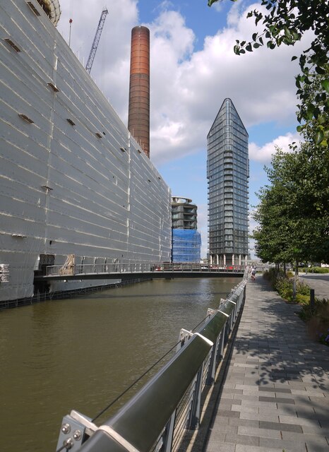
Wandsworth power station
Wandsworth power station supplied electricity to the London district of Wandsworth and to Putney, Tooting Graveney, Streatham and Clapham from 1897 to...

River Wandle
The River Wandle is a right-bank tributary of the River Thames in south London, England. With a total length of about 9 miles (14 km), the river passes...

Surrey Iron Railway
The Surrey Iron Railway (SIR) was a horse-drawn plateway that linked Wandsworth and Croydon via Mitcham, all then in Surrey but now suburbs of south London...
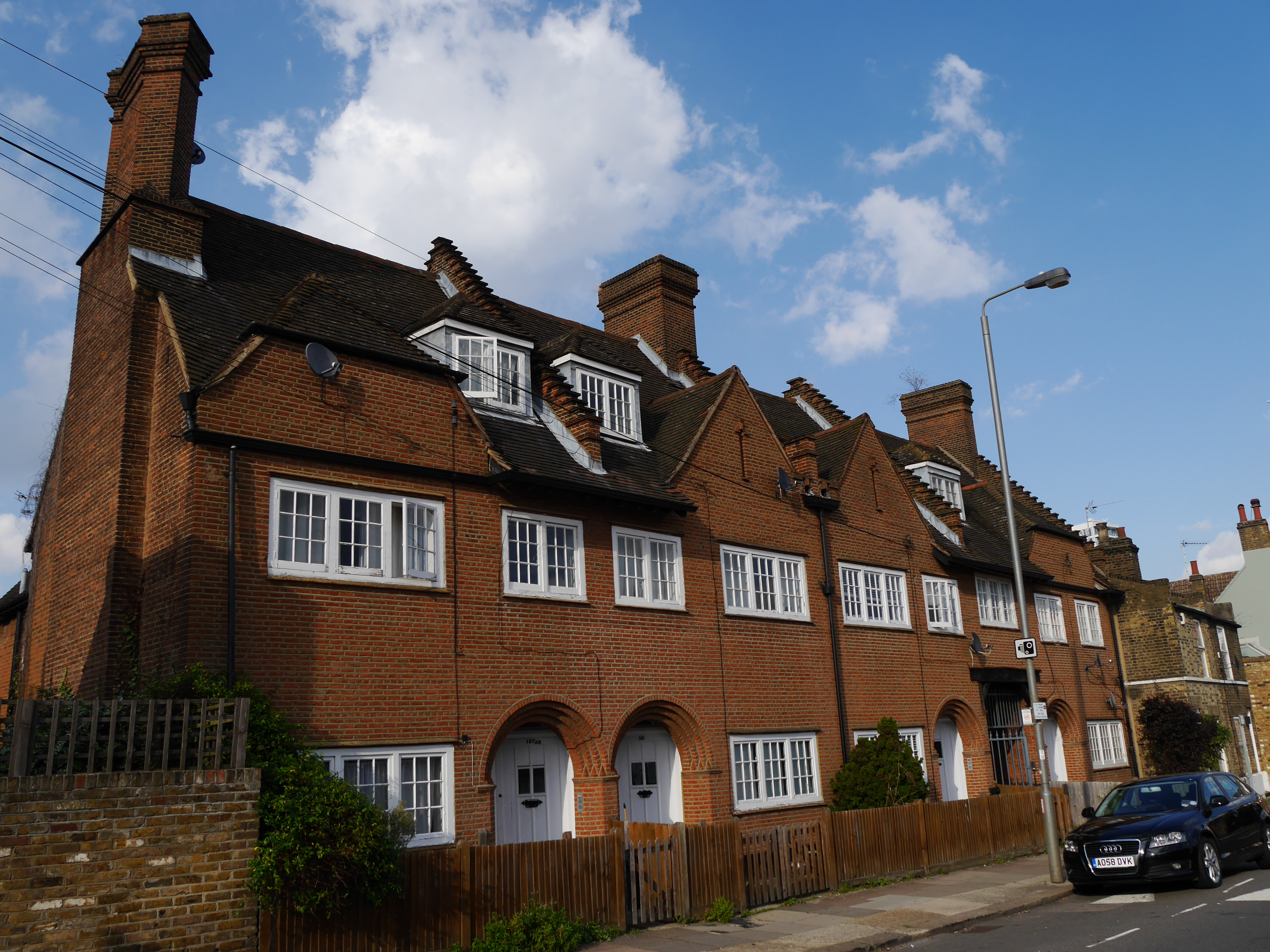
155–171 Oakhill Road
155–171 Oakhill Road is a Grade II listed private block of flats and rear building in an Arts and Crafts style in Putney, in the London Borough of Wandsworth...
Nearby Amenities
Located within 500m of 51.462136,-0.1946612Have you been to Bell Lane Creek?
Leave your review of Bell Lane Creek below (or comments, questions and feedback).