Bridge Lake
Sea, Estuary, Creek in Hampshire Havant
England
Bridge Lake
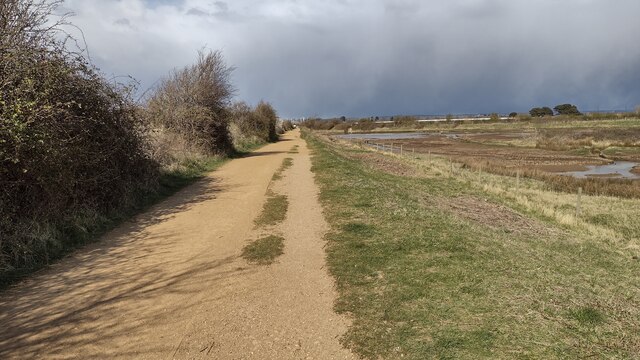
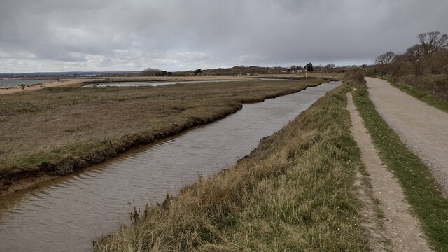
Bridge Lake is a picturesque body of water located in Hampshire, England. Nestled between the towns of Bridge and Lake, the lake is known for its serene beauty and tranquil atmosphere. It is not a sea, estuary, or creek, but rather a small lake surrounded by lush greenery and rolling hills.
The lake itself is approximately 10 acres in size and is a popular spot for fishing and boating enthusiasts. Its calm waters provide the perfect setting for a relaxing day on the water, whether you are casting a line or simply enjoying a leisurely paddle.
Surrounded by dense woodland and meadows, Bridge Lake offers a haven for wildlife. It is home to a variety of bird species, including swans, herons, and ducks, making it an ideal location for birdwatching. The lake also supports a diverse range of aquatic life, with fish species such as carp, perch, and roach populating its waters.
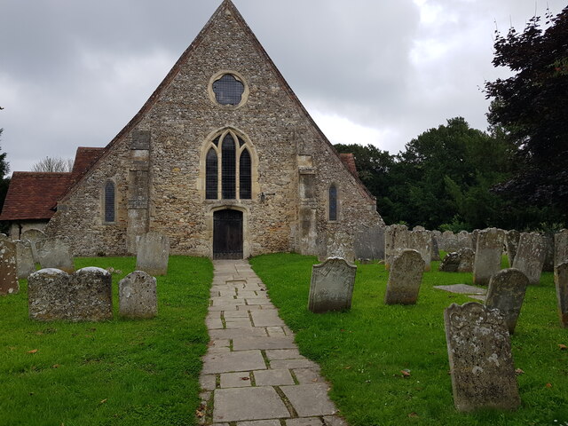
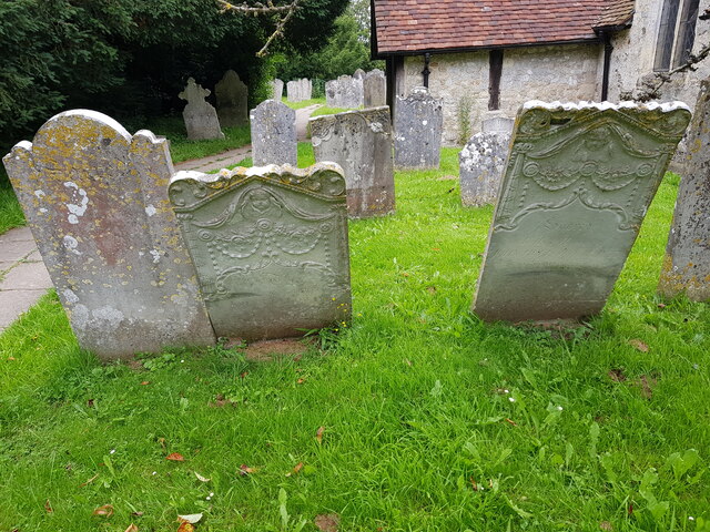
The area around Bridge Lake is rich in history and offers a glimpse into Hampshire's past. Nearby, visitors can explore the charming village of Bridge, with its quaint cottages and historic buildings. The lake is also a short distance from Lake, a bustling town known for its vibrant market and lively community events.
Overall, Bridge Lake is a hidden gem in Hampshire, offering visitors a chance to escape the hustle and bustle of city life and immerse themselves in the beauty of nature. Whether you are seeking outdoor recreation or simply a peaceful retreat, Bridge Lake is sure to leave a lasting impression.
If you have any feedback on the listing, please let us know in the comments section below.
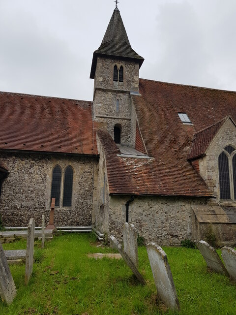
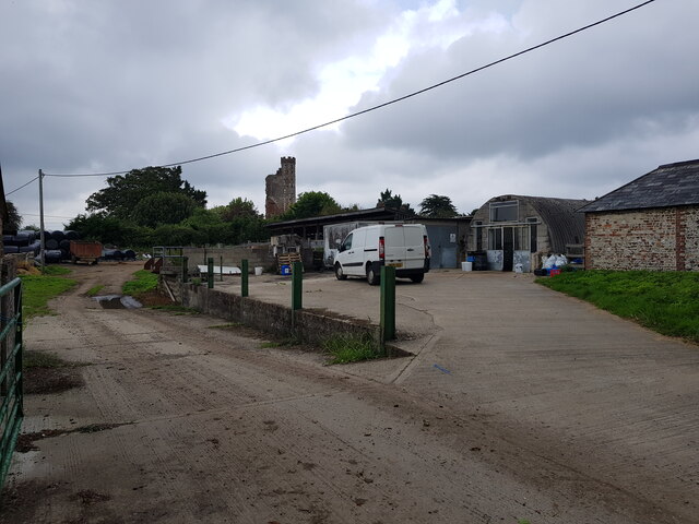
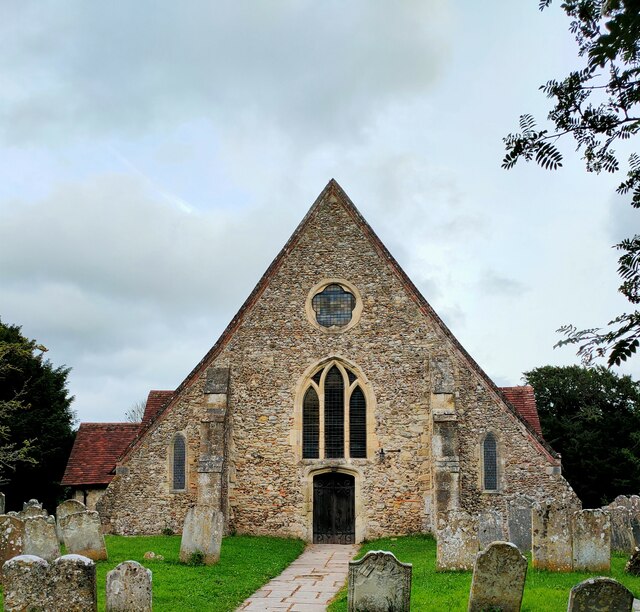
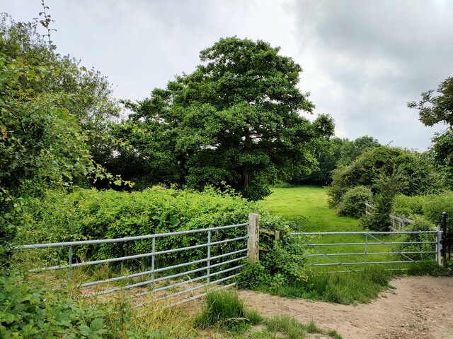
Bridge Lake Images
Images are sourced within 2km of 50.832867/-0.98445202 or Grid Reference SU7104. Thanks to Geograph Open Source API. All images are credited.


Bridge Lake is located at Grid Ref: SU7104 (Lat: 50.832867, Lng: -0.98445202)
Administrative County: Hampshire
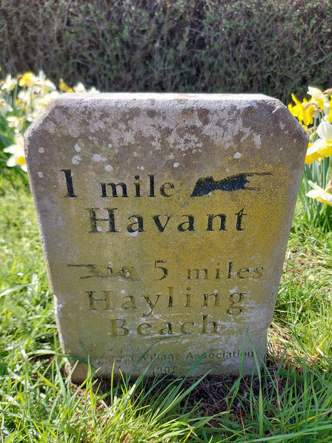
District: Havant
Police Authority: Hampshire
What 3 Words
///fraction.parrot.blogging. Near Havant, Hampshire
Nearby Locations
Related Wikis
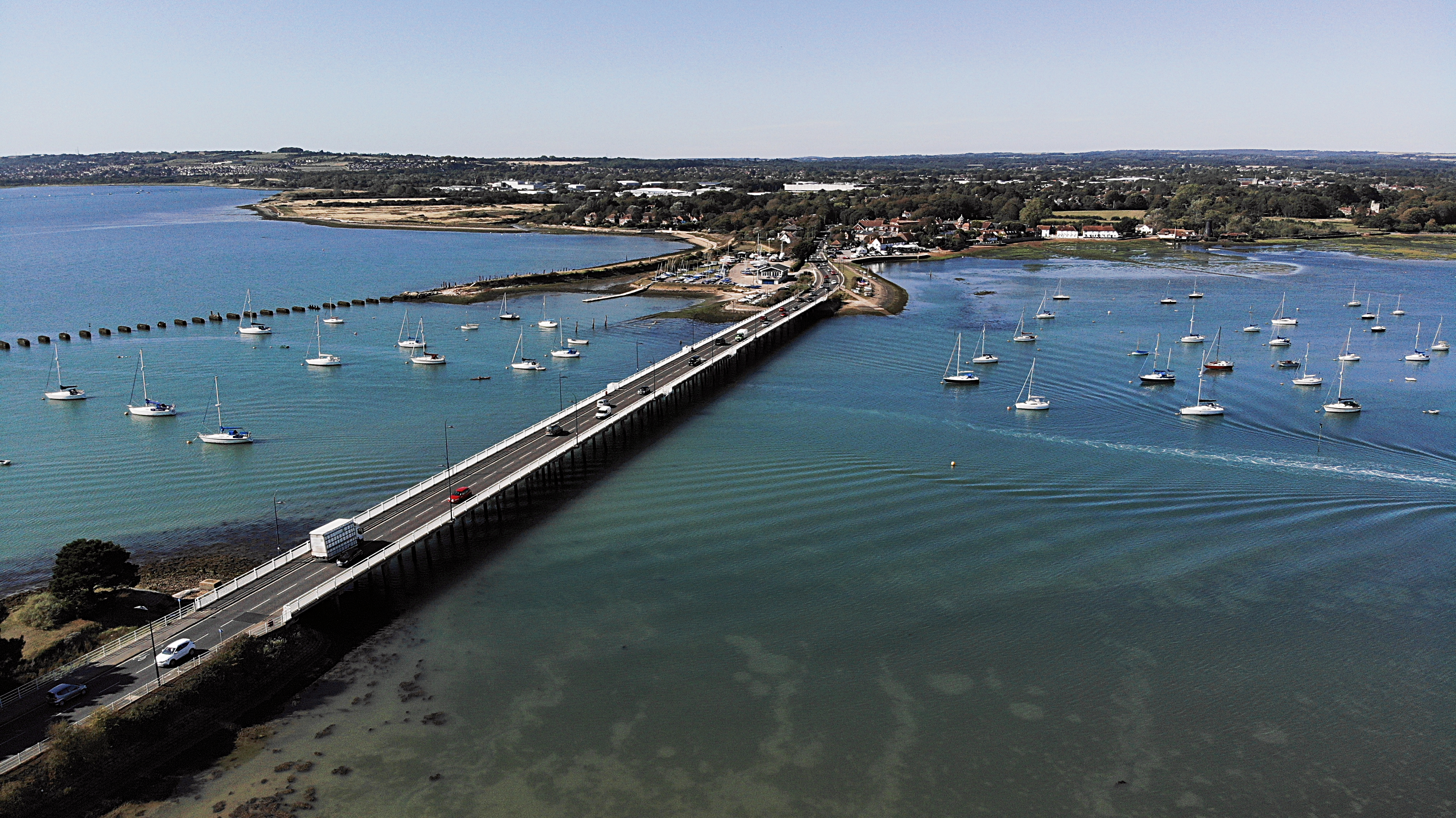
Langstone Bridge
Langstone Bridge (also known as Hayling Bridge) connects Hayling Island with the English mainland of Hampshire. The name of the bridge is derived from...
Langstone, Hampshire
Langstone is a village near Havant, Hampshire in the south east of England in Portsmouth. It has good railway connections to London, Southampton, Portsmouth...
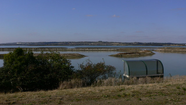
West Hayling
West Hayling is a 76.2-hectare (188-acre) Local Nature Reserve on Hayling Island in Hampshire. It is owned by Havant Borough Council and managed by the...
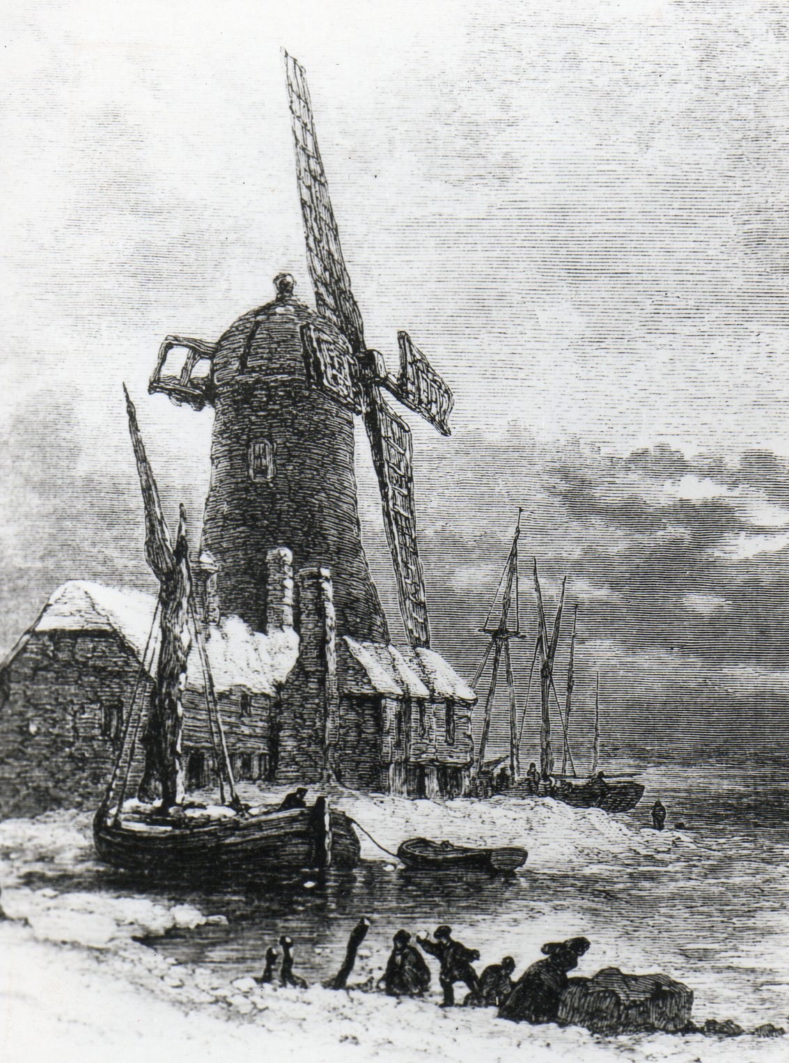
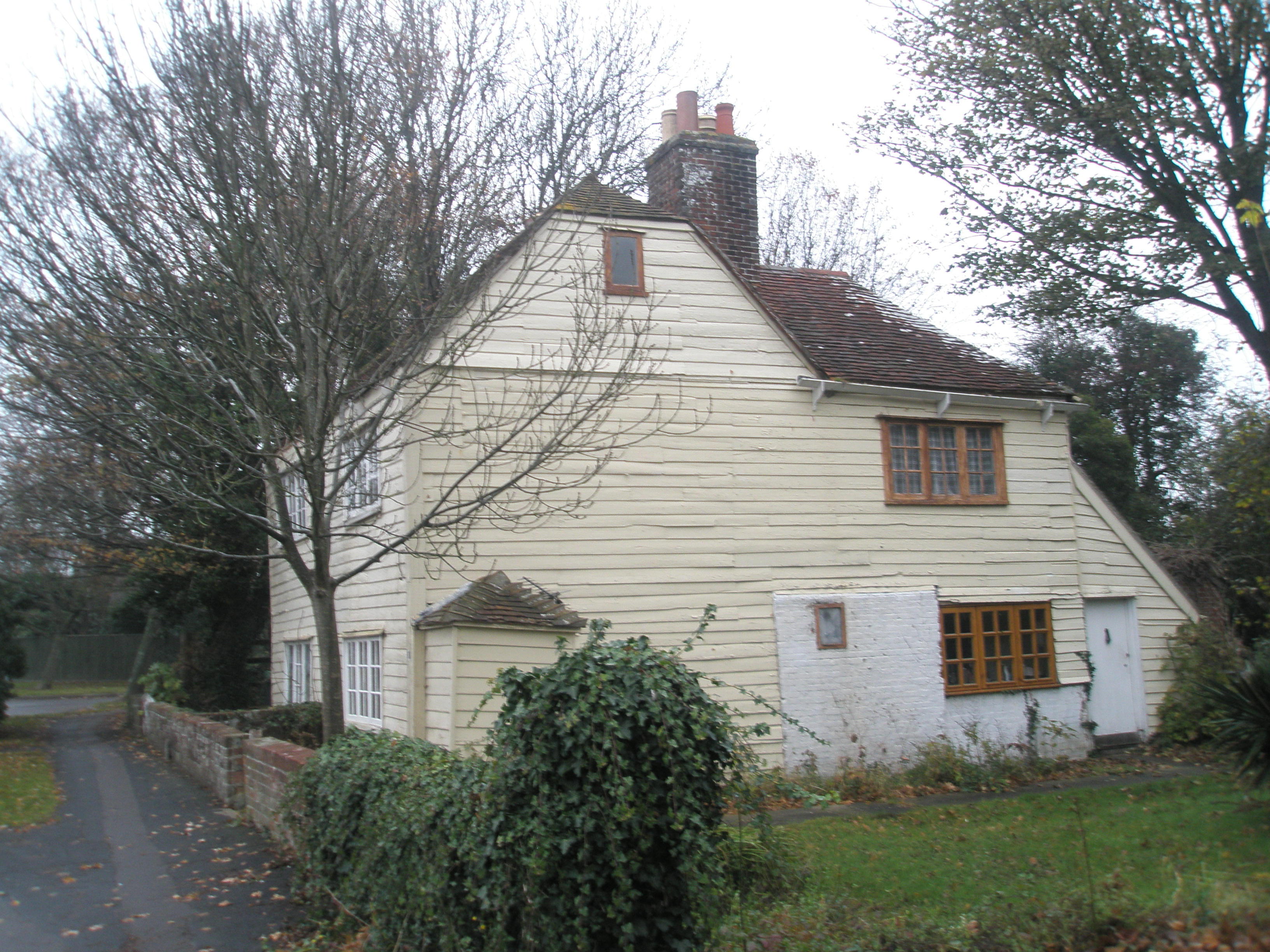
Langstone Windmill
Langstone Windmill is a Grade II listed tower mill at Langstone, Hampshire in England. It has been converted to residential accommodation. == History... ==
Langston railway station
Langston was a small station on the Hayling Island branch. The station along with the rest of the line closed in 1963, and it served the Langstone area...
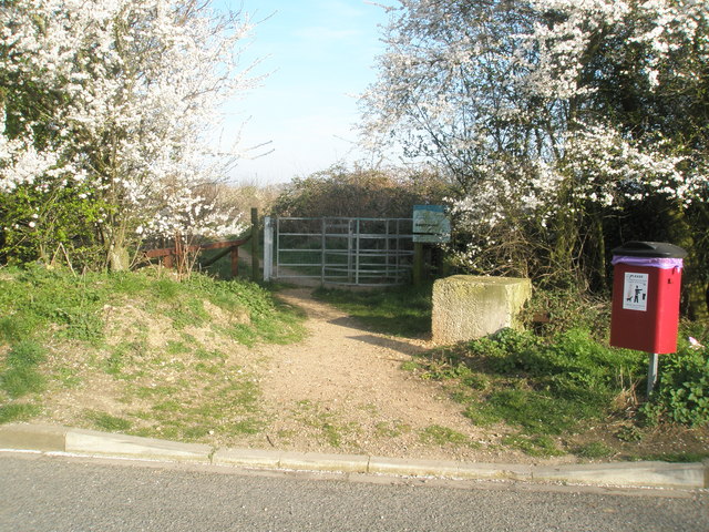
Southmoor Nature Reserve
Southmoor Nature Reserve is a 11-hectare (27-acre) nature reserve in Havant in Hampshire. It is managed by the Hampshire and Isle of Wight Wildlife Trust...
North Hayling railway station
North Hayling station was a halt on the single track Hayling Island branch, most often used to load oysters caught by local fishermen, but also ornithologists...

Stoke, Hayling Island
Stoke is a village on Hayling Island in the Havant district, in the county of Hampshire, England. The village lies on the Havant A3023 road between North...
Nearby Amenities
Located within 500m of 50.832867,-0.98445202Have you been to Bridge Lake?
Leave your review of Bridge Lake below (or comments, questions and feedback).