Brough Sound
Sea, Estuary, Creek in Shetland
Scotland
Brough Sound
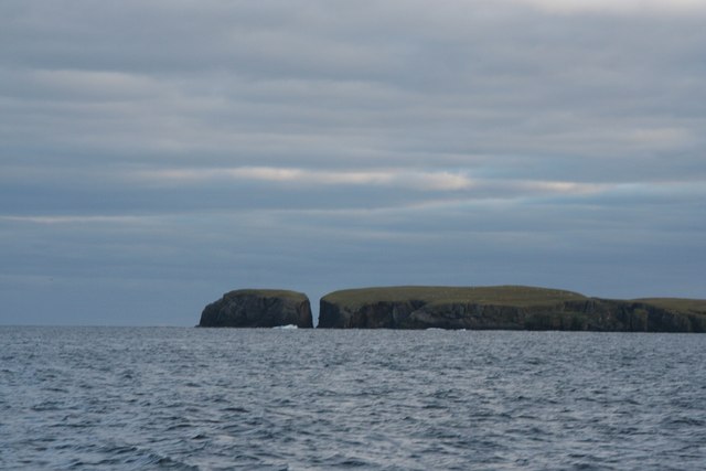
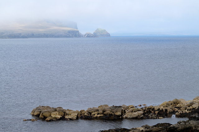
Brough Sound is a picturesque body of water located in the Shetland Islands, Scotland. It is situated between the mainland of Shetland and the island of Bressay, creating a natural sea inlet known as an estuary. The sound stretches approximately 1.2 kilometers (0.75 miles) in length and is a vital waterway for both recreational and commercial activities.
The sound is characterized by its calm and sheltered waters, making it a popular spot for boating, fishing, and other water-based activities. Its deep channel allows for larger vessels to navigate through, attracting commercial ships and ferries that connect the mainland to Bressay and other nearby islands.
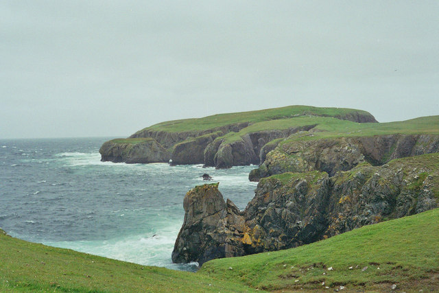
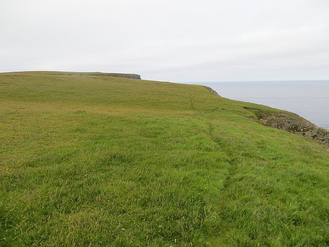
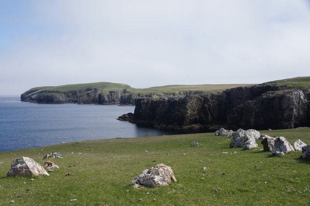
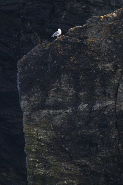
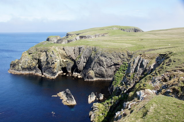
The surrounding landscape of Brough Sound is a mix of rocky shores, sandy beaches, and rolling hills, providing a stunning backdrop for visitors. The area is abundant in marine life, with seals, otters, and various bird species commonly spotted along the shores. The clear waters of the sound also support a diverse range of fish species, making it a prime location for anglers.
Brough Sound not only serves as a recreational hub but also plays a significant role in the local economy. It serves as a gateway for local fishing boats and aquaculture operations, contributing to the region's thriving seafood industry.
Overall, Brough Sound is a beautiful and dynamic body of water that offers both natural beauty and economic importance to the Shetland Islands.
If you have any feedback on the listing, please let us know in the comments section below.
Brough Sound Images
Images are sourced within 2km of 60.615206/-0.77360908 or Grid Reference HU6793. Thanks to Geograph Open Source API. All images are credited.


Brough Sound is located at Grid Ref: HU6793 (Lat: 60.615206, Lng: -0.77360908)
Unitary Authority: Shetland Islands
Police Authority: Highlands and Islands
What 3 Words
///opera.preheated.large. Near Houbie, Shetland Islands
Nearby Locations
Related Wikis

Haltadans
Haltadans, also known as Fairy Ring or Haltadans stone circle, is a stone circle on the island of Fetlar in Shetland, Scotland. This site is a ring of...

Funzie Girt
Funzie Girt (; Scots: Funyie Girt "Finns' dyke") is an ancient dividing wall that was erected from north to south across the island of Fetlar in Shetland...

Fetlar
Fetlar (Scots: Fetlar) is one of the North Isles of Shetland, Scotland, with a usually resident population of 61 at the time of the 2011 census. Its main...

Haaf Gruney
Haaf Gruney is a small island in the north east of the Shetland Islands. == Geography and geology == The island is between Unst and Fetlar which are to...

Urie Lingey
For other islands with similar names, see Linga (disambiguation) Urie Lingey is one of the Shetland Islands. It is between Fetlar and Unst, and Yell is...

Uyea, Unst
Uyea (Scots: Uyea) is an uninhabited island, lying south of Unst in Shetland, Scotland. == History == The island was inhabited as early as the Bronze Age...

Hamars Ness
Hamars Ness is a headland on the island of Fetlar in Shetland, Scotland. The name is from the Old Norse Hamarsnes meaning "craggy headland". A ro-ro ferry...

Brough Lodge
Brough Lodge is a 19th-century Gothic mansion on Fetlar, one of the Shetland Islands, in northern Scotland. Built by the Nicolson family, who were responsible...
Have you been to Brough Sound?
Leave your review of Brough Sound below (or comments, questions and feedback).