Badnam Creek
Sea, Estuary, Creek in Hampshire Eastleigh
England
Badnam Creek
Badnam Creek is a small water body located in the county of Hampshire, England. It is situated on the southern coast of the country, near the town of Fareham. The creek is a part of the Solent Estuarine System, which encompasses several other water bodies in the region.
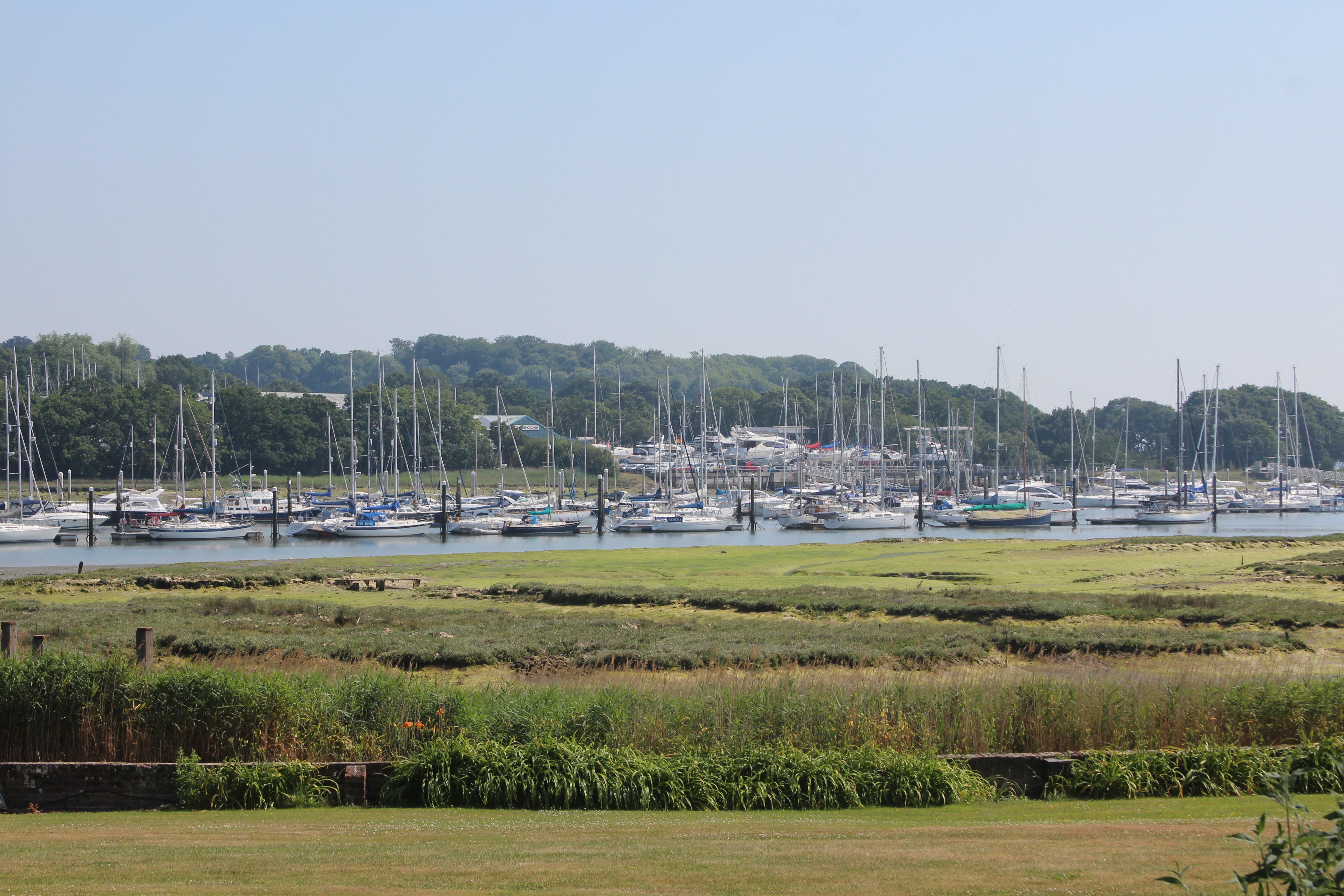
Meandering through picturesque marshlands and low-lying areas, Badnam Creek is a tidal channel that connects with the Solent, a narrow strait that separates the Isle of Wight from the mainland. The creek is influenced by the ebb and flow of the tides, resulting in constantly changing water levels and currents.
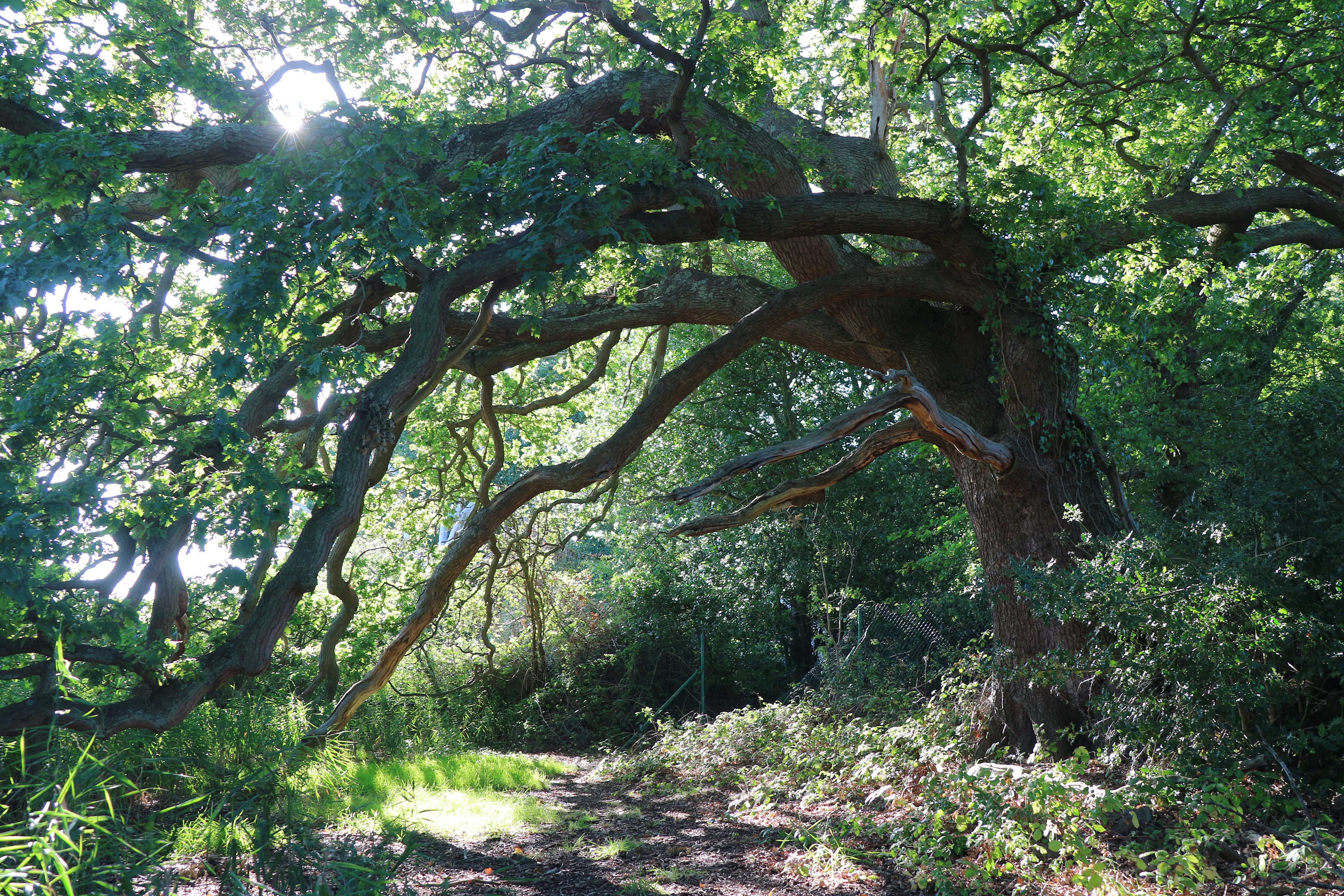
The surrounding landscape of Badnam Creek is characterized by salt marshes, mudflats, and reed beds. These habitats provide a diverse ecosystem that supports a variety of plant and animal species. The creek is particularly important for avian species, as it serves as a feeding and roosting site for numerous waterfowl and wading birds.
Due to its natural beauty and ecological significance, Badnam Creek has been designated as a Site of Special Scientific Interest (SSSI) and is protected under national conservation laws. This designation ensures that the creek and its surrounding habitats are managed and preserved for future generations.
The creek also holds recreational value, attracting visitors who enjoy birdwatching, fishing, and boating. The tranquil and scenic environment of Badnam Creek offers a peaceful escape from the hustle and bustle of nearby urban areas.
In conclusion, Badnam Creek in Hampshire is a picturesque tidal channel that forms part of the Solent Estuarine System. With its diverse habitats and ecological importance, it is a haven for wildlife and an appealing destination for nature enthusiasts.
If you have any feedback on the listing, please let us know in the comments section below.
Badnam Creek Images
Images are sourced within 2km of 50.872817/-1.3145881 or Grid Reference SU4808. Thanks to Geograph Open Source API. All images are credited.


Badnam Creek is located at Grid Ref: SU4808 (Lat: 50.872817, Lng: -1.3145881)
Administrative County: Hampshire
District: Eastleigh
Police Authority: Hampshire
What 3 Words
///knowledge.fatherly.email. Near Bursledon, Hampshire
Nearby Locations
Related Wikis
Lincegrove and Hackett's Marshes
Lincegrove and Hackett's Marshes is a 37.8-hectare (93-acre) biological Site of Special Scientific Interest on the west bank of the River Hamble between...
Hackett's Marsh
Hackett's Marsh is a 20.4-hectare (50-acre) Local Nature Reserve in Bursledon in Hampshire. It is owned by Hampshire County Council and managed by Hampshire...

Mercury Marshes
Mercury Marshes is a 6.4-hectare (16-acre) Local Nature Reserve in Hamble-le-Rice in Hampshire. It is owned by Hampshire County Council and managed by...

Hamble School
The Hamble School is a secondary school in Hamble-le-Rice, offering education to children between 11-16. == Ofsted == The school was inspected by Ofsted...
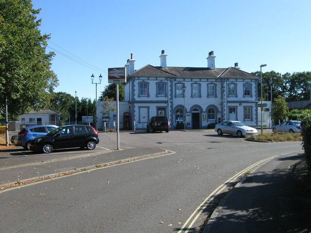
Hamble railway station
Hamble railway station is an unstaffed station near the village of Hamble-le-Rice, England. It is served by a 2-track electrified line which joins the...

Hamble Rail Trail
The Hamble Rail Trail is a 4.5-mile-long (7.2 km) circular footpath in Hampshire, southern England, comprising a path which runs alongside a disused railway...
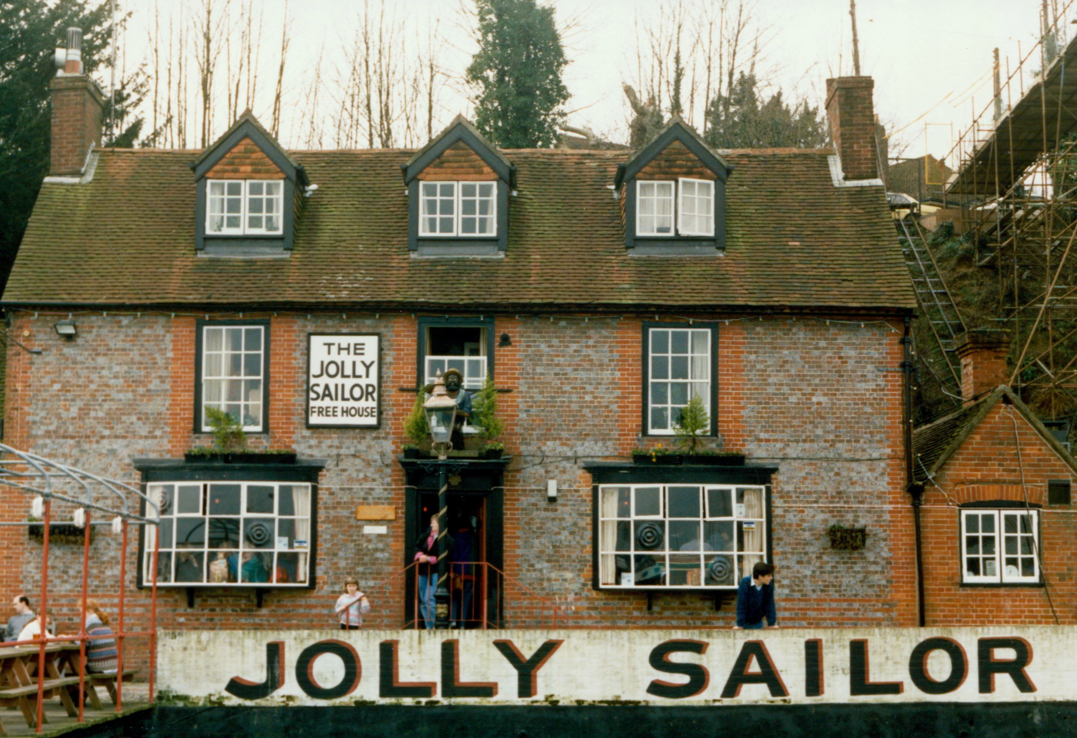
The Jolly Sailor, Bursledon
The Jolly Sailor is an 18th-century public house on Land's End Road in Bursledon in Hampshire, England. It has been listed Grade II on the National Heritage...
Hamble Club F.C.
Hamble Club Football Club is a football club based in Hamble-le-Rice, Hampshire. They are currently members of the Wessex League Premier Division and play...
Related Videos
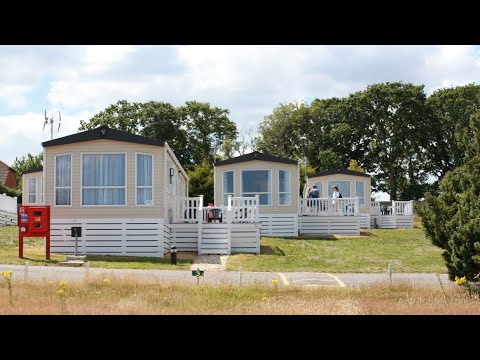
Take a quick tour of Mercury Yacht Harbour and Holiday Park
If you're looking for nightlife, entertainment and boating all wrapped up in one convenient package, then there's nothing like ...

Mercury Yacht Harbour and Holiday Park: A tranquil retreat
Mercury Yacht Harbour and Holiday Park offers the choice of self catering accommodation, available all year, or campsite and ...

Walking to the sea
Finally got a break in the weather to get out and trial my new DJI Osmo Mobile 3 with my iPhone 11 Pro Max. Walked from home to ...

Mercury Yacht Harbour and Holiday Park on the River Hamble
Mercury Yacht Harbour and Holiday Park offers the choice of self-catering accommodation, available all year, or campsite and ...
Nearby Amenities
Located within 500m of 50.872817,-1.3145881Have you been to Badnam Creek?
Leave your review of Badnam Creek below (or comments, questions and feedback).