Caldicot Pill

Sea, Estuary, Creek in Monmouthshire

Wales

Caldicot Pill

Symondscliff Way, Caldicot
Symondscliff Way, Caldicot Credit: JThomas

Caldicot Pill is a small body of water located in Monmouthshire, Wales. It is known for its picturesque landscape and its significance as a sea, estuary, and creek.

Situated on the Severn Estuary, Caldicot Pill connects to the Bristol Channel, providing a gateway to the open sea. The estuary is formed by the tidal flows of the River Severn, which mix with the freshwater from the River Usk. This unique blend of freshwater and saltwater creates a diverse ecosystem that is home to a variety of marine and bird species.

The creek itself is characterized by shallow waters and mudflats, making it an important habitat for wading birds and other wildlife. During low tide, the creek reveals vast expanses of mud, attracting a variety of bird species such as curlews, redshanks, and dunlins.

Caldicot Pill is also known for its scenic beauty. The surrounding landscape is a mixture of marshland, reed beds, and salt marshes, all of which contribute to the area's natural charm. With its tranquil atmosphere and stunning views, the creek is a popular destination for nature lovers and photographers.

In addition to its natural beauty, Caldicot Pill has historical and cultural significance. The area is home to Caldicot Castle, a medieval fortress that overlooks the creek. The castle's ruins are a testament to the region's rich history and attract visitors from far and wide.

Overall, Caldicot Pill is a unique and captivating destination. With its diverse ecosystem, breathtaking scenery, and historical landmarks, it offers a truly unforgettable experience for visitors and locals alike.

If you have any feedback on the listing, please let us know in the comments section below.

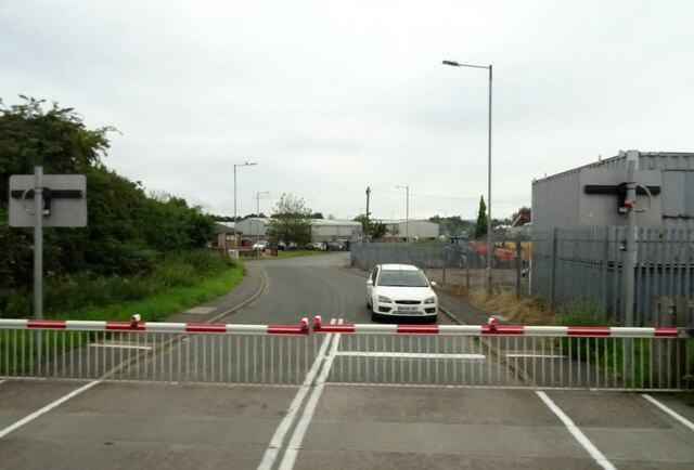
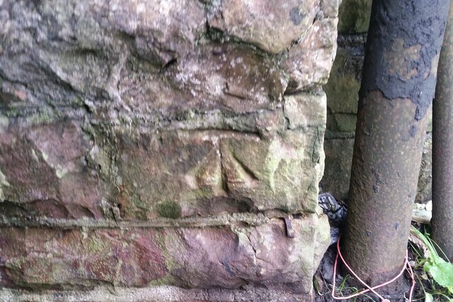
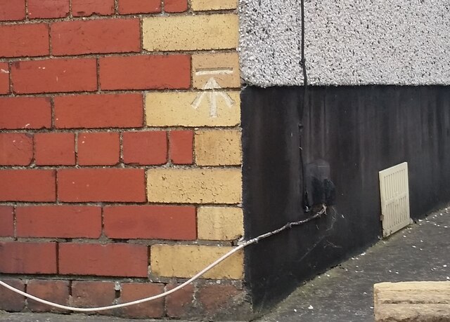
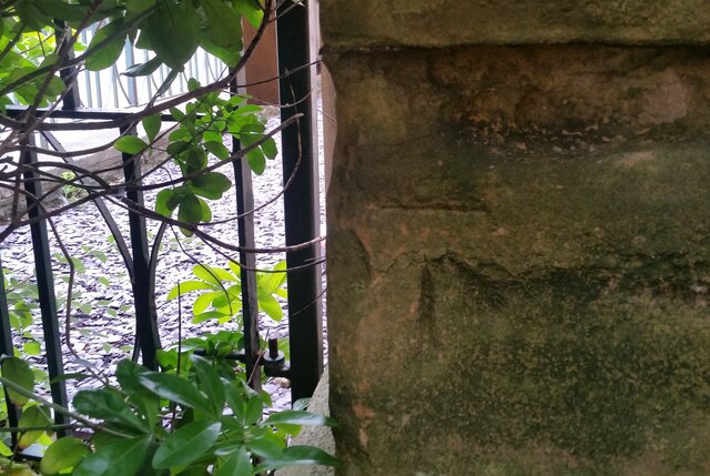
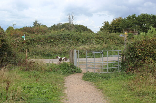
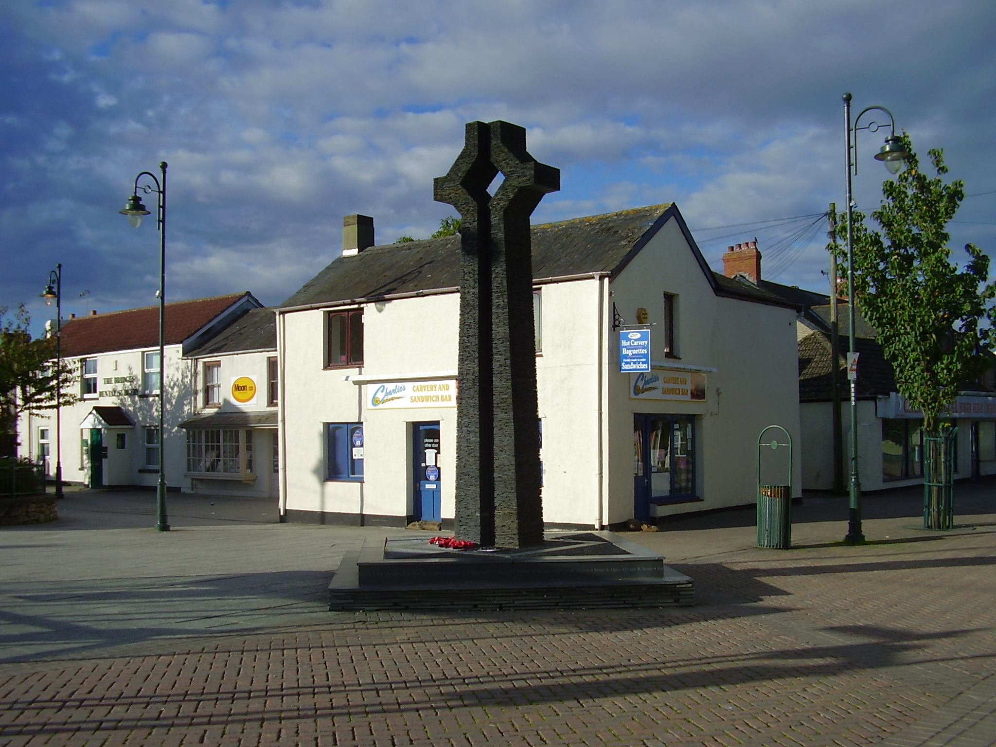
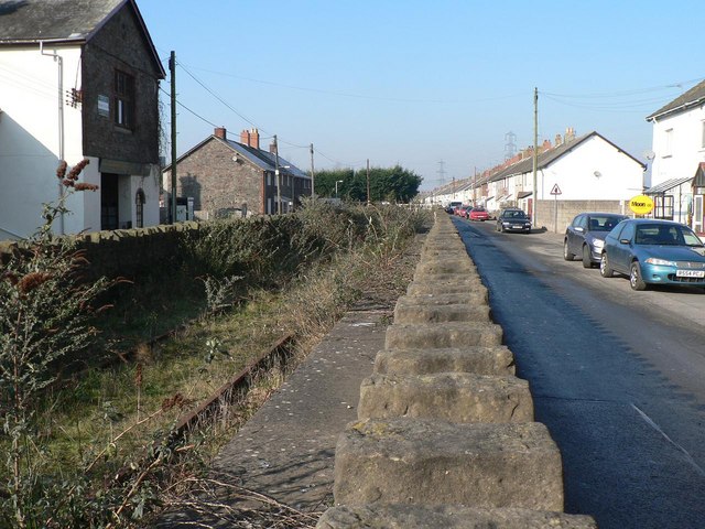
Caldicot Pill Images

Images are sourced within 2km of 51.58054/-2.7373826 or Grid Reference ST4987. Thanks to Geograph Open Source API. All images are credited.

Symondscliff Way, Caldicot
Ordnance Survey Cut Mark This OS cut mark can be found on the west buttress of the railway bridge. It marks a point 7.087m above mean sea level.
Ordnance Survey Cut Mark
This OS cut mark can be found on the west buttress of the railway bridge. It marks a point 7.087m above mean sea level.
Ordnance Survey 1GL Bolt This OS Bolt can be found on the south angle of St Mary's Church. It marks a point 13.591m above mean sea level.
Ordnance Survey 1GL Bolt
This OS Bolt can be found on the south angle of St Mary's Church. It marks a point 13.591m above mean sea level.
Ordnance Survey Cut Mark This OS cut mark can be found on the east face of St Mary's Church. It marks a point 15.383m above mean sea level.
Ordnance Survey Cut Mark
This OS cut mark can be found on the east face of St Mary's Church. It marks a point 15.383m above mean sea level.
Ordnance Survey Cut Mark This OS cut mark can be found on the SW face of Caldicot Castle. It marks a point 10.574m above mean sea level.
Ordnance Survey Cut Mark
This OS cut mark can be found on the SW face of Caldicot Castle. It marks a point 10.574m above mean sea level.
Ordnance Survey Cut Mark This OS cut mark can be found on No204 Newport Road. It marks a point 11.970m above mean sea level.
Ordnance Survey Cut Mark
This OS cut mark can be found on No204 Newport Road. It marks a point 11.970m above mean sea level.
Ordnance Survey Cut Mark This OS cut mark can be found on the east angle of the Methodist Chapel. It marks a point 11.107m above mean sea level.
Ordnance Survey Cut Mark
This OS cut mark can be found on the east angle of the Methodist Chapel. It marks a point 11.107m above mean sea level.
M4 motorway descending westwards from Severn Bridge  The M4 is 190 miles long and runs from London to South Wales. Major centres close to the motorway include Reading, Swindon, Bristol, Newport, Cardiff and Swansea. The motorway was constructed between 1961 and 1996. The M4 originally crossed the first Severn Road Bridge. It has now been diverted to use the Second Severn Crossing and the motorway over the older bridge has been renumbered as M48.
Wikipedia: <span class="nowrap"><a title="http://en.wikipedia.org/wiki/M4_motorway" rel="nofollow ugc noopener" href="http://en.wikipedia.org/wiki/M4_motorway">Link</a><img style="margin-left:2px;" alt="External link" title="External link - shift click to open in new window" src="https://s1.geograph.org.uk/img/external.png" width="10" height="10"/></span>
M4 motorway descending westwards from Severn Bridge
The M4 is 190 miles long and runs from London to South Wales. Major centres close to the motorway include Reading, Swindon, Bristol, Newport, Cardiff and Swansea. The motorway was constructed between 1961 and 1996. The M4 originally crossed the first Severn Road Bridge. It has now been diverted to use the Second Severn Crossing and the motorway over the older bridge has been renumbered as M48. Wikipedia: LinkExternal link
Tidal flats by Severn estuary seen from M4 The M4 is 190 miles long and runs from London to South Wales. Major centres close to the motorway include Reading, Swindon, Bristol, Newport, Cardiff and Swansea. The motorway was constructed between 1961 and 1996. The M4 originally crossed the first Severn Road Bridge. It has now been diverted to use the Second Severn Crossing and the motorway over the older bridge has been renumbered as M48.
Wikipedia: <span class="nowrap"><a title="http://en.wikipedia.org/wiki/M4_motorway" rel="nofollow ugc noopener" href="http://en.wikipedia.org/wiki/M4_motorway">Link</a><img style="margin-left:2px;" alt="External link" title="External link - shift click to open in new window" src="https://s1.geograph.org.uk/img/external.png" width="10" height="10"/></span>
Tidal flats by Severn estuary seen from M4
The M4 is 190 miles long and runs from London to South Wales. Major centres close to the motorway include Reading, Swindon, Bristol, Newport, Cardiff and Swansea. The motorway was constructed between 1961 and 1996. The M4 originally crossed the first Severn Road Bridge. It has now been diverted to use the Second Severn Crossing and the motorway over the older bridge has been renumbered as M48. Wikipedia: LinkExternal link
Caldicot Castle Bailey A view of the 19th century additions to the gatehouse
Caldicot Castle Bailey
A view of the 19th century additions to the gatehouse
East end of Caldicot Station Unmanned station on Newport - Gloucester line. The level crossing is for high vehicles on Station Road; The white railings, left, are over a low bridge <a href="https://www.geograph.org.uk/photo/7299287">ST4787 : Low railway bridge, Station Road</a> on Station Road.
East end of Caldicot Station
Unmanned station on Newport - Gloucester line. The level crossing is for high vehicles on Station Road; The white railings, left, are over a low bridge ST4787 : Low railway bridge, Station Road on Station Road.
Caldicot Railway Station platforms Looking west towards Newport.
Caldicot Railway Station platforms
Looking west towards Newport.
Low railway bridge, Station Road The signs top left refer to the user operated leval crossing.
Low railway bridge, Station Road
The signs top left refer to the user operated leval crossing.
Kissing gate on Wales Coast Path Behind the camera the footpath heads to the coast. NCR 4 runs along the road.
Kissing gate on Wales Coast Path
Behind the camera the footpath heads to the coast. NCR 4 runs along the road.
Gate on approach to footbridge over M4 Heading towards the coast on the Wales Coast Path.
Gate on approach to footbridge over M4
Heading towards the coast on the Wales Coast Path.
Western approach to Prince of Wales Bridge, M4
Gated footpath from footbridge over M4 Wales Coast Path rejoins the sea wall after a diversion to avoid firing ranges.
Gated footpath from footbridge over M4
Wales Coast Path rejoins the sea wall after a diversion to avoid firing ranges.
Closed path on sea wall Path closed because of proximity to firing ranges; a red flag can just be discerned in the distance; gunshots could be heard that afternoon.
Closed path on sea wall
Path closed because of proximity to firing ranges; a red flag can just be discerned in the distance; gunshots could be heard that afternoon.
Show me another place!

Caldicot Pill is located at Grid Ref: ST4987 (Lat: 51.58054, Lng: -2.7373826)

Unitary Authority: Monmouthshire

Police Authority: Gwent

What 3 Words

///will.shifters.awakening. Near Caldicot, Monmouthshire

Related Wikis

Severn (Caldicot ward)

Severn is the name of an electoral ward in the town of Caldicot, Monmouthshire, Wales. The ward elects councillors to Caldicot Town Council and Monmouthshire...

Severn Tunnel rail accident

On 7 December 1991, two trains collided inside the Severn Tunnel, between England and Wales. There were no fatalities but 185 passengers were injured....

St Mary's Church, Portskewett

St Mary's is located in the centre of the village of Portskewett, Monmouthshire. It is a Grade I listed building as of 19 August 1955. == History and... ==

Portskewett

Portskewett (Welsh: Porthsgiwed or Porthysgewin) is a village and community (parish) in Monmouthshire, south east Wales. It is located four miles south...

Manor Farmhouse and Manor Cottage, Portskewett

Manor Farmhouse and Manor Cottage, Portskewett, Monmouthshire is a country house dating from early 17th century. The house is a Grade II* listed building...

Caldicot School

Caldicot School (Welsh: Ysgol Cil-y-coed) is a coeducational and non-selective secondary school in Caldicot, Monmouthshire, South Wales, with around 1...

Caldicot, Monmouthshire

Caldicot (Welsh: Cil-y-coed) is a market town and community in Monmouthshire, Wales. The town is located between Chepstow and the city of Newport. The...

Sudbrook, Monmouthshire

Sudbrook is a village in Monmouthshire, south east Wales. It is located 4 miles south west of Chepstow and 1 mile east of Caldicot. It lies close to the...

Nearby Amenities

Located within 500m of 51.58054,-2.7373826
Source: PGS
Lat/Long: 51.580627/-2.7440599
Source: PGS
Lat/Long: 51.5807987/-2.7437381
Source: PGS
Lat/Long: 51.5808944/-2.7419913
Source: PGS
Lat/Long: 51.5808257/-2.7417155
Source: PGS
Lat/Long: 51.58088/-2.7405983
Source: PGS
Lat/Long: 51.5810647/-2.7392731
Source: PGS
Lat/Long: 51.581148/-2.738195
Source: PGS
Lat/Long: 51.5812383/-2.7367968
Source: PGS
Lat/Long: 51.5812803/-2.7366604
Source: PGS
Lat/Long: 51.5813293/-2.7352784
Source: PGS
Lat/Long: 51.5814477/-2.7324213
Source: PGS
Lat/Long: 51.5815193/-2.7306388
Power: tower
Lat/Long: 51.5837613/-2.7347174
Power: tower
Lat/Long: 51.5837723/-2.7399762
Power: tower
Lat/Long: 51.5826927/-2.7416198
Power: tower
Lat/Long: 51.582708/-2.7373223
Power: tower
Lat/Long: 51.5827305/-2.7347249
Power: tower
Lat/Long: 51.583922/-2.7333182
Power: tower
Lat/Long: 51.583252/-2.7395498
Power: tower
Lat/Long: 51.5833287/-2.7342237
Power: tower
Lat/Long: 51.5831749/-2.7346642
Power: tower
Lat/Long: 51.5835071/-2.7344207
Power: tower
Lat/Long: 51.5835197/-2.7337146
Power: pole
Lat/Long: 51.5840673/-2.7343632
Power: pole
Lat/Long: 51.5840696/-2.7372068
The data included in this document is from www.openstreetmap.org. The data is made available under ODbL.

Have you been to Caldicot Pill?

Leave your review of Caldicot Pill below (or comments, questions and feedback).