Cold Harbour Pill
Sea, Estuary, Creek in Monmouthshire
Wales
Cold Harbour Pill
The requested URL returned error: 429 Too Many Requests
If you have any feedback on the listing, please let us know in the comments section below.
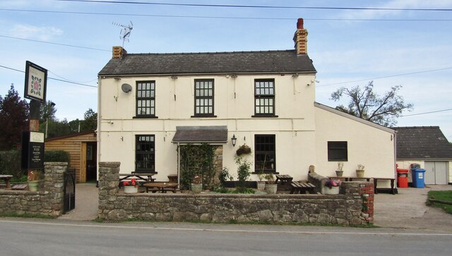
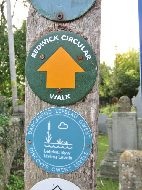
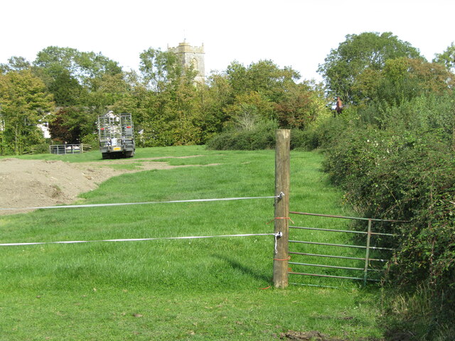
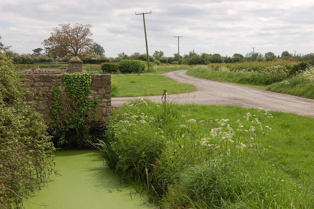
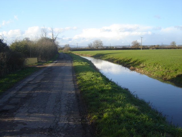
Cold Harbour Pill Images
Images are sourced within 2km of 51.553098/-2.8212136 or Grid Reference ST4384. Thanks to Geograph Open Source API. All images are credited.


Cold Harbour Pill is located at Grid Ref: ST4384 (Lat: 51.553098, Lng: -2.8212136)
Unitary Authority: Newport
Police Authority: Gwent
What 3 Words
///works.enable.shameless. Near Redwick, Newport
Nearby Locations
Related Wikis
Redwick, Newport
Redwick (Welsh: Y Redwig) is a small village and community (parish) to the south east of the city of Newport, in Wales, United Kingdom. It lies within...
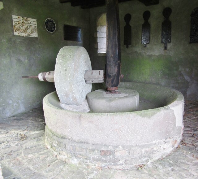
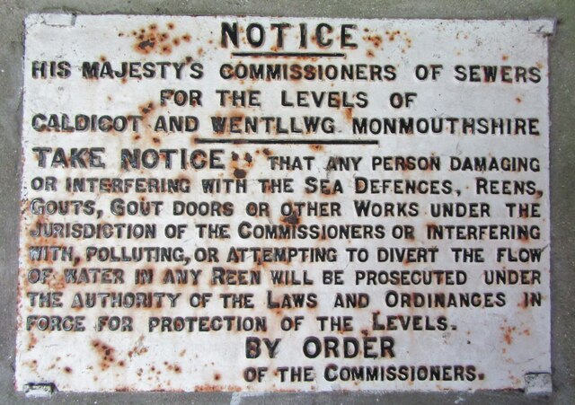
Caldicot and Wentloog Levels
The Caldicot and Wentloog Levels are two areas of low-lying estuarine alluvial wetland and intertidal mudflats adjoining the north bank of the Severn Estuary...

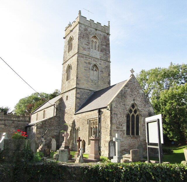
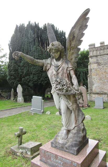
Church of St Thomas, Redwick
The Church of St Thomas is the parish church of the village of Redwick, to the south east of the city of Newport, South Wales, Great Britain. A medieval...

Magor Marsh
Magor Marsh is a 36-hectare (90-acre) wetland reserve, located on the Welsh side of the Severn Estuary. It is managed by the Gwent Wildlife Trust. It has...
Nearby Amenities
Located within 500m of 51.553098,-2.8212136Have you been to Cold Harbour Pill?
Leave your review of Cold Harbour Pill below (or comments, questions and feedback).