Bay Gate
Settlement in Yorkshire Ribble Valley
England
Bay Gate
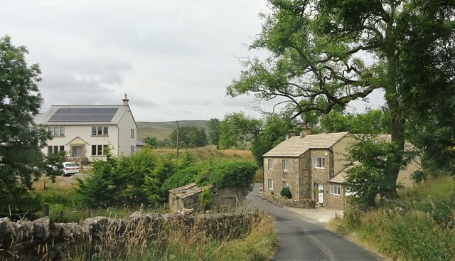
Bay Gate is a small coastal village located in the picturesque county of Yorkshire, England. Situated on the eastern coast, Bay Gate boasts stunning views of the North Sea and is known for its serene and idyllic surroundings.
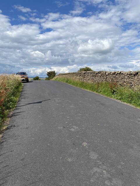
The village is characterized by its charming cottages, traditional architecture, and a close-knit community. The residents of Bay Gate take great pride in their village and work together to maintain its natural beauty. The streets are lined with colorful flower gardens and well-kept hedges, creating a delightful atmosphere for both residents and visitors.
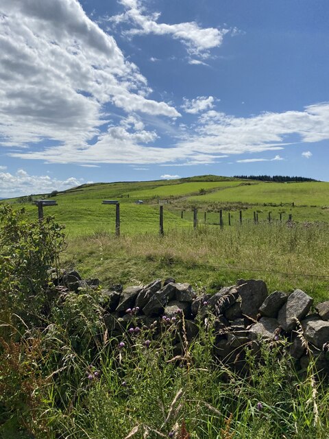
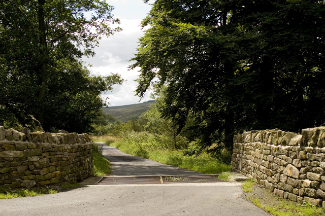
Bay Gate is a popular destination for tourists looking to escape the hustle and bustle of city life. The village offers a peaceful retreat, with its tranquil beaches and scenic coastal walks. The golden sandy beaches stretch for miles, providing ample space for sunbathing, picnicking, and leisurely strolls. The clear waters of the North Sea are perfect for swimming, sailing, and various water sports activities.
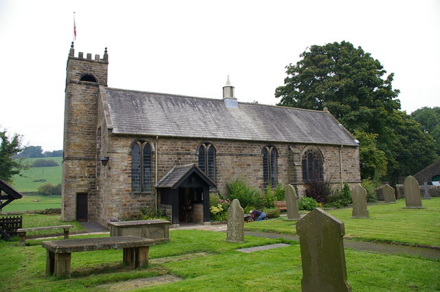
In addition to its natural beauty, Bay Gate also has a rich history. The village is home to several historical landmarks, including a medieval church that dates back to the 12th century. Visitors can explore the church and admire its stunning architecture and intricate stained glass windows.
Overall, Bay Gate is a hidden gem in Yorkshire, offering a blend of natural beauty, historical charm, and a warm community spirit. It is a perfect destination for those seeking a peaceful coastal getaway.
If you have any feedback on the listing, please let us know in the comments section below.
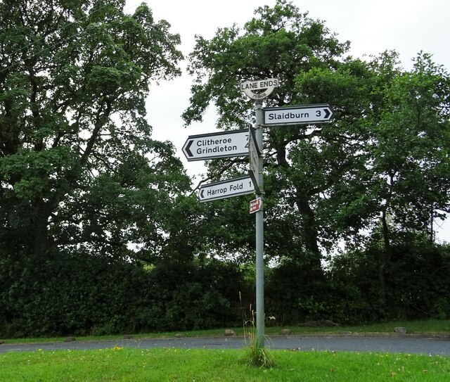
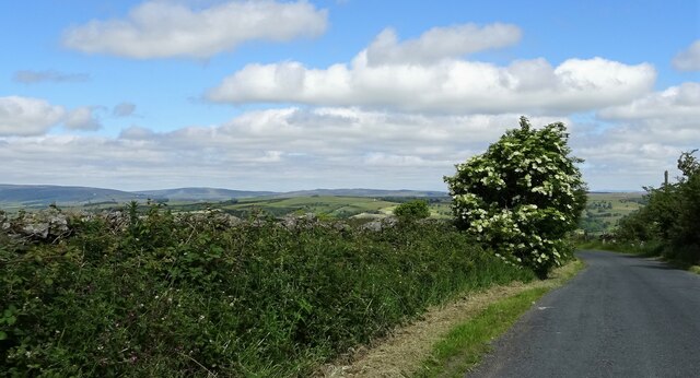
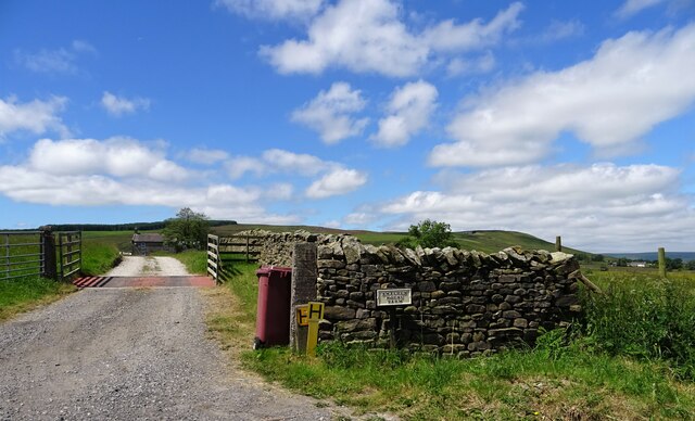
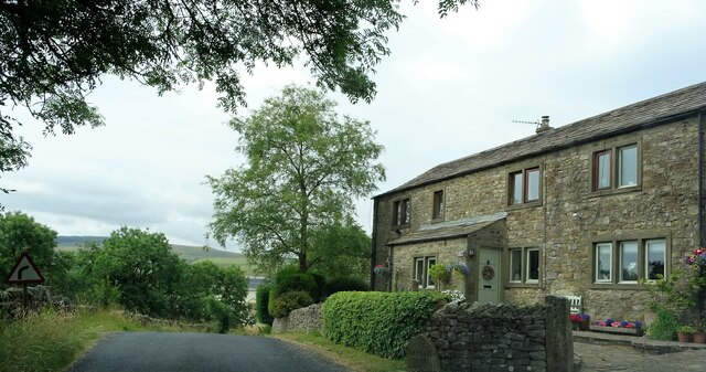
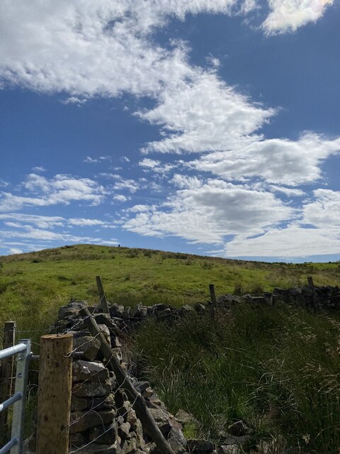
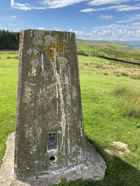
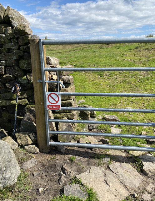
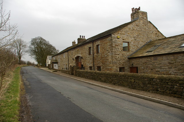
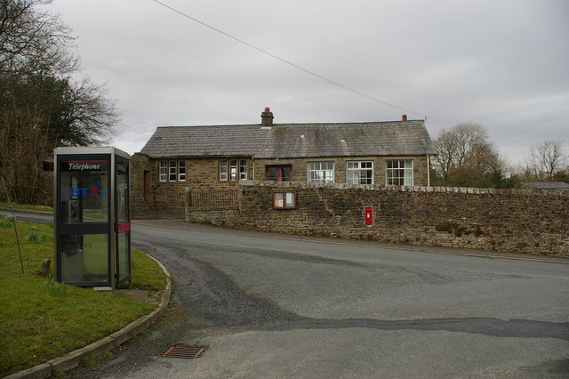
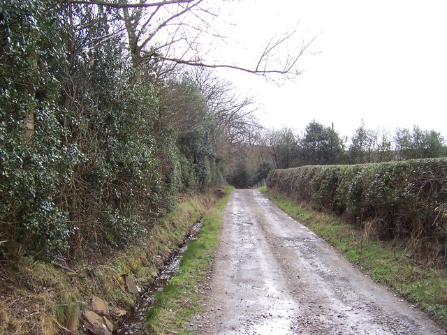
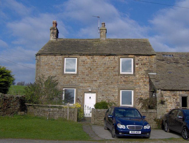
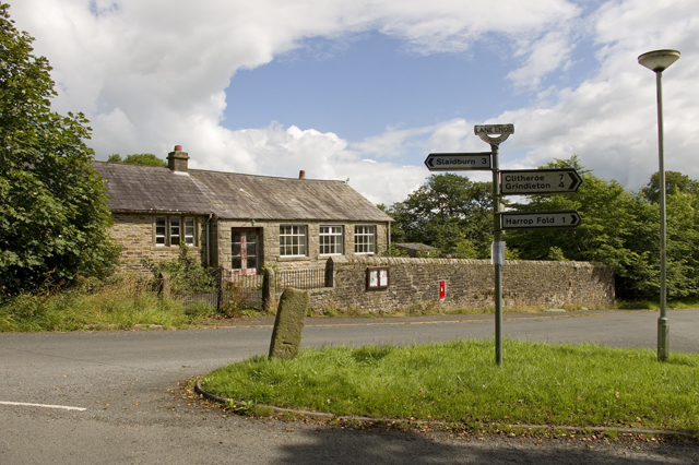
Bay Gate Images
Images are sourced within 2km of 53.936508/-2.3822882 or Grid Reference SD7549. Thanks to Geograph Open Source API. All images are credited.

Bay Gate is located at Grid Ref: SD7549 (Lat: 53.936508, Lng: -2.3822882)
Division: West Riding
Administrative County: Lancashire
District: Ribble Valley
Police Authority: Lancashire
What 3 Words
///dupe.radiated.airless. Near Chatburn, Lancashire
Nearby Locations
Related Wikis

Easington Fell
Easington Fell is a Marilyn in the Forest of Bowland in Lancashire, England. It has been surveyed to be 70 cm higher than a nearby fell of almost identical...

Skirden Beck
Skirden Beck is a minor river in Lancashire, England (historically in the West Riding of Yorkshire). It is approximately 4.3 miles (6.85 km) long and has...

Bowland High
Bowland High is a coeducational secondary school with academy status, located in Grindleton in Lancashire, England. It educates pupils from ages 11–16...

Grindleton
Grindleton is a village and civil parish in the Ribble Valley district of the English county of Lancashire, formerly in the West Riding of Yorkshire. Its...

Grindletonians
The Grindletonians were a Puritan sect that arose in the town of Grindleton in Lancashire, England, in around 1610. The sect remained active in the North...

Bolton-by-Bowland
Bolton-by-Bowland is a village and civil parish in the Ribble Valley district of Lancashire, England. Before 1974, the village was part of Bowland Rural...
St Ambrose's Church, Grindleton
St Ambrose's Church is in the village of Grindleton, which is situated about 3 miles (5 km) northeast of Clitheroe, Lancashire, England. It is an active...

St Peter and St Paul's Church, Bolton-by-Bowland
St Peter and St Paul's Church is in Gisburn Road, Bolton-by-Bowland, Lancashire, England. It is an active Anglican parish church in the deanery of Whalley...
Nearby Amenities
Located within 500m of 53.936508,-2.3822882Have you been to Bay Gate?
Leave your review of Bay Gate below (or comments, questions and feedback).