Broad Pill
Sea, Estuary, Creek in Monmouthshire
Wales
Broad Pill

The requested URL returned error: 429 Too Many Requests
If you have any feedback on the listing, please let us know in the comments section below.
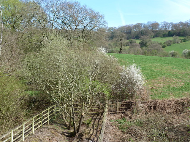
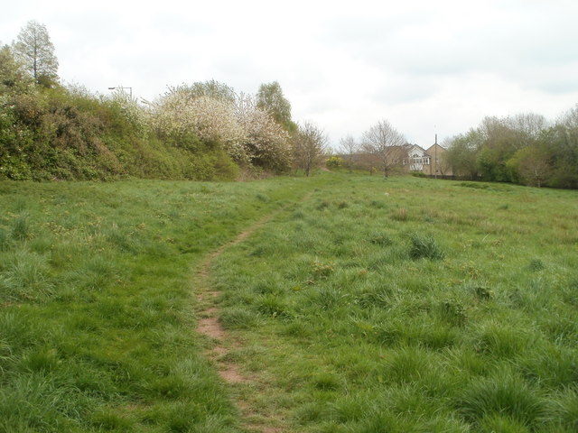
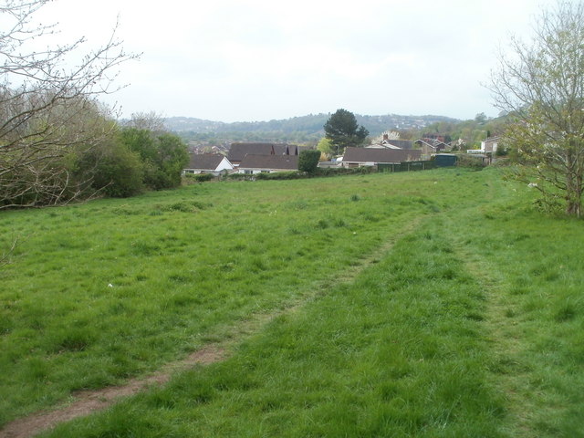
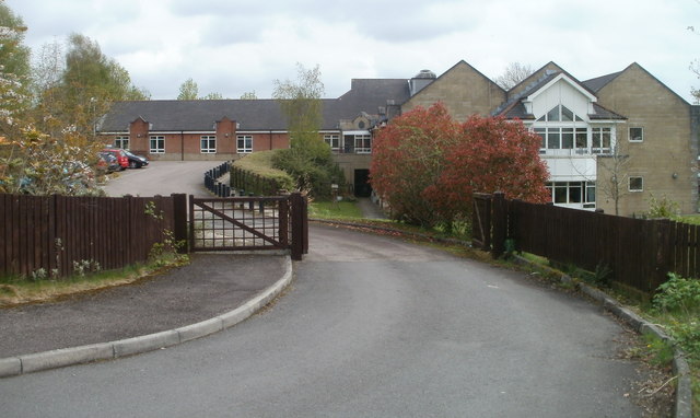
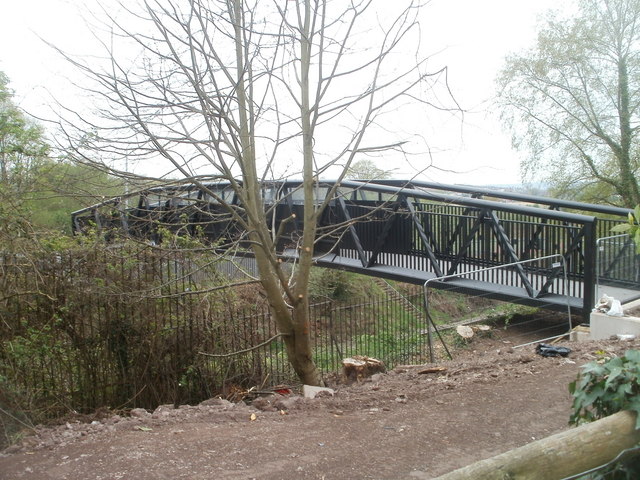
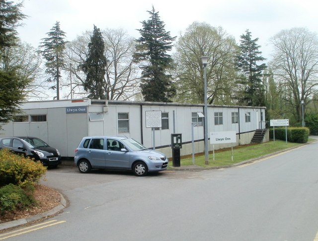
Broad Pill Images
Images are sourced within 2km of 51.608825/-2.9722607 or Grid Reference ST3290. Thanks to Geograph Open Source API. All images are credited.


Broad Pill is located at Grid Ref: ST3290 (Lat: 51.608825, Lng: -2.9722607)
Unitary Authority: Newport
Police Authority: Gwent
What 3 Words
///tips.twigs.rich. Near Caerleon, Newport
Nearby Locations
Related Wikis

Newport Racecourse
Newport Racecourse, also known as Caerleon Racecourse, was a horse racing venue located at Caerleon, near Newport, Wales which staged National Hunt racing...
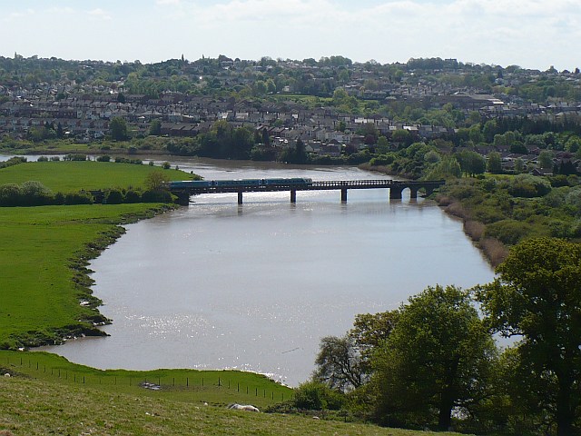
St. Julian's railway bridge
The St. Julian's railway bridge is a crossing of the River Usk close to the city of Newport, South Wales. and currently carries the Welsh Marches Line...

Caerleon Comprehensive School
Caerleon Comprehensive School (Welsh: Ysgol Gyfun Caerllion) is an 11–18 mixed, English-medium community Secondary School and Sixth Form in Caerleon, Newport...

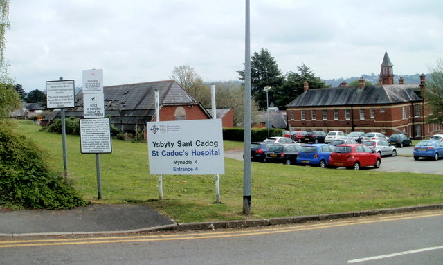
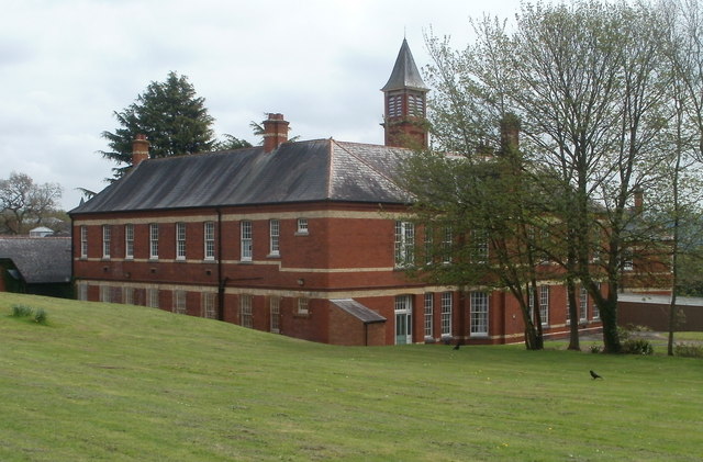
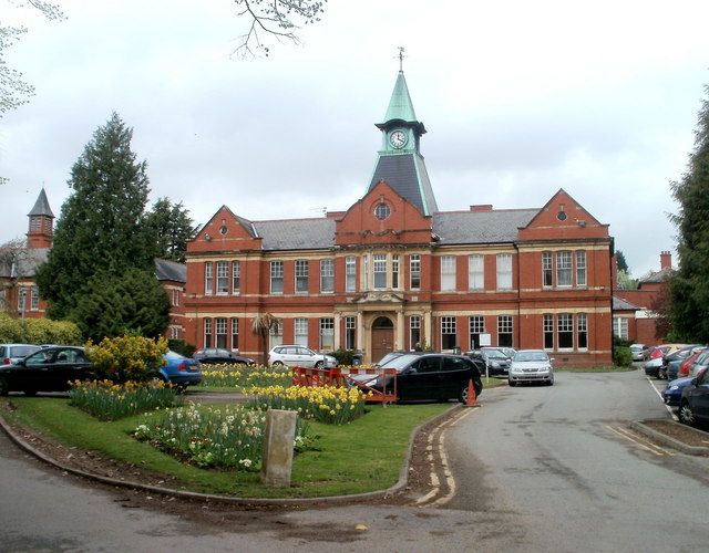
St Cadoc's Hospital
Saint Cadoc's Hospital (Welsh: Ysbyty Sant Cadog) is a mental health facility located in Caerleon on the northern outskirts of the city of Newport, Wales...
Nearby Amenities
Located within 500m of 51.608825,-2.9722607Have you been to Broad Pill?
Leave your review of Broad Pill below (or comments, questions and feedback).