West Channel

Sea, Estuary, Creek in Kirkcudbrightshire

Scotland

West Channel

A75 Gretna-Stranraer Road near Carsluith. Picture taken from the east end of the lay-by, east of Carsluith Castle.
A75 Gretna-Stranraer Road near Carsluith. Credit: Bob Peace

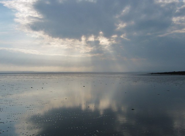
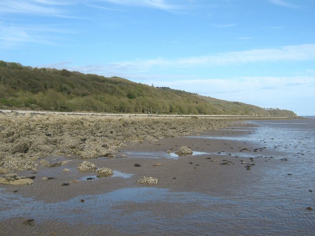
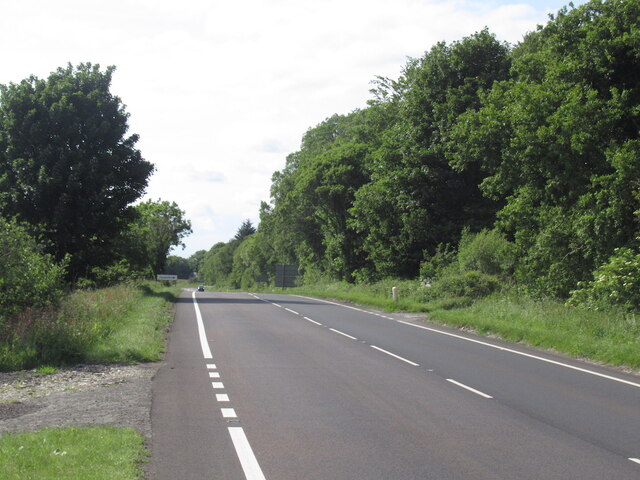
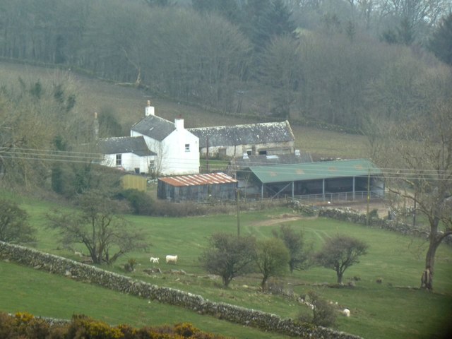
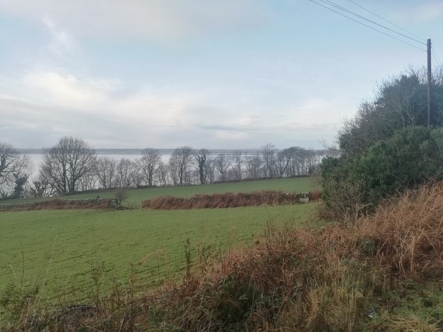
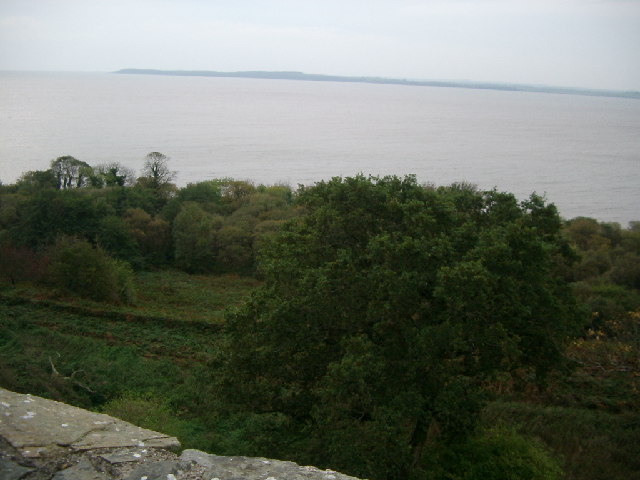
West Channel is a picturesque coastal area located in Kirkcudbrightshire, Scotland. Situated on the southwestern coast, it offers stunning views of the sea, an estuary, and a creek.

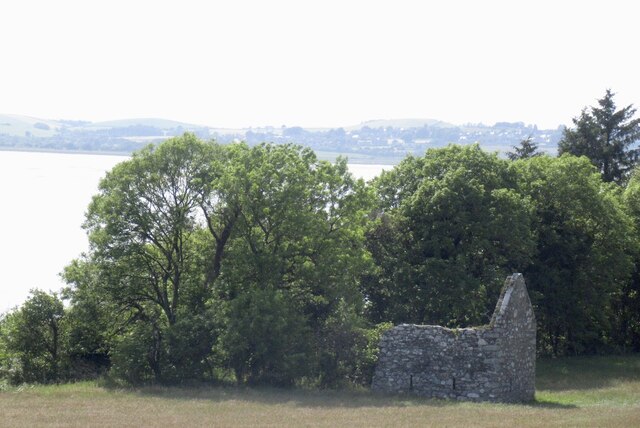
The area is defined by its diverse natural features, making it a popular destination for nature enthusiasts and visitors seeking tranquility. The West Channel is part of the Solway Firth, a large inlet of the Irish Sea. Its crystal-clear waters are home to a variety of marine life, including seals, dolphins, and numerous species of fish. The sea surrounding West Channel is known for its strong tidal currents, making it a popular spot for experienced kayakers and sailors.

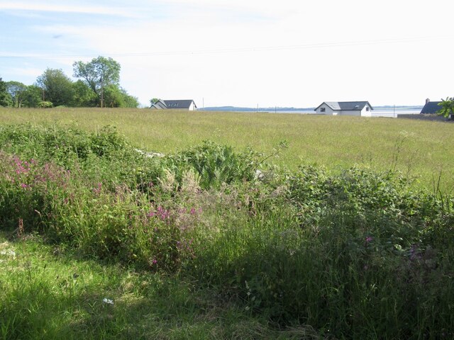
The estuary, formed by the confluence of a river and the sea, adds to the beauty of the landscape. It is an important habitat for various bird species, such as herons, oystercatchers, and curlews. During low tide, the estuary reveals vast mudflats, which attract a plethora of wading birds.

The creek in West Channel provides a sheltered haven for small boats and yachts. It is a peaceful spot for fishing or simply enjoying the tranquil surroundings. The creek's calm waters and gentle currents make it an ideal place for beginners to practice their sailing skills.

West Channel, Kirkcudbrightshire, offers a unique blend of sea, estuary, and creek, making it a haven for wildlife and a paradise for nature lovers.

If you have any feedback on the listing, please let us know in the comments section below.
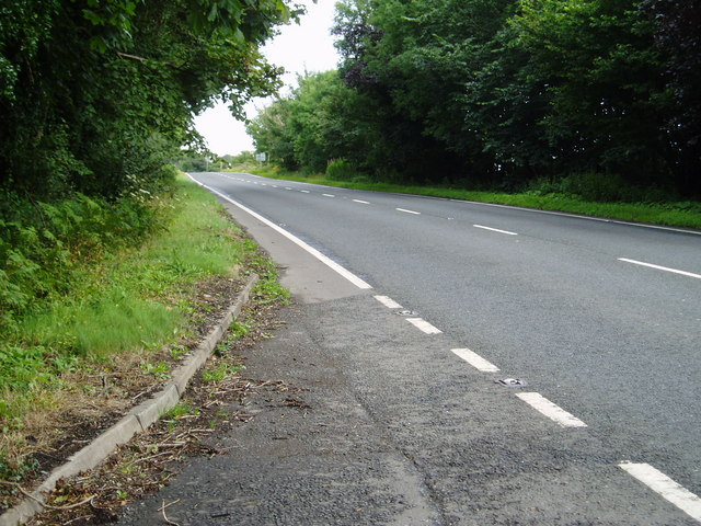
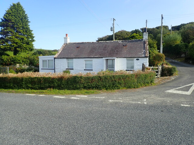
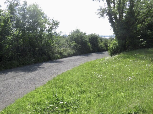
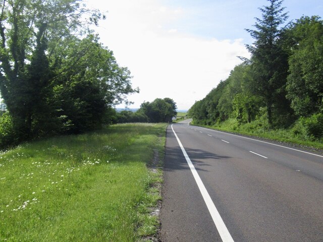
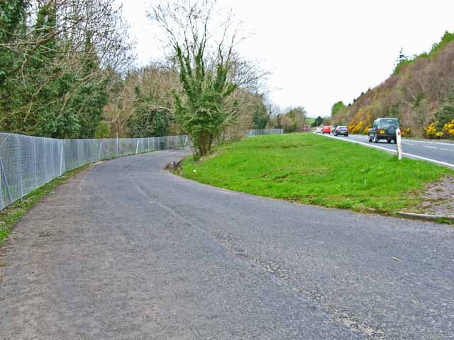
West Channel Images

Images are sourced within 2km of 54.84827/-4.3583337 or Grid Reference NX4852. Thanks to Geograph Open Source API. All images are credited.

A75 Gretna-Stranraer Road near Carsluith. Picture taken from the east end of the lay-by, east of Carsluith Castle.
A75 Gretna-Stranraer Road near Carsluith.
Picture taken from the east end of the lay-by, east of Carsluith Castle.
Kirkdale Port shoreline, looking north west
Wigtown Bay at low tide This photograph was taken at extreme low tide on the Kirkdale Sands. In the far distance the Machars can be seen whilst the edge of the rocky foreshore is on the right.
Wigtown Bay at low tide
This photograph was taken at extreme low tide on the Kirkdale Sands. In the far distance the Machars can be seen whilst the edge of the rocky foreshore is on the right.
Low tide on Kirkdale Sands The white of Kirkdale Port can just be glimpsed through the trees.  Ravenshill Point is in the far distance.
Low tide on Kirkdale Sands
The white of Kirkdale Port can just be glimpsed through the trees. Ravenshill Point is in the far distance.
Perching on the Bagbie signpost Perching spot for a few sparrows
Perching on the Bagbie signpost
Perching spot for a few sparrows
Cottage at Carsluith
Old road alignment, Carsluith Now a layby.
Old road alignment, Carsluith
Now a layby.
A75, Carsluith
A75, Carsluith
Ruin, Carsluith A mid 19th century map shows a thrashing machine here. Presumably that would have been steam powered.
Ruin, Carsluith
A mid 19th century map shows a thrashing machine here. Presumably that would have been steam powered.
A75, Carsluith
A75, Carsluith
South of the A75, Carsluith
Old milestone A view of the milestone in the short pull-in by Carsluith village hall and just northwest of the bridge over the Carsluith Burn which empties into Wigtown Bay.
Old milestone
A view of the milestone in the short pull-in by Carsluith village hall and just northwest of the bridge over the Carsluith Burn which empties into Wigtown Bay.
Old milestone The milestones of the same style as the one in Carsluith village initially had 3 metal plates.   Although the Carsluith milestone has lost its triangular plate forged with LONDON/372/PORT_P/42 it does have the oval ones on each face   Because this stone is between Newton Stewart and Gatehouse of Fleet it has the initial letter, and arrow pointing which way and a mileage.   N/arrow to left/9 is on the other face.  The stones were fashioned by a mason, R Tait, of Castle Douglas and the plates forged by J Affleck of Dumfries.
Old milestone
The milestones of the same style as the one in Carsluith village initially had 3 metal plates. Although the Carsluith milestone has lost its triangular plate forged with LONDON/372/PORT_P/42 it does have the oval ones on each face Because this stone is between Newton Stewart and Gatehouse of Fleet it has the initial letter, and arrow pointing which way and a mileage. N/arrow to left/9 is on the other face. The stones were fashioned by a mason, R Tait, of Castle Douglas and the plates forged by J Affleck of Dumfries.
Stroans Farm From Doon of Stroans
Stroans Farm
From Doon of Stroans
View from the A75 near Stroans Fields and woods close to Wigtown Bay.
View from the A75 near Stroans
Fields and woods close to Wigtown Bay.
Carsluith Castle Historic Scotland property
Carsluith Castle
Historic Scotland property
Carsluith Wood from Carsluith Castle With Eggerton Point across Wigtown Bay.
Carsluith Wood from Carsluith Castle
With Eggerton Point across Wigtown Bay.
Layby on the A75 A layby on the busy A75 (Dumfries to Stranraer road) just south of Carsluith Castle. Note the high fence flanking the layby intended to thwart fly tippers.
Layby on the A75
A layby on the busy A75 (Dumfries to Stranraer road) just south of Carsluith Castle. Note the high fence flanking the layby intended to thwart fly tippers.
Show me another place!

West Channel is located at Grid Ref: NX4852 (Lat: 54.84827, Lng: -4.3583337)

Unitary Authority: Dumfries and Galloway

Police Authority: Dumfries and Galloway

What 3 Words

///novel.scariest.cadet. Near Whithorn, Dumfries & Galloway

Nearby Locations

West Channel

Related Wikis

River Cree

The River Cree is a river in Dumfries and Galloway, Scotland which runs through Newton Stewart and into the Solway Firth. It forms part of the boundary...
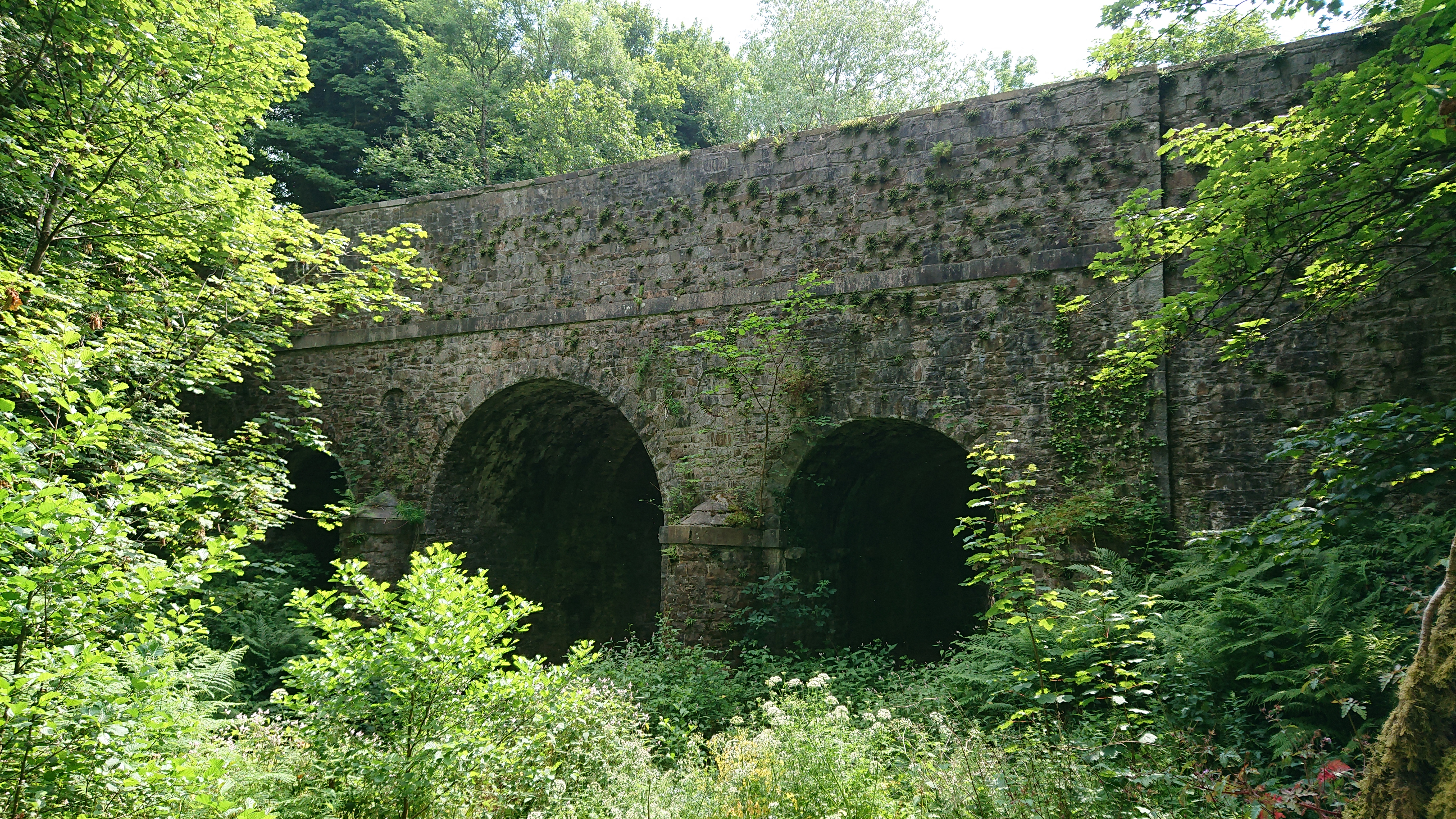
Kirkdale Bridge

Kirkdale Bridge is a bridge over the Kirkdale Burn in the parish of Kirkmabreck, between Gatehouse of Fleet and Creetown in Dumfries and Galloway, Scotland...

Ravenshall Wood

Ravenshall Wood is a Site of Special Scientific Interest, located 5 kilometres east of Creetown in the historic county of Kirkcudbrightshire, Dumfries...

Cairnholy

Cairnholy (or Cairn Holy) is the site of two Neolithic chambered tombs of the Clyde type. It is located 4 kilometres east of the village of Carsluith in...

Have you been to West Channel?

Leave your review of West Channel below (or comments, questions and feedback).