Penpol Creek
Sea, Estuary, Creek in Cornwall
England
Penpol Creek
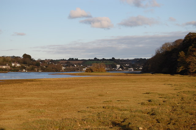
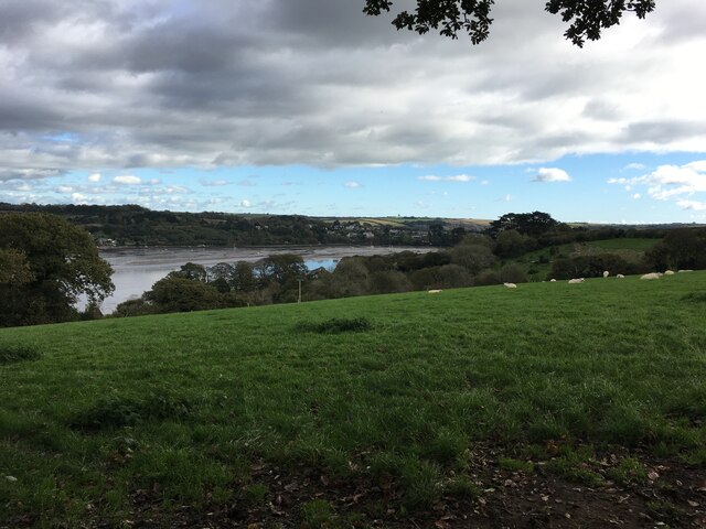
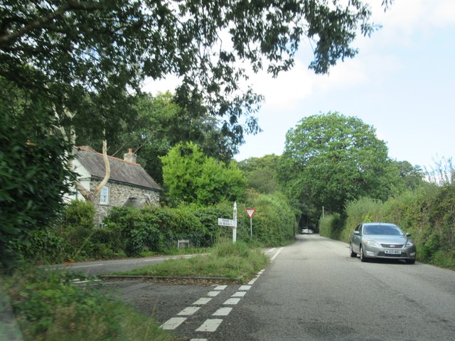
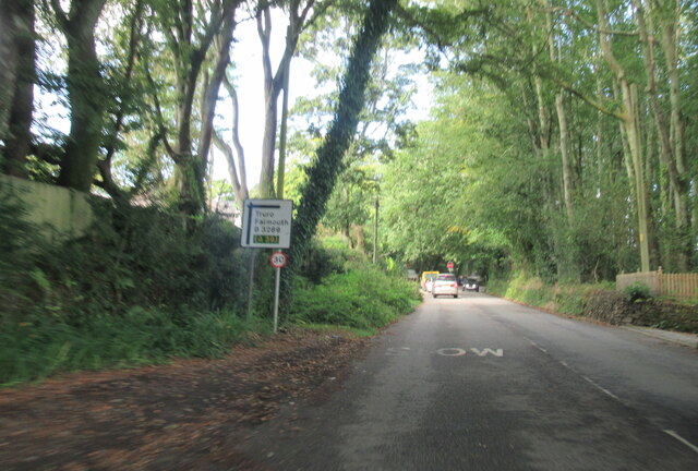
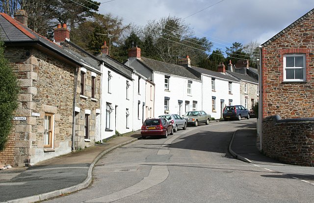
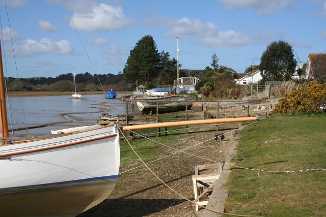
Penpol Creek is a small tidal creek located in Cornwall, England. It is situated approximately 2 kilometers northwest of the village of Devoran and flows into the Carrick Roads, a large estuary that connects to the Atlantic Ocean. The creek is surrounded by lush greenery and offers stunning views of the surrounding countryside.
As a tidal creek, Penpol Creek experiences significant variations in water levels throughout the day, with the tide reaching its highest point during high tide. During low tide, the creek's muddy banks are exposed, creating a unique landscape that is home to a diverse range of plant and animal species.
The creek is a popular spot for boating and water activities, as its calm waters provide a tranquil environment for sailing, kayaking, and paddleboarding. Fishing enthusiasts also frequent the creek, as it is known for its abundant marine life, including bass, flounder, and mullet.
The area surrounding Penpol Creek is a haven for wildlife. Birdwatchers can spot a variety of avian species, such as herons, egrets, and kingfishers, which are attracted to the creek's rich food sources. The creek is also home to various species of crabs, shellfish, and small fish, making it an important ecosystem within the region.
Overall, Penpol Creek offers visitors a unique and picturesque setting to immerse themselves in nature, explore the waterways, and appreciate the diverse wildlife that thrives in this beautiful corner of Cornwall.
If you have any feedback on the listing, please let us know in the comments section below.
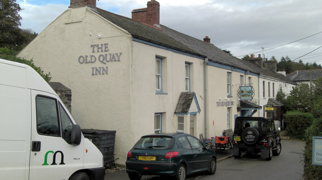
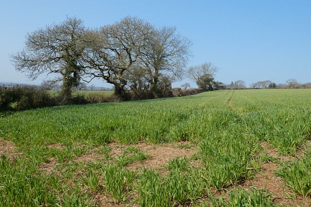
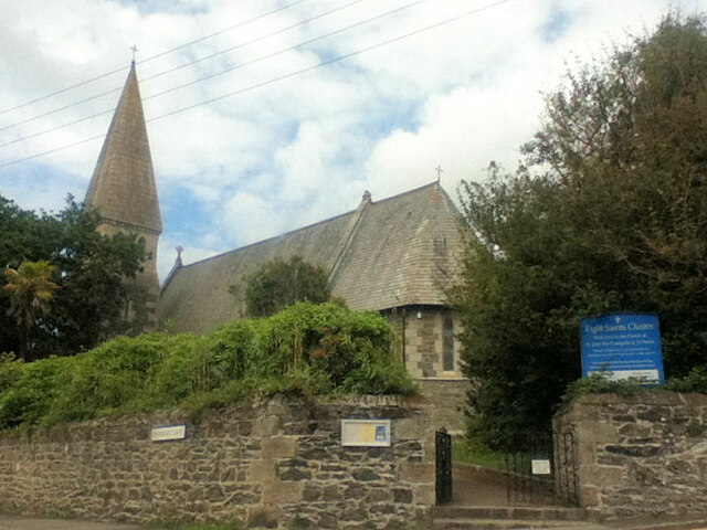
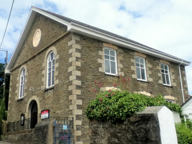
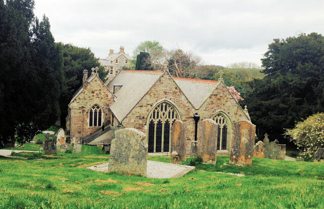
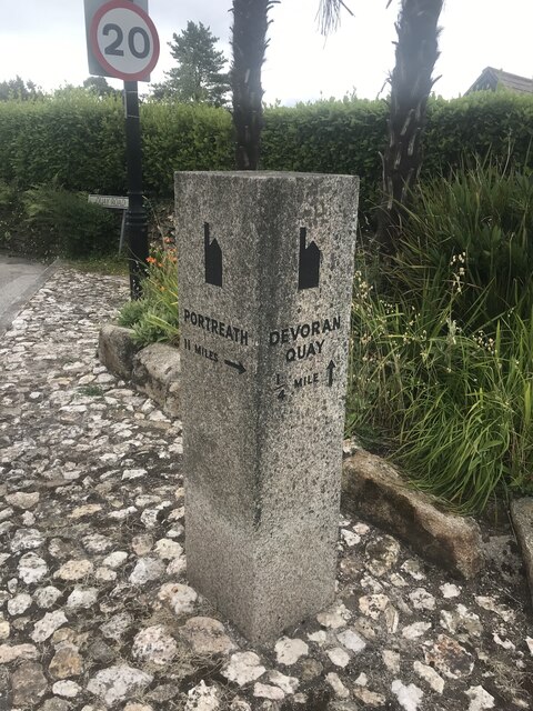
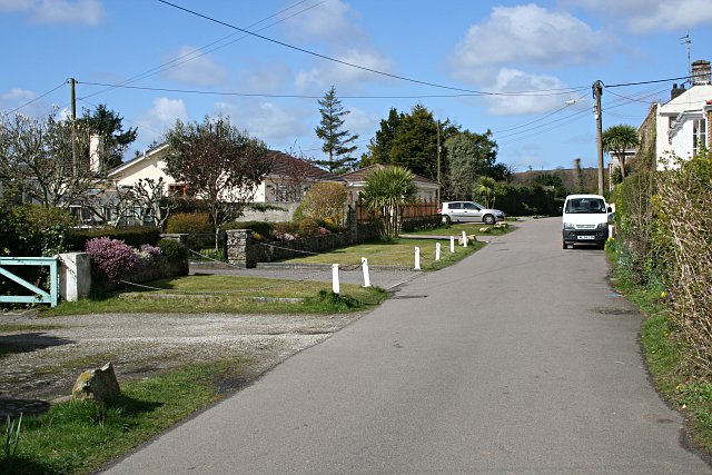
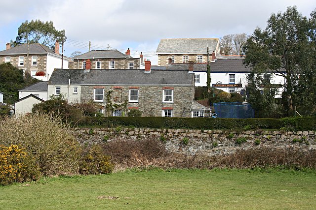
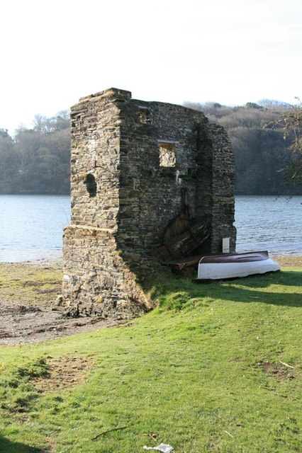
Penpol Creek Images
Images are sourced within 2km of 50.206162/-5.0673927 or Grid Reference SW8138. Thanks to Geograph Open Source API. All images are credited.
Penpol Creek is located at Grid Ref: SW8138 (Lat: 50.206162, Lng: -5.0673927)
Unitary Authority: Cornwall
Police Authority: Devon and Cornwall
What 3 Words
///hothouse.seaside.majoring. Near Mylor Bridge, Cornwall
Nearby Locations
Related Wikis

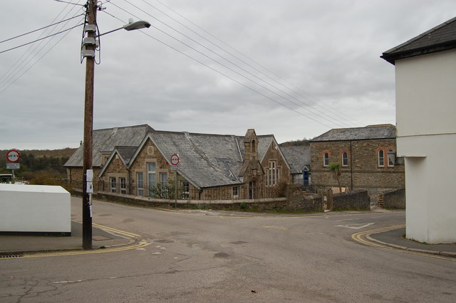
Chycoose
Chycoose (Cornish: Chy'n Coos, meaning house of the wood), Point and Penpol (Cornish: Pen Pol, meaning head of a creek) form a coastal settlement around...
Carnon Mine
Carnon Mine was a tin mine at Restronguet Creek, near the village of Devoran in Cornwall, England. A ruined engine house survives on the north bank of...

Porthgwidden
Porthgwidden (Cornish: Porth Gwydn, meaning white cove) is a small hamlet in Cornwall, England, United Kingdom. It is located in the civil parish of Feock...

Carnon River
The Carnon River (Cornish: Avon Carnon) is a heavily polluted river in Cornwall, England, United Kingdom. It starts in Chacewater. Both Trewedna Water...
Nearby Amenities
Located within 500m of 50.206162,-5.0673927Have you been to Penpol Creek?
Leave your review of Penpol Creek below (or comments, questions and feedback).