Bàgh Orasaigh

Sea, Estuary, Creek in Inverness-shire

Scotland

Bàgh Orasaigh

Footbridge on the Hebridean Way Sturdy footbridge on the Hebridean Way west of Langass Lodge
Footbridge on the Hebridean Way Credit: Alan Pickup

Bàgh Orasaigh, located in Inverness-shire, Scotland, is a picturesque coastal area encompassing a sea, estuary, and creek. Nestled along the western coast of Scotland, it offers breathtaking natural beauty and a diverse range of wildlife.

The sea component of Bàgh Orasaigh boasts stunning azure waters, with waves crashing against the rugged cliffs that surround the area. It is a haven for water sports enthusiasts, with opportunities for surfing, kayaking, and swimming. The sea also provides an abundance of marine life, including seals, dolphins, and various species of fish.

The estuary is a prominent feature of Bàgh Orasaigh, where a river meets the sea. This creates a unique ecosystem, with a mix of saltwater and freshwater species. The estuary is home to a variety of bird species, such as herons, oystercatchers, and curlews, making it a renowned spot for birdwatching.

A creek meanders through Bàgh Orasaigh, adding to its charm. The creek is often lined with picturesque banks, lush vegetation, and tranquil walking trails. It offers a peaceful retreat for those seeking solace in nature.

Bàgh Orasaigh is a destination that caters to both nature enthusiasts and those seeking relaxation. Its natural beauty, diverse wildlife, and opportunities for outdoor activities make it a must-visit location in Inverness-shire. Whether you choose to explore the sea, estuary, or creek, you are sure to be captivated by the enchanting surroundings of Bàgh Orasaigh.

If you have any feedback on the listing, please let us know in the comments section below.

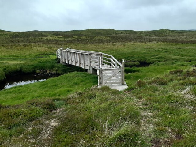
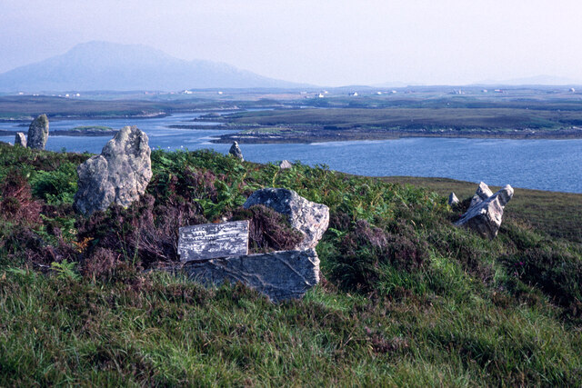
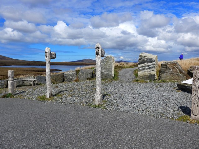
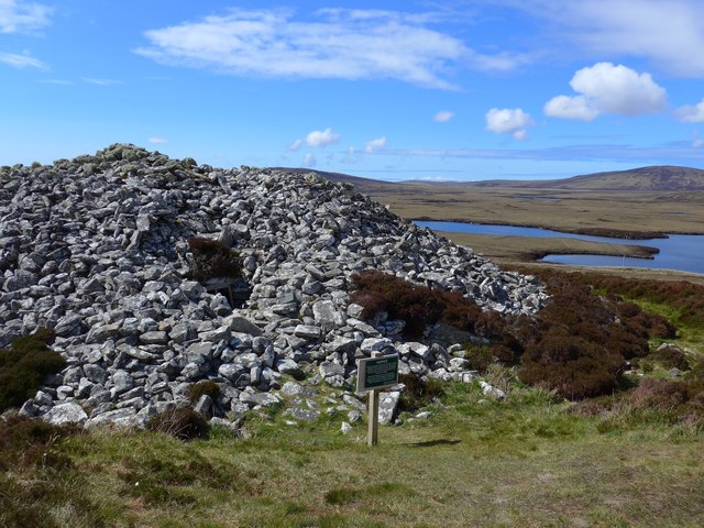
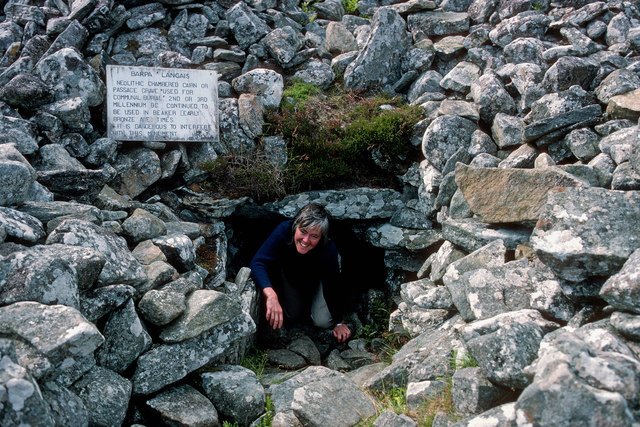
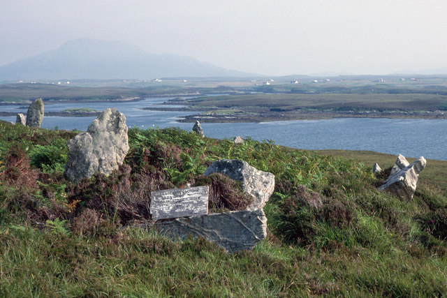
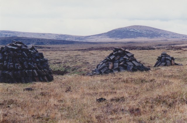
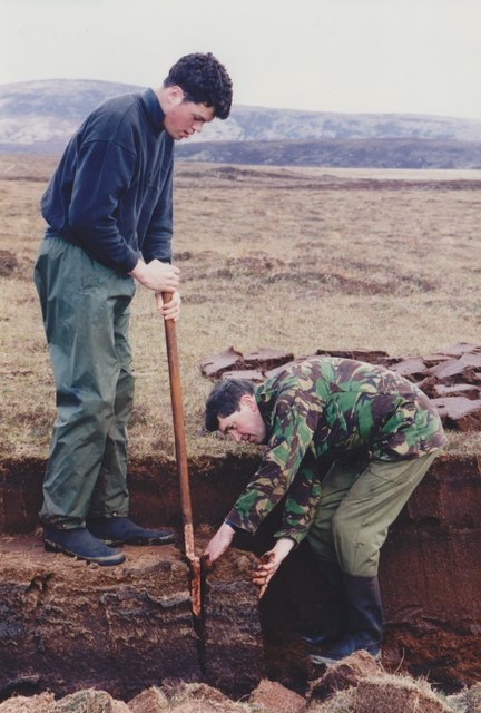
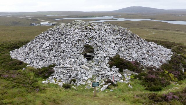
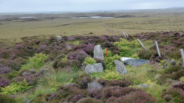
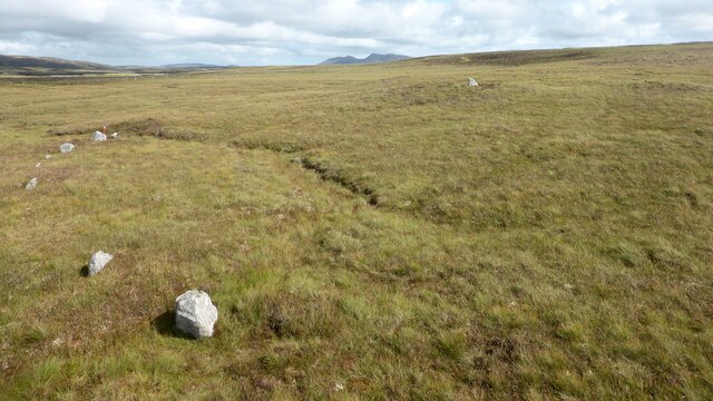
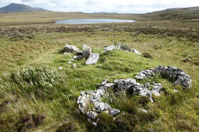
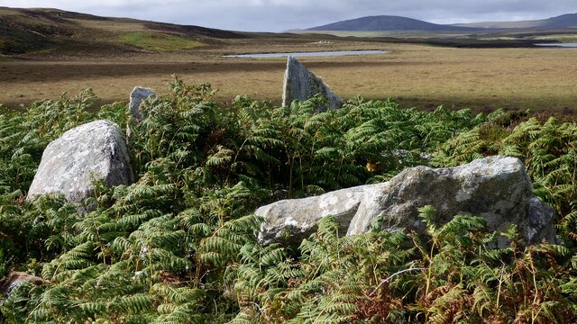
Bàgh Orasaigh Images

Images are sourced within 2km of 57.556274/-7.2839507 or Grid Reference NF8464. Thanks to Geograph Open Source API. All images are credited.

Footbridge on the Hebridean Way Sturdy footbridge on the Hebridean Way west of Langass Lodge
Footbridge on the Hebridean Way
Sturdy footbridge on the Hebridean Way west of Langass Lodge
Hebridean Way View SE from the Hebridean Way west of Langass Lodge. In the distance is the distinctive shape of Eabhal.
Hebridean Way
View SE from the Hebridean Way west of Langass Lodge. In the distance is the distinctive shape of Eabhal.
Pobull Fhinn Stone Circle by Loch Langais The dilapidated sign calls the area the Langass Stone Circle.  The hill Eaval is in the distance.
Pobull Fhinn Stone Circle by Loch Langais
The dilapidated sign calls the area the Langass Stone Circle. The hill Eaval is in the distance.
The start of the path to Barpa Langass chambered cairn This is  a Neolithic chambered cairn. It diameter is about 22 metres by 5.5 metres high, and is around 5,000 years old.  Unfortunately there has been a recent collapse and entry (although possible) is no longer approved.
The start of the path to Barpa Langass chambered cairn
This is a Neolithic chambered cairn. It diameter is about 22 metres by 5.5 metres high, and is around 5,000 years old. Unfortunately there has been a recent collapse and entry (although possible) is no longer approved.
Barpa Langass chambered cairn This is  a Neolithic chambered cairn. It diameter is about 22 metres by 5.5 metres high, and is around 5,000 years old.  Unfortunately there has been a recent collapse and entry (although possible) is no longer approved.
Barpa Langass chambered cairn
This is a Neolithic chambered cairn. It diameter is about 22 metres by 5.5 metres high, and is around 5,000 years old. Unfortunately there has been a recent collapse and entry (although possible) is no longer approved.
Entrance to Barpa Langass in 1986 No restrictions on access to the chambered cairn in 1986 - so a return trip recently greatly disappointed as access to the interior is barred.

In 1986 I remember no car park or "Interpretation Board" except the small board beside the entrance.

According to the Canmore website

Barpa Langass, 3rd millennium bc The tumulus of some eminent warrior, or perhaps of a Neolithic tribe, this is one of the best survivals of a barpa or massive chambered cairn of the passage-grave type. Prominent on the hillside, the circular mound of stones conceals the only known intact megalithic chamber in the Western Isles.
Entrance to Barpa Langass in 1986
No restrictions on access to the chambered cairn in 1986 - so a return trip recently greatly disappointed as access to the interior is barred. In 1986 I remember no car park or "Interpretation Board" except the small board beside the entrance. According to the Canmore website Barpa Langass, 3rd millennium bc The tumulus of some eminent warrior, or perhaps of a Neolithic tribe, this is one of the best survivals of a barpa or massive chambered cairn of the passage-grave type. Prominent on the hillside, the circular mound of stones conceals the only known intact megalithic chamber in the Western Isles.
Langass Stone Circle Some of the two dozen surviving stones of the circle known as the People of Fingal above Loch Langais.

<a href="https://www.geograph.org.uk/photo/1341929">NF8465 : Pobull Fhinn</a> shows the identical view 23 years later.  Gone is the information board that sat so well on the horizontal slab. The board states the place as Langass Stone Circle after giving the name in Gaelic.  Pobull Fhinn is also mentioned.

Eaval is the hill in the far distance.
Langass Stone Circle
Some of the two dozen surviving stones of the circle known as the People of Fingal above Loch Langais. NF8465 : Pobull Fhinn shows the identical view 23 years later. Gone is the information board that sat so well on the horizontal slab. The board states the place as Langass Stone Circle after giving the name in Gaelic. Pobull Fhinn is also mentioned. Eaval is the hill in the far distance.
Peat stacks beside the A867 Looking towards Marrogh (168m) in the distance.
Peat stacks beside the A867
Looking towards Marrogh (168m) in the distance.
Cutting peats beside the A867 Traditional cutting of peats to dry for fuel in North Uist.
Cutting peats beside the A867
Traditional cutting of peats to dry for fuel in North Uist.
Cutting peats beside the A867 Traditional cutting of peats to dry for fuel in North Uist.
Cutting peats beside the A867
Traditional cutting of peats to dry for fuel in North Uist.
Statue of Hercules in Langass Wood Hercules, a grizzly bear, gained international stardom when going missing for 24 days after escaping while filming a television commercial on Benbecula in 1980. He was found on North Uist. He died in 2001 aged 25 and a statue was erected in his memory.
Statue of Hercules in Langass Wood
Hercules, a grizzly bear, gained international stardom when going missing for 24 days after escaping while filming a television commercial on Benbecula in 1980. He was found on North Uist. He died in 2001 aged 25 and a statue was erected in his memory.
Barpa Langass chambered cairn An impressive cairn with surviving chamber which is no longer safe to enter (Scale 1m). <span class="nowrap"><a title="https://canmore.org.uk/site/10236/north-uist-barpa-langass" rel="nofollow ugc noopener" href="https://canmore.org.uk/site/10236/north-uist-barpa-langass">Link</a><img style="margin-left:2px;" alt="External link" title="External link - shift click to open in new window" src="https://s1.geograph.org.uk/img/external.png" width="10" height="10"/></span>
Barpa Langass chambered cairn
An impressive cairn with surviving chamber which is no longer safe to enter (Scale 1m). LinkExternal link
Craonaval chambered cairn Damaged remains of a chambered cairn hiding in the heather. <span class="nowrap"><a title="https://canmore.org.uk/site/10293/north-uist-craonaval" rel="nofollow ugc noopener" href="https://canmore.org.uk/site/10293/north-uist-craonaval">Link</a><img style="margin-left:2px;" alt="External link" title="External link - shift click to open in new window" src="https://s1.geograph.org.uk/img/external.png" width="10" height="10"/></span>
Craonaval chambered cairn
Damaged remains of a chambered cairn hiding in the heather. LinkExternal link
Two cairns and shielings at Craonaval The stone structures in the foreground are the remains of shielings built into the top of a cairn. <span class="nowrap"><a title="https://canmore.org.uk/site/10284/north-uist-craonaval-south" rel="nofollow ugc noopener" href="https://canmore.org.uk/site/10284/north-uist-craonaval-south">Link</a><img style="margin-left:2px;" alt="External link" title="External link - shift click to open in new window" src="https://s1.geograph.org.uk/img/external.png" width="10" height="10"/></span> A second cairn is visible as a green mound in the middle distance. This cairn contains a possible chamber. <span class="nowrap"><a title="https://canmore.org.uk/site/10253/north-uist-craonaval-north" rel="nofollow ugc noopener" href="https://canmore.org.uk/site/10253/north-uist-craonaval-north">Link</a><img style="margin-left:2px;" alt="External link" title="External link - shift click to open in new window" src="https://s1.geograph.org.uk/img/external.png" width="10" height="10"/></span>
Two cairns and shielings at Craonaval
The stone structures in the foreground are the remains of shielings built into the top of a cairn. LinkExternal link A second cairn is visible as a green mound in the middle distance. This cairn contains a possible chamber. LinkExternal link
Sornach a' Phobuill stone circle A stone circle also known as Sornach Coir' Fhinn. The north western sector survives best. <span class="nowrap"><a title="https://canmore.org.uk/site/10269/north-uist-loch-a-phobuill-sornach-coir-fhinn" rel="nofollow ugc noopener" href="https://canmore.org.uk/site/10269/north-uist-loch-a-phobuill-sornach-coir-fhinn">Link</a><img style="margin-left:2px;" alt="External link" title="External link - shift click to open in new window" src="https://s1.geograph.org.uk/img/external.png" width="10" height="10"/></span>
Sornach a' Phobuill stone circle
A stone circle also known as Sornach Coir' Fhinn. The north western sector survives best. LinkExternal link
Loch Glen Na Feannag shieling and chambered cairn The shieling is built on the edge of a much earlier chambered cairn. <span class="nowrap"><a title="https://canmore.org.uk/site/10251/north-uist-loch-glen-na-feannag" rel="nofollow ugc noopener" href="https://canmore.org.uk/site/10251/north-uist-loch-glen-na-feannag">Link</a><img style="margin-left:2px;" alt="External link" title="External link - shift click to open in new window" src="https://s1.geograph.org.uk/img/external.png" width="10" height="10"/></span>
Loch Glen Na Feannag shieling and chambered cairn
The shieling is built on the edge of a much earlier chambered cairn. LinkExternal link
Loch Glen Na Feannag chambered cairn A close up view of the large slabs forming the chamber. <span class="nowrap"><a title="https://canmore.org.uk/site/10251/north-uist-loch-glen-na-feannag" rel="nofollow ugc noopener" href="https://canmore.org.uk/site/10251/north-uist-loch-glen-na-feannag">Link</a><img style="margin-left:2px;" alt="External link" title="External link - shift click to open in new window" src="https://s1.geograph.org.uk/img/external.png" width="10" height="10"/></span>
Loch Glen Na Feannag chambered cairn
A close up view of the large slabs forming the chamber. LinkExternal link
Oban Nam Fiadh chambered cairn Large stones forming part of the chamber. <span class="nowrap"><a title="https://canmore.org.uk/site/10252/north-uist-oban-nam-fiadh" rel="nofollow ugc noopener" href="https://canmore.org.uk/site/10252/north-uist-oban-nam-fiadh">Link</a><img style="margin-left:2px;" alt="External link" title="External link - shift click to open in new window" src="https://s1.geograph.org.uk/img/external.png" width="10" height="10"/></span>
Oban Nam Fiadh chambered cairn
Large stones forming part of the chamber. LinkExternal link
Show me another place!

Bàgh Orasaigh is located at Grid Ref: NF8464 (Lat: 57.556274, Lng: -7.2839507)

Unitary Authority: Na h-Eileanan an Iar

Police Authority: Highlands and Islands

Also known as: Orasay Bay

What 3 Words

///staples.conveying.inhabited. Near Lochmaddy, Na h-Eileanan Siar

Related Wikis

Carinish

Carinish (Scottish Gaelic: Càirinis), is a hamlet on North Uist, in the Outer Hebrides, Scotland. It is in the south of the island, about two miles (three...

Battle of Carinish

The Battle of Carinish was a Scottish clan battle fought in North Uist in 1601. It was part of a year of feuding between Clan MacLeod of Dunvegan and the...

Teampull na Trionaid

Teampull na Trionaid ("trinity church") is a ruined 13th-century Augustinian nunnery at Carinish, on North Uist, in the Outer Hebrides of Scotland. �...

Loch Sgadabhagh

Loch Sgadabhagh or Loch Scadavay is a body of water on the island of North Uist, Scotland. The name may be of Old Norse derivation meaning "lake of tax...

Nearby Amenities

Located within 500m of 57.556274,-7.2839507
Bàgh Orasaigh
Name En: Orasay Bay
Name Gd: Bàgh Orasaigh
Natural: bay
Lat/Long: 57.5572634/-7.2889567
The data included in this document is from www.openstreetmap.org. The data is made available under ODbL.

Have you been to Bàgh Orasaigh?

Leave your review of Bàgh Orasaigh below (or comments, questions and feedback).