Outer Harbour
Sea, Estuary, Creek in Suffolk East Suffolk
England
Outer Harbour

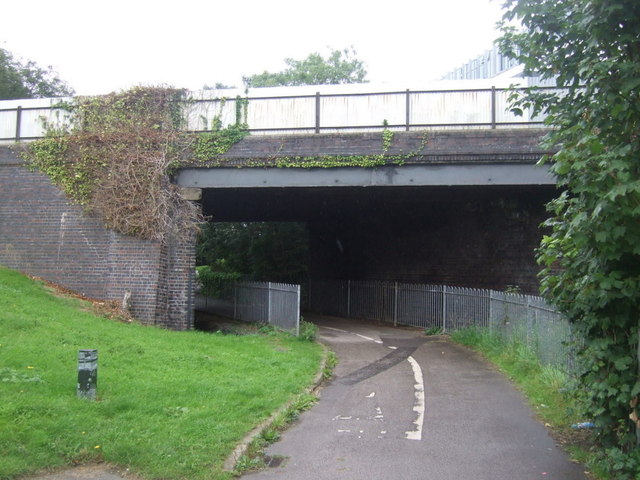
Outer Harbour is a picturesque coastal area located in Suffolk, England. Situated where the River Orwell meets the North Sea, it is a place of natural beauty and maritime significance. The harbor serves as a vital link between the estuary and the open waters of the sea, providing a safe haven for ships and boats.
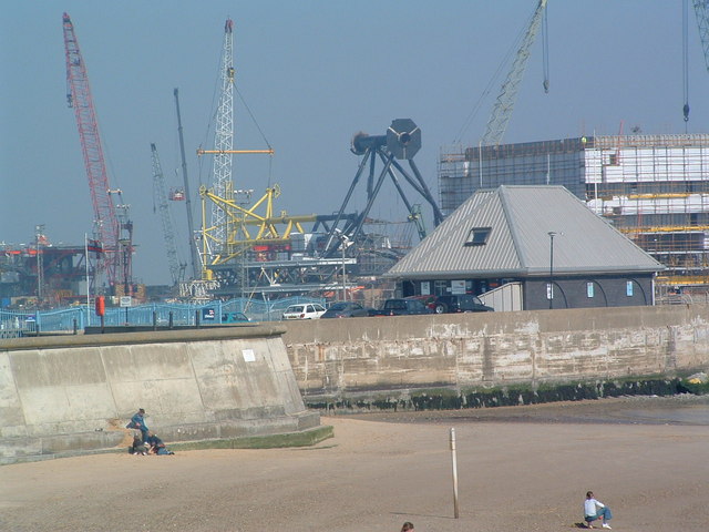
The Outer Harbour is characterized by its expansive sandy beaches, which stretch along the coastline, offering stunning views of the sea. The area is a popular destination for beachgoers, who can enjoy sunbathing, swimming, and various water sports activities. The beach is also home to a thriving ecosystem, with diverse birdlife and marine creatures.
The harbor itself is a bustling hub of activity, with its deep waters accommodating ships of all sizes. It plays a crucial role in the local economy, serving as a major port for the export and import of goods. In addition, the harbor supports a vibrant fishing industry, with local fishermen casting their nets to catch an array of seafood.
Surrounding the harbor is an idyllic countryside, adorned with rolling hills and charming villages. Visitors can explore the area by taking leisurely walks along the coastal paths, enjoying the fresh sea breeze and the panoramic views. The nearby creeks and estuaries are also worth exploring, as they provide opportunities for birdwatching and sailing.
Overall, Outer Harbour in Suffolk is a captivating blend of natural beauty, maritime heritage, and economic significance. Whether it's enjoying the sandy beaches, witnessing the bustling harbor activities, or immersing oneself in the tranquil countryside, this coastal gem offers a truly enriching experience for all who visit.
If you have any feedback on the listing, please let us know in the comments section below.
Outer Harbour Images
Images are sourced within 2km of 52.472537/1.7534349 or Grid Reference TM5592. Thanks to Geograph Open Source API. All images are credited.


Outer Harbour is located at Grid Ref: TM5592 (Lat: 52.472537, Lng: 1.7534349)
Administrative County: Suffolk
District: East Suffolk
Police Authority: Suffolk
What 3 Words
///piper.shin.gains. Near Lowestoft, Suffolk
Nearby Locations
Related Wikis
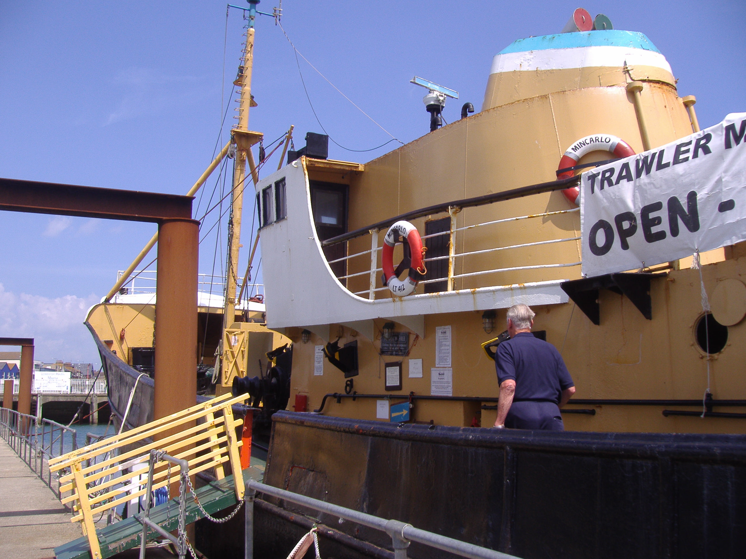
Mincarlo (trawler)
Mincarlo is the last surviving sidewinder fishing trawler of the Lowestoft fishing fleet. She is also the last surviving fishing vessel built in Lowestoft...
Lowestoft Lifeboat Station
Lowestoft Lifeboat Station is a Royal National Lifeboat Institution (RNLI) operated lifeboat station in the town of Lowestoft in the English county of...

South Pier, Lowestoft
South Pier is a leisure pier in Lowestoft, Suffolk, engineered by William Cubitt and opened in 1846 at a length of 1,320 feet (400 m). The pavilion was...

Royal Norfolk and Suffolk Yacht Club
The Royal Norfolk and Suffolk Yacht Club is a private yacht club based in Lowestoft, Suffolk, England. It was founded on 16 April 1859 and the first club...
Nearby Amenities
Located within 500m of 52.472537,1.7534349Have you been to Outer Harbour?
Leave your review of Outer Harbour below (or comments, questions and feedback).