Cliff Reach

Sea, Estuary, Creek in Suffolk East Suffolk

England

Cliff Reach

Church Road Looking north along Church Road Snape, Suffolk.
Church Road Credit: Keith Evans

Cliff Reach is a picturesque area located in Suffolk, England, known for its stunning coastline and scenic views. Situated along the North Sea, this coastal region offers a unique blend of sea, estuary, and creek landscapes.

The area is characterized by its dramatic cliffs, which provide a breathtaking backdrop against the sparkling blue waters of the sea. The rugged coastline is a popular spot for nature enthusiasts and hikers, who enjoy exploring the various trails that traverse the cliffs and offer panoramic views of the surrounding area.

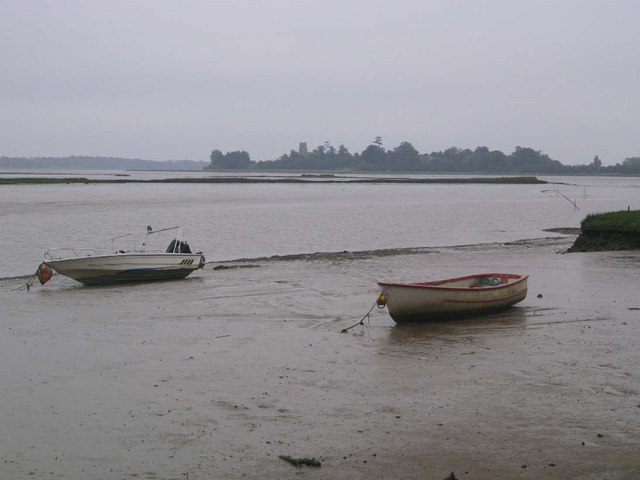
Cliff Reach is also home to a beautiful estuary, where the river meets the sea. This estuary serves as a haven for a diverse range of wildlife, including wading birds, seals, and even the occasional dolphin. It is a haven for birdwatchers, who can observe rare and migratory species in their natural habitat.

In addition to the sea and estuary, Cliff Reach boasts several creeks that wind their way through the landscape. These tranquil waterways provide a tranquil setting for boating and fishing enthusiasts, who can explore the hidden corners of the area while enjoying the serene surroundings.

The nearby town of Cliff Reach offers a charming seaside atmosphere, with quaint shops, cafes, and traditional pubs. Visitors can enjoy fresh seafood, local produce, and traditional English fare while taking in the coastal ambiance.

Overall, Cliff Reach in Suffolk is a place of natural beauty, offering a diverse array of landscapes that showcase the best of England's coastal charm. Whether you're seeking adventure, relaxation, or simply a scenic escape, this area has something to offer for everyone.

If you have any feedback on the listing, please let us know in the comments section below.
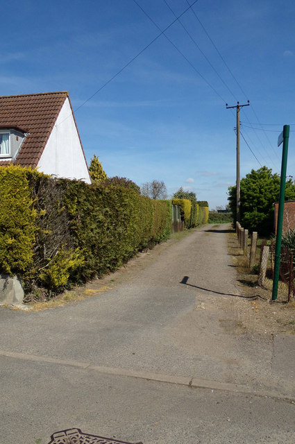
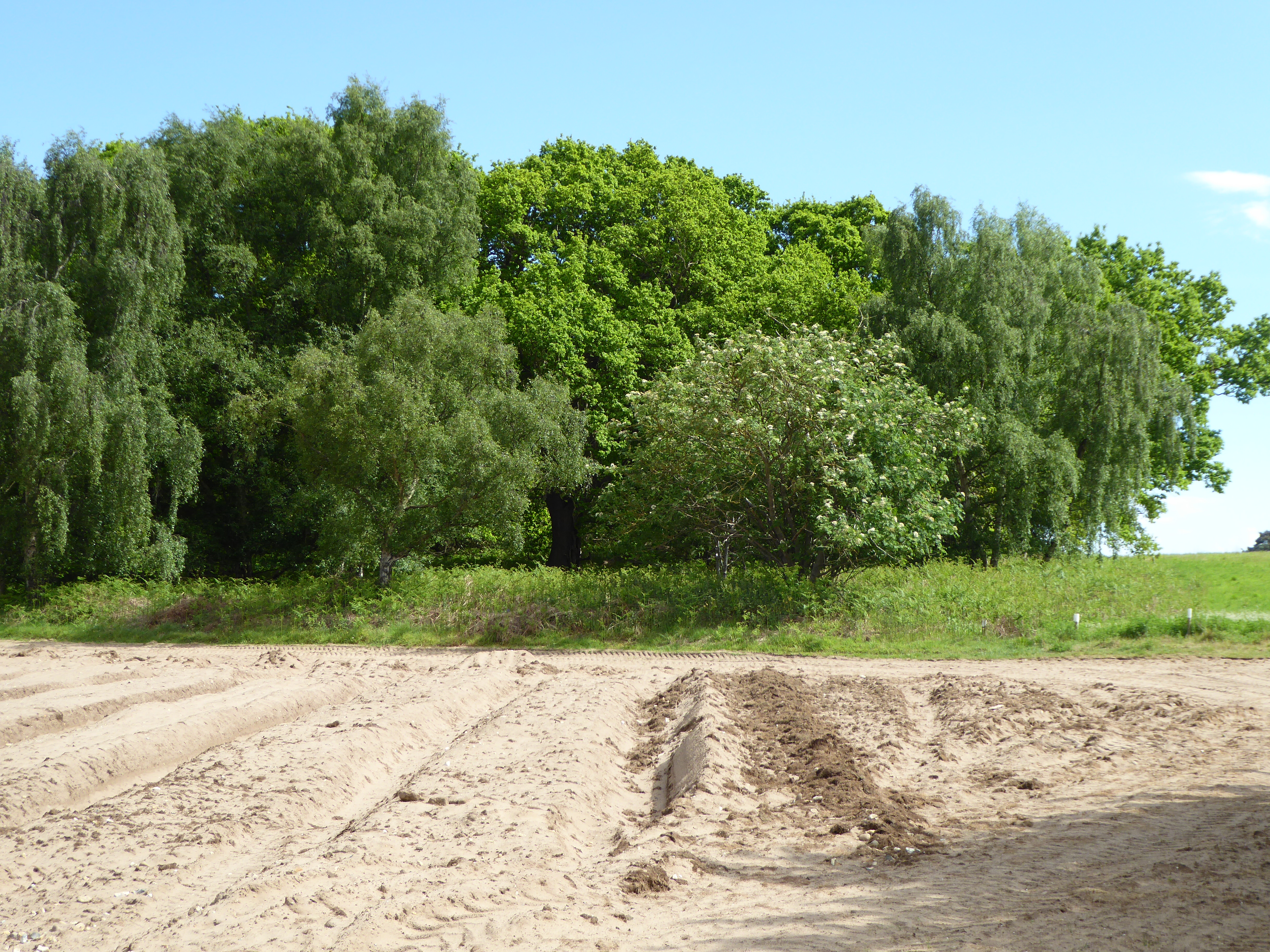
Cliff Reach Images

Images are sourced within 2km of 52.156182/1.509388 or Grid Reference TM4056. Thanks to Geograph Open Source API. All images are credited.

Church Road Looking north along Church Road Snape, Suffolk.
Church Road
Looking north along Church Road Snape, Suffolk.
Snape Maltings wharf
Reed beds and river at Snape Maltings
Snape Maltings horse and cart One of the sculptures and artworks that are dotted around the edge of the Maltings complex.
Snape Maltings horse and cart
One of the sculptures and artworks that are dotted around the edge of the Maltings complex.
Snape Maltings path over the marsh A wooden causeway leading to the river Alde.  The village of Snape can be seen in the distance.
Snape Maltings path over the marsh
A wooden causeway leading to the river Alde. The village of Snape can be seen in the distance.
Snape Maltings, River Alde
Snape Maltings artwork
Snape Maltings buildings
Snape Maltings entrance arch
Snape Maltings pond
Snape Maltings pond
OSBM Bolt Snape Bridge OSBM Bolt Snape Bridge, N Para, R side.
OSBM Bolt Snape Bridge
OSBM Bolt Snape Bridge, N Para, R side.
Snape Maltings buildings and car park
Sculpture at Snape Maltings
Snape Maltings, Suffolk
Entrance to Snape Playing Field Off The Glebes
Entrance to Snape Playing Field
Off The Glebes
Snape Playing Field sign At the entrance to Snape Playing Field off The Glebes
Snape Playing Field sign
At the entrance to Snape Playing Field off The Glebes
The Glebes, Snape At the entrance to Snape Playing Field
The Glebes, Snape
At the entrance to Snape Playing Field
The Glebes, Snape At the entrance to Snape Playing Field
The Glebes, Snape
At the entrance to Snape Playing Field
Show me another place!

Cliff Reach is located at Grid Ref: TM4056 (Lat: 52.156182, Lng: 1.509388)

Administrative County: Suffolk

District: East Suffolk

Police Authority: Suffolk

What 3 Words

///stunner.badminton.unscathed. Near Aldeburgh, Suffolk

Related Wikis

Alde Mudflats

Alde Mudflats is a 22 hectare nature reserve west of Iken in Suffolk. It is owned by the Crown Estate and managed by the Suffolk Wildlife Trust. It is...

Iken Wood

Iken Wood is a 5.3-hectare (13-acre) biological Site of Special Scientific Interest south of Snape in Suffolk. It is in the Suffolk Coast and Heaths Area...

Suffolk Coastal (UK Parliament constituency)

Suffolk Coastal (sometimes known as Coastal Suffolk) is a parliamentary constituency in the county of Suffolk, England which has been represented in the...

Plomesgate Hundred

Plomesgate is a hundred of Suffolk, consisting of 41,579 acres (168.26 km2).Plomesgate Hundred comprises the historic ports of Aldeburgh and Orford, the...

Nearby Amenities

Located within 500m of 52.156182,1.509388
Source: PGS
Lat/Long: 52.1519388/1.5095499
Source: PGS
Lat/Long: 52.1522152/1.5095016
Source: PGS
Lat/Long: 52.1529784/1.5093833
Source: PGS
Lat/Long: 52.1534622/1.5092491
Source: PGS
Lat/Long: 52.153723/1.5090104
Source: PGS
Lat/Long: 52.1524786/1.5074401
Source: PGS
Lat/Long: 52.1529324/1.5063616
Source: PGS
Lat/Long: 52.1531001/1.5058856
Source: PGS
Lat/Long: 52.1556196/1.5056577
Source: PGS
Lat/Long: 52.1569212/1.5039115
Source: PGS
Lat/Long: 52.1575059/1.5044591
Source: PGS
Lat/Long: 52.1576716/1.5046626
Source: PGS
Lat/Long: 52.1585273/1.5042978
Source: PGS
Lat/Long: 52.1590037/1.5037244
Source: PGS
Lat/Long: 52.1600968/1.5095002
Source: PGS
Lat/Long: 52.1598568/1.5091365
Source: PGS
Lat/Long: 52.1594328/1.5109097
Source: PGS
Lat/Long: 52.1591099/1.5121017
Source: PGS
Lat/Long: 52.1586285/1.5124418
Source: PGS
Lat/Long: 52.1587852/1.5129243
Source: PGS
Lat/Long: 52.1585783/1.5130187
Source: PGS
Lat/Long: 52.1582946/1.5127559
Source: PGS
Lat/Long: 52.1573133/1.5122311
Source: PGS
Lat/Long: 52.1567482/1.5117558
Source: PGS
Lat/Long: 52.156606/1.5118558
Source: PGS
Lat/Long: 52.156399/1.5118004
Source: PGS
Lat/Long: 52.1563401/1.5114554
Source: PGS
Lat/Long: 52.156412/1.5108051
Source: PGS
Lat/Long: 52.1563006/1.5122494
Source: PGS
Lat/Long: 52.1558701/1.5134281
Source: PGS
Lat/Long: 52.1561615/1.5137264
Source: PGS
Lat/Long: 52.1566357/1.5144878
Source: PGS
Lat/Long: 52.1571046/1.5157288
Source: PGS
Lat/Long: 52.157371/1.5160919
Source: PGS
Lat/Long: 52.1578884/1.5161383
The data included in this document is from www.openstreetmap.org. The data is made available under ODbL.

Have you been to Cliff Reach?

Leave your review of Cliff Reach below (or comments, questions and feedback).