Althorne Creek
Sea, Estuary, Creek in Essex Maldon
England
Althorne Creek

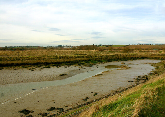
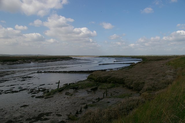
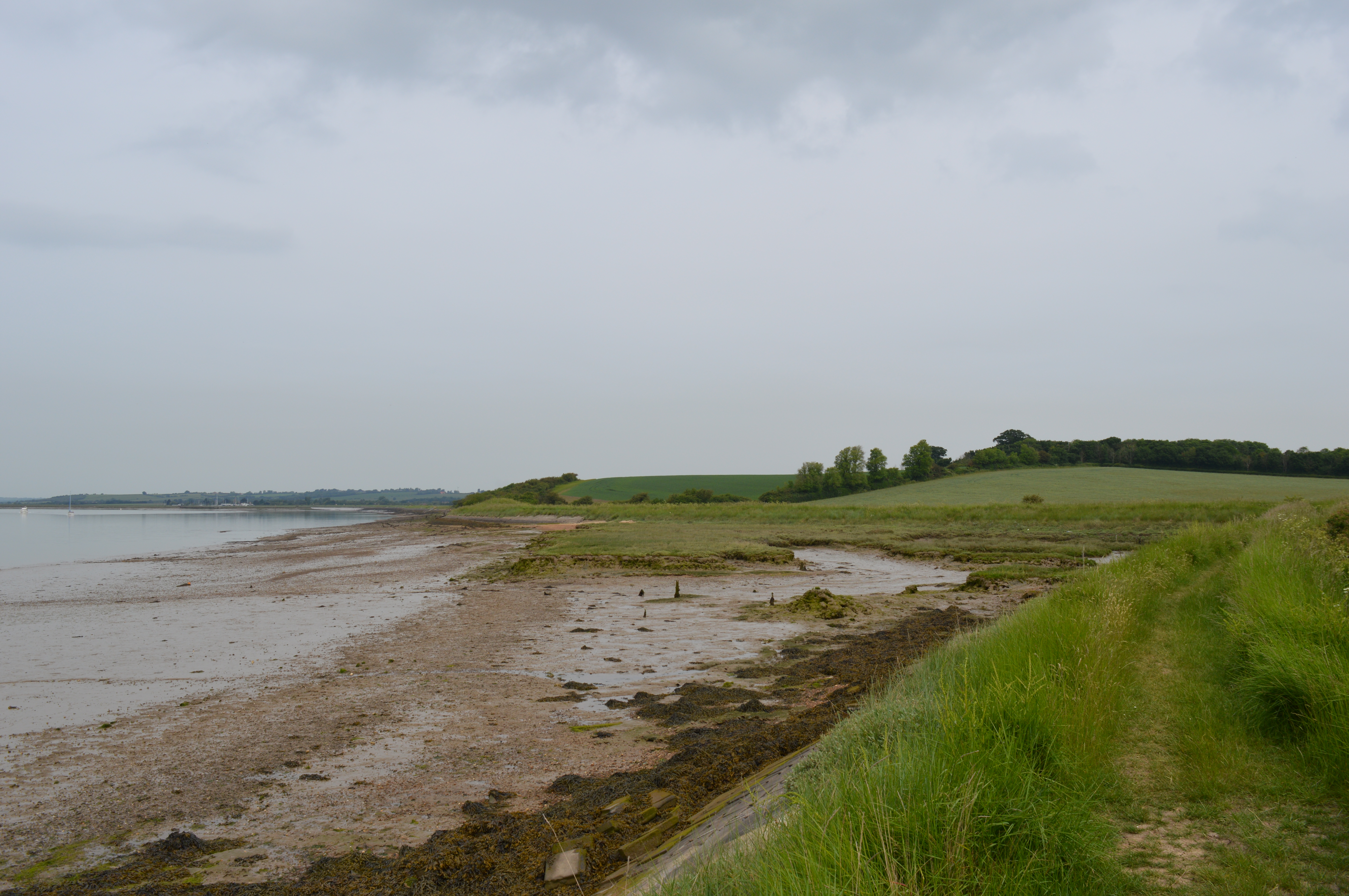
Althorne Creek is a prominent water body located in Essex, England. Situated on the eastern coast of the county, it flows into the North Sea, making it an estuary creek. The creek is about 12 miles long and stretches from the village of Althorne to its mouth at the North Sea.
This picturesque waterway is known for its stunning natural beauty and diverse ecosystem. Lined with lush vegetation and surrounded by marshlands, Althorne Creek provides a habitat for a wide variety of plant and animal species. The creek also serves as an important feeding ground for numerous bird species, making it a popular destination for birdwatching enthusiasts.
The tidal nature of the creek adds to its ecological significance. As the tides ebb and flow, the water level in the creek constantly changes, creating a dynamic environment that supports a rich and diverse array of marine life. The waters are also home to several species of fish and crustaceans, making it a popular spot for fishing and angling activities.
In addition to its natural attributes, Althorne Creek also has historical significance. The creek was once a vital transportation route for goods and people, with small boats and barges navigating its waters. Today, it continues to be used for recreational purposes, including boating, sailing, and canoeing.
Overall, Althorne Creek offers a unique blend of natural beauty, ecological importance, and historical charm, making it a cherished and cherished part of Essex's landscape.
If you have any feedback on the listing, please let us know in the comments section below.
Althorne Creek Images
Images are sourced within 2km of 51.642643/0.75404598 or Grid Reference TQ9097. Thanks to Geograph Open Source API. All images are credited.


Althorne Creek is located at Grid Ref: TQ9097 (Lat: 51.642643, Lng: 0.75404598)
Administrative County: Essex
District: Maldon
Police Authority: Essex
What 3 Words
///wider.loopholes.contact. Near Althorne, Essex
Nearby Locations
Related Wikis
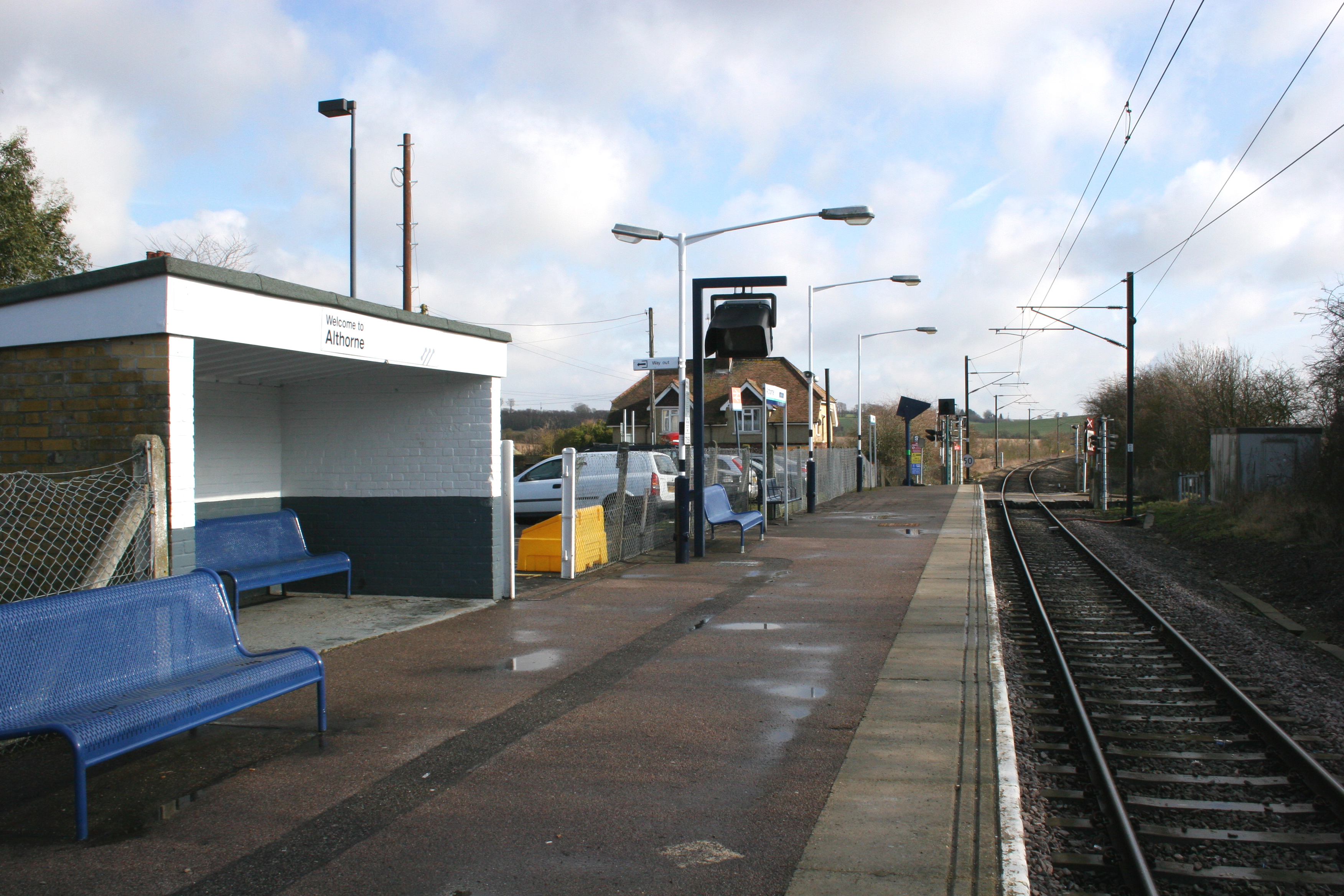
Althorne railway station
Althorne railway station is on the Crouch Valley Line in the East of England, serving the village of Althorne, Essex. It is 40 miles 27 chains (64.92 km...
Bridgemarsh Island
Bridgemarsh Island is in the tidal part of the River Crouch in the English county of Essex, three miles upstream from Burnham-on-Crouch. The main river...
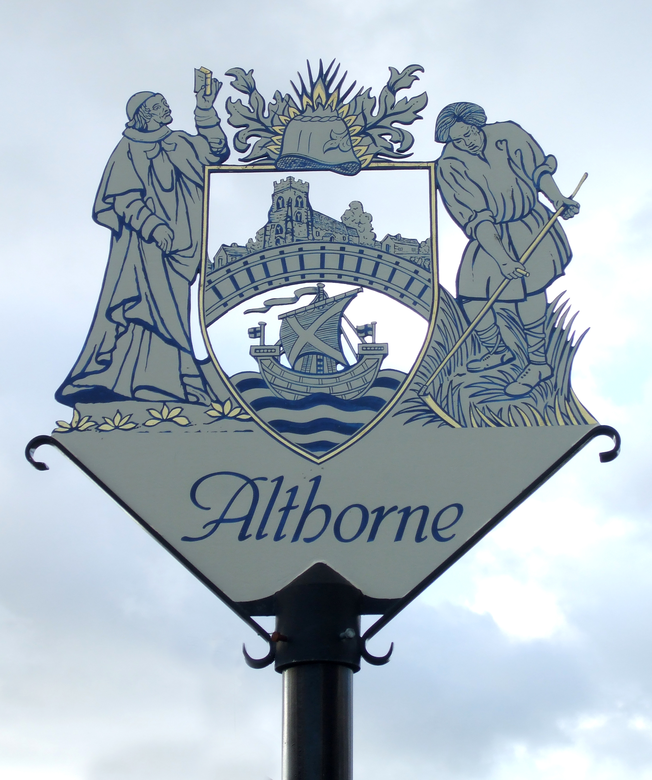
Althorne
Althorne is a village and civil parish in Essex, England. It is located 21 km (13 mi) east-southeast from the county town and city of Chelmsford. The village...
The Cliff, Burnham-on-Crouch
The Cliff, Burnham-on-Crouch is a 4 hectare geological Site of Special Scientific Interest (SSSI) on the bank of the River Crouch between Burnham-on-Crouch...
Nearby Amenities
Located within 500m of 51.642643,0.75404598Have you been to Althorne Creek?
Leave your review of Althorne Creek below (or comments, questions and feedback).