Fleethall Creek
Sea, Estuary, Creek in Essex Rochford
England
Fleethall Creek

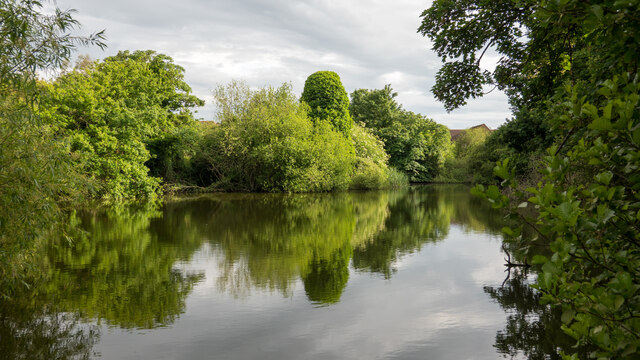
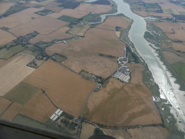
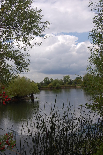
Fleethall Creek is a picturesque waterway located in the county of Essex, England. Spanning approximately 3 miles, it serves as a vital connection between the North Sea and the River Crouch estuary. The creek is situated within the Dengie Peninsula, known for its stunning natural beauty and rich biodiversity.
With its origins tracing back to ancient times, Fleethall Creek has played a significant role in the region's maritime history. The creek's strategic location has made it a crucial water route for trade and transportation, facilitating the movement of goods and people between the sea and inland areas.
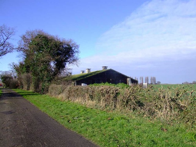
The surrounding landscape of Fleethall Creek is characterized by vast stretches of marshland, salt marshes, and mudflats, which provide an ideal habitat for a diverse range of plant and animal species. The area is a haven for birdwatchers, offering numerous opportunities to spot various wading birds, waterfowl, and migratory species.
The creek's tidal nature means that its water levels fluctuate throughout the day, creating a dynamic and ever-changing environment. During high tide, the creek fills up with water, allowing boats and vessels to navigate through its channel. However, during low tide, the creek exposes vast mudflats, providing a feeding ground for birds and revealing fascinating marine life.
Fleethall Creek offers visitors a chance to experience the tranquility of the countryside while being in close proximity to the sea. Its scenic beauty, combined with its ecological significance, makes it a popular destination for nature enthusiasts, boaters, and photographers alike.
If you have any feedback on the listing, please let us know in the comments section below.
Fleethall Creek Images
Images are sourced within 2km of 51.57527/0.72016419 or Grid Reference TQ8889. Thanks to Geograph Open Source API. All images are credited.


Fleethall Creek is located at Grid Ref: TQ8889 (Lat: 51.57527, Lng: 0.72016419)
Administrative County: Essex
District: Rochford
Police Authority: Essex
What 3 Words
///reader.habit.dream. Near Rochford, Essex
Nearby Locations
Related Wikis
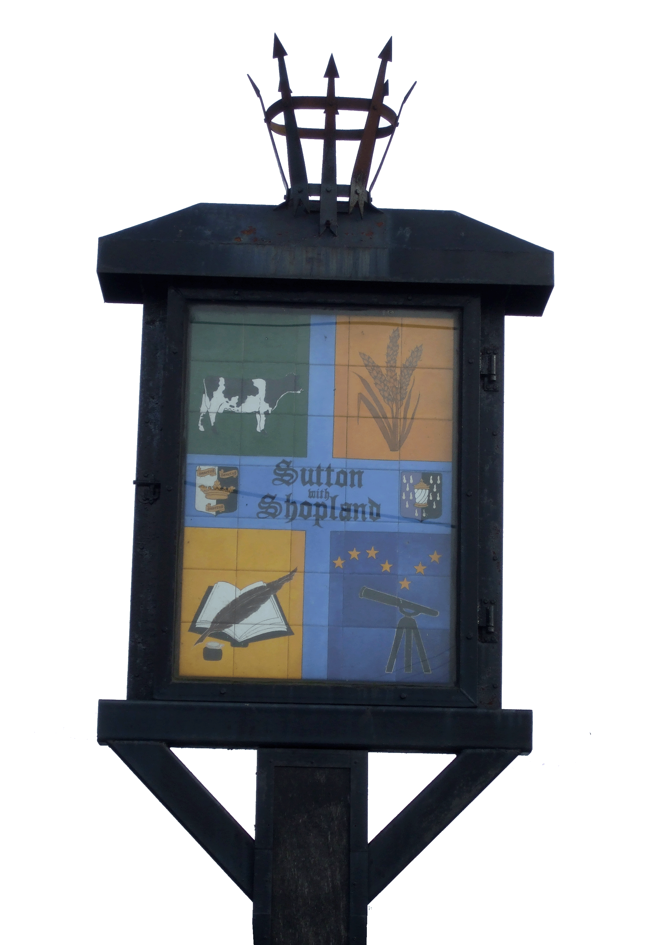
Sutton, Essex
Sutton is a village and civil parish in the District of Rochford in Essex, England. It is located between the River Roach and the adjoining Borough of...

Rochford (UK Parliament constituency)
Rochford was a County Constituency in Essex, represented in the House of Commons of the Parliament of the United Kingdom from 1983 until 1997. It elected...

Rochford District
Rochford is a local government district in Essex, England. It is named after one of its main settlements, Rochford, where the council is based. The largest...

Rochford
Rochford is a town and civil parish in the Rochford District in Essex, England, 3 miles (4.8 km) north of Southend-on-Sea, 43 miles (69 km) from London...
Nearby Amenities
Located within 500m of 51.57527,0.72016419Have you been to Fleethall Creek?
Leave your review of Fleethall Creek below (or comments, questions and feedback).