Eau Brink Cut
Sea, Estuary, Creek in Norfolk King's Lynn and West Norfolk
England
Eau Brink Cut

Eau Brink Cut is a waterway located in Norfolk, England. It is classified as both a sea and estuary creek, as it connects with the River Great Ouse and ultimately flows into The Wash, a large bay on the east coast of England. The waterway is an important part of the local landscape and plays a vital role in the ecological system of the region.
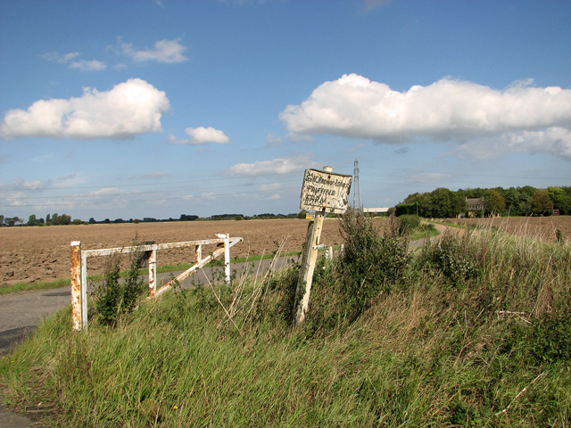
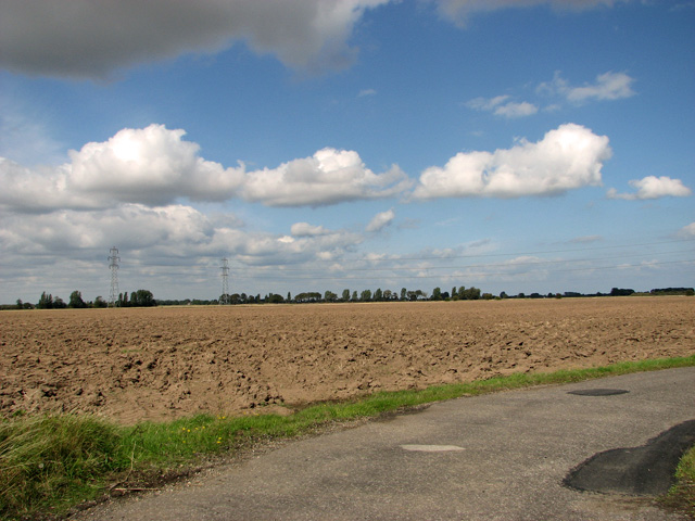
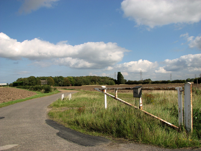
Eau Brink Cut is approximately 2.5 miles long and varies in width, ranging from around 100 feet to 500 feet. The waterway is predominantly surrounded by marshland, which provides a habitat for various species of flora and fauna, including reeds and grasses, as well as birds such as herons and ducks.
The cut was originally constructed in the 16th century as a drainage channel to control water levels in the surrounding area. It facilitated the transportation of goods, such as agricultural produce and coal, between the nearby towns and villages. Today, it continues to serve as a navigation route for leisure boats, providing opportunities for recreational activities such as boating, fishing, and birdwatching.
Eau Brink Cut is also of historical significance, as it played a role in the industrial development of the region. In the past, the waterway was used to power local mills, including a corn mill and a paper mill. The remains of these mills can still be seen along the cut, adding to the area's charm and heritage.
Overall, Eau Brink Cut is a picturesque and ecologically important waterway that offers both natural beauty and historical interest to visitors and locals alike.
If you have any feedback on the listing, please let us know in the comments section below.
Eau Brink Cut Images
Images are sourced within 2km of 52.729026/0.3703214 or Grid Reference TF6017. Thanks to Geograph Open Source API. All images are credited.


Eau Brink Cut is located at Grid Ref: TF6017 (Lat: 52.729026, Lng: 0.3703214)
Administrative County: Norfolk
District: King's Lynn and West Norfolk
Police Authority: Norfolk
What 3 Words
///detail.sling.mason. Near Clenchwarton, Norfolk
Nearby Locations
Related Wikis
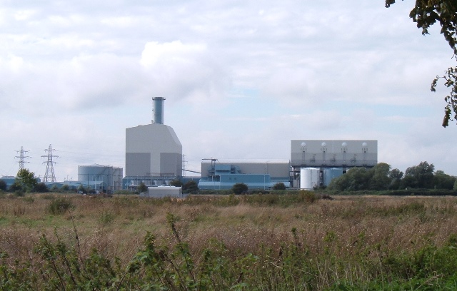
King's Lynn Power Station
King's Lynn Power Station refers to a combined cycle natural gas power station near King's Lynn in Norfolk, commissioned in 1997, and now owned by RWE...

King's Lynn Stadium
King's Lynn Stadium, also known as the Adrian Flux Arena and previously as the Norfolk Arena, is a short oval stadium situated to the south of King's Lynn...

West Lynn railway station
West Lynn railway station served the area of West Lynn, Norfolk, England, from 1866 to 1886 on the Lynn and Sutton Bridge Railway. == History == The station...
South Lynn railway station
South Lynn railway station was a railway station serving the areas of South Lynn and West Lynn in King's Lynn in Norfolk, England. The station was on the...
Nearby Amenities
Located within 500m of 52.729026,0.3703214Have you been to Eau Brink Cut?
Leave your review of Eau Brink Cut below (or comments, questions and feedback).