Barking Creek Mouth
Sea, Estuary, Creek in Essex
England
Barking Creek Mouth
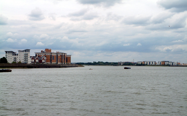
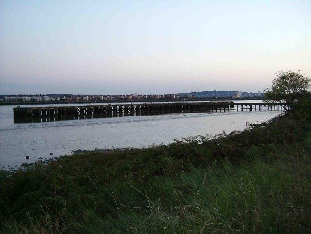
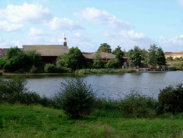
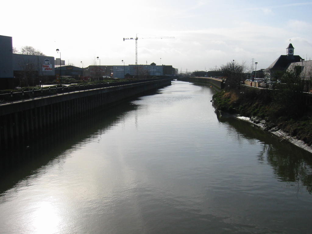
Barking Creek Mouth is a geographical feature located in Essex, England. It is formed by the confluence of the River Roding and River Thames, where they meet the North Sea. The mouth of the creek is situated in the eastern part of the London Borough of Barking and Dagenham, specifically in the area known as Creekmouth.
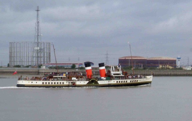
The creek mouth serves as an estuary, providing an important passage for marine traffic entering and exiting the River Thames. Its strategic location near the capital city of London has made it a significant port and trading hub throughout history.
Barking Creek Mouth is characterized by its tidal nature, with water levels rising and falling twice a day due to the ebb and flow of the tides. It experiences a diverse range of marine life, making it a popular spot for fishing enthusiasts and nature lovers. The area surrounding the creek mouth is also home to a variety of bird species, including gulls, waders, and waterfowl.
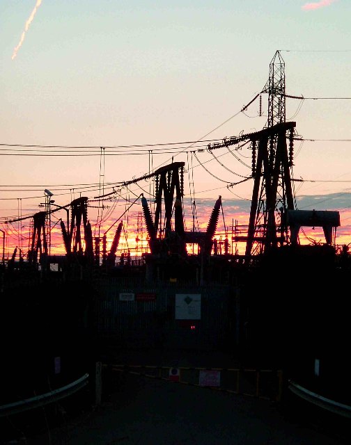
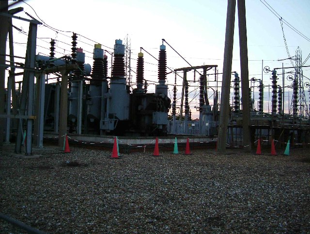
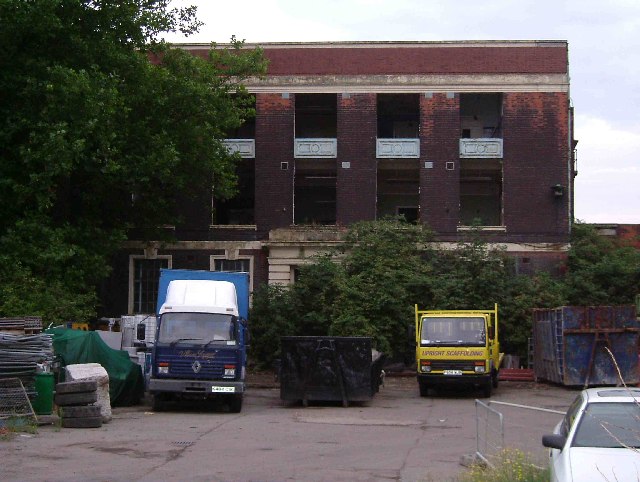
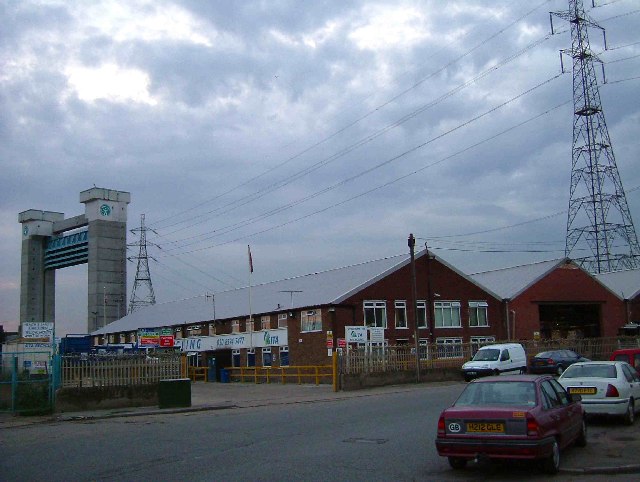
The presence of the creek mouth has played a crucial role in the industrial development of the region. In the past, it was a major centre for shipbuilding, and its dockyards were vital for the transportation of goods and materials. Today, the area is still utilized for commercial purposes, with several industrial facilities and warehouses located nearby.
Overall, Barking Creek Mouth is an important geographical feature in Essex, serving as a crucial estuary for marine traffic and supporting a diverse ecosystem. It has played a significant role in the history and economic development of the region.
If you have any feedback on the listing, please let us know in the comments section below.
Barking Creek Mouth Images
Images are sourced within 2km of 51.514881/0.097984098 or Grid Reference TQ4581. Thanks to Geograph Open Source API. All images are credited.


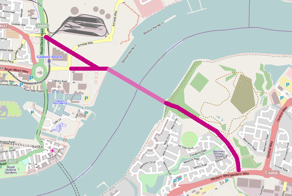
Barking Creek Mouth is located at Grid Ref: TQ4581 (Lat: 51.514881, Lng: 0.097984098)
Unitary Authority: Newham
Police Authority: Metropolitan
What 3 Words
///sing.trader.tone. Near Barking, London
Nearby Locations
Related Wikis
River Roding
The River Roding () rises at Molehill Green, Essex, England, then flows south through Essex and London and forms Barking Creek as it reaches the River...
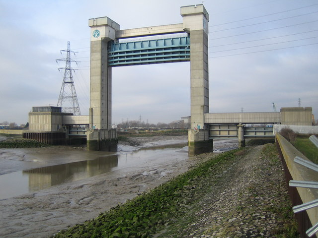
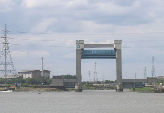
Barking Creek
Barking Creek joins the River Roding to the River Thames. It is fully tidal up to the Barking Barrage (a weir), which impounds a minimum water level through...

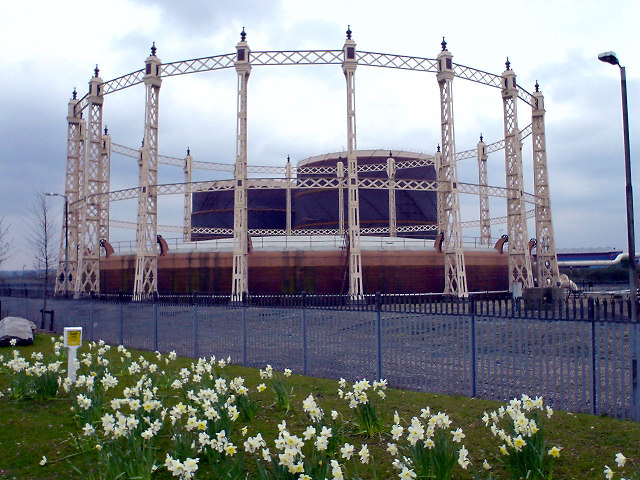
Creekmouth
Creekmouth is an area of Barking in east London, England. It is best known for its large industrial estate. The industrial area around River Road and Thames...

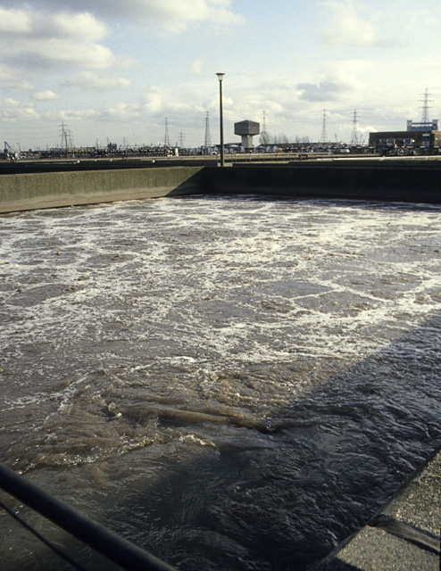
Thames Gateway Water Treatment Works
The Thames Gateway Water Treatment Works or Beckton Desalination Plant is a desalination plant in Beckton, London, adjacent to Beckton Sewage Treatment...

Sinking of SS Princess Alice
SS Princess Alice, formerly PS Bute, was a British passenger paddle steamer that sank on 3 September 1878 after a collision with the collier SS Bywell...
Barking fire
The Barking fire was a structure fire that occurred on 9 June 2019 at a newly built six storey block of flats named Samuel Garside House, located in De...
Gallions Reach Crossing
The Gallions Reach Crossing was a proposed River Thames crossing close to Gallions Reach in East London, running between Beckton in the London Borough...
Beckton Sewage Treatment Works
Beckton Sewage Treatment Works, formerly known as Barking Sewage Works, is a large sewage treatment plant in Beckton in the east London Borough of Newham...
Nearby Amenities
Located within 500m of 51.514881,0.097984098Have you been to Barking Creek Mouth?
Leave your review of Barking Creek Mouth below (or comments, questions and feedback).