Syon Reach
Sea, Estuary, Creek in Surrey
England
Syon Reach

Syon Reach is a picturesque area located in Surrey, England, known for its stunning sea, estuary, and creek. Situated on the outskirts of London, it offers a peaceful retreat from the bustling city life.
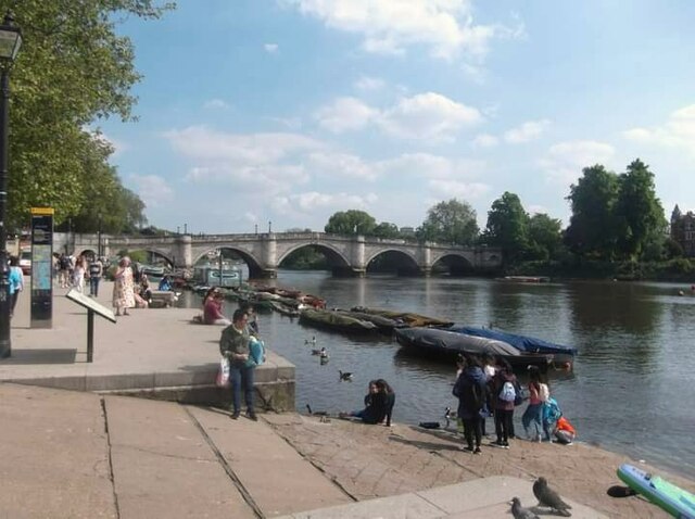
Syon Reach is bordered by the River Thames, which lends itself to the creation of a breathtaking estuary. The estuary is a place where the river meets the sea, resulting in a unique blend of freshwater and saltwater environments. This convergence creates a diverse ecosystem, attracting a wide array of bird species and marine life, making it a hotspot for nature enthusiasts and birdwatchers.
The creek in Syon Reach is a smaller waterway that branches off from the estuary. It winds its way through the marshes and woodlands, providing a tranquil setting for leisurely walks and boating trips. The creek is also a haven for wildlife, with an abundance of fish, otters, and waterfowl species.
Syon Reach is not only known for its natural beauty but also for its historical significance. The area has a rich heritage dating back to Roman times, with archaeological sites and remnants of settlements found in the vicinity. The nearby Syon House, a grand stately home, adds to the charm and cultural importance of the area.
Overall, Syon Reach in Surrey offers a perfect blend of natural wonders and historical significance. Its sea, estuary, and creek provide a diverse range of outdoor activities, making it an ideal destination for those seeking a peaceful escape or a chance to explore the wonders of nature.
If you have any feedback on the listing, please let us know in the comments section below.
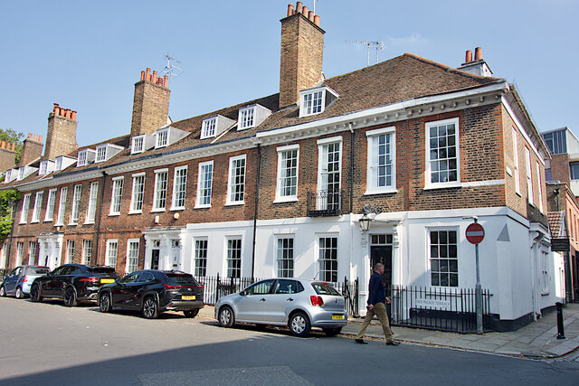
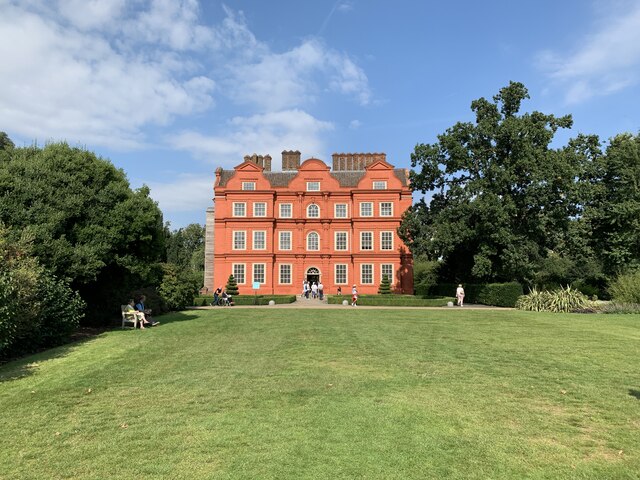
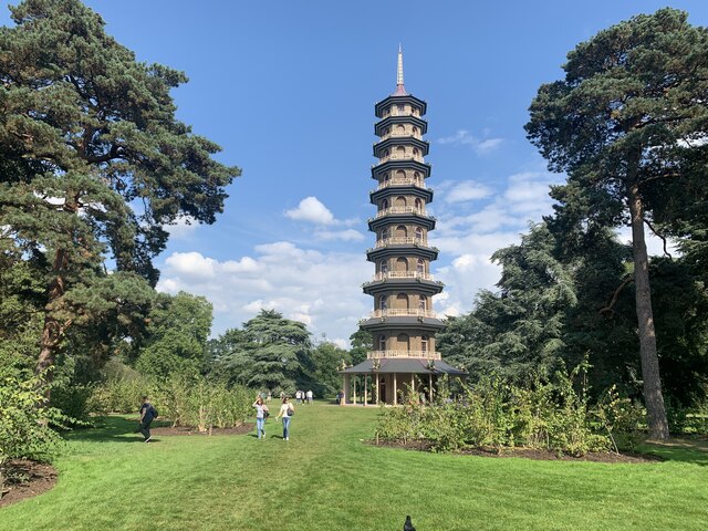
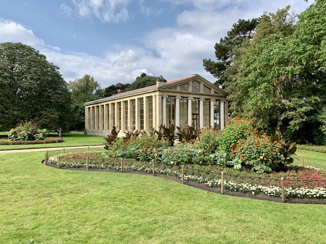
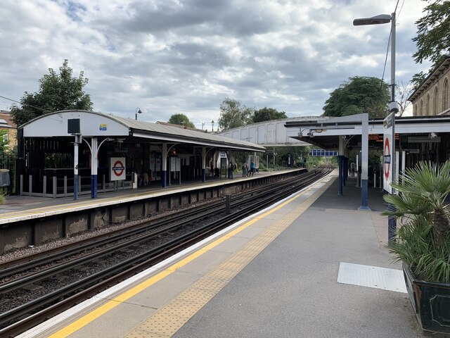
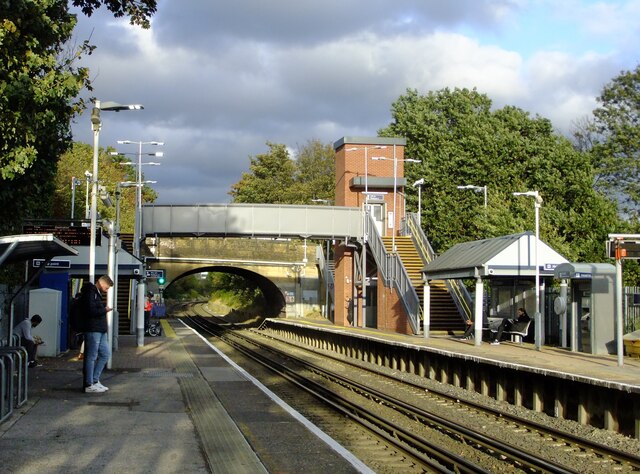
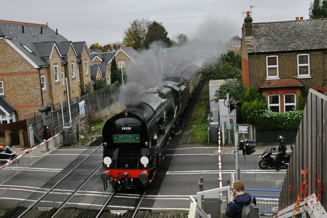
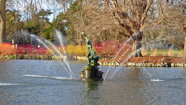
Syon Reach Images
Images are sourced within 2km of 51.475143/-0.3076759 or Grid Reference TQ1776. Thanks to Geograph Open Source API. All images are credited.

Syon Reach is located at Grid Ref: TQ1776 (Lat: 51.475143, Lng: -0.3076759)
Unitary Authority: Richmond upon Thames
Police Authority: Metropolitan
What 3 Words
///bids.newly.tube. Near Brentford, London
Nearby Locations
Related Wikis

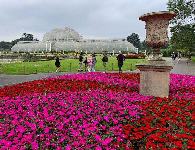
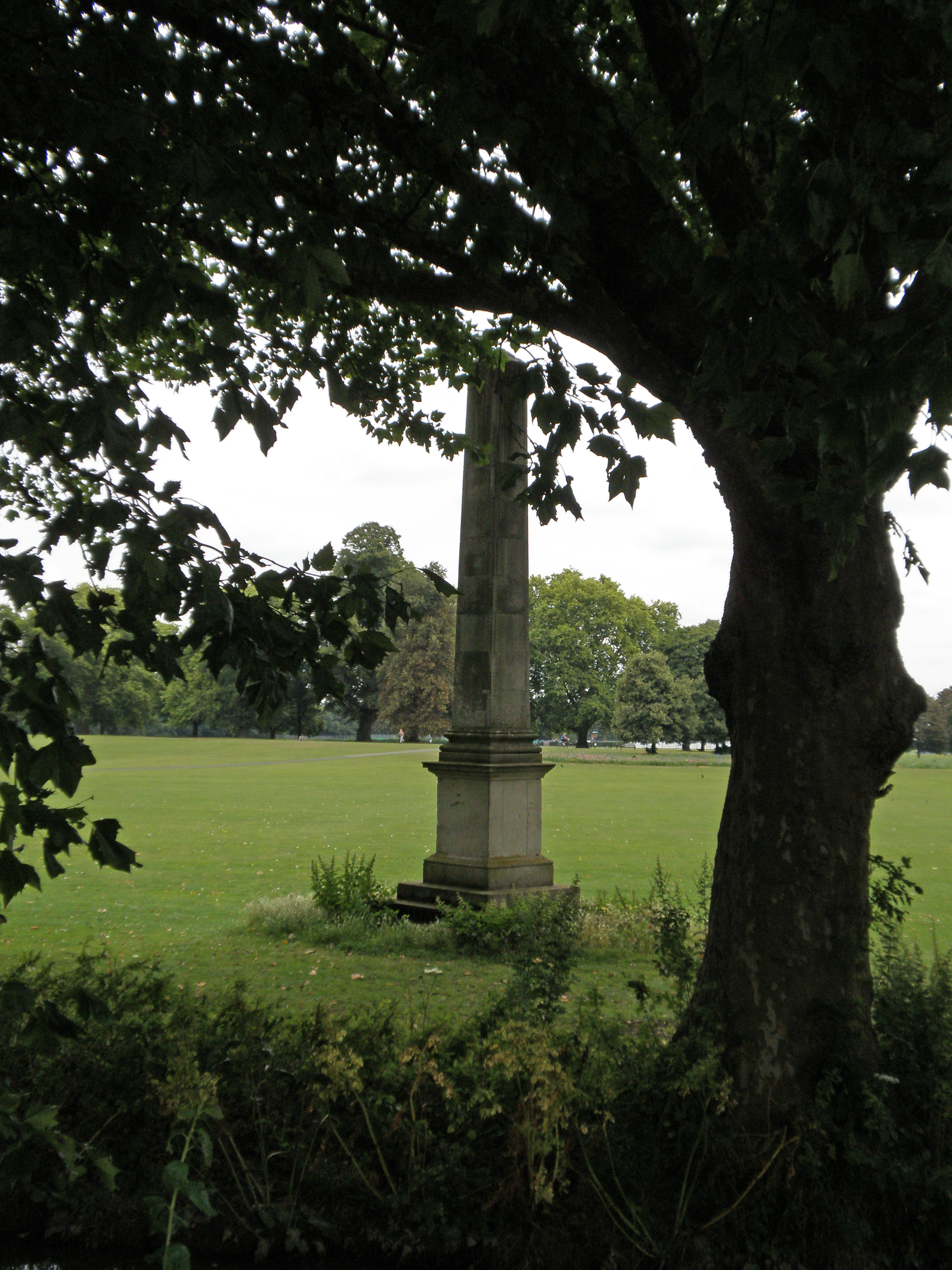
Syon Park
Syon Park is the garden of Syon House, the London home of the Duke of Northumberland in Isleworth in the London Borough of Hounslow. It was landscaped...
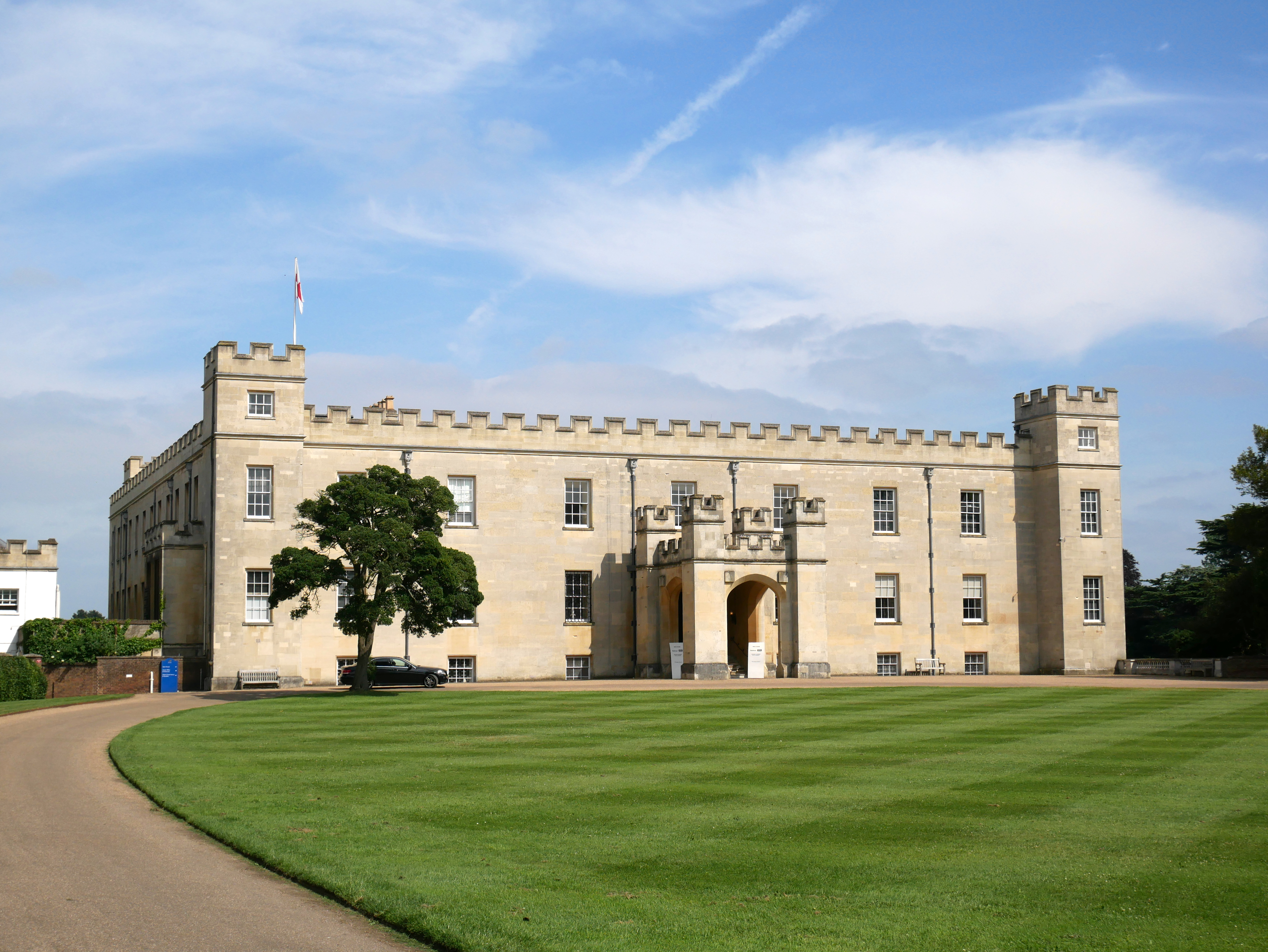
Syon House
Syon House is the west London residence of the Duke of Northumberland. A Grade I listed building, it lies within the 200-acre (80 hectare) Syon Park...

Syon Abbey
Syon Abbey , also called simply Syon, was a dual monastery of men and women of the Bridgettine Order, although it only ever had abbesses during its existence...

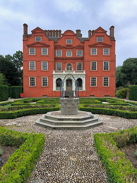
Queen Charlotte's Cottage
Queen Charlotte's Cottage is an 18th-century cottage orné within the grounds of Kew Gardens on the banks of the River Thames in London. It is named after...
Battle of Brentford (1642)
The Battle of Brentford was a small pitched battle which took place on 12 November 1642, between a detachment of the Royalist army (predominantly horse...

Cnut the Great's invasion of England
In the autumn of 1016, the Danish prince Cnut the Great (Canute) successfully invaded England. Cnut's father, Sweyn Forkbeard, had previously conquered...

Battle of Brentford (1016)
The Battle of Brentford was fought in 1016 between invading forces of the Kingdom of Denmark under Cnut and the defending forces of the Kingdom of England...
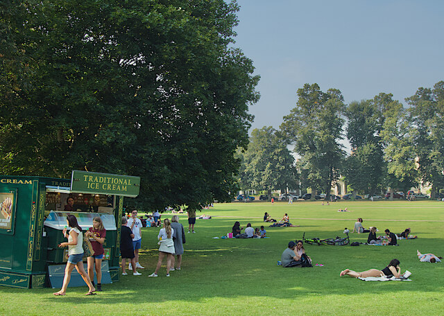
Old Deer Park
Old Deer Park is an area of open space within Richmond, owned by the Crown Estate, in the London Borough of Richmond upon Thames, England. It covers 147...
Nearby Amenities
Located within 500m of 51.475143,-0.3076759Have you been to Syon Reach?
Leave your review of Syon Reach below (or comments, questions and feedback).