Whitgift Roads

Sea, Estuary, Creek in Yorkshire

England

Whitgift Roads

View from the Ousefleet Hide, Blacktoft Sands
View from the Ousefleet Hide, Blacktoft Sands Credit: Mike Pennington

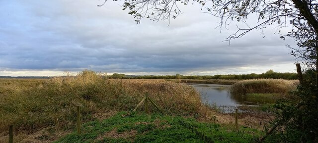
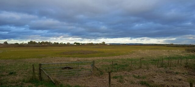
Whitgift Roads is a stretch of waterways located in Yorkshire, England. It encompasses the convergence of the sea, estuary, and creek, making it a unique and diverse natural feature. This area is known for its stunning beauty and rich biodiversity, attracting both locals and tourists alike.

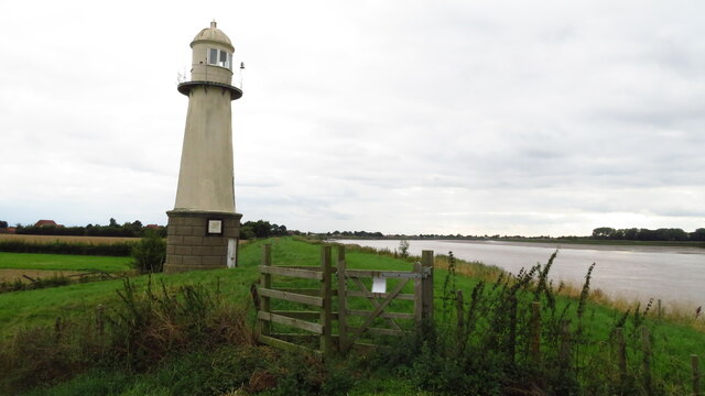
The sea that meets Whitgift Roads is a segment of the North Sea, which borders the eastern coast of England. It brings with it the characteristic salty water and powerful waves, creating a dynamic environment. The estuary, formed by the River Ouse, flows into the sea at this point, resulting in a mix of fresh and saltwater. This mixing of waters creates a brackish habitat that supports a wide range of marine life.

Furthermore, the creek that runs through Whitgift Roads adds to its charm. It is a narrow, winding watercourse that meanders through the surrounding countryside, providing a peaceful and picturesque setting. The creek is often flanked by lush vegetation, including reeds, grasses, and various species of trees, offering habitat for a diverse array of flora and fauna.

Whitgift Roads is not only a natural wonder but also a crucial ecosystem. It serves as a breeding ground for several bird species, including terns and gulls, which can be observed nesting along the shoreline. Additionally, the waters are home to various fish species, such as salmon and sea trout, attracting recreational anglers and making it a popular destination for fishing enthusiasts.

Overall, Whitgift Roads is a captivating blend of sea, estuary, and creek that showcases the beauty and diversity of Yorkshire's natural landscape. It provides an ideal habitat for a range of marine and bird species, making it a valuable and cherished resource for both wildlife and humans.

If you have any feedback on the listing, please let us know in the comments section below.

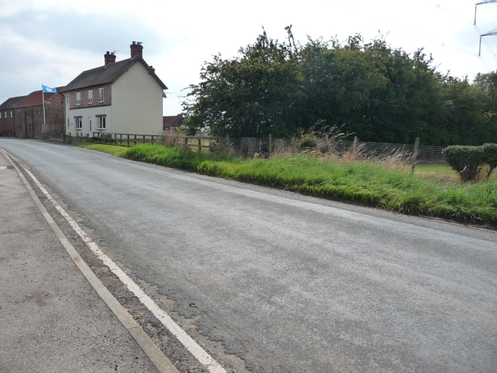
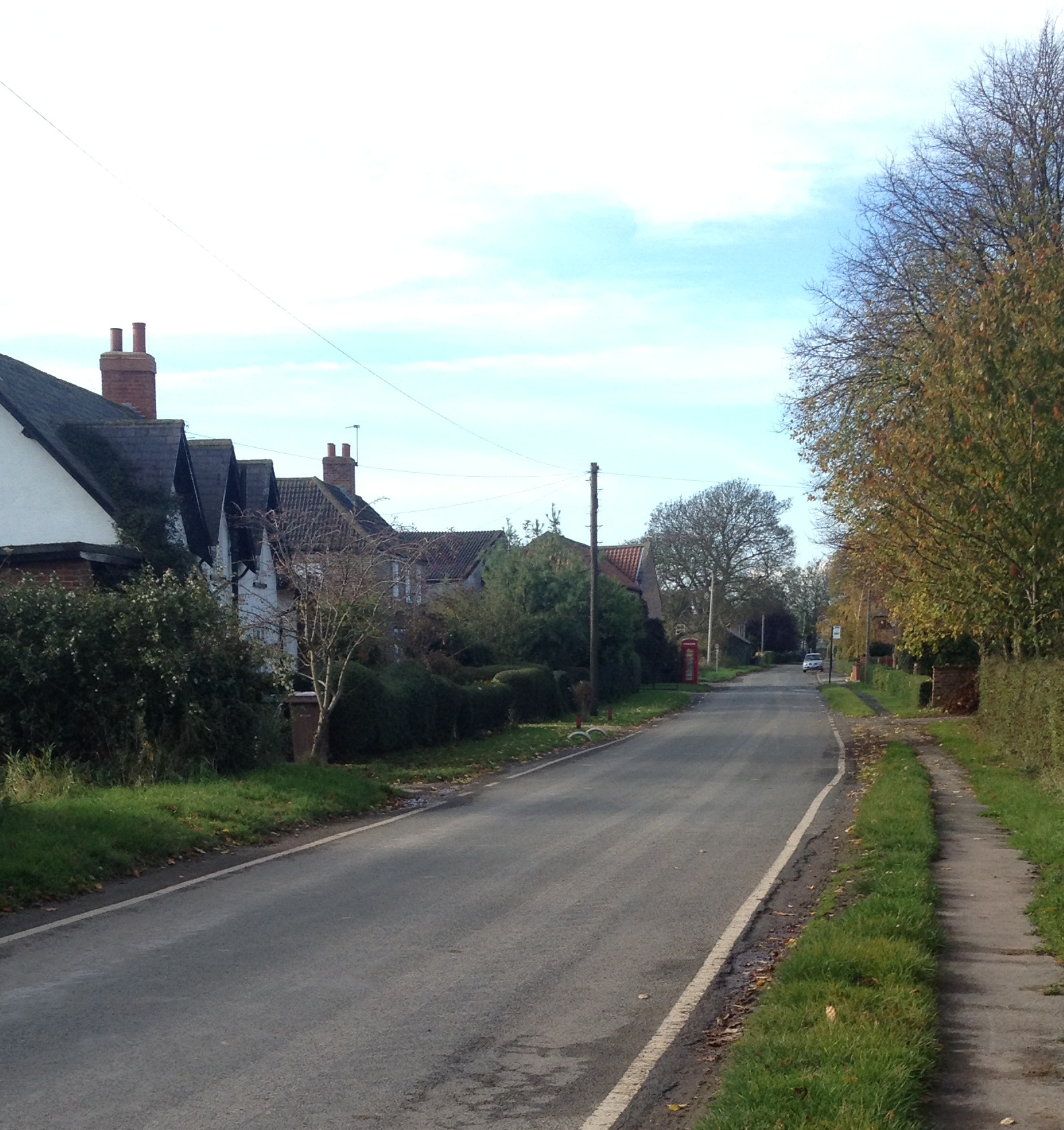
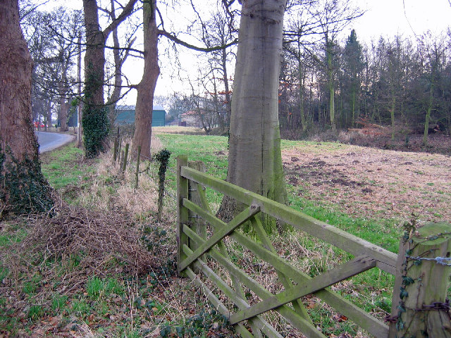
Whitgift Roads Images

Images are sourced within 2km of 53.700439/-0.7597563 or Grid Reference SE8123. Thanks to Geograph Open Source API. All images are credited.

View from the Ousefleet Hide, Blacktoft Sands
Whitgift - St Mary Magdalene Church
Whitgift Lighthouse & the River Ouse
Blacktoft Warping Drain Looking along a field drain as it flows into the Ouse.
Blacktoft Warping Drain
Looking along a field drain as it flows into the Ouse.
Crossing Blacktoft Warping Drain Looking along Blacktoft Lane from the bridge over the drain. The lane also forms part of NCN65.
Crossing Blacktoft Warping Drain
Looking along Blacktoft Lane from the bridge over the drain. The lane also forms part of NCN65.
Blacktoft Lane from the bridge over Blacktoft Warping Drain Looking along Blacktoft Lane from the bridge over the drain. The lane also forms part of NCN65.
Blacktoft Lane from the bridge over Blacktoft Warping Drain
Looking along Blacktoft Lane from the bridge over the drain. The lane also forms part of NCN65.
Drain north of Blacktoft Lane Looking along a field drain which enters the Ouse a short distance to the south.
Drain north of Blacktoft Lane
Looking along a field drain which enters the Ouse a short distance to the south.
Passing Hall Farm Looking along Blacktoft Lane which also forms part of NCN65.
Passing Hall Farm
Looking along Blacktoft Lane which also forms part of NCN65.
Road towards Blacktoft Looking along Blacktoft Lane which also forms part of NCN65.
Road towards Blacktoft
Looking along Blacktoft Lane which also forms part of NCN65.
Hall Farm Looking along Blacktoft Lane which also forms part of NCN65 as it passes Hall Farm.
Hall Farm
Looking along Blacktoft Lane which also forms part of NCN65 as it passes Hall Farm.
Phonebox in Yokefleet Looking through the village of Yokefleet along the road which also forms part of NCN65.
Phonebox in Yokefleet
Looking through the village of Yokefleet along the road which also forms part of NCN65.
Road heading north in Yokefleet Looking through the village of Yokefleet along the road which also forms part of NCN65.
Road heading north in Yokefleet
Looking through the village of Yokefleet along the road which also forms part of NCN65.
Road to Yokefleet Looking through the village of Yokefleet from the western end. The road which also forms part of NCN65.
Road to Yokefleet
Looking through the village of Yokefleet from the western end. The road which also forms part of NCN65.
Road north from Yokefleet Looking along the road heading north towards the B1230.
Road north from Yokefleet
Looking along the road heading north towards the B1230.
Drain beside the road Looking along the road towards Yokefleet near the junction with Metham Lane.
Drain beside the road
Looking along the road towards Yokefleet near the junction with Metham Lane.
Greenook Goit Looking along Greenook Goit from Metham Lane.
Greenook Goit
Looking along Greenook Goit from Metham Lane.
Bridge over Greenook Goit Looking across Metham Lane as it passes over a drain.
Bridge over Greenook Goit
Looking across Metham Lane as it passes over a drain.
Show me another place!

Whitgift Roads is located at Grid Ref: SE8123 (Lat: 53.700439, Lng: -0.7597563)

Division: West Riding

Unitary Authority: East Riding of Yorkshire

Police Authority: Humberside

What 3 Words

///character.motivator.extremes. Near Laxton, East Yorkshire

Related Wikis

Whitgift, East Riding of Yorkshire

Whitgift is a small linear village and former civil parish, now in the parish of Twin Rivers, in the East Riding of Yorkshire, England approximately 4...

Ousefleet

Ousefleet is a small hamlet and former civil parish, now in the parish of Twin Rivers, in the East Riding of Yorkshire, England approximately 5 miles...

Yokefleet

Yokefleet (also known as Yorkfleet) is a hamlet and former civil parish, now in the parish of Blacktoft, in the East Riding of Yorkshire, England. A very...

Little Reedness

Little Reedness is a hamlet in the East Riding of Yorkshire, England. It is situated approximately 3.5 miles (6 km) east of the town of Goole and lies...

Metham

Metham is a hamlet in the East Riding of Yorkshire, England. It is situated approximately 3 miles (5 km) south east of Howden and 19 miles (31 km) south...

Cotness

Cotness is a small hamlet in the East Riding of Yorkshire, England, it forms part of the civil parish of Laxton. It is situated just to the north of the...

Blacktoft Sands RSPB reserve

Blacktoft Sands RSPB reserve is a nature reserve in the East Riding of Yorkshire, England. It is managed by the Royal Society for the Protection of Birds...

Blacktoft

Blacktoft is a village and civil parish in the East Riding of Yorkshire, England. The village is situated on the north bank of the River Ouse, 1 mile...

Nearby Amenities

Located within 500m of 53.700439,-0.7597563
Post Box
Post Box Type: lamp
Lat/Long: 53.6969414/-0.7580378
Bus Stop
Whitgift Main Road
Naptan AtcoCode: 2200YEA01177
Naptan Bearing: E
Naptan CommonName: Whitgift Main Road
Naptan Landmark: Whitgift Methodist Church
Naptan Street: Main Road
Shelter: yes
Source: naptan + survey
Lat/Long: 53.6969818/-0.7577094
Bus Stop
Whitgift Main Road
Naptan AtcoCode: 2200YEA01178
Naptan Bearing: W
Naptan CommonName: Whitgift Main Road
Naptan Landmark: Whitgift Methodist Church
Naptan Street: Main Road
Shelter: no
Source: naptan + survey
Lat/Long: 53.6969186/-0.7576809
Telephone
Booth: KX100
Covered: booth
Lat/Long: 53.6969509/-0.7579734
Ele: 7.0000000
Lat/Long: 53.6990054/-0.7574196
Barrier: stile
Ele: 7.0000000
Steps: 1
Stile: stepover
Lat/Long: 53.6990149/-0.7573847
Ele: 7.0000000
Lat/Long: 53.6995216/-0.7559477
Bench
Ele: 6.0000000
Lat/Long: 53.69733/-0.7622475
Barrier: stile
Ele: 6.0000000
Steps: 0
Stile: stepover
Lat/Long: 53.6973015/-0.7621349
Ele: 7.0000000
Lat/Long: 53.6976647/-0.7609978
Barrier: stile
Ele: 6.0000000
Steps: 1
Stile: stepover
Lat/Long: 53.6977821/-0.7606172
Bench
Lat/Long: 53.6968192/-0.7589257
Seamark Light Character: VQ
Seamark Light Colour: red
Seamark Type: light_minor
Lat/Long: 53.69682/-0.76405
Seamark Light Character: Fl
Seamark Light Colour: red
Seamark Light Group: 2
Seamark Light Height: 12
Seamark Light Period: 4
Seamark Light Range: 5
Seamark Type: light_minor
Lat/Long: 53.69884/-0.75751
Seamark Light Character: Fl
Seamark Light Colour: green
Seamark Light Height: 5
Seamark Light Period: 2.5
Seamark Light Range: 2
Seamark Type: light_minor
Lat/Long: 53.70301/-0.75523
Whitgift Roads
Place: locality
Source: Bing
Lat/Long: 53.6981037/-0.7634299
Man Made: windmill
Lat/Long: 53.7038153/-0.7582718
Whitgift Chapel
Lat/Long: 53.6970575/-0.7575364
The data included in this document is from www.openstreetmap.org. The data is made available under ODbL.

Have you been to Whitgift Roads?

Leave your review of Whitgift Roads below (or comments, questions and feedback).