Emsworth Harbour
Sea, Estuary, Creek in Hampshire Havant
England
Emsworth Harbour
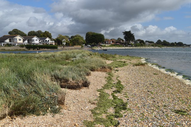
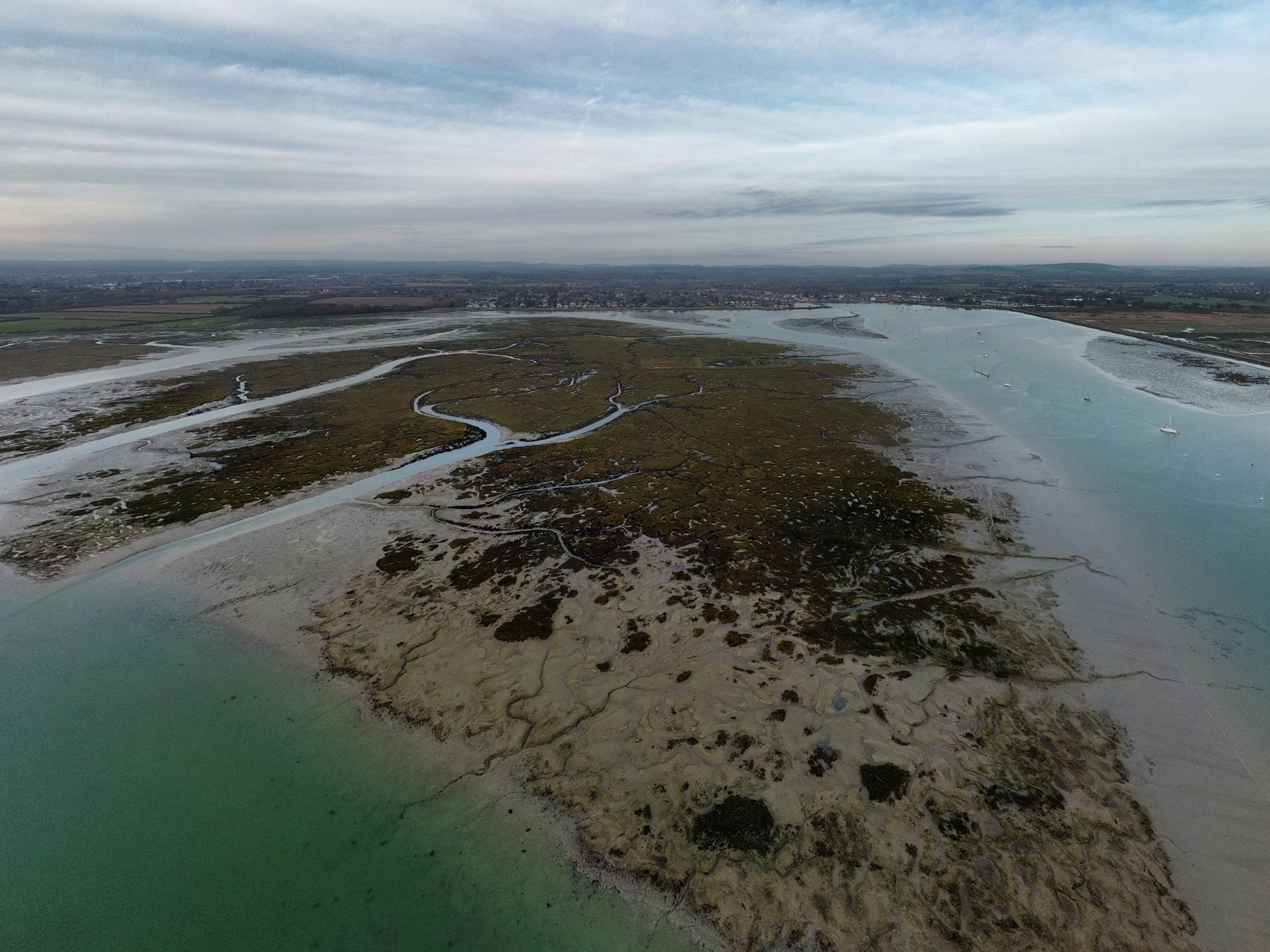
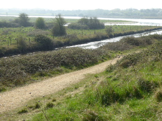
Emsworth Harbour is a picturesque estuary located in Hampshire, England. Nestled between the towns of Emsworth and Hayling Island, this natural harbor is formed by the confluence of three water bodies: the River Ems, the Chichester Harbour, and the Thorney Channel.
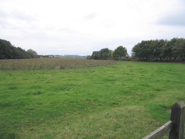
With its diverse ecosystem, Emsworth Harbour is a haven for birdwatchers and nature enthusiasts. The salt marshes and mudflats provide habitats for a wide range of bird species, including wading birds, waterfowl, and even the rare avocet. The area is also home to several nature reserves, such as the Emsworth Wildlife Conservation Area and the Thorney Island Bird Reserve, which further protect and preserve the local wildlife.
The harbor itself is a hub for recreational activities such as boating, sailing, and fishing. Its sheltered waters make it a popular spot for beginners and experienced sailors alike. It also serves as a starting point for those looking to explore the broader Chichester Harbour Area of Outstanding Natural Beauty, which offers breathtaking views and a wealth of marine and coastal wildlife.
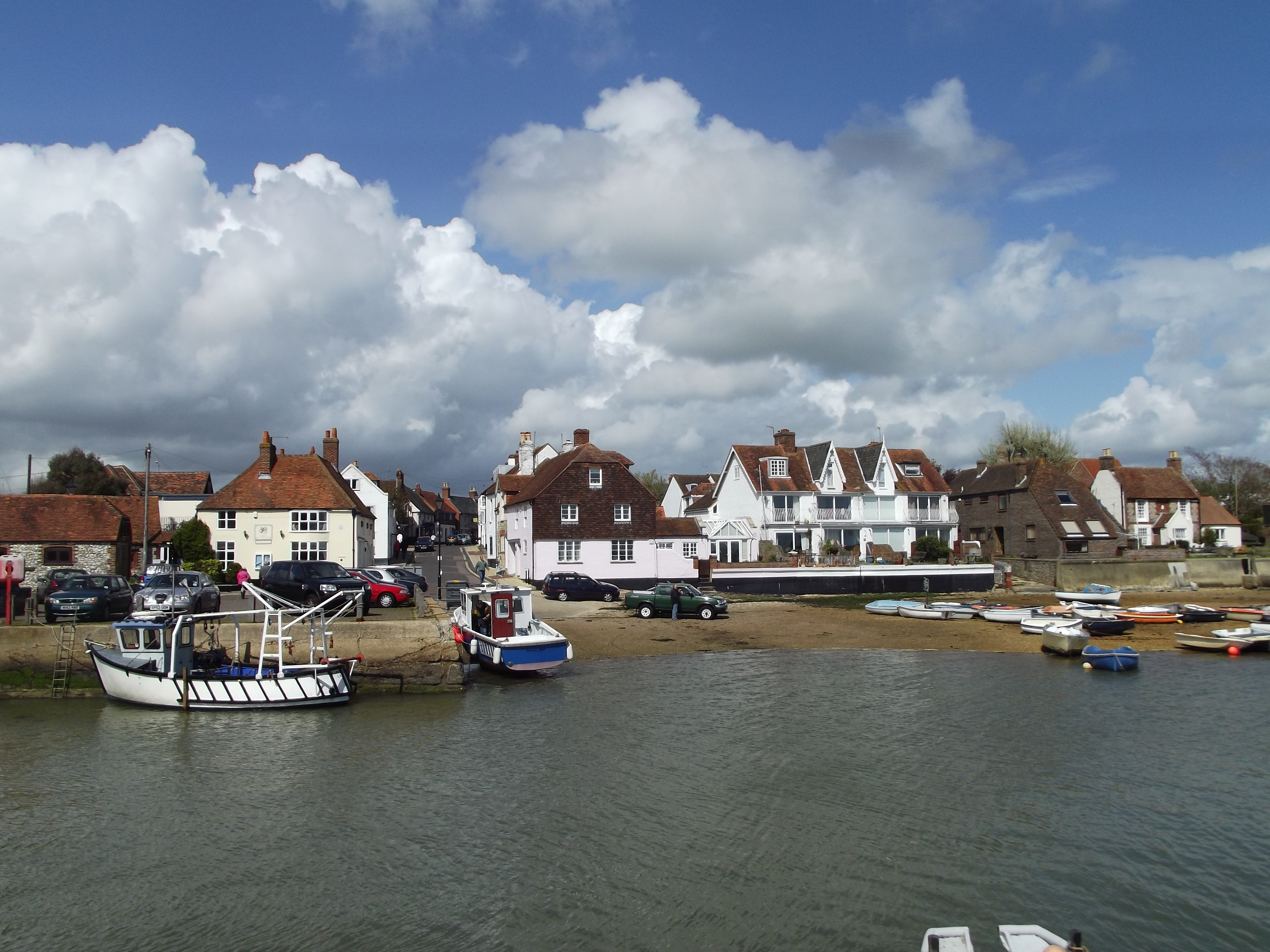
Visitors can enjoy the charming waterfront village of Emsworth, known for its quaint shops, traditional pubs, and seafood restaurants. The town's maritime heritage is evident in its historic shipbuilding yards and boatyards, which contribute to the local economy and cultural identity.
Emsworth Harbour is not only a beautiful natural feature but also a significant economic and ecological asset to the Hampshire region. Its diverse ecosystem, recreational opportunities, and cultural heritage make it a must-visit destination for locals and tourists alike.
If you have any feedback on the listing, please let us know in the comments section below.
Emsworth Harbour Images
Images are sourced within 2km of 50.839833/-0.94451994 or Grid Reference SU7405. Thanks to Geograph Open Source API. All images are credited.


Emsworth Harbour is located at Grid Ref: SU7405 (Lat: 50.839833, Lng: -0.94451994)
Administrative County: Hampshire
District: Havant
Police Authority: Hampshire
What 3 Words
///stones.income.each. Near Emsworth, Hampshire
Nearby Locations
Related Wikis
Fowley Island
Fowley Island is a small uninhabited island in Chichester Harbour, around 900 metres south of the coast at Emsworth between Hayling Island and Thorney...
Emsworth
Emsworth is a town in the Borough of Havant in the county of Hampshire, on the south coast of England near the border with West Sussex. It lies at the...
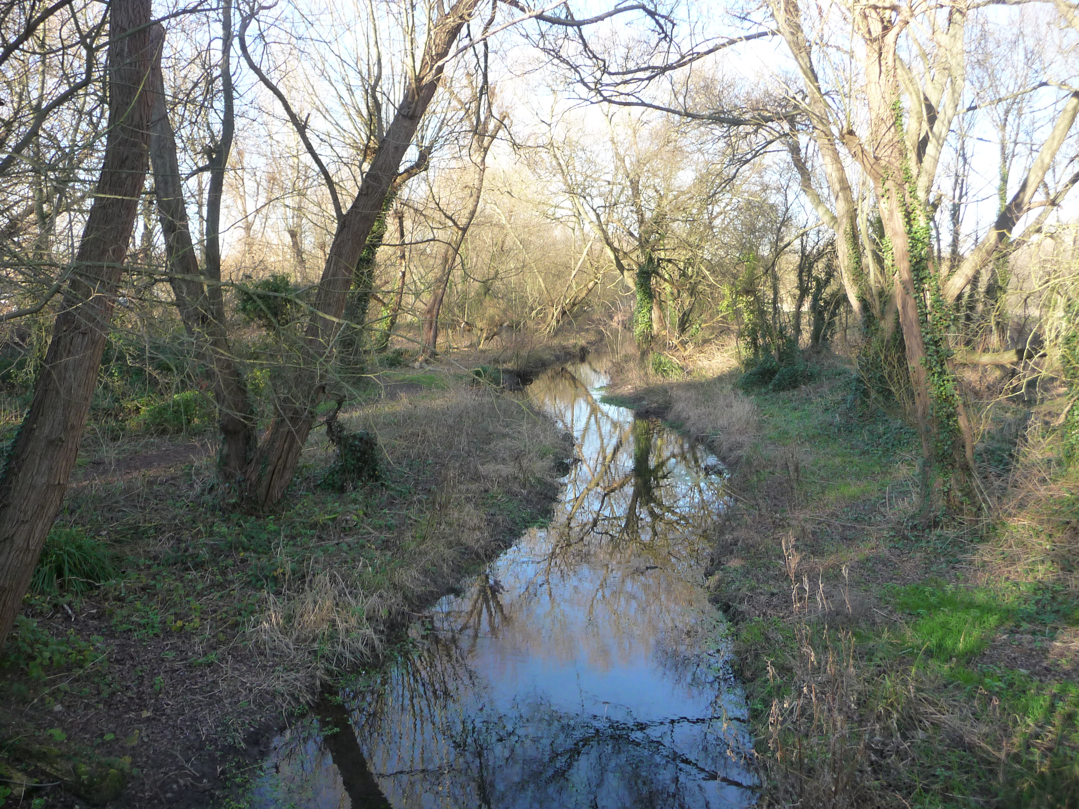
Brook Meadow (Emsworth)
Brook Meadow (Emsworth) is a 3.9-hectare (9.6-acre) Local Nature Reserve in Emsworth in Hampshire. It is owned by Havant Borough Council and managed by...
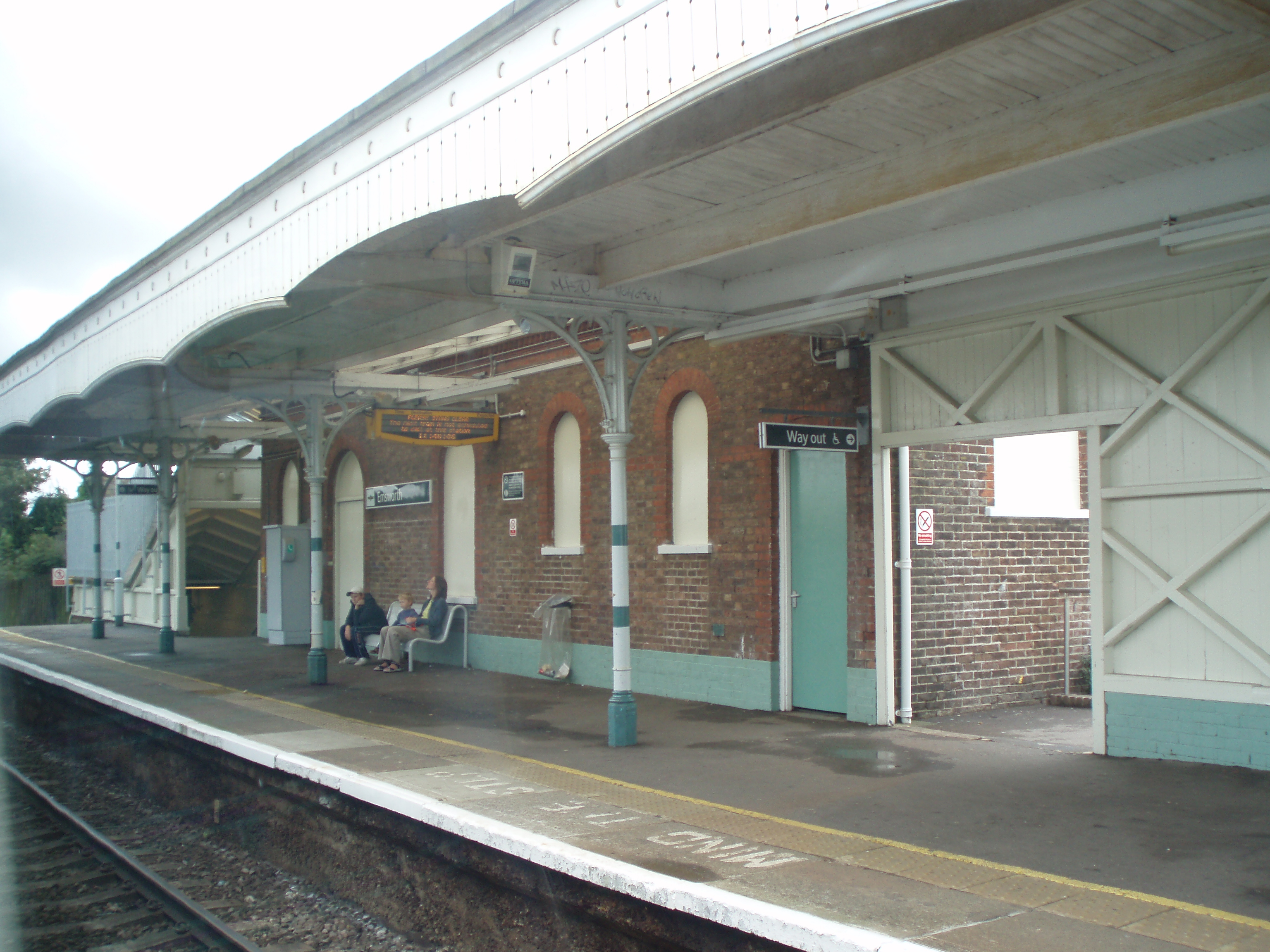
Emsworth railway station
Emsworth railway station serves the small town of Emsworth, on the Hampshire side of the border between Hampshire and West Sussex, in southern England...
Eames Farm
Eames Farm is a 132.5-hectare (327-acre) Local Nature Reserve on Thorney Island in West Sussex. It is owned by the Chichester Harbour Conservancy, West...
Warblington Meadow
Warblington Meadow is a 3.9-hectare (9.6-acre) biological Site of Special Scientific Interest west of Emsworth in Hampshire.This site has areas of fresh...
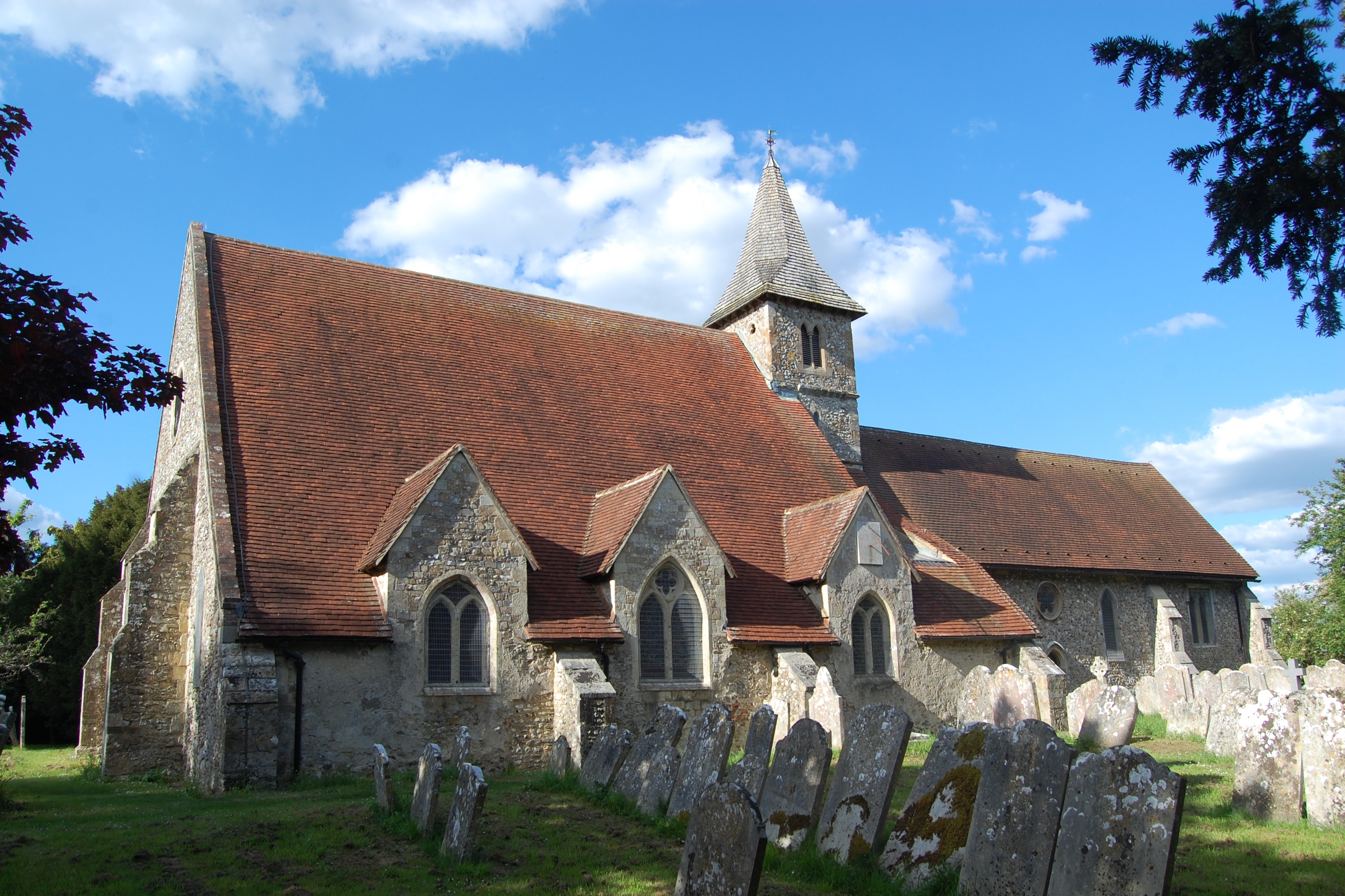
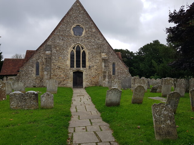
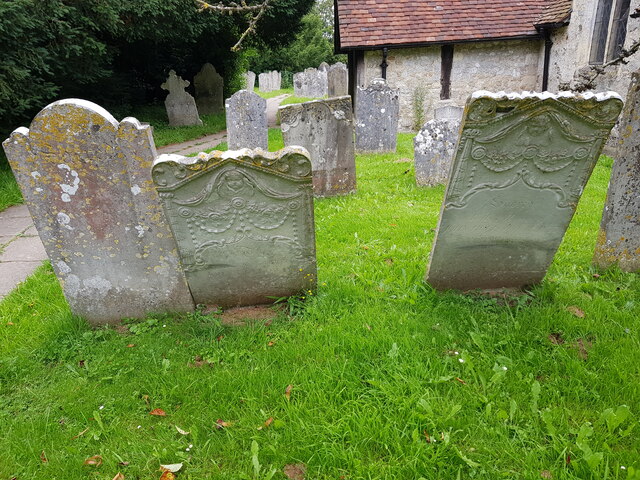
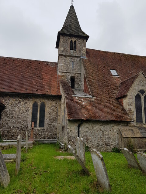
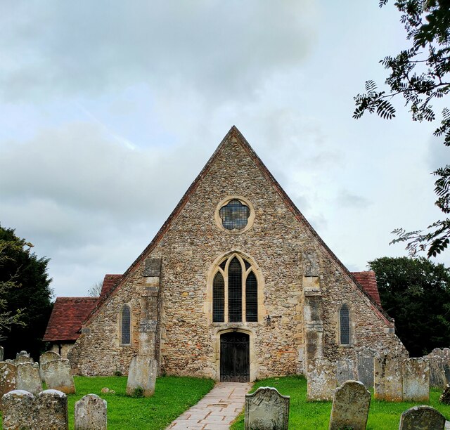
St Thomas à Becket Church, Warblington
St Thomas à Becket Church, sometimes referred to as St Thomas of Canterbury's Church and known until 1796 as the Church of Our Lady, is the Church of England...
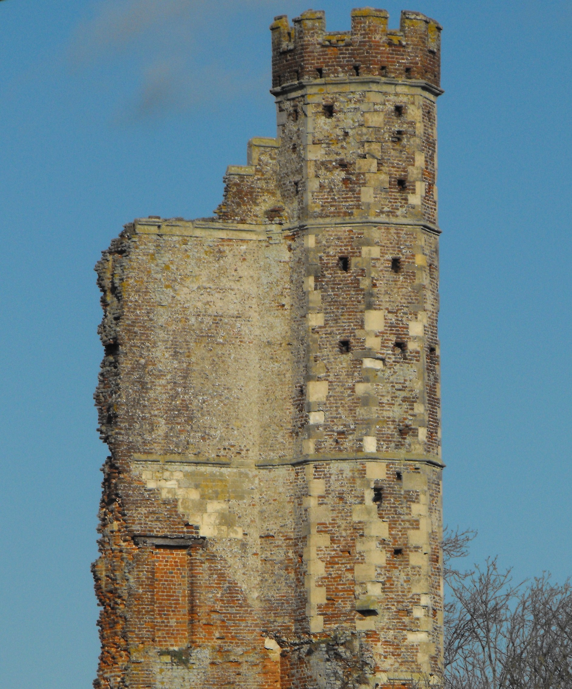
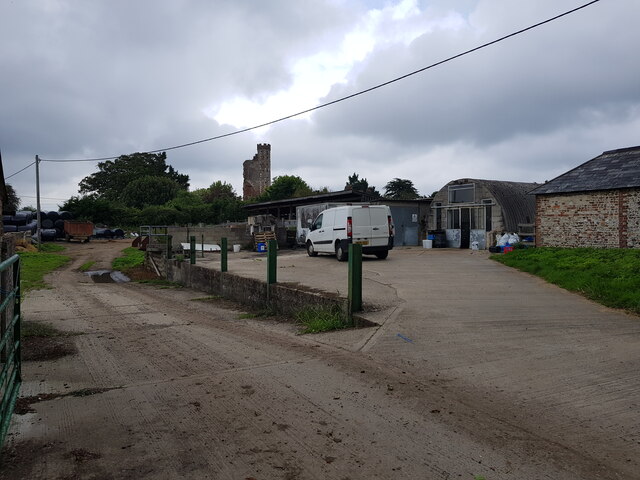
Warblington Castle
Warblington Castle or Warblington manor was a moated manor near Langstone in Havant parish, Hampshire. Most of the castle was destroyed during the English...
Related Videos

Hiking with me EDC Patrol Langstone Quay
Walk With Me EDC Patrol Langstone Quay https://www.google.com/maps/@50.8372123,-0.9803151,137m/data=!3m1!1e3.

Warblington Coast and Castle Hiking 13.06.2020
Great hiking route along the sea, wheat fields, lots of horses and cows and also close to ruins of 500 year-old Warblington ...


Floral decorated tea shop in Emsworth, Hampshire #shorts #uk #teashop #floral #floraldecor
Beautiful floral decorated on a tea shop in Emsworth, Hampshire in 4k shorts video.
Nearby Amenities
Located within 500m of 50.839833,-0.94451994Have you been to Emsworth Harbour?
Leave your review of Emsworth Harbour below (or comments, questions and feedback).