Barlow Reach
Sea, Estuary, Creek in Yorkshire Selby
England
Barlow Reach

Barlow Reach is a picturesque location situated along the coastline of Yorkshire, England. Nestled between towering cliffs and rolling hills, it is primarily known for its stunning sea views, expansive estuary, and tranquil creek. Its natural beauty and diverse ecosystem make it a popular destination for nature enthusiasts and outdoor adventurers.
The sea at Barlow Reach offers breathtaking vistas, with its deep blue waters stretching as far as the eye can see. The crashing waves create a mesmerizing symphony, attracting surfers and swimmers alike. The beach is a haven for sunbathers, with golden sands perfect for relaxing and soaking up the sun.
The estuary at Barlow Reach is a unique blend of saltwater and freshwater, making it a haven for a wide variety of marine life. The estuary is teeming with fish, crabs, and other sea creatures, attracting anglers and birdwatchers. It is also a popular spot for boating and sailing, with its calm waters and gentle breezes providing an ideal setting for water activities.
Nestled within the estuary is the serene Barlow Creek. This meandering waterway is surrounded by lush vegetation and offers a peaceful sanctuary for wildlife. Visitors can explore the creek by kayak or canoe, immersing themselves in the tranquility of nature as they navigate through its winding paths.
Overall, Barlow Reach in Yorkshire is a hidden gem that showcases the beauty and diversity of the region. Whether one seeks adventure on the sea, exploration of the estuary, or a peaceful retreat by the creek, this idyllic location has something to offer for everyone.
If you have any feedback on the listing, please let us know in the comments section below.
Barlow Reach Images
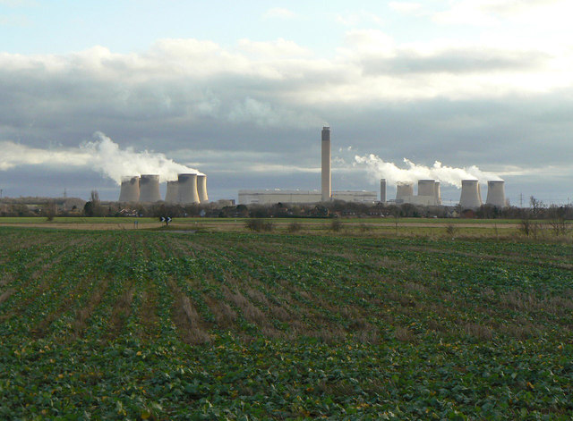
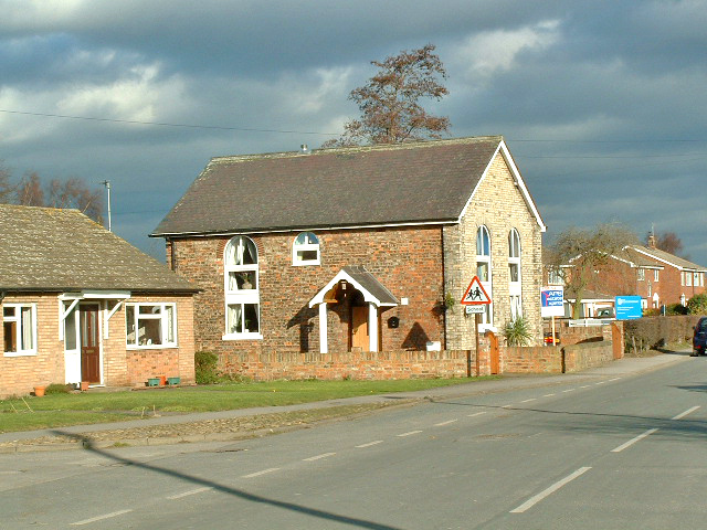
Images are sourced within 2km of 53.76137/-1.0184664 or Grid Reference SE6429. Thanks to Geograph Open Source API. All images are credited.


Barlow Reach is located at Grid Ref: SE6429 (Lat: 53.76137, Lng: -1.0184664)
Division: West Riding
Administrative County: North Yorkshire
District: Selby
Police Authority: North Yorkshire
What 3 Words
///swim.mavericks.workshop. Near Hemingbrough, North Yorkshire
Nearby Locations
Related Wikis
Barlow, North Yorkshire
Barlow is a small village and civil parish located in the Selby District of North Yorkshire, England, about 16 miles south of York. In the 2011 census...
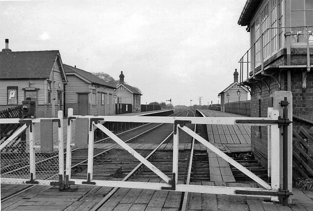
Barlow railway station
Barlow railway station was a railway station that served the village of Barlow in North Yorkshire, England from 1912 to 1964 via the Selby to Goole line...

River Ouse swing bridge
The River Ouse swing bridge is a road bridge over the River Ouse in North Yorkshire, England. It was opened in 2004 when the A63 road bypassed the town...

Drax Priory
Drax Priory was an Augustinian priory at Drax in North Yorkshire, England, founded between 1130 and 1139 by William Paynel. The Priory has sometimes been...
Nearby Amenities
Located within 500m of 53.76137,-1.0184664Have you been to Barlow Reach?
Leave your review of Barlow Reach below (or comments, questions and feedback).