Allen Reach
Sea, Estuary, Creek in Yorkshire Selby
England
Allen Reach

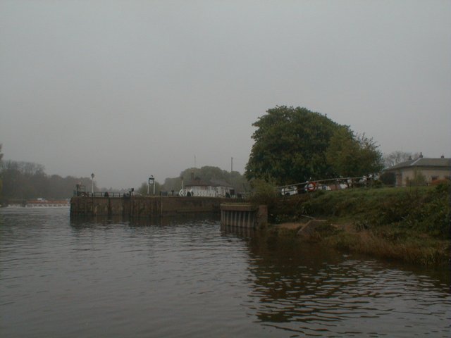
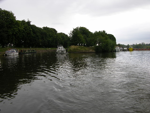
Allen Reach is a picturesque coastal area located in Yorkshire, England. Situated at the mouth of the River Allen, it encompasses a sea, estuary, and creek, offering a diverse range of natural beauty.
The sea at Allen Reach is a striking sight, with its vast expanse of azure waters stretching out towards the horizon. Visitors can enjoy the sandy beaches that line the coastline, perfect for sunbathing, picnicking, and leisurely walks. The sea also provides an opportunity for water sports enthusiasts, with activities such as surfing, sailing, and fishing being popular pastimes in the area.
The estuary of the River Allen adds to the charm of Allen Reach, offering a unique blend of saltwater and freshwater habitats. This rich ecosystem supports a variety of bird species and is a haven for birdwatchers. The estuary also provides an ideal setting for kayaking and canoeing, as the calm waters and stunning scenery make for a tranquil and enjoyable experience.
Nestled within the estuary, Allen Creek meanders through the landscape, enhancing the natural beauty of the area. The creek is a haven for wildlife, with an abundance of flora and fauna that call it home. Exploring the creek by foot or by boat allows visitors to discover hidden coves, lush marshlands, and stunning views of the surrounding countryside.
Overall, Allen Reach is a captivating destination that offers a harmonious blend of sea, estuary, and creek. Whether it is relaxation on the beach, exploring the diverse wildlife, or engaging in water sports, this coastal gem has something to offer for everyone.
If you have any feedback on the listing, please let us know in the comments section below.
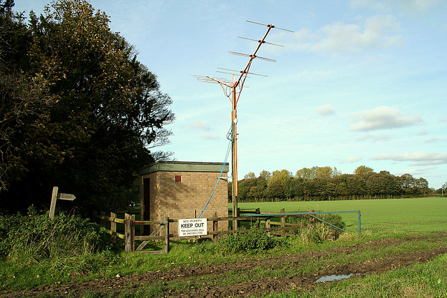
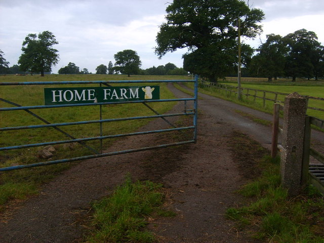
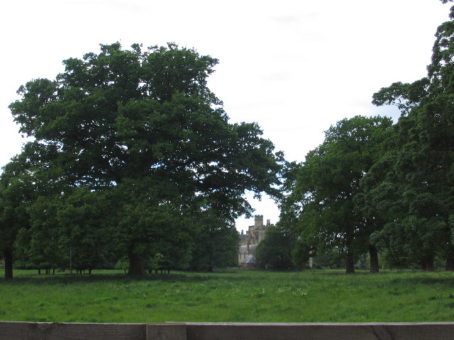
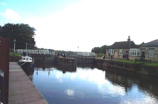
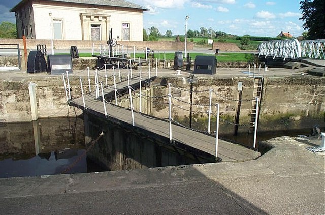
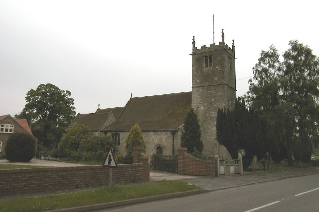
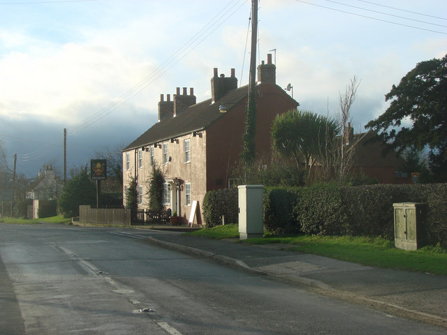
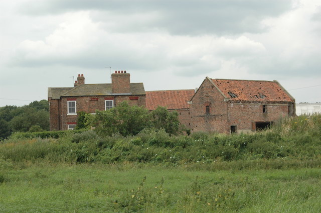
Allen Reach Images
Images are sourced within 2km of 53.876355/-1.1007436 or Grid Reference SE5942. Thanks to Geograph Open Source API. All images are credited.


Allen Reach is located at Grid Ref: SE5942 (Lat: 53.876355, Lng: -1.1007436)
Division: East Riding
Administrative County: North Yorkshire
District: Selby
Police Authority: North Yorkshire
What 3 Words
///dives.spouting.rocker. Near Deighton, North Yorkshire
Nearby Locations
Related Wikis

Acaster South Ings
Acaster South Ings is a Site of Special Scientific Interest, or SSSI, near York, England. It consists of two alluvial flood-meadows, and was designated...

RAF Acaster Malbis
Royal Air Force Acaster Malbis, or more simply RAF Acaster Malbis, is a former Royal Air Force station located 5.9 miles (9.5 km) south of York city centre...

Bell Hall
Bell Hall is a grade I listed building, in Naburn, in the rural southern part of the city of York, in England. The house was built in 1680 for John Hewley...
St Helen's Church, Stillingfleet
St Helen's Church is the parish church of Stillingfleet, in North Yorkshire, in England. == History == The church was originally built in about 1145, from...
Stillingfleet
Stillingfleet is a village and civil parish in North Yorkshire, England. It was in the historic East Riding of Yorkshire, but since 1974 has come under...
Acaster Selby
Acaster Selby is a village in the former Selby District of North Yorkshire, England. It is part of the joint civil parish with Appleton Roebuck (where...

Escrick railway station
Escrick railway station served the village of Escrick, North Yorkshire, England from 1871 to 1961 on the East Coast Main Line. == History == The station...
Bishopthorpe Rural District
Bishopthorpe was a rural district in the West Riding of Yorkshire from 1894 to 1937. It was formed under the Local Government Act 1894 from that part of...
Nearby Amenities
Located within 500m of 53.876355,-1.1007436Have you been to Allen Reach?
Leave your review of Allen Reach below (or comments, questions and feedback).