Tees Mouth
Sea, Estuary, Creek in Durham
England
Tees Mouth

Tees Mouth is a geographical feature located in County Durham, England. It refers to the area where the River Tees meets the North Sea, forming an estuary or a creek, depending on the perspective. The Tees Mouth is situated near the towns of Redcar and Hartlepool, and it plays a significant role in the region's maritime history and economy.
The estuary itself is a broad, shallow basin where the river water mixes with the saltwater from the North Sea. The tidal movements in this area are notable, causing the river's water level to rise and fall dramatically throughout the day. The estuary is also home to a diverse range of flora and fauna, including various bird species and marine life.
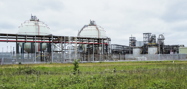
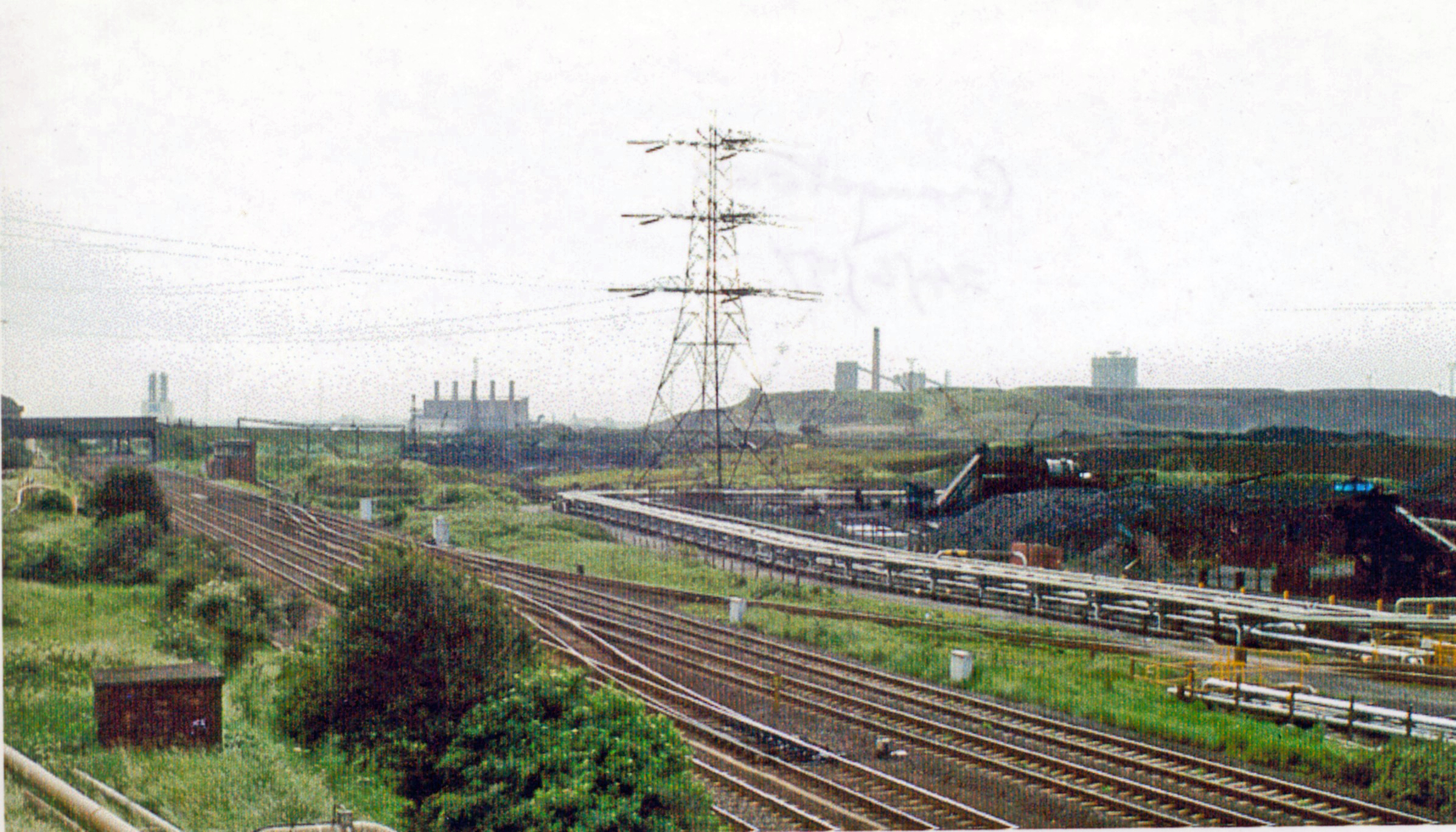
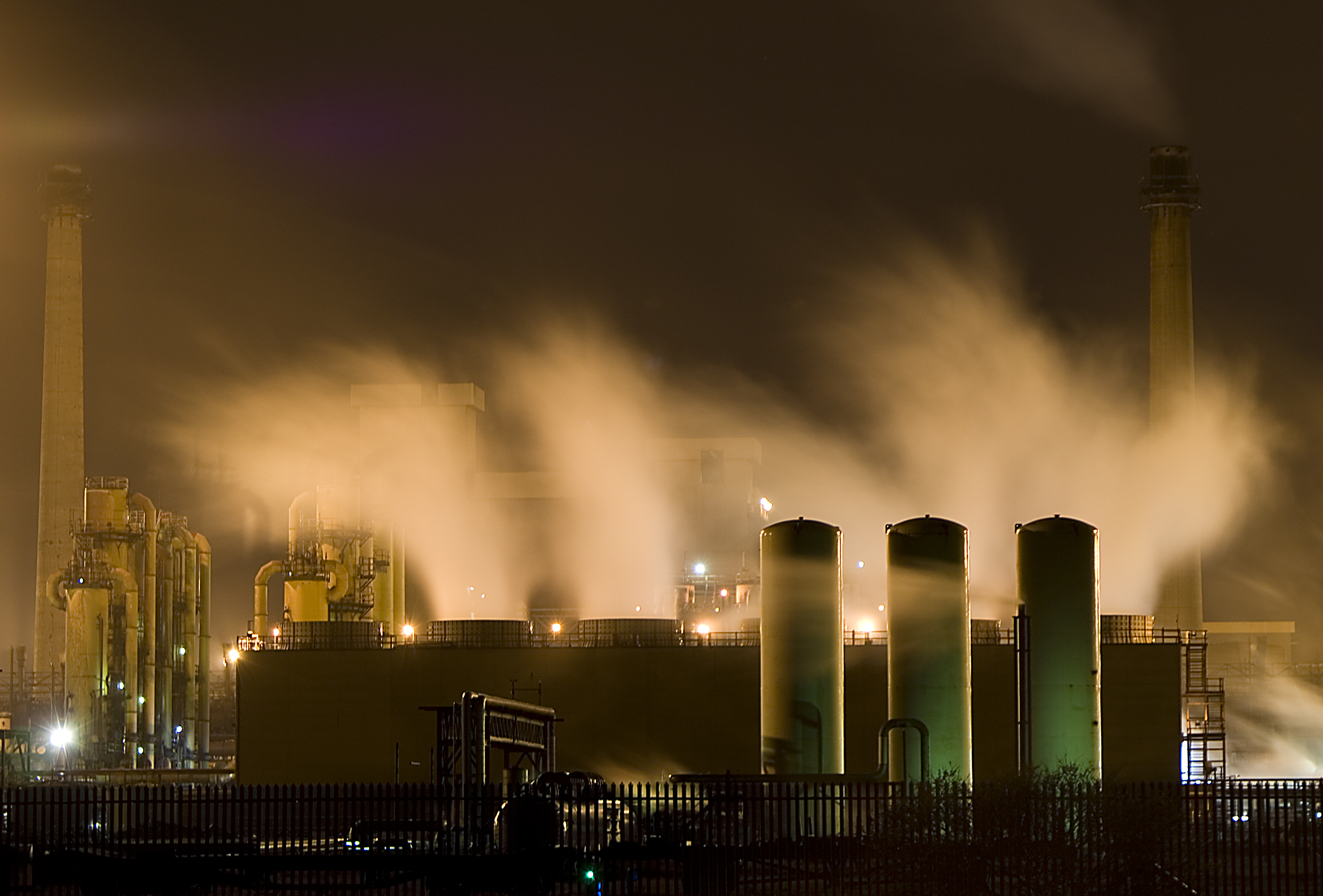
The Tees Mouth has been a key hub for maritime trade and transport for centuries. The port of Teesport, located near the estuary, is one of the largest and busiest ports in the United Kingdom. It handles a wide range of cargo, including bulk commodities, containers, and liquid products. The port's accessibility to the North Sea makes it an ideal location for international shipping and trade.
In addition to its economic significance, Tees Mouth also offers recreational opportunities for locals and tourists. The area is popular for fishing, boating, and birdwatching. Visitors can enjoy scenic walks along the estuary's shores, witnessing the dynamic interplay between the river and the sea.
Overall, Tees Mouth is a vital natural and commercial landmark within County Durham. Its estuary and port have shaped the region's history, providing a gateway for trade, supporting local industries, and offering a place of natural beauty for both residents and visitors.
If you have any feedback on the listing, please let us know in the comments section below.
Tees Mouth Images
Images are sourced within 2km of 54.605892/-1.1623351 or Grid Reference NZ5423. Thanks to Geograph Open Source API. All images are credited.


Tees Mouth is located at Grid Ref: NZ5423 (Lat: 54.605892, Lng: -1.1623351)
Unitary Authority: Stockton-on-Tees
Police Authority: Cleveland
What 3 Words
///hogs.begins.scuba. Near South Bank, North Yorkshire
Nearby Locations
Related Wikis

Teesport
Teesport is a large sea port located in the unitary authority of Redcar and Cleveland, in the ceremonial county of North Yorkshire, Northern England. Owned...

Tees Renewable Energy Plant
Tees Renewable Energy Plant is a proposed biomass fueled power station situated on the River Tees at Teesport in Redcar and Cleveland, North East England...
Grangetown railway station (England)
Grangetown railway station served the township of Grangetown in the Borough of Redcar and Cleveland, North East England between 1885 and 1991 as a stop...
Lazenby railway station
Lazenby railway station served the village of Lazenby, North Yorkshire, England, from 1846 to 1864 on the Middlesbrough and Redcar Railway. == History... ==
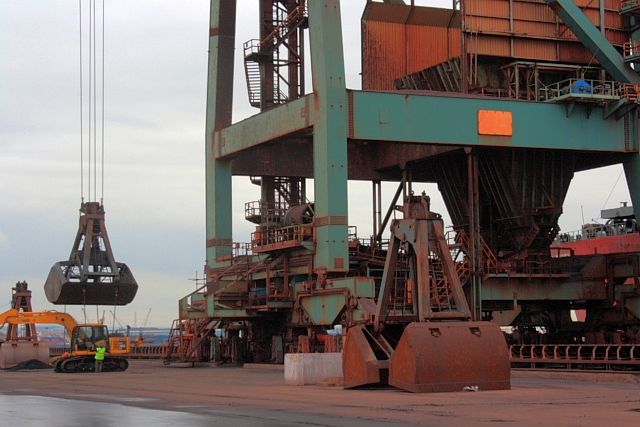
Redcar Bulk Terminal
Redcar Bulk Terminal (RBT), also known as Redcar Ore Terminal, is a privately run dock at the mouth of the Tees Estuary in North Yorkshire, England. The...
Teesside Steelworks
The Teesside Steelworks was a large steelworks that formed a continuous stretch along the south bank of the River Tees from the towns of Middlesbrough...
County Borough of Teesside
The County Borough of Teesside was a short lived county borough and civil parish in the North Riding of Yorkshire (Northern England) geographical county...

Teesside
Teesside () is a built-up area around the River Tees in North East England, split between County Durham and North Yorkshire. The area contains the towns...
Nearby Amenities
Located within 500m of 54.605892,-1.1623351Have you been to Tees Mouth?
Leave your review of Tees Mouth below (or comments, questions and feedback).