Billingham Reach
Sea, Estuary, Creek in Durham
England
Billingham Reach
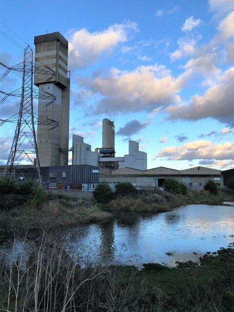
Billingham Reach is a body of water located in the county of Durham, in the northeast of England. It is a tidal estuary that stretches along the southern bank of the River Tees, spanning approximately 10 kilometers in length. The reach begins at the mouth of the river, where it meets the North Sea, and extends inland until reaching the town of Billingham.
As an estuary, Billingham Reach is influenced by both the river and the sea, resulting in a unique and dynamic ecosystem. The tidal movements of the North Sea bring a constant flow of seawater into the reach, creating a brackish environment where freshwater from the river mixes with the saltwater from the sea. This blend of waters supports a diverse range of marine and estuarine species, making it an important habitat for wildlife.
The reach is also characterized by its surrounding landscapes and features. On its eastern side, there are expansive salt marshes and mudflats, which provide feeding grounds for numerous bird species, including waders and waterfowl. On the western bank, there are industrial areas and the town of Billingham, which was historically built around the reach due to its navigable waters.
Billingham Reach serves as a significant transportation route, allowing vessels to access the ports along the River Tees. It is navigable for ships of various sizes, playing a crucial role in the region's economy and trade.
Overall, Billingham Reach is a picturesque and ecologically important estuary, combining natural beauty with industrial significance. It offers a diverse range of habitats and supports a variety of wildlife, making it a valuable asset to the region.
If you have any feedback on the listing, please let us know in the comments section below.
Billingham Reach Images
Images are sourced within 2km of 54.586089/-1.2595765 or Grid Reference NZ4721. Thanks to Geograph Open Source API. All images are credited.


Billingham Reach is located at Grid Ref: NZ4721 (Lat: 54.586089, Lng: -1.2595765)
Unitary Authority: Stockton-on-Tees
Police Authority: Cleveland
What 3 Words
///backs.shave.grid. Near Billingham, Co. Durham
Nearby Locations
Related Wikis

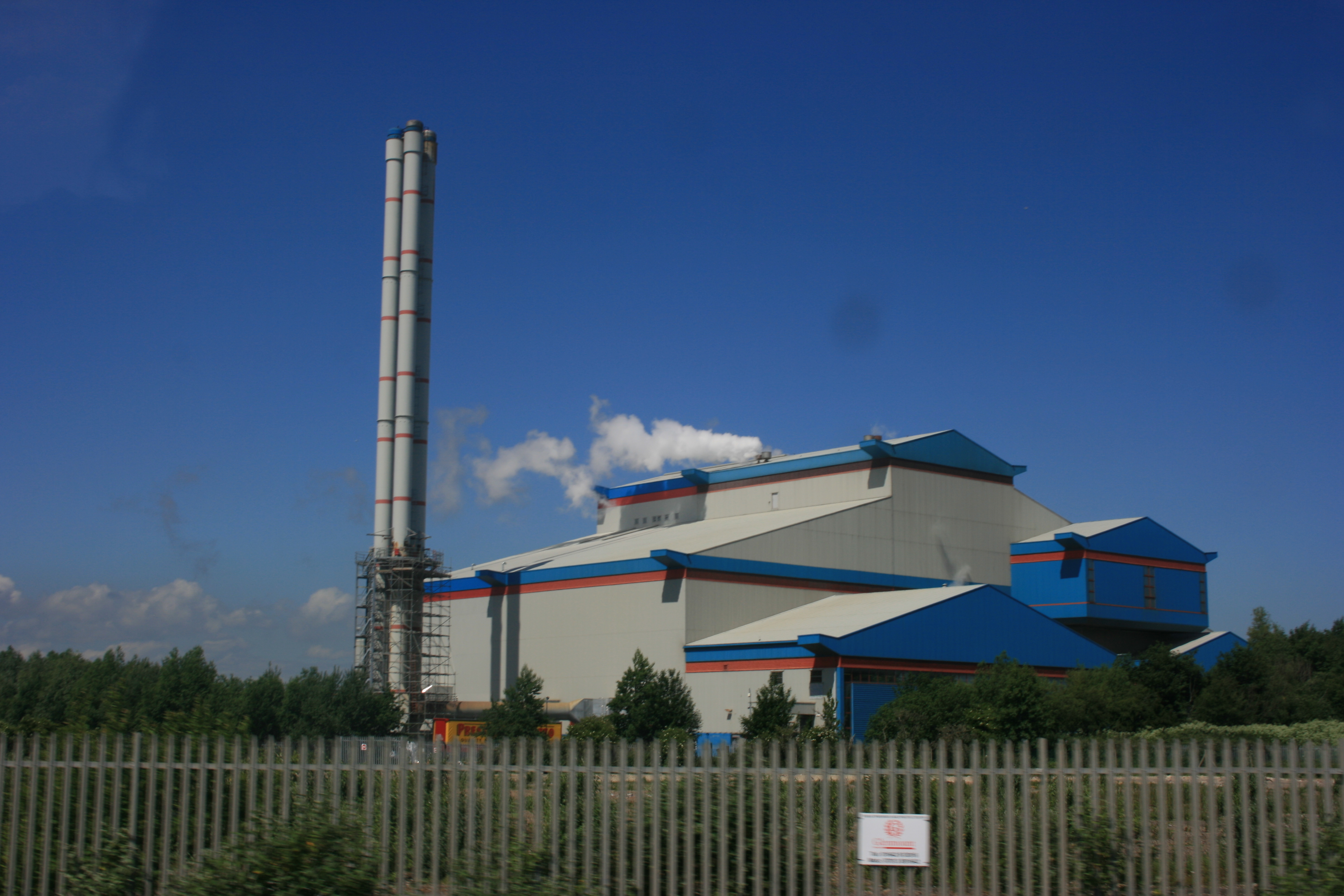
Billingham Biomass Power Station
Billingham Biomass Power Station is a planned biomass power station, that is to be built on the River Tees at Billingham. It is to be built on the site...
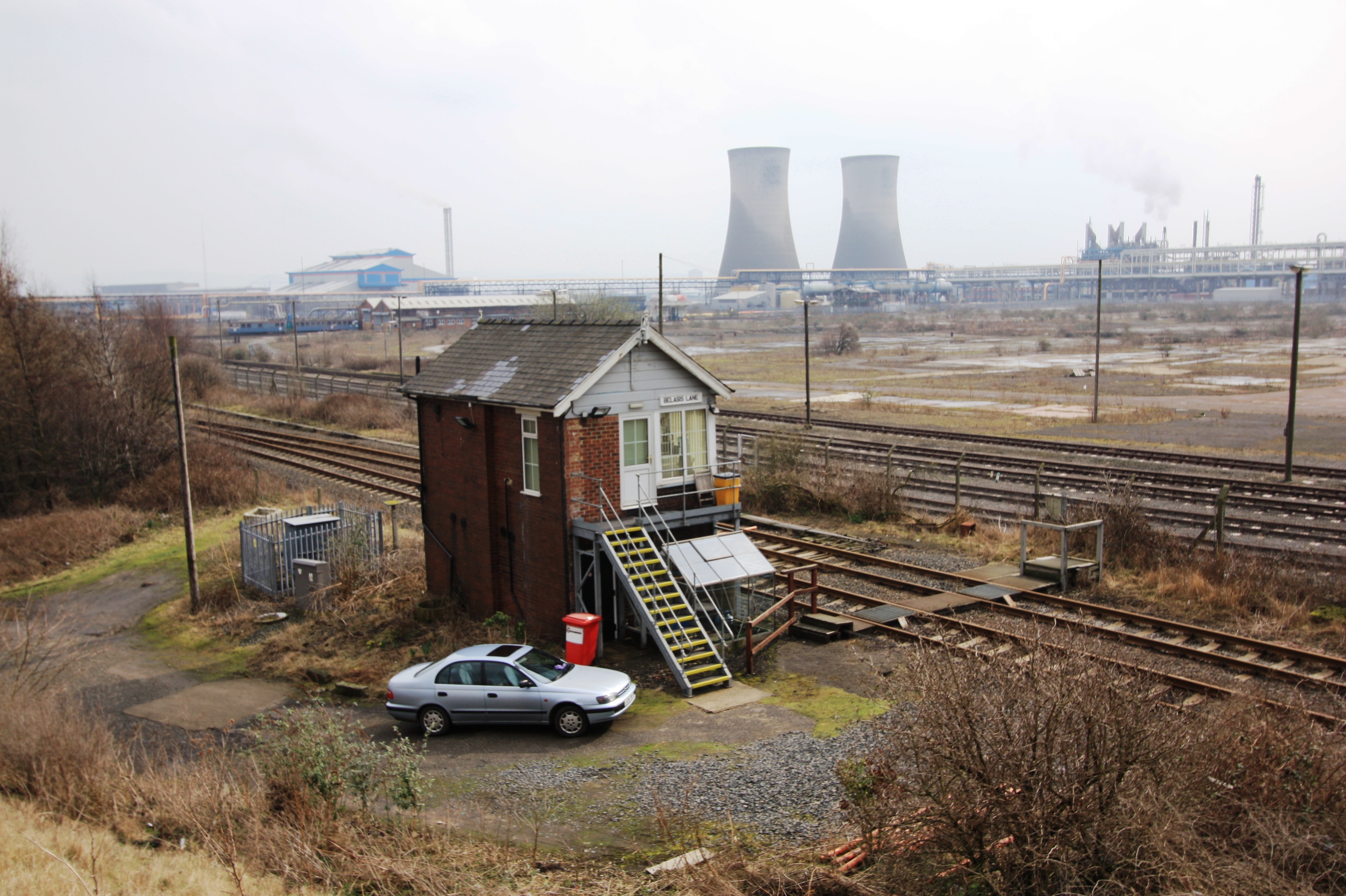
North Tees Power Station
North Tees Power Station refers to a series of three coal-fired power stations on the River Tees at Billingham in County Durham. Overall, they operated...
Teessaurus Park
Teessaurus Park is a 10 acre urban grassland recreational area and sculpture park opened in 1979 in the Riverside Park light industrial estate, Middlesbrough...
Teesside EfW
Teesside Energy from Waste plant (also known as Teesside WTE power station or Haverton Hill incinerator) is a municipal waste incinerator and waste-to...
Offshore Structures (Britain) Ltd.
Offshore Structures (Britain) Ltd. is a marine offshore structure foundation manufacture based at Haverton Hill near Billingham on the north bank of the...
Haverton Hill
Haverton Hill is an area within the borough of Stockton-on-Tees and ceremonial county of County Durham, England. Once considered a part of Billingham,...
The Northern School of Art
The Northern School of Art is a further and higher education art and design college, based in Middlesbrough and Hartlepool in the north-east of England...

Tees Newport Bridge
The Tees Newport Bridge is a vertical-lift bridge spanning the River Tees a short distance upriver from Tees Transporter Bridge, linking Middlesbrough...
Related Videos

Top Sights of MIDDLESBROUGH, UK - my home town!
No one, as far as I can tell, has ever made a tourist's guide to Middlesbrough, the old industrial Northern town in which I was born.


Walking tour in Middlesbrough, England(UK) 4K
Walking tour in Middlesbrough, England on August 5th, 2019. Middlesbrough is a large post-industrial town in North Yorkshire, ...

Summer walk in Middlesbrough | Sunny day | 4K.
Enjoy the sun with me in the summer walk around Middlesbrough town centre. 4K video. Thanks for watching and sharing, please ...
Nearby Amenities
Located within 500m of 54.586089,-1.2595765Have you been to Billingham Reach?
Leave your review of Billingham Reach below (or comments, questions and feedback).