South Bight of Rovahead
Sea, Estuary, Creek in Shetland
Scotland
South Bight of Rovahead
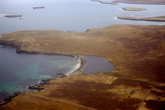
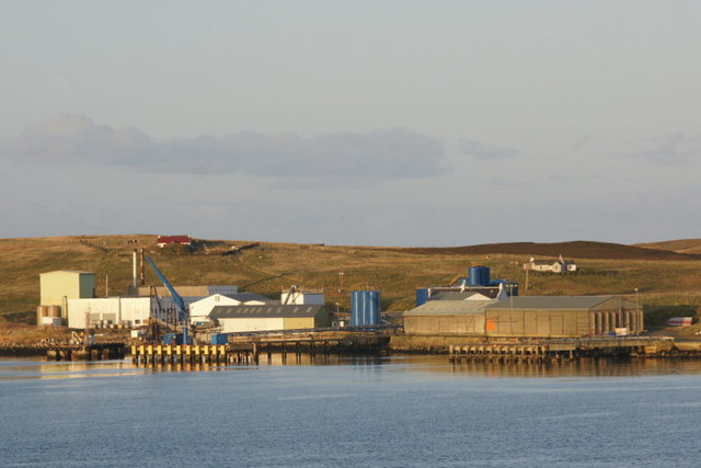
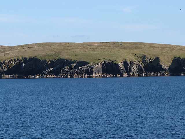
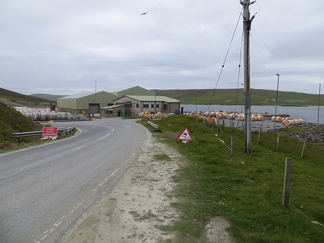
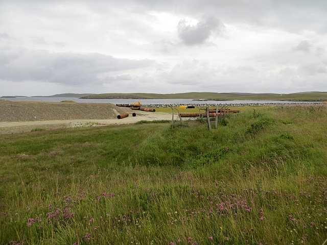
South Bight of Rovahead is a picturesque coastal area located in the Shetland Islands, Scotland. It is a natural bay that offers stunning views of the North Sea and serves as an estuary for several small creeks that flow into it. This area is known for its diverse marine ecosystem and its importance as a breeding ground for various species of birds and fish.
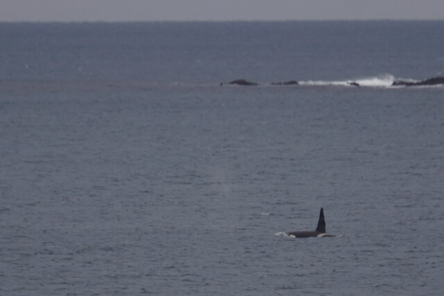
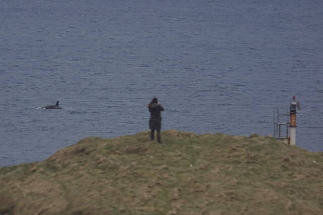
The South Bight is characterized by its rugged coastline, with rocky cliffs and sandy beaches that provide a habitat for various seabirds, including puffins, kittiwakes, and guillemots. The surrounding waters are rich in marine life, attracting seals, dolphins, and even occasional sightings of whales.
The estuary of South Bight is formed by several small creeks that meander through the surrounding hills and flow into the bay. These creeks provide sheltered habitats for numerous species of fish, such as salmon, trout, and flounder. They also support a variety of plant life, including salt marshes and reed beds.
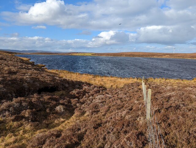
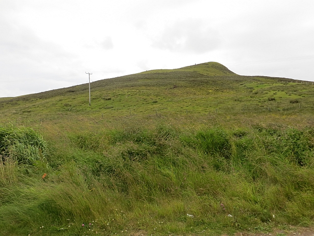
The South Bight of Rovahead is a popular destination for nature lovers and outdoor enthusiasts. Visitors can enjoy activities such as birdwatching, fishing, and hiking along the coastal paths that offer panoramic views of the surrounding landscape. The area is also home to a diverse range of flora and fauna, with wildflowers, heather, and grasses covering the hillsides.
Overall, the South Bight of Rovahead in Shetland is a beautiful and ecologically significant coastal area, offering a unique blend of natural beauty and diverse wildlife. It is a must-visit destination for those seeking a peaceful retreat in the midst of Scotland's stunning landscape.
If you have any feedback on the listing, please let us know in the comments section below.
South Bight of Rovahead Images
Images are sourced within 2km of 60.188903/-1.1454788 or Grid Reference HU4745. Thanks to Geograph Open Source API. All images are credited.


South Bight of Rovahead is located at Grid Ref: HU4745 (Lat: 60.188903, Lng: -1.1454788)
Unitary Authority: Shetland Islands
Police Authority: Highlands and Islands
What 3 Words
///pitchers.tailing.strutting. Near Lerwick, Shetland Islands
Related Wikis
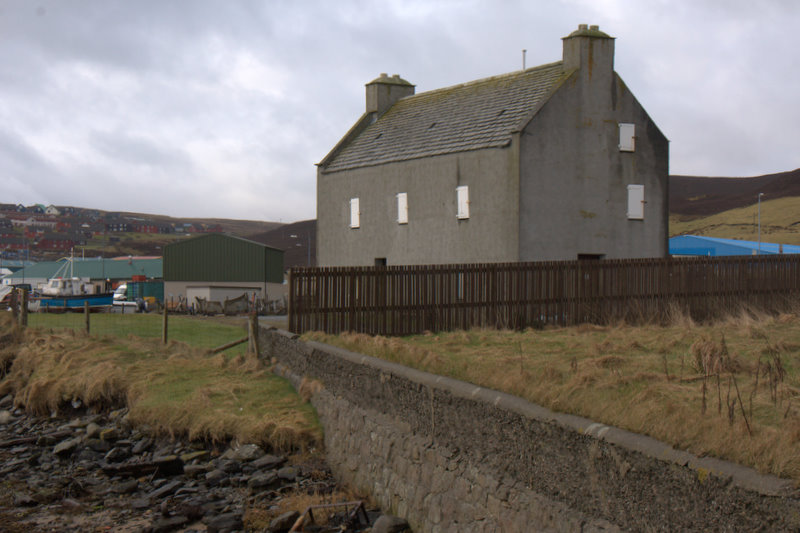
Böd of Gremista
The Böd of Gremista, situated at the north end of Lerwick, Shetland, Scotland, is a typical 18th century Shetland fishing booth (or böd). It is protected...
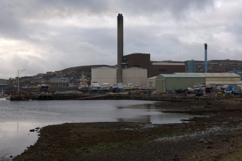
Lerwick Power Station
The main power supply for Shetland is provided by Lerwick Power Station, located in Gremista, 2 kilometres (1.2 mi) northwest of Lerwick town centre. This...

Breiwick
Breiwick is a village on the island of Mainland in Shetland, Scotland. Breiwick is in the parish of Tingwall, and is 1.6 mi (2.5 km) north-east of Gott...

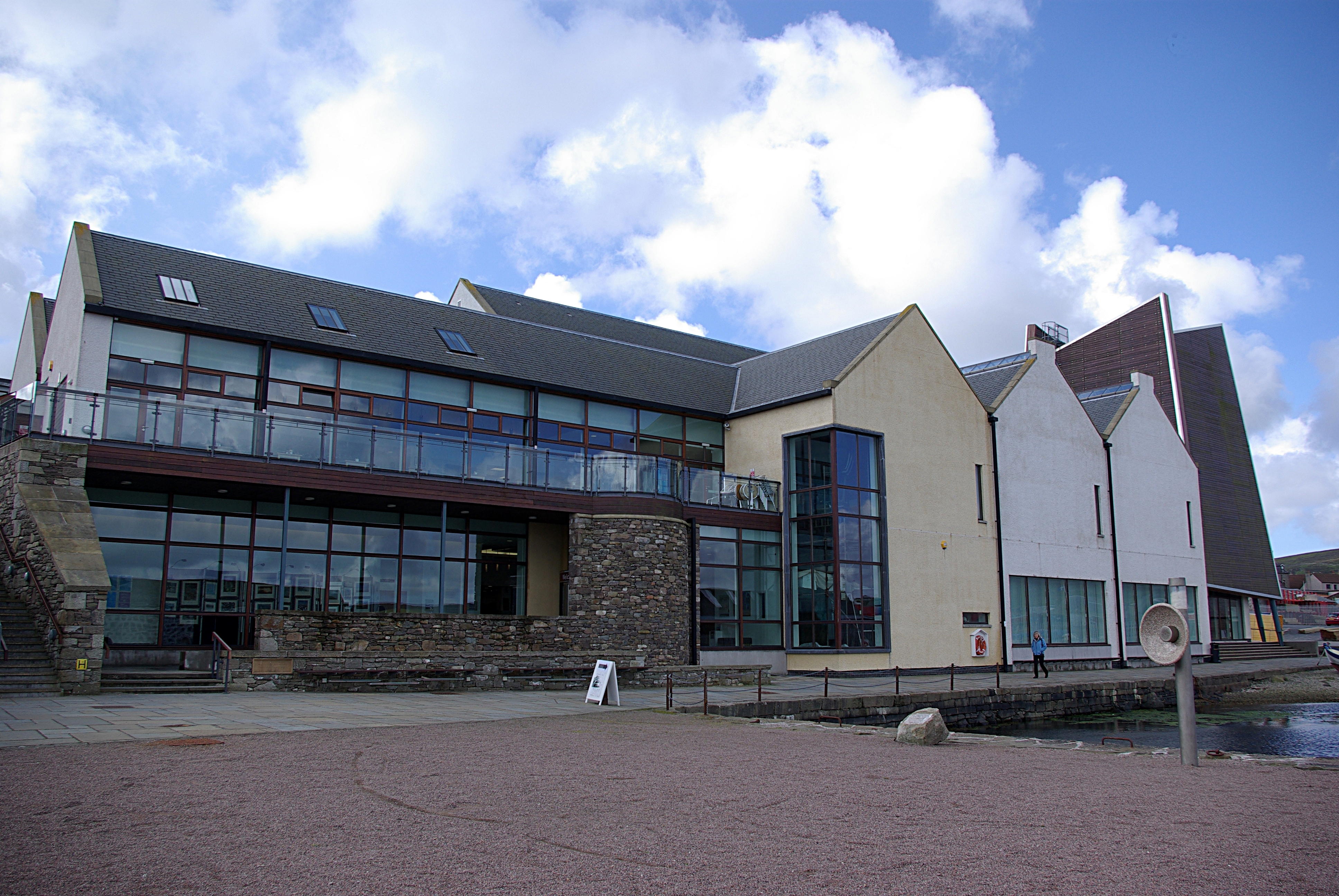
Mareel
Mareel is a multi-purpose entertainment venue located on the waterfront of Lerwick, the capital of Shetland. Opening in 2012, the facility includes a music...
Shetland Museum
The Shetland Museum and Archives is a museum in Lerwick, Shetland, Scotland. The new Shetland Museum at Hay's Dock was officially opened on 31 May 2007...

Gardie House
Gardie House is an 18th-century estate house on Bressay in Shetland, Scotland. Located opposite Lerwick, across the Bressay Sound, Gardie is described...

Viking bus station
Viking Bus Station is a bus station in Lerwick, Shetland, Scotland. The station is used both by passengers and for freight, which is transported by bus...
SIBC
Shetland Islands Broadcasting Company (SIBC) is an Independent Local Radio station broadcasting in the Shetland Islands. Its coverage area is Shetland...
Nearby Amenities
Located within 500m of 60.188903,-1.1454788Have you been to South Bight of Rovahead?
Leave your review of South Bight of Rovahead below (or comments, questions and feedback).