Otter Geo
Sea, Estuary, Creek in Shetland
Scotland
Otter Geo
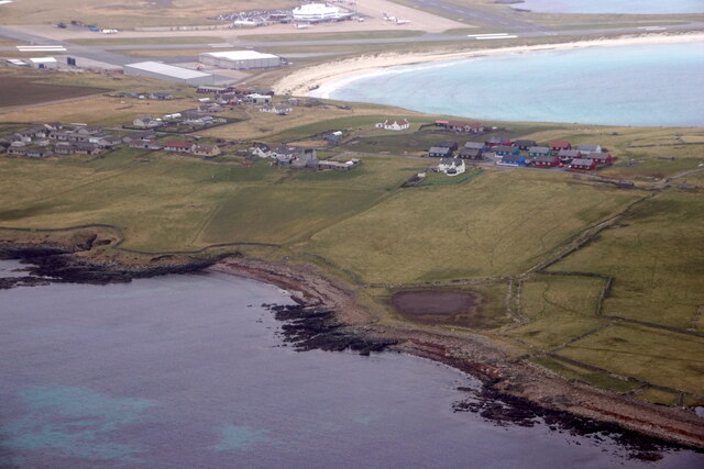
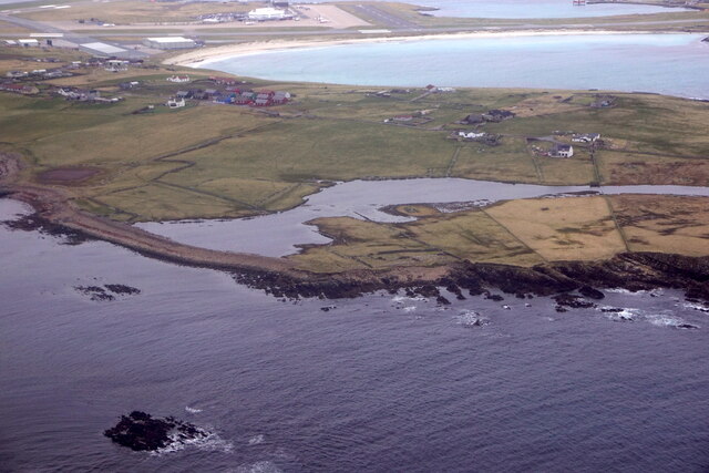
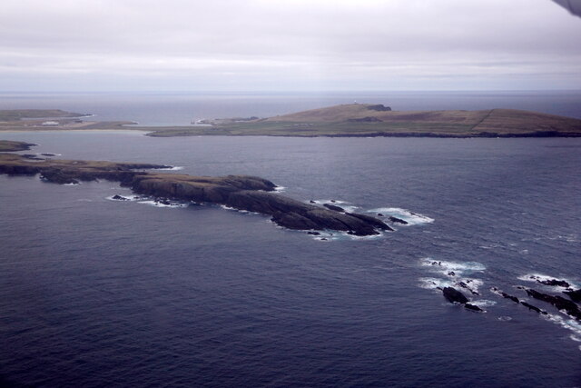
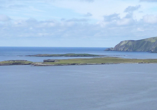
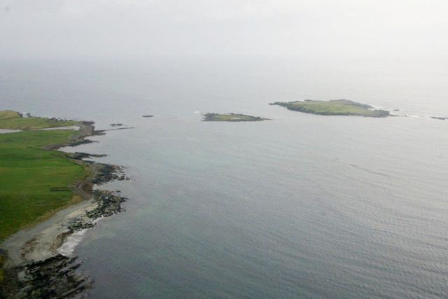
Otter Geo is a picturesque coastal feature located on the Shetland Islands, specifically on the west coast of the main island of Shetland. It is a combination of a sea inlet, estuary, and creek, making it a diverse and dynamic natural environment.
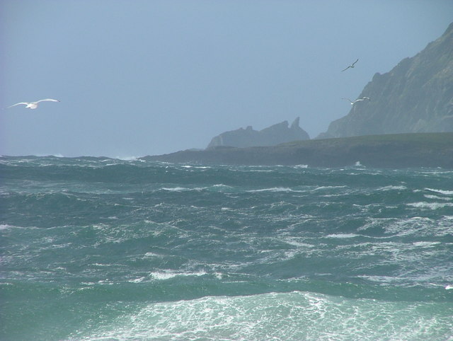
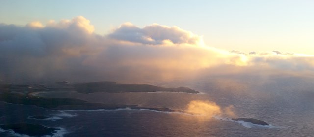
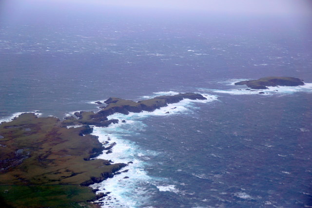
Situated amidst rugged and dramatic cliffs, Otter Geo offers stunning panoramic views of the surrounding landscape. The sea inlet provides direct access to the North Atlantic Ocean, allowing for the exchange of water and marine life. Its proximity to the open sea also means that the area experiences the influence of tides and currents, resulting in constantly changing water levels and flow patterns.
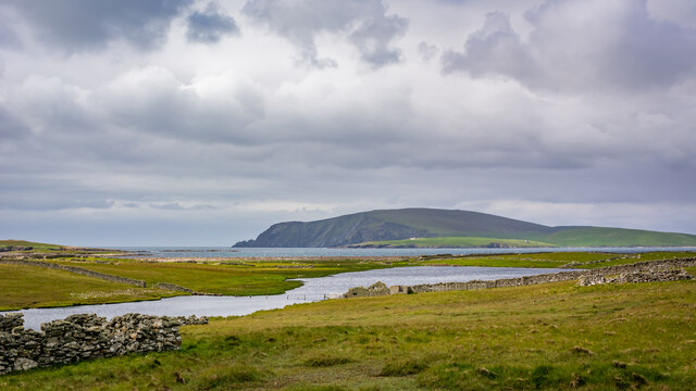
The estuary formed within Otter Geo acts as a transition zone between the sea and the freshwater environment. This creates a unique habitat where both marine and freshwater species can thrive. It is home to a variety of flora and fauna, including seaweeds, mollusks, small fish, and crustaceans. The estuary also serves as a feeding ground and resting place for numerous bird species, such as gulls, wading birds, and even occasional sightings of rare seabirds.
The creek within Otter Geo is a small, narrow waterway that meanders through the surrounding cliffs and rocky terrain. It provides a sheltered and calm environment, particularly during low tide, making it an ideal spot for otters to reside. These playful creatures are often observed swimming, fishing, and lounging along the creek's banks.
Overall, Otter Geo in Shetland is a visually stunning and ecologically rich area, offering a diverse range of habitats that support a wide variety of marine and bird life. Its natural beauty and abundant wildlife make it a popular destination for nature enthusiasts and wildlife photographers.
If you have any feedback on the listing, please let us know in the comments section below.
Otter Geo Images
Images are sourced within 2km of 59.871168/-1.3325728 or Grid Reference HU3709. Thanks to Geograph Open Source API. All images are credited.


Otter Geo is located at Grid Ref: HU3709 (Lat: 59.871168, Lng: -1.3325728)
Unitary Authority: Shetland Islands
Police Authority: Highlands and Islands
What 3 Words
///skies.shuffles.solar. Near Sumburgh, Shetland Islands
Nearby Locations
Related Wikis

Lady's Holm
Lady's Holm is an island off southern Mainland in the Shetland Islands. It is not to be confused with the Maiden Stack, which is also known as "Frau Stack...
Little Holm, Dunrossness
Little Holm is a small island to the west of South Mainland in Shetland. It is near Scatness and Lady's Holm. A trawler was wrecked there in 1916. ��2...
Scatness
Scatness is a settlement on the headland of Scat Ness at the southern tip of Mainland, Shetland, Scotland, across the West Voe of Sumburgh from Sumburgh...
MV Braer
The MV Braer was an oil tanker which ran aground during a storm off Shetland, Scotland, in January 1993, and nearly a week later broke up during the most...

Old Scatness
Old Scatness is an archeological site on Scat Ness, near the village of Scatness, in the parish of Dunrossness in the south end of Mainland, Shetland,...

Ness of Burgi
The Ness of Burgi is a narrow peninsula that stretches to the south from the Scat Ness headland of Mainland, Shetland, a Scottish island. It is in the...

West Voe of Sumburgh
The West Voe of Sumburgh, (grid reference: HU 395 088), is the most southerly bay on the Shetland Mainland, located between Sumburgh Head, and the point...
Virkie
Virkie is the most southerly district of Shetland, other than Fair Isle and is best defined as the area south of the Ward Hill in Dunrossness, also locally...
Have you been to Otter Geo?
Leave your review of Otter Geo below (or comments, questions and feedback).