Foula Wick

Sea, Estuary, Creek in Shetland

Scotland

Foula Wick

Peat Cutting, Shetland Cutting peat for domestic heating used to be widespread, but less so now.  The photo shows the face that is being worked, the stacked peats set out to drain and dry and the bagged peat ready to be taken away.
Peat Cutting, Shetland Credit: Robert Bone

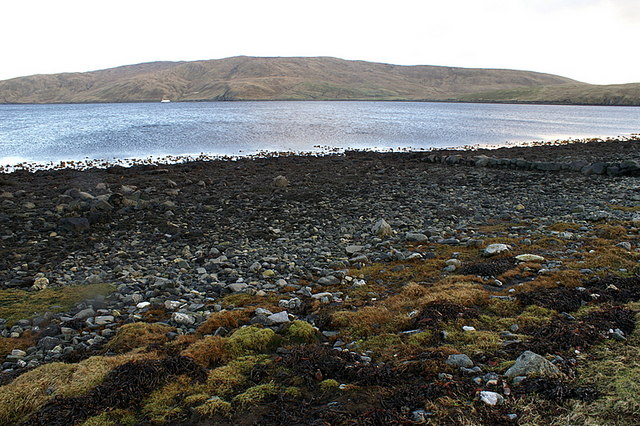
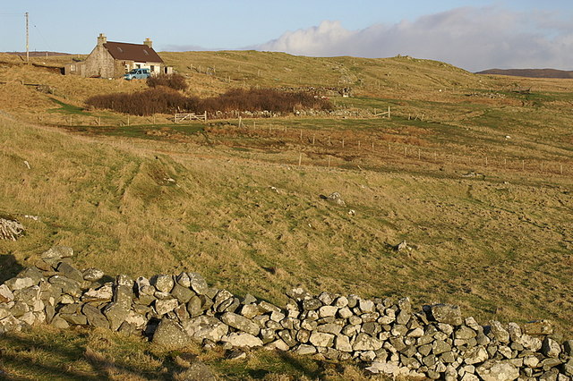
Foula Wick is a small inlet located on the western coast of the island of Foula, which is part of the Shetland archipelago in Scotland. Situated in the North Atlantic Ocean, Foula Wick is characterized by its rugged and dramatic coastal landscape.

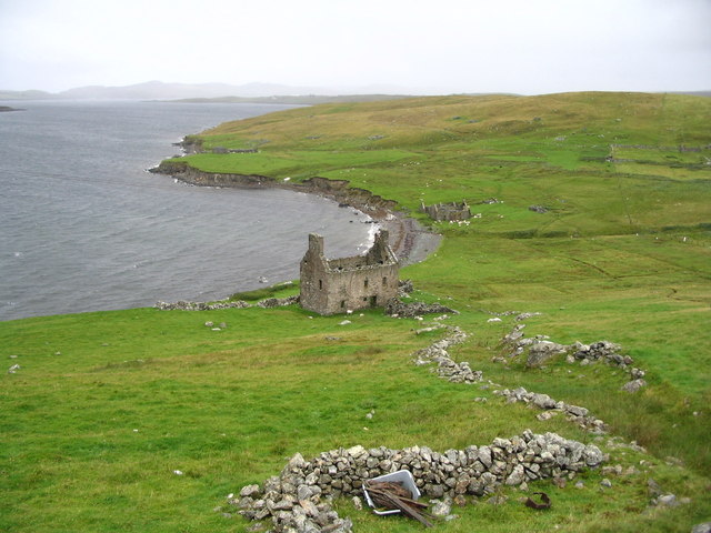
The wick is formed by a narrow opening between towering cliffs that give way to a small, sheltered bay. The area is known for its steep slopes, which are covered in heather, grasses, and wildflowers. The cliffs provide nesting sites for a variety of seabirds, including puffins, fulmars, and guillemots.

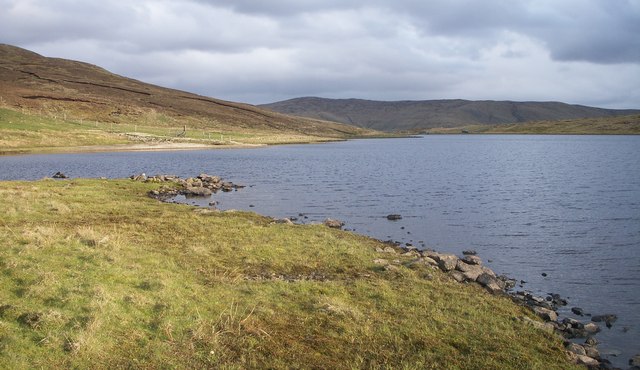
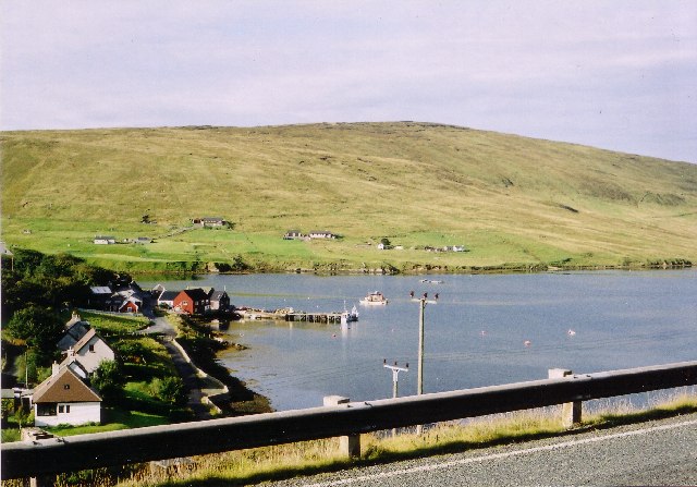
The waters of Foula Wick are influenced by the strong tidal currents of the Atlantic Ocean. The sea surrounding the wick is rich in marine life, including seals, dolphins, and various species of fish. The intertidal zone is home to an array of marine invertebrates, such as crabs, mussels, and sea urchins.

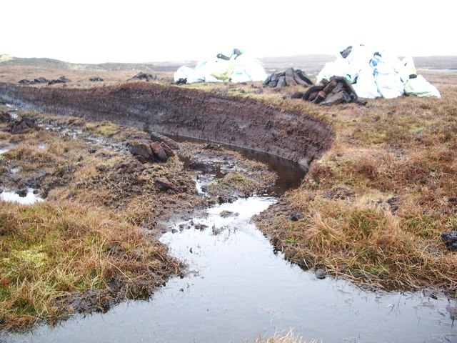
During low tide, a small creek meanders through the wick, creating a picturesque scene as it winds its way through the rocky terrain. The creek is fed by freshwater streams that flow from the surrounding hills, creating a unique mix of freshwater and saltwater environments.

Foula Wick is a popular spot for nature lovers and outdoor enthusiasts. Visitors can enjoy scenic walks along the cliffs, birdwatching opportunities, and the chance to explore the rocky shoreline. The area offers a tranquil and remote setting, allowing visitors to immerse themselves in the natural beauty of Scotland's Shetland Islands.

If you have any feedback on the listing, please let us know in the comments section below.
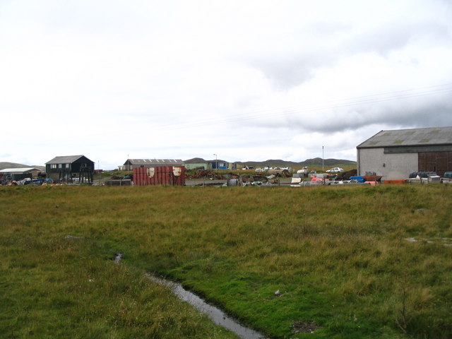
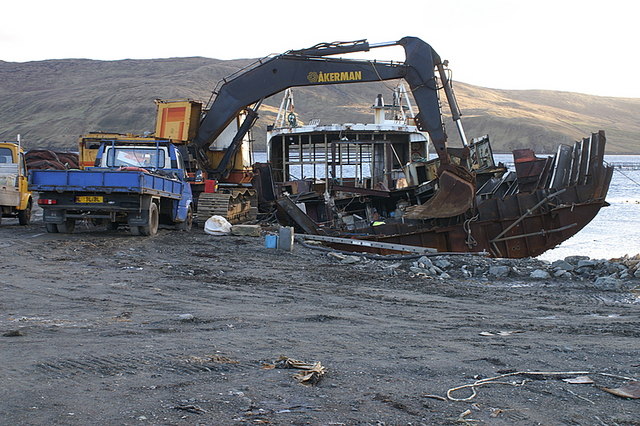
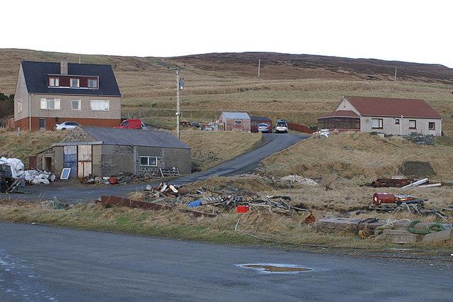
Foula Wick Images

Images are sourced within 2km of 60.367347/-1.3254489 or Grid Reference HU3765. Thanks to Geograph Open Source API. All images are credited.

Peat Cutting, Shetland Cutting peat for domestic heating used to be widespread, but less so now.  The photo shows the face that is being worked, the stacked peats set out to drain and dry and the bagged peat ready to be taken away.
Peat Cutting, Shetland
Cutting peat for domestic heating used to be widespread, but less so now. The photo shows the face that is being worked, the stacked peats set out to drain and dry and the bagged peat ready to be taken away.
Mussel Rafts, Olna Firth, Shetland Looking over Olna Firth at moored mussel rafts. Ropes hang weighted beneath the floats and mussels attach themselves and grow on the ropes.
Mussel Rafts, Olna Firth, Shetland
Looking over Olna Firth at moored mussel rafts. Ropes hang weighted beneath the floats and mussels attach themselves and grow on the ropes.
Mill Loch Olnafirth Shallow loch with thick weeds and reed beds.
Mill Loch Olnafirth
Shallow loch with thick weeds and reed beds.
Ruined Haa at Grobsness
Valley between Grobs Ness and the Hills of Grobsness "The Houses" of Grobsness are on the extreme left and Olna is visible across Olna Firth.
Valley between Grobs Ness and the Hills of Grobsness
"The Houses" of Grobsness are on the extreme left and Olna is visible across Olna Firth.
Double piers at Olna, Olna Firth
"Industrial Estate" This site is marked as an industrial estate on the 1:25000 OS map, but has obviously seen better days. Not the prettiest view in Shetland!
"Industrial Estate"
This site is marked as an industrial estate on the 1:25000 OS map, but has obviously seen better days. Not the prettiest view in Shetland!
Farmland at Wethersta
Damp hillside on the north side of Olna Firth Not actually a burn, just a wet valley with water seeping out of the bottom into the ditch.
Damp hillside on the north side of Olna Firth
Not actually a burn, just a wet valley with water seeping out of the bottom into the ditch.
Pier at Olna An old boat is being dismantled, probably to be reused as a floating shed for a fish farm.
Pier at Olna
An old boat is being dismantled, probably to be reused as a floating shed for a fish farm.
Olna A small collection of houses above a small pier.
Olna
A small collection of houses above a small pier.
Foula Wick, Wethersta Looking east up Olna Firth.
Foula Wick, Wethersta
Looking east up Olna Firth.
Foulawick, Wethersta The house above Foula Wick.
Foulawick, Wethersta
The house above Foula Wick.
Coastline west of Foula Wick, Wethersta Looking across Olna Firth towards Grobsness.
Coastline west of Foula Wick, Wethersta
Looking across Olna Firth towards Grobsness.
Coastline west of Foula Wick, Wethersta Looking across Olna Firth to the Hill of Grobsness.
Coastline west of Foula Wick, Wethersta
Looking across Olna Firth to the Hill of Grobsness.
Foula Wick, Wethersta Looking up Olna Firth towards the hill of Hoo Field.
Foula Wick, Wethersta
Looking up Olna Firth towards the hill of Hoo Field.
House at Wetherstaness A traditional crofthouse on the hillside.
House at Wetherstaness
A traditional crofthouse on the hillside.
Coastline at Wetherstaness Looking east towards Grobsness.
Coastline at Wetherstaness
Looking east towards Grobsness.
Show me another place!

Foula Wick is located at Grid Ref: HU3765 (Lat: 60.367347, Lng: -1.3254489)

Unitary Authority: Shetland Islands

Police Authority: Highlands and Islands

What 3 Words

///songbirds.greed.throw. Near Brae, Shetland Islands

Related Wikis

Linga, Busta Voe

Linga is a small, uninhabited island, 1 km (0.62 mi) east of Muckle Roe in the Shetland Islands. The island is roughly circular in shape and its highest...

Busta Voe

Busta Voe, (HU665350), in the north central Mainland, Shetland, is a sea inlet lying between the village of Brae and the island of Muckle Roe. At the head...

Brae

"Brae" is also the Lowland Scots language word for the slope or brow of a hill.Brae (Old Norse: Breiðeið, meaning "the wide isthmus") is a village on the...

Shetland

Shetland, also called the Shetland Islands and formerly Zetland, is an archipelago in Scotland lying between Orkney, the Faroe Islands, and Norway. It...

Voe, Delting

Voe is a village in Delting parish on Mainland, Shetland, Scotland. It is one of the three main settlements in Delting. It is at the junction of the A968...

Delting

Delting is a civil parish and community council area on Mainland, Shetland, Scotland. It includes the Sullom Voe oil terminal and its main settlements...

Mavis Grind

Mavis Grind (Old Norse: Mæfeiðs grind or Mæveiðs grind, meaning "gate of the narrow isthmus") is a narrow isthmus joining the Northmavine peninsula to...

Papa Little

Papa Little (Scots: Papa Little; Old Norse: Papey Litla, meaning "the little island of the priests") is an island in St Magnus Bay, Shetland, Scotland...

Nearby Amenities

Located within 500m of 60.367347,-1.3254489
Barrier: cattle_grid
Lat/Long: 60.3706594/-1.3302892
Barrier: cattle_grid
Lat/Long: 60.3703915/-1.32743
Power: pole
Lat/Long: 60.3695472/-1.3308933
Power: pole
Lat/Long: 60.3689862/-1.3301316
Power: pole
Lat/Long: 60.3690088/-1.3287127
Power: pole
Lat/Long: 60.3691719/-1.3272616
Power: pole
Lat/Long: 60.3691573/-1.3259447
Power: pole
Lat/Long: 60.3692488/-1.3240215
Power: pole
Lat/Long: 60.3693443/-1.3222459
Power: pole
Lat/Long: 60.3694292/-1.3207063
Power: pole
Lat/Long: 60.3695167/-1.3187778
Power: pole
Lat/Long: 60.3689604/-1.3320406
The data included in this document is from www.openstreetmap.org. The data is made available under ODbL.

Have you been to Foula Wick?

Leave your review of Foula Wick below (or comments, questions and feedback).